Middlesex County · Waltham, the front page ›
Waltham
MassGIS, NHESP and MassDEP layers as published on 1 November 2026.
This is the ground your town stands on: the land it protects, the species and places that make it what it is, and the weather and water records behind its roads and buildings. Each carries a cost or a constraint that shows up in the budget, and the same records guide the state and FEMA when aid is decided.
Habitat, forest and water
Waltham has 613 acres of mapped core habitat, 8% of its land area; 320 of those acres are outside any protected land.
Land and Water Index
29 / 100268th of 351 (1 = most forest kept, most core protected, least impaired water)
Rank under other weightings: 260th to 283rd.
Stable low: below 45 under every weighting
Core habitat (BioMap)
613 acres
8% of its land area · 301st of 351 · median town 25%
Wetlands, not counting open water
316 acres
4% of its land area · 296th of 351 · median town 9%
Forest, 1971 to 1999
-18.2%
2,035 → 1,664 acres · median town -9.4% · 274th of 351 (1 = most gained)
Assessed water impaired
97%
441 of 471 lake acres; 8.7 of 8.7 river miles · median town 67% · 285th of 351 (1 = least)
| Layer | Acres | Share of land area |
|---|---|---|
| BioMap core habitat | 613 | 8% |
| Critical natural landscape | 256 | 3% |
| Wetlands (DEP), not counting open water | 316 | 4% |
| Open water in the DEP wetlands layer | 680 | 8% |
| Priority habitat of rare species | 184 | 2% |
| Core habitat on protected land | 293 | 4% |
| Core habitat outside protected land | 320 | 4% |
Of Waltham’s 613 acres of core habitat, 293 acres (48%) are on protected land — by acres: state 187, town 103, conservation or farmland restrictions 2 — and 320 acres are not.
Core habitat and critical natural landscape are BioMap (2022): the places the state's biologists mapped as most important for rare species, intact forest, wetlands and streams. The layers overlap one another; nothing is added across rows. Wetlands are MassDEP's 1:12,000 wetlands layer; ponds and other open water are shown on the map but counted on their own line. Shares are of the municipality's land area (Census 2020), not its water. Acres are mapped acres inside the municipal boundary; coastal flats outside it belong to no town. State land, restrictions and chapter land are on the State land card.
Rare species
NHESP has recorded 15 state-listed species in Waltham: 5 since 2001, and 10 not recorded in 25 years or more.
4 Endangered · 6 Threatened · 5 Special Concern · What the statuses mean ›
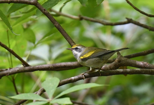 Golden-winged WarblerVermivora chrysopteraEndangered
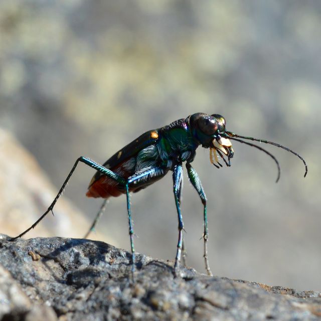 Hentz's Red-bellied Tiger BeetleCicindelidia rufiventris hentziiThreatened
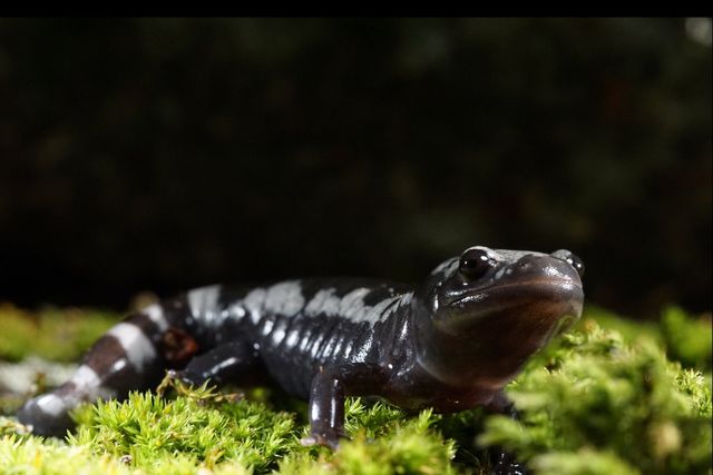 Marbled SalamanderAmbystoma opacumThreatened
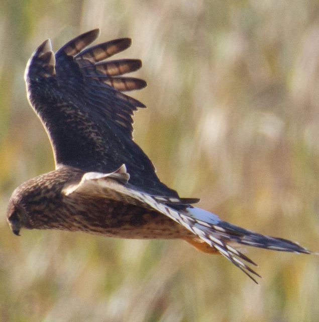 Northern HarrierCircus hudsoniusThreatened
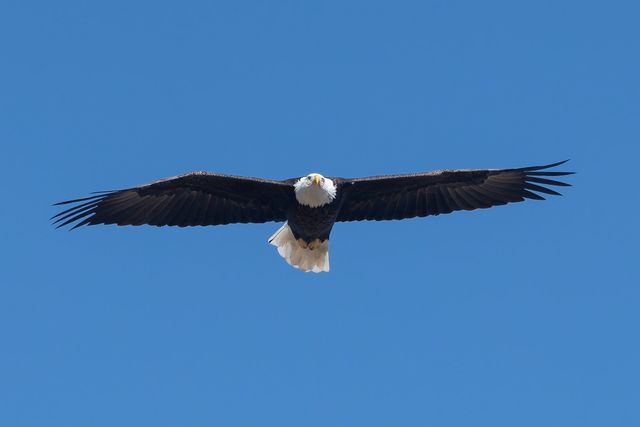 Bald EagleHaliaeetus leucocephalusSpecial Concern
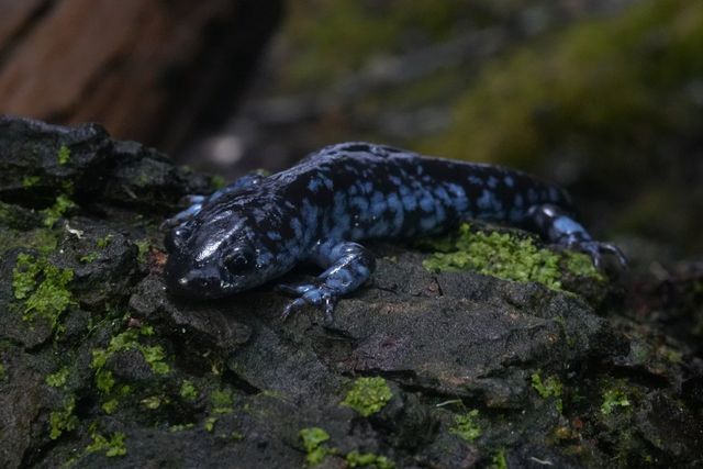 Blue-spotted Salamander (complex)Ambystoma lateraleSpecial Concern
ShowHide all 15 rare species recorded in Waltham
| Group | Species | Scientific name | Status | Last recorded |
|---|---|---|---|---|
| Birds | Bald Eagle | Haliaeetus leucocephalus | Special Concern | 2023eBird: Middlesex County, 5 Nov 2026 |
| Birds | Golden-winged Warbler | Vermivora chrysoptera | Endangered | 1906 |
| Birds | Northern Harrier | Circus hudsonius | Threatened | 1879eBird: Middlesex County, 4 Nov 2026 |
| Amphibians | Blue-spotted Salamander (complex) | Ambystoma laterale | Special Concern | 2018 |
| Amphibians | Marbled Salamander | Ambystoma opacum | Threatened | 1800s |
| Crustaceans | Intricate Fairy Shrimp | Eubranchipus intricatus | Special Concern | 1904 |
| Dragonflies | Mocha Emerald | Somatochlora linearis | Special Concern | 2012 |
| Beetles | Hentz's Red-bellied Tiger Beetle | Cicindelidia rufiventris hentzii | Threatened | 2016 |
| Beetles | Purple Tiger Beetle | Cicindela purpurea | Special Concern | 1897 |
| Plants | Whorled Milkweed | Asclepias verticillata | Threatened | 2009 |
| Plants | Long-leaved Bluet | Houstonia longifolia | Endangered | 1910 |
| Plants | Stiff Yellow Flax | Linum medium var. texanum | Threatened | 1908 |
| Plants | Pale Green Orchid | Platanthera flava var. herbiola | Threatened | 1886 |
| Plants | Violet Wood-sorrel | Oxalis violacea | Endangered | 1883 |
| Plants | Round-fruited Seedbox | Ludwigia sphaerocarpa | Endangered | 1881 |
Priority Habitat for rare species covers 184 acres of Waltham, 2% of its land; the records above are NHESP’s documented observations, kept at town level — the program does not publish locations.
Executive Order 618 (September 2023) directed the Department of Fish and Game to recommend statewide biodiversity conservation goals for 2030, 2040 and 2050; the Biodiversity Goals report (August 2025) set them.
Natural Heritage & Endangered Species Program, Rare Species Viewer, read 4 November 2026 (documented observations by town; historic records older than 25 years included); state list as of 16 August 2024 (321 CMR 10.90). A “most recent” year is the last documented record, not evidence of absence. eBird reports (birders’ sightings, last 30 days, by county; as of 6 November 2026) from eBird, Cornell Lab of Ornithology. Rare species of Massachusetts, the guide ›
What the forest is made of
OakHemlockBeechMapleBirchPineChestnutSpruce and firHickory, ash and other
Which tree is that? Trees of Massachusetts, a pocket field guide ›
No witness-tree record survives for Waltham’s own survey; the statewide picture before settlement is in the Harvard Forest compilation (Cogbill, Burk and Motzkin, 2002). Today: U.S. Forest Service inventory plots pooled by county (Thompson and others, 2013), because single-town plot counts are too small to stand alone. Statewide, oak has fallen from about 45% of surveyed trees to under 20%, maple has risen from about 6% to over 27%, and chestnut is gone.
Then and now
1830: woodland as surveyed for the town’s map (green), meadow and open land (straw), water (blue). Land with no class drawn was farmed or cleared.
2025: MassGIS aerial imagery, same frame.
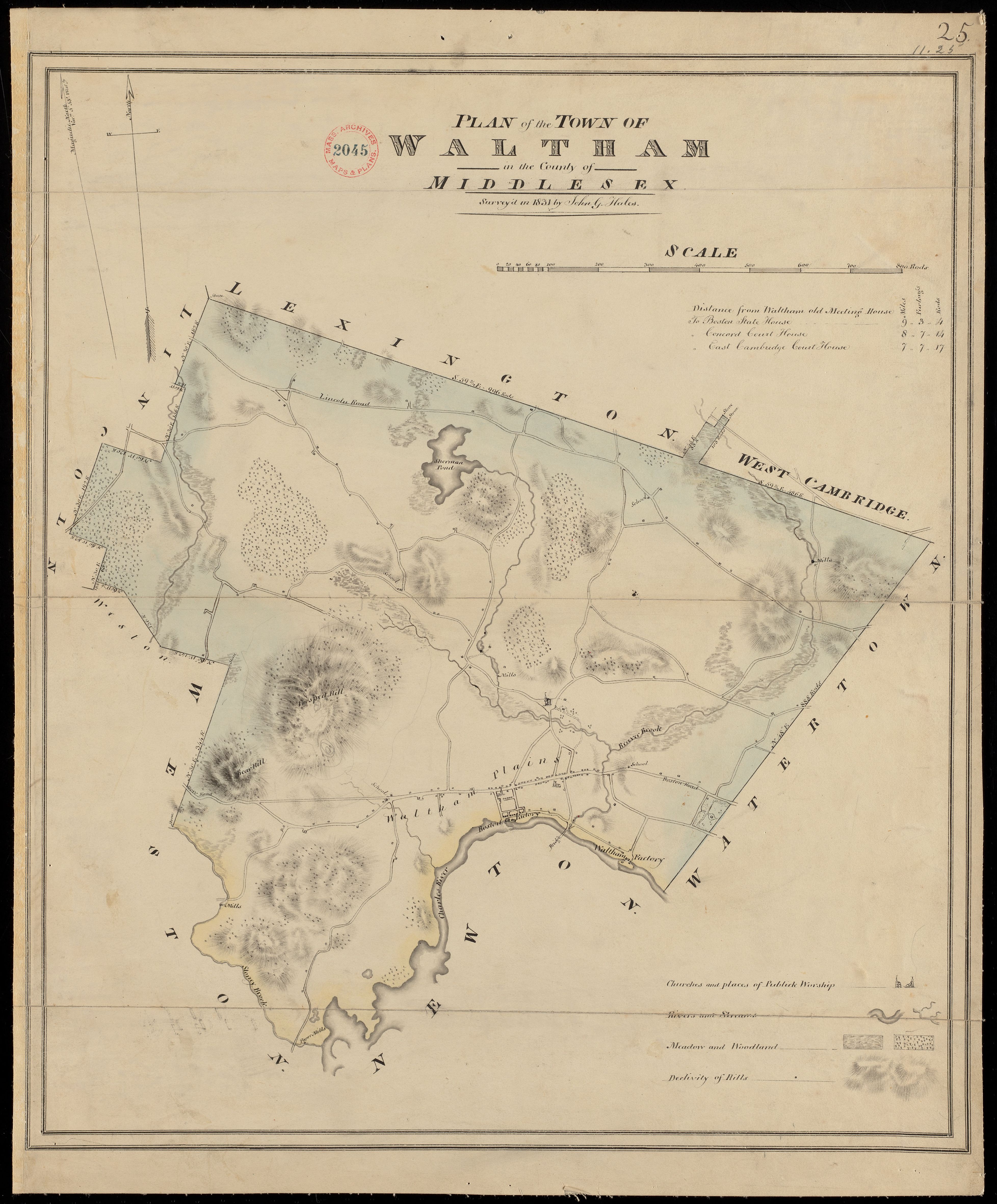
Forest in Waltham: about 1,764 acres of woodland in 1830 (22% of the land area), from the town’s 1830 map as digitized by Harvard Forest and MassGIS; the 1830 maps under-record small woodlots, so that figure is a floor; then 2,035 acres in 1971, 1,892 in 1985 and 1,664 in 1999 (MassGIS land use, one method, forested wetland counted as forest); 2,084 on the 2005 map, made a different way. DCR’s 2021 satellite estimate is 918 acres (11%), a different method. Before settlement is a regional estimate: Harvard Forest puts forest cover above 90% of the land before clearing, with openings where people farmed and burned.
Tree cover lost since 2001
Between 2001 and 2024, 116 acres of the 3,337 acres of tree cover Waltham had in 2000 were removed, 3.5% — 86% of the statewide rate (4.0%); the median of the 341 towns with at least 500 acres of tree cover lost 3.3%. 184th of 341 towns with at least 500 acres of tree cover (1 = least lost). The largest single year was 2021, 18 acres. In 2025, the newest year in the record, 0 acres.
| Agent | Years seen | Worst year | Acres that year |
|---|---|---|---|
| Winter moth | 5 | 2011 | 963 |
| Flooding-high water | 1 | 2013 | 48 |
| Spongy moth | 1 | 2016 | 16 |
| Hemlock woolly adelgid | 1 | 2021 | 13 |
The DCR and U.S. Forest Service aerial detection survey maps visible damage each summer; acres are of the mapped damage polygon, which can include non-forest, not acres of dead trees; one area can be recorded under more than one agent name; entries marked unknown or no data are left out; and the survey’s coverage varies from year to year. Agent names are the survey’s own (spongy moth was formerly called gypsy moth).
Tree cover: Hansen, Potapov, Moore, Hancher and others, Global Forest Change 2000–2025, version 1.13 (University of Maryland GLAD), at 30-metre resolution, counting pixels with at least 30% canopy in 2000. It records any removal of canopy — harvest, development, storms, dieback and defoliation — and does not net out regrowth, so it is tree cover lost, not forest lost. Loss by year was compared with the published version 1.12 for 2001–2024 and matched in every year. Pests: USDA Forest Service Insect and Disease Survey, Region 9, cooperative DCR aerial survey polygons, clipped to the town and dissolved so overlapping polygons of one agent are not double counted.
Water
Of the water MassDEP has assessed in Waltham, 441 of 471 lake acres and 8.7 of 8.7 river miles are on the state's impaired list; these are assessed waters only, not every pond and brook. Causes listed: Chloride; Phosphorus, Total; Water Chestnut. Category 4C listings are for causes that are not pollutants, such as invasive plants.
Go deeper
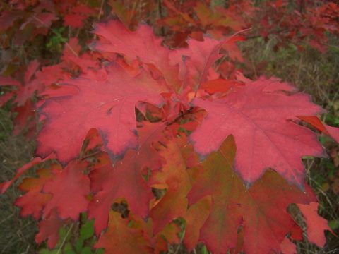
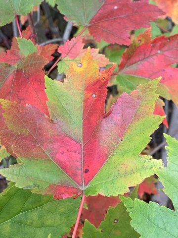
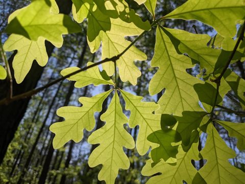
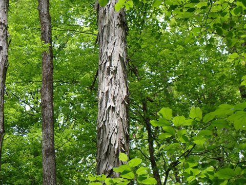
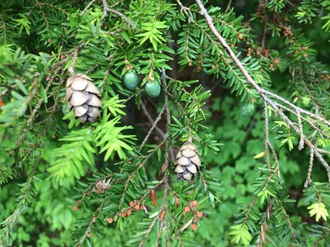 Trees of MassachusettsA pocket field guide to 83 trees, from the state’s 1925 and 2016 forestry manuals: leaves, bark, where each grows.Trees of Waltham’s forest ›
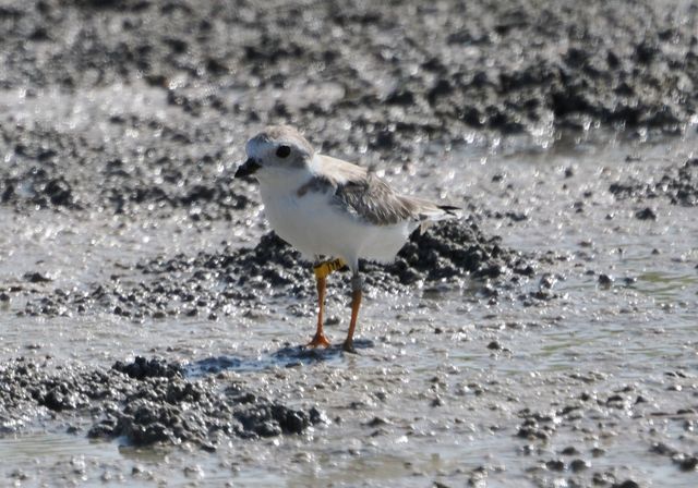
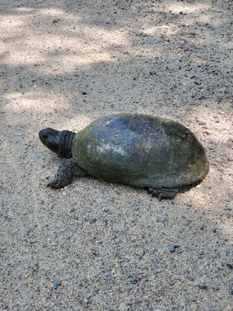
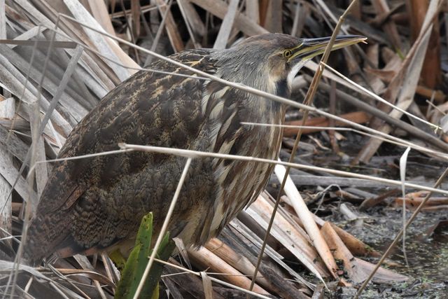
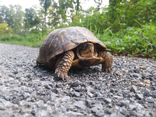
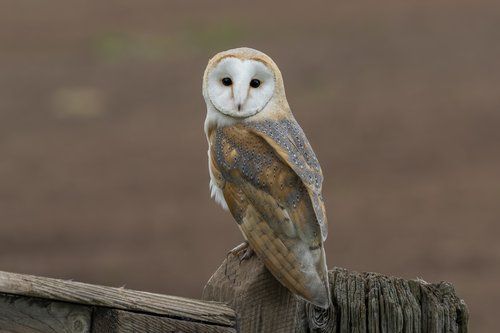 Rare species of MassachusettsThe 453 plants and animals on the state’s Endangered Species Act list, with photographs, and the cities and towns where the state has recorded each one.15 species recorded in Waltham ›
Sources: BioMap 2022 and NHESP Priority Habitats of Rare Species; MassDEP wetlands and the 2022 Integrated List of Waters (categories 4A, 4C and 5 counted as impaired); MassGIS land use 1971, 1985 and 1999 (one method) and 2005; USGS Annual NLCD land cover, 2001 and 2023 (Collection 1); DCR Massachusetts Forest Explorer, 2021 forest cover by municipality (USGS LCMAP); MassGIS 1830 land use (Harvard Forest digitization of the 1830 town maps); MassGIS protected and recreational open space (all owners, permanent protection) for the protected-land overlay; Harvard Forest data archive HF087 and HF210 for the forest mix. All from MassGIS and DCR feature services and the Harvard Forest archive, 1 November 2026. Method.
Climate
In the Central climate division, average annual temperature was 48.7 °F in 1991–2020, 1.7 °F above 1951–1980.
Then and now
| 1951–1980 | 1991–2020 | Change | Trend per century, 1895–2025 | |
|---|---|---|---|---|
| Average annual temperature | 47.0 °F | 48.7 °F | +1.7 °F | +2.8 °F± 0.3 |
| Winter (December to February) | 25.2 °F | 27.9 °F | +2.7 °F | +4.1 °F± 0.7 |
| Summer (June to August) | 67.8 °F | 69.3 °F | +1.5 °F | +2.5 °F± 0.3 |
| Annual precipitation | 45.0 in | 48.2 in | +3.3 in | +5.9 in± 1.5 |
Source: NOAA National Centers for Environmental Information, Climate at a Glance, climate division 2 (Central; Franklin, Hampden, Hampshire, Middlesex, Norfolk and Worcester counties), monthly series 1895–2025, NOAA’s adjusted nClimDiv series. Averages are for 1951–1980 and 1991–2020; the winter of a year uses the December before it. The trend is a least-squares line over 1895–2025 (131 years; winter 130), with its standard error after ±. A division is a group of counties, so every town in it carries the same figures.
ShowHide Nearest weather station: Boston Logan Airport, 12.0 miles
Nearest weather station
| Station and distance | 1951–1980 | 1991–2020 | |
|---|---|---|---|
| Freeze-free seasondays | Boston Logan Airport, 12.0 miles | 214 | 220 |
| Snowfallinches a year | Boston Logan Airport, 12.0 miles | 42.9 | 48.7 |
| Days with 1 inch or more of precipitationdays a year | Boston Logan Airport, 12.0 miles | 11.2 | 10.2 |
| Days at 90 °F or abovedays a year | Boston Logan Airport, 12.0 miles | 12.6 | 14.1 |
Source: NOAA NCEI GHCN-Daily station records, averages for 1951–1980 and 1991–2020, as measured. Each row shows the nearest station within 25 miles (straight line from the town’s center) with at least 60 years of record and 80% of days observed in both periods; a dash means the station’s record does not meet the rule for that period. Precipitation counts rain and melted snow. Freeze-free season is the days between the last spring and first fall low of 32 °F or colder.
Extreme rain days
Days at Boston Logan Airport, 12.0 miles away, whose precipitation was above the NOAA Atlas 14 amount for 24 hours that is exceeded on average once in 100, 500 or 1,000 years at the station’s location: 7.88 inches (100-year), 10.9 inches (500-year) and 12.4 inches (1,000-year). Record used: 1936–2026.
No day at Boston Logan Airport exceeded the 100-year 24-hour amount in its record.
Source: thresholds are NOAA Atlas 14, Volume 10 (Northeastern States), Version 3, point precipitation frequency estimates for the station’s latitude and longitude (partial duration series) from the NOAA Precipitation Frequency Data Server, retrieved November 8, 2026. NOAA is updating these estimates. Daily totals are NOAA NCEI GHCN-Daily, as measured, with flagged values dropped. A daily total covers a calendar day or the station’s observation day, not the largest amount in any 24 consecutive hours: a storm that crosses midnight is split between two days, so these totals understate 24-hour maxima. A station measures one point, not the town.
ShowHide Storm records for Middlesex County since 1996: 1,825 records
Storm records
Storm records by type, Middlesex County, 1996–2025
Thunderstorm wind
563
High and strong wind
358
Flood and flash flood
258
Heavy snow
197
Hail
160
Winter storm and winter weather
141
Lightning
63
Drought
30
Other types
55
All strips use one scale: the tallest bar, thunderstorm wind in 2016, is 59 records.
Counts of storm records, not of storms: one storm can produce several records, and reporting has improved over time.
Reported property and crop damage, 1996–2025: $134 million in 2025 dollars. Largest single record since 1950: Flood, March 14, 2010, $39.0 million in 2025 dollars.
The records also list seven deaths and 71 injuries.
Source: NOAA National Centers for Environmental Information, Storm Events Database, records for the county and its forecast zones, 1996–2025. All event types are recorded from 1996; before then the database holds only tornado, thunderstorm wind and hail, so the largest-record line reaches back to 1950 and its early damage values are order-of-magnitude estimates. NOAA revised its event types in 2007, and some categories begin then. Related types share a strip: flood with flash flood, high wind with strong wind, winter storm with winter weather, coastal flood with storm surge, extreme cold with cold/wind chill, heat with excessive heat. Up to eight types with at least 20 records in the county get a strip; the rest are in Other types. Deaths and injuries are direct plus indirect. Damage is the reporter’s estimate of property and crop damage, a floor and not a full cost, in 2025 dollars by the BLS consumer price index.
ShowHide Rivers, low water, public water sources: nearest active stream gauge 1.2 miles away; low-water record and drought declarations; one public water source located in the town
Rivers and coast
Nearest active stream gauge: Charles River at Waltham, MA (1.2 miles), draining 251 square miles. Its record annual peak is 4,270 cubic feet per second, in water year 2010, among 94 years of annual peaks (1932–2025). The USGS marks that peak as affected by regulation or diversion to an unknown degree.
Annual peak streamflow at Charles River at Waltham, MA, water years 1932–2025
Source: U.S. Geological Survey, National Water Information System, annual peak streamflow, gauges with 50 or more water years of peaks and a peak in water year 2015 or later, within 15 miles of the town’s center. A water year runs from October 1 to September 30. A gauge measures one point on a river, not the town.
Low water
Drought declarations: Waltham is in the Northeast drought region. The state declares drought levels (the Secretary of Energy and Environmental Affairs, on the Drought Management Task Force’s review). Each month in the state’s tables since November 2001 is colored by the level declared; a month with a change partway through is split in two and read as “mid-month”.
State drought declarations for the Northeast drought region, November 2001 to September 2026
Under the 2013 plan (in use to 2017):AdvisoryWatchWarningUnder the 2019 plan (from 2019):MildSignificantCriticalNo declaration listed
Periods at the highest level of each plan (Warning, Critical):
- Warning: July 2016 to November 2016
- Critical: July 2022 to August 2022
- Critical: October 2024 to November 2024, declared November 7, 2024 and November 19, 2024
- Critical: January 2025 to February 2025
- Critical: February 2026
- Critical: May 2026 to June 2026
Source: Massachusetts Executive Office of Energy and Environmental Affairs, History of drought declarations in Massachusetts (2019 to 2026) and the state’s Drought Status History, dated August 12, 2025 (2001 to 2017); press releases for October 2024 and for 2026. Dates are the state’s month labels, not declaration days; a month with no row in the tables has no declaration listed. Level names follow the plan in effect: Advisory, Watch and Warning under the 2013 plan (to 2017); Mild, Significant and Critical under the 2019 plan (from 2019). The two sets are not matched level for level. Drought regions follow the county rule in the state’s Drought Management Plan (Table 2): Western is Berkshire County; CT River Valley is Franklin, Hampshire and Hampden; Central is Worcester; Northeast is Essex, Middlesex and Suffolk, with the town of Brookline; Southeast is Bristol, Plymouth and Norfolk except Brookline; Cape Cod is Barnstable; Islands is Nantucket and Dukes. The state can also declare by county or river basin.
Low flow at Charles River at Waltham, MA (1.2 miles; drains 251 square miles): the lowest 7-day average flow in the gauge’s record (USGS daily values, 1931–2025) is 2.99 cubic feet per second, in water year 1957 (the window ends September 6, 1957).
Regulated by dams or diversions. USGS flags this gauge as regulated: its flows include reservoir releases, withdrawals, diversions and wastewater returns, and are not natural flows.
Lowest 7-day average flow each water year, Charles River at Waltham, MA, 1931–2025
The dashed line is the 7Q10, 8.27 cubic feet per second, a USGS statistic for the climatic year (April 1 to March 31) over April 1, 1932 to March 31, 2021; it is not comparable year for year with the water-year values shown.
One bar per water year (October 1 to September 30): the lowest 7-day average flow in the year, for years with at least 330 days of flow data. Shaded years have no value; they are gaps, not zero. The orange bar is the lowest in the record: 2.99 cubic feet per second, water year 1957. The scale starts at zero. Source: U.S. Geological Survey daily mean discharge (parameter 00060), NWIS daily values, gauge 01104500, record through September 30, 2025, retrieved November 8, 2026; 7Q10 from the USGS data release Low-flow statistic equations and supplementary data for Massachusetts (2025). These are records of past flows; they do not predict flows or restrictions and say nothing about cause.
Public water sources in town
Waltham has one active community-system source located in the town: no groundwater and one surface water. MWRA lists the town as a water customer.
Community water systems with an active source in the town (1):
- Cambridge Water Department
Primary watershed: Stony Brook (majority: 100% of the town’s active community-system sources), in the Charles river basin. Surface-water intakes can draw from upstream, and wells from an aquifer that extends past the watershed.
Linked gauge: Hobbs Bk below Cambridge Res near Kendall Green, MA, 0.9 miles from the center of that watershed: the nearest active gauge in the same larger (HUC8) watershed, not a gauge on a town source. Whether the flow at this gauge is regulated is not known.
Source: MassGIS Public Water Supplies (MassDEP), as of September 3, 2025, each source placed in the town where it is located (the layer locates sources, not service areas; a system’s wells can be in another town); watersheds from the USGS Watershed Boundary Dataset; gauges from the USGS NWIS site catalog, retrieved November 8, 2026; MWRA class from the MWRA customer communities page, retrieved November 8, 2026. Labels on system names are the data’s own.
MWRA reservoirs: on November 1, 2026, MWRA printed Quabbin Reservoir at 516.77 feet, 313,267 million gallons, 76.0% of capacity, and Wachusett Reservoir at 390.74 feet, 60,127 million gallons, 91.5% of capacity.
Quabbin and Wachusett reservoir levels, January 2005 to November 2026
Elevation, as printedMonth with an inconsistent printed figure
Values are first-of-month readings as MWRA prints them, not daily levels. MWRA’s page prints an inconsistent figure in twelve months (open circles): Quabbin July 2005, June 2007, May 2008, April 2012, April 2017, December 2022, April 2025, July 2026; Wachusett April 2005, December 2023, June 2025, July 2026. They are shown as printed, not corrected. Source: MWRA Water Supply and Demand, retrieved November 8, 2026.
ShowHide What the state projects: +16.7 days a year above 90 °F by 2050 in the Charles River and Boston Harbor basin (RCP4.5, median)
What the state projects
Days a year, Charles River and Boston Harbor basin: baseline and the Commonwealth’s projections for 2050 and 2070
RCP4.5RCP8.5Dot: median. Bar: 10th to 90th percentile.
| Baseline, days a year | 2050, RCP4.5 | 2050, RCP8.5 | 2070, RCP4.5 | 2070, RCP8.5 | |
|---|---|---|---|---|---|
| Days above 90 °F | 7.7 | +16.7+8.2 to +27.1 | +21.3+12.2 to +39.3 | +21.3+8.2 to +33.2 | +39.3+21.3 to +59.2 |
| Days above 1 inch of precipitation (heavy-precipitation days) | 5.7 | +1.1+0.7 to +1.4 | +1.3+0.9 to +1.9 | +1.3+0.7 to +1.7 | +1.9+1.3 to +2.4 |
Source: Massachusetts Executive Office of Energy and Environmental Affairs, Climate and Hydrologic Risk Project, Phase 1 (Cornell University stochastic weather generator), HUC8 basin projections for the Charles River and Boston Harbor basin (USGS unit 01090001, named Charles, which covers the Charles River and the streams draining to Boston Harbor and Massachusetts Bay), which holds 100% of Waltham’s land. These are the Commonwealth’s projections. Scenarios: RCP4.5 and RCP8.5, two emissions pathways. Each figure is the median change across a 50-member ensemble, with the 10th to 90th percentile range beneath it. Baseline: the ensemble median of simulations fit to observations, 1950–2013. Each value is a 30-year average centered on the year shown.
ShowHide Public assets in mapped hazard areas, dam condition and older flood maps: 2.2 miles of public road in the FEMA 1% flood zone; of three High or Significant hazard dams, none are rated Poor or Unsatisfactory
Public assets in mapped hazard areas
The map loads when this part opens.
FEMA 1% annual-chance flood zoneFEMA 0.2% annual-chance (500-year) flood zoneTown-accepted roadMassDOT roadDCR roadOther public roadPublic facility in the zoneScour-critical bridge
| Miles in the 1% zone | Miles in the 0.2% zone | All miles | |
|---|---|---|---|
| Town-accepted roads | 2.2 | 0.9 | 113.2 |
| MassDOT roads | 0.0 | 0.0 | 10.7 |
| DCR roads | 0.0 | 0.1 | 0.3 |
| Other public roads | 0.0 | 0.0 | 3.4 |
| All public roads | 2.2 | 1.0 | 127.6 |
| Other roads (private, unaccepted or not coded) | 3.3 | 0.5 | 47.2 |
Named public facilities in the 1% zone: none among the mapped schools, police and fire stations, town and city halls, libraries, hospitals and wastewater plants.
In the 0.2% zone (the 500-year flood zone, outside the 1% zone): 1.0 miles of public road and none of the mapped public facilities.
Scour-critical bridges: Two bridges in Waltham are coded 0 to 3 on the federal inventory’s scour item (one town-owned, one state-owned).
Stream crossings with no aquatic organism passage: five of 34 assessed road-stream crossings (all road owners) in Waltham; 86 are mapped. Assessment is partial and volunteer-driven.
Dams rated by the state
Of three High or Significant hazard dams, none are rated Poor or Unsatisfactory in the state’s condition assessments reported to the National Inventory of Dams. Assessments are dated October 31, 2024 to June 19, 2025.
| Dam | Owner | Hazard potential | Condition | Assessed |
|---|---|---|---|---|
| Moody Street DamCharles River | State owned | High | Fair | June 19, 2025 |
| Cambridge Reservoir DamHobbs Brook | Municipally owned | High | Satisfactory | October 31, 2024 |
| Stony Brook Reservoir DamStony Brook | Municipally owned | High | Satisfactory | October 31, 2024 |
A condition rating is not a prediction of failure or an engineering opinion. Hazard potential describes the consequences if a dam failed, not how likely that is. Low-hazard dams and dams with no rating are outside this count.
Source: MassGIS Dams (DCR Office of Dam Safety), retrieved November 8, 2026, for hazard potential and owner type (the owner class only; owners are not named); condition ratings and assessment dates from the U.S. Army Corps of Engineers National Inventory of Dams, Massachusetts, downloaded November 8, 2026. Poor and Unsatisfactory are the state’s terms as reported to the Inventory. Dam names are as recorded by the state.
Source: roads: MassDOT Road Inventory (pulled November 8, 2026) clipped to the FEMA National Flood Hazard Layer zones A, AE, AH, AO and VE (the 1% zone) and shaded X (the 0.2% zone, counted outside the 1% zone) as served by MassGIS (October 18, 2026), each community’s effective map, many of which predate current conditions; facilities: MassGIS schools, police and fire stations (2022), town halls (2017), libraries (2025), DPH hospitals (March 2026), EPA wastewater plants, and MassDEP public water supplies (September 2025), each a mapped point; bridges: FHWA National Bridge Inventory 2025, scour item; crossings: NAACC download of April 8, 2026. Counts are of mapped locations inside a mapped zone; they do not describe damage or failure.
ShowHide Snow and ice spending, FY2012–FY2026: spent more than appropriated in one of 15 years
Snow and ice
Waltham spent more than it appropriated for snow and ice in one of the 15 fiscal years with a report, FY2012–FY2026; the largest overrun was $108,846, in FY2016.
Snow and ice spending, snowfall and winter storm records, Waltham, FY2012–FY2025
AppropriatedSpentSnowfall, Boston Logan AirportNumber of storm records
| Fiscal year | Appropriated | Spent | Spent minus appropriated | Snowfall that winter |
|---|---|---|---|---|
| FY2012 | $1,368,000 | $468,488 | −$899,512 | 9.3 in |
| FY2013 | $1,808,000 | $1,739,967 | −$68,033 | 63.5 in |
| FY2014 | $3,062,800 | $3,051,252 | −$11,548 | 59.0 in |
| FY2015 | $5,186,139 | $4,927,205 | −$258,934 | 110.6 in |
| FY2016 | $1,995,556 | $2,104,402 | +$108,846 | 36.2 in |
| FY2017 | $2,940,700 | $2,879,817 | −$60,883 | 47.6 in |
| FY2018 | $3,517,820 | $3,452,362 | −$65,458 | 60.0 in |
| FY2019 | $2,601,745 | $2,531,478 | −$70,267 | 27.4 in |
| FY2020 | $1,944,145 | $1,608,323 | −$335,822 | 15.8 in |
| FY2021 | $2,984,379 | $2,569,070 | −$415,309 | 38.6 in |
| FY2022 | $3,008,445 | $2,750,234 | −$258,211 | 54.1 in |
| FY2023 | $1,814,439 | $1,806,340 | −$8,099 | 12.4 in |
| FY2024 | $1,546,899 | $1,545,478 | −$1,421 | 9.9 in |
| FY2025 | $2,871,391 | $2,549,898 | −$321,493 | 28.2 in |
| FY2026 | $5,208,452 | $5,201,932 | −$6,520 | 62.8 in |
Snowfall is from Boston Logan Airport, 12.0 miles away, for the winter ending in that fiscal year (July 1 to June 30); a dash means the station’s record for that winter does not meet the coverage test. Spending also reflects prices, contracts, plowing thresholds and the timing of storms.
Source: Massachusetts Department of Revenue, Division of Local Services, Municipal Databank, Snow and Ice Data Sheets (submitted by the town, unaudited), FY2012–FY2026. Appropriated is the original budget plus supplemental appropriations and transfers; spent is expenditures and encumbrances charged to the appropriation. FY2026 reports were still arriving when the data were pulled. Snowfall: NOAA GHCN-Daily, Boston Logan Airport.
ShowHide Fire: 22 fires and 13.75 acres recorded in Waltham, 2015–2024
Wildfires recorded in Waltham, 2015–2024
Waltham had 22 recorded fires, burning 13.75 acres, in 2015–2024 in the federal Fire Occurrence Database.
| Year | Fires | Acres |
|---|---|---|
| 2015 | 1 | 3 |
| 2016 | 1 | 3 |
| 2017 | 0 | 0 |
| 2018 | 4 | 1.25 |
| 2019 | 2 | 0.5 |
| 2020 | 2 | 2 |
| 2021 | 0 | 0 |
| 2022 | 5 | 1.95 |
| 2023 | 3 | 0.6 |
| 2024 | 4 | 1.45 |
| 2015–2024 | 22 | 13.75 |
Wildfires recorded in Middlesex County, 2015–2024
Fires
1,267 fires
Acres burned
786.63 acres
Fires and acres recorded in Middlesex County by year, 2015–2024; each strip has its own scale. Counts are of recorded fires, including very small ones.
Source: U.S. Forest Service Research Data Archive, Fire Program Analysis Fire-Occurrence Database (FPA FOD), 7th edition, 1992–2024 (doi 10.2737/RDS-2013-0009.7), records for Massachusetts, 2015–2024 only. For 2015–2024 the records come from the statewide state reporting system (the database’s coverage note: statewide_state_system); earlier records are partial and are not shown here. Town is from each record’s location; county is the county containing it. Fires on military training ranges (Devens; Camp Edwards) are labeled in the data and left out of the totals. The database holds no cause detail shown here; a large share of its records have no specific cause. The 2025 and 2026 seasons are not in this edition.
ShowHide Disasters and aid: 39 federal declarations designated Middlesex County since 1953; hazard mitigation plan status, aid to the town, county power outages and the Commonwealth’s recent requests
Federal disaster declarations and aid
Since 1953, 39 federal declarations have designated Middlesex County, counting statewide declarations.
Federal declarations designating Middlesex County, 1953–2026
Major disasters (DR)
22
Emergencies and fire management (EM, FM)
17
A declaration is counted in the year it was made if it designated the county or the whole state, for any program (public assistance, individual assistance or hazard mitigation). Declarations made only for a tribe are not counted. Each strip has its own scale.
Source: FEMA, OpenFEMA Disaster Declarations Summaries (API), retrieved November 8, 2026.
Aid to the Waltham government
Public Assistance: FEMA has obligated $4,080,321 in federal share to the Waltham town government, across 23 funded projects in 14 disasters (declarations from December 1999 on). These are obligations to date, not spending. Fire districts, light plants, schools and other local units are separate and not counted.
Hazard mitigation grants: no subapplication from the Waltham town government appears in the data.
Source: FEMA, OpenFEMA Public Assistance Funded Project Details (refreshed July 23, 2026; applicants refreshed November 8, 2026) and Hazard Mitigation Assistance Subapplications. Applicants are matched to the town government by name, so a name in an unusual form can be missed. “Obligated” means FEMA has committed the money; it does not mean the work is built or complete.
National Flood Insurance Program: since 1978, 151 claim records for Waltham, 114 of them with a payment, $1,649,017 paid in all (52 records and $875,362 paid since 2010). Policies in force on December 31, 2025: 156.
Source: FEMA, OpenFEMA NFIP Claims and Policies (as of September 8, 2026). Claims paid are building, contents and increased cost of compliance payments, 1978 to date; they are not a measure of damage. Multi-year totals only: a single year in a small town can identify one claim, and dollar totals are shown only where three or more claims were paid.
Hazard mitigation plan: Expired October 1, 2024 (FEMA). Plan: City of Waltham Hazard Mitigaiton Plan and Muncipal Vulnerability Preparedness Plan 2019, approved October 2, 2019.
Source: FEMA, OpenFEMA Hazard Mitigation Plan Statuses (API), retrieved November 8, 2026. The best entry for the town is shown.
Power outages, Middlesex County, 2021–2025
| Year | Outage hours per housing unit | Customer-outage hours | Largest event (Eastern date) |
|---|---|---|---|
| 2021 | 1.6 | 1,091,257 | No event reached 5% of housing units |
| 2022 | 1.8 | 1,202,744 | No event reached 5% of housing units |
| 2023 | 4.9 | 3,251,377 | December 18, 202385,579 customers out at the peak |
| 2024 | 1.9 | 1,292,620 | No event reached 5% of housing units |
| 2025 | 2.6 | 1,726,151 | No event reached 5% of housing units |
Source: DOE-supported EAGLE-I, Oak Ridge National Laboratory, readings every 15 minutes (figshare, version 4; 2025 added February 24, 2026). Customer-outage hours are customers without power times hours; per housing unit divides by the county’s housing units (ACS 2020–2024, seasonal and vacant units included). Counts are customers (utility meters) without power, not people. One customer can be a household, a business or a seasonal home. The largest event is the run of readings with at least 5% of the county’s housing units without power that peaked highest. EAGLE-I collects utility outage maps; coverage was 98–99% of Massachusetts customers in 2021–22 and is not documented for 2023–2025. In some years one event accounts for most of the hours. 2025 is a lower bound (20,798 blank readings). Times are Eastern, converted from UTC.
Recent requests by the Commonwealth
In December 2023 the Commonwealth requested a major disaster declaration for the September 2023 storms and flooding in Worcester, Hampden and Bristol counties (Leominster and surrounding communities). FEMA denied the request in a letter dated February 11, 2024 (as reported by CBS Boston; the letter was not retrieved); the Commonwealth appealed on March 11, 2024; FEMA’s letter of May 28, 2024 states that the appeal was approved on May 15 for individual assistance in Bristol and Worcester counties and for hazard mitigation statewide, and that the Public Assistance appeal was denied (DR-4780).
For the February 2026 blizzard the Commonwealth requested a major disaster declaration on April 7, 2026, reporting about $45 million in eligible costs (the Commonwealth’s figure; no FEMA document with that figure was seen). The request was denied on July 2, 2026; the Commonwealth appealed on July 31; the appeal was denied on September 2, 2026 (FEMA record). The Mashpee Wampanoag Tribe’s separate request for the same storm was approved on June 30, 2026 (DR-4919).
Sources: OpenFEMA Disaster Declarations Summaries and Declaration Denials (request 26052; status date September 2, 2026); FEMA letter of May 28, 2024; Commonwealth releases of March 12, 2024 and July 31, 2026; the Governor’s letter of July 31, 2026 (the $45 million, reported there with a $13.6 million threshold); CBS Boston, February 13, 2024 (date of the February 11 letter, which was not retrieved).
Station records are as measured, not adjusted for station moves or instrument changes; the regional series are NOAA’s adjusted series. Projections are the sources’ own, shown with their scenarios and years.