Stockbridge · National Register
Old Curtisville Historic District
Historic district · listed 1976
- Type
- Historic district
- Town
- Stockbridge
- Listed
- 1976
- Location
- N of Stockbridge on MA 183
- Areas of significance
- Architecture; Industry
- Architectural classification
- Federal; Greek Revival
- Reference number
- 76000250
About this listing
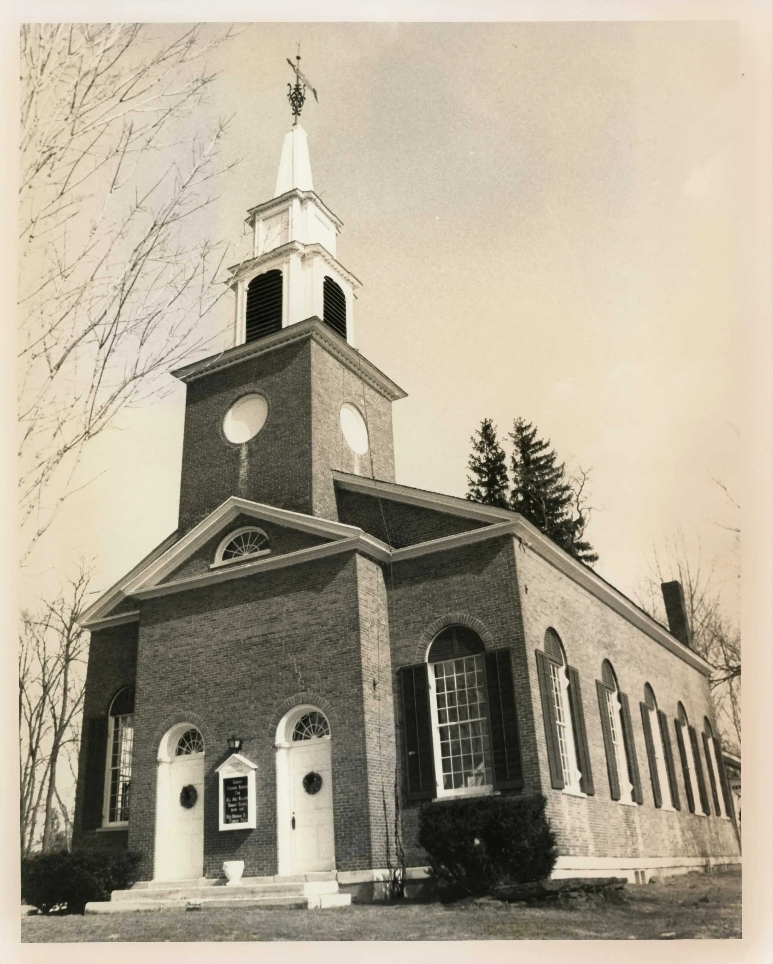
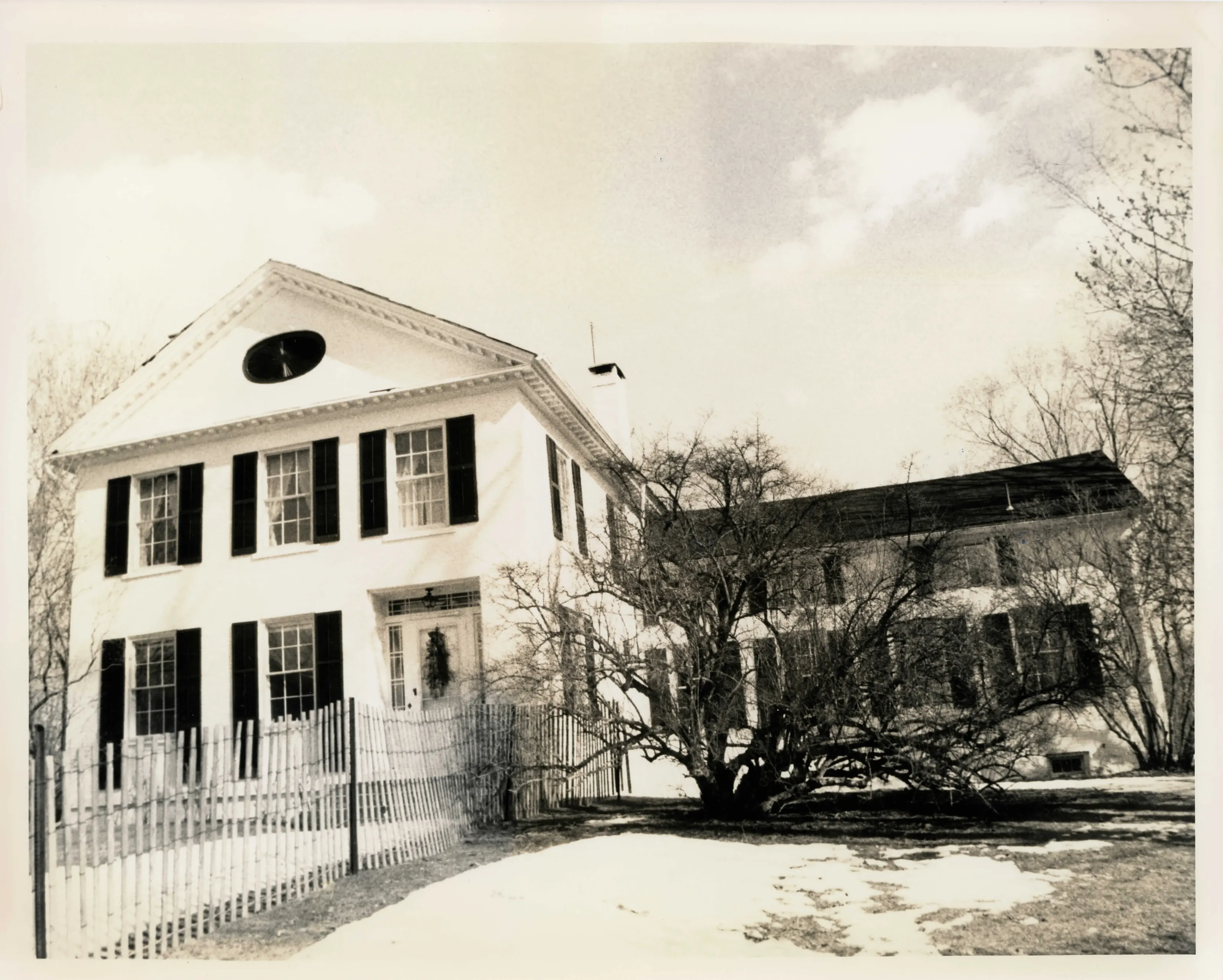
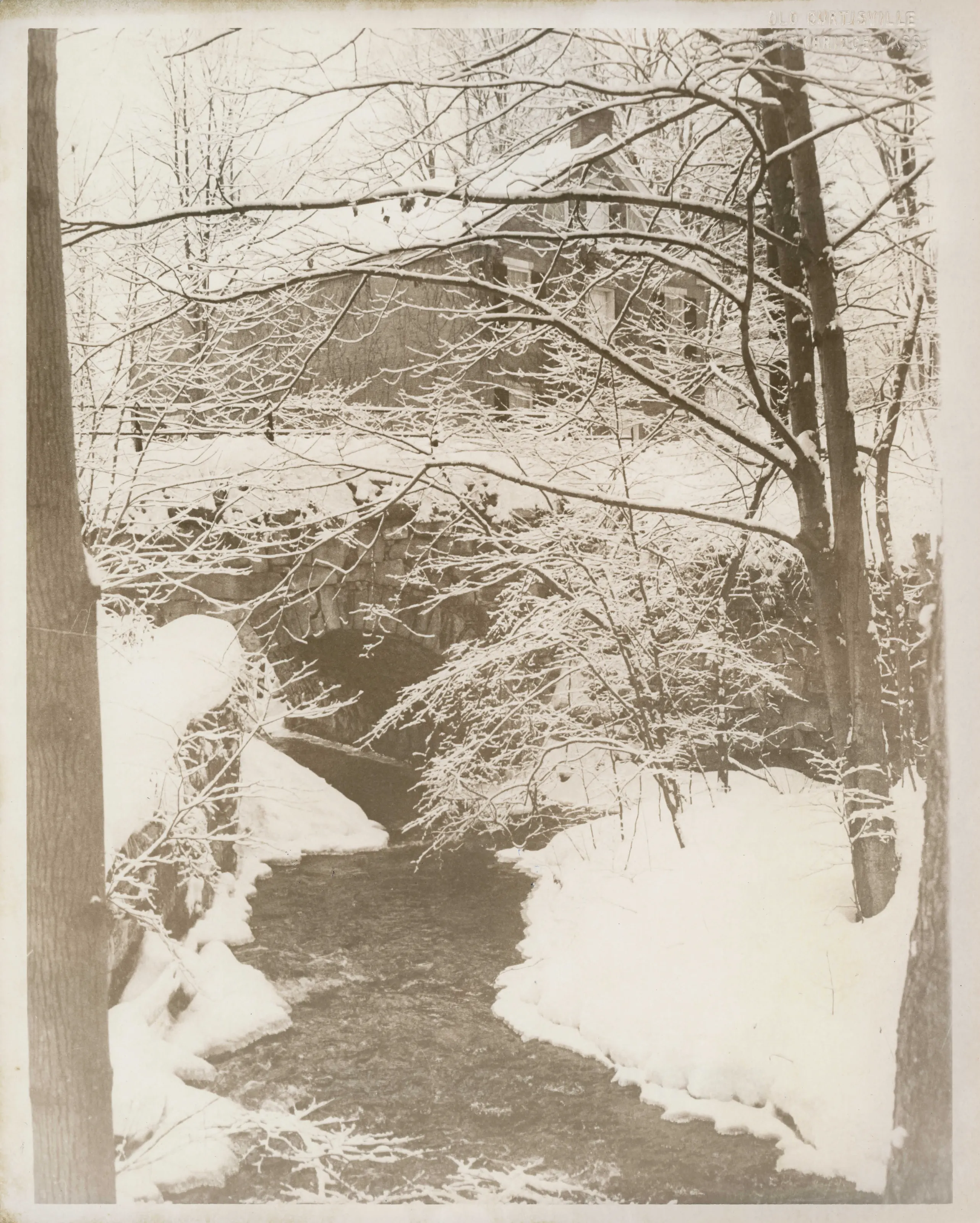
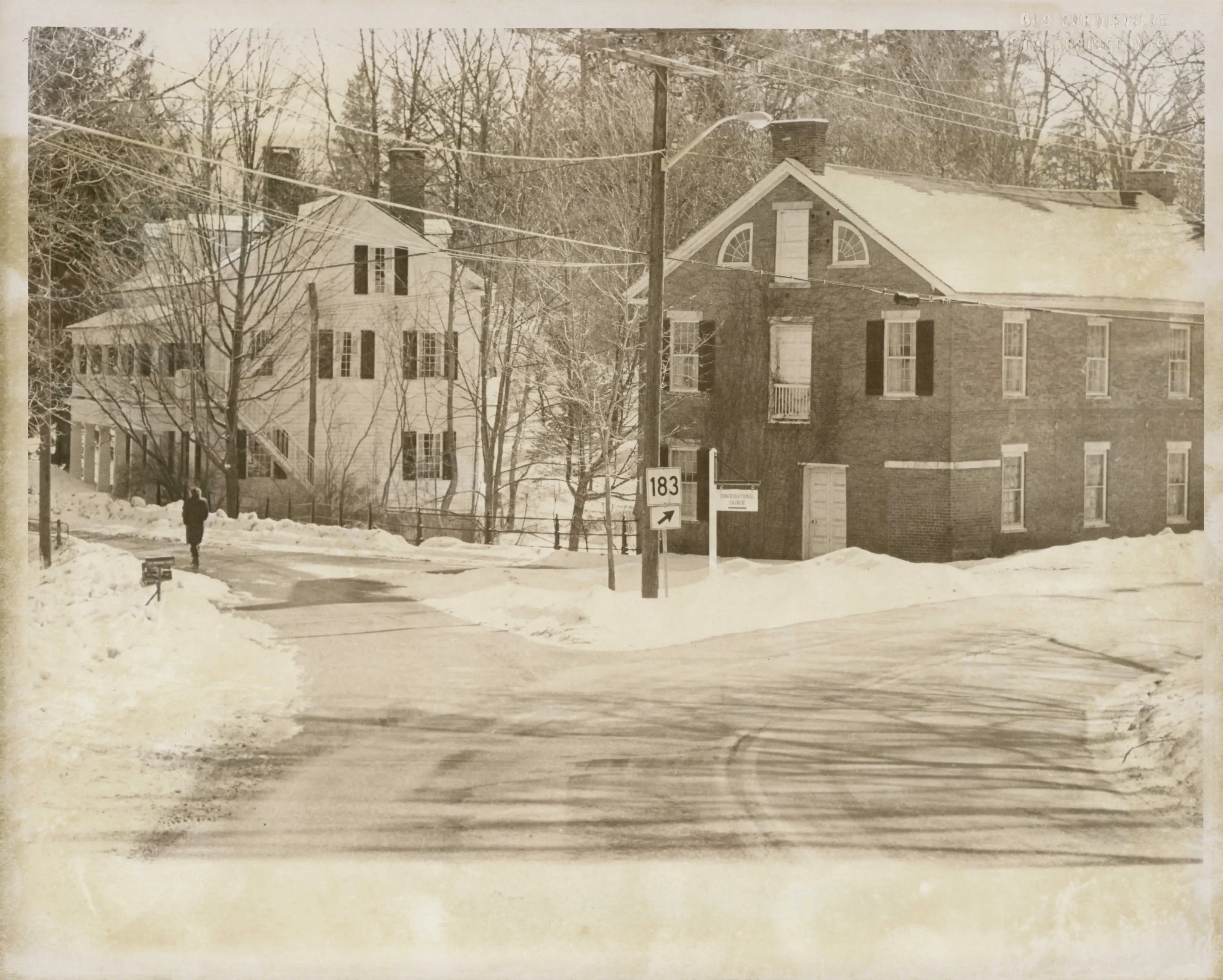
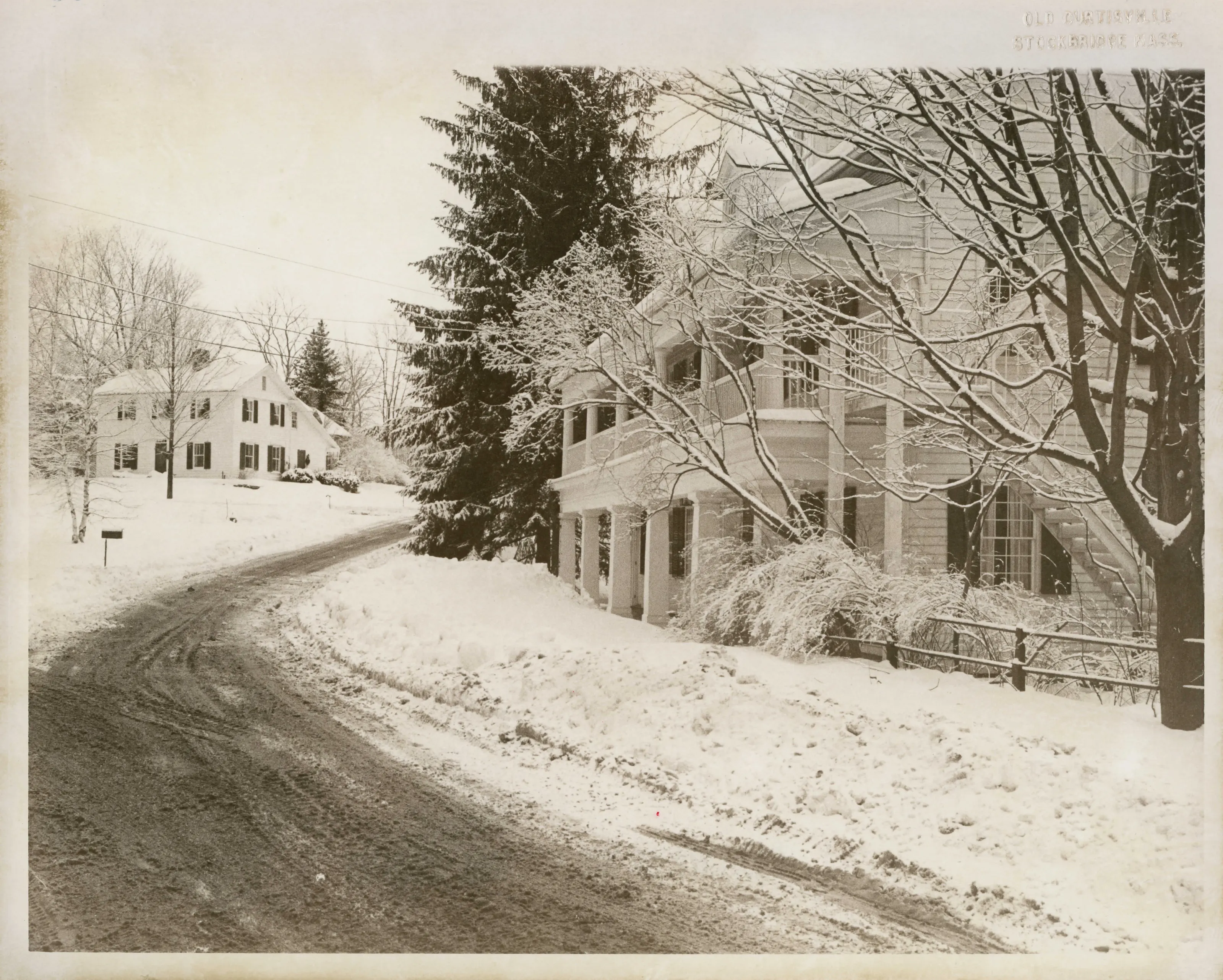
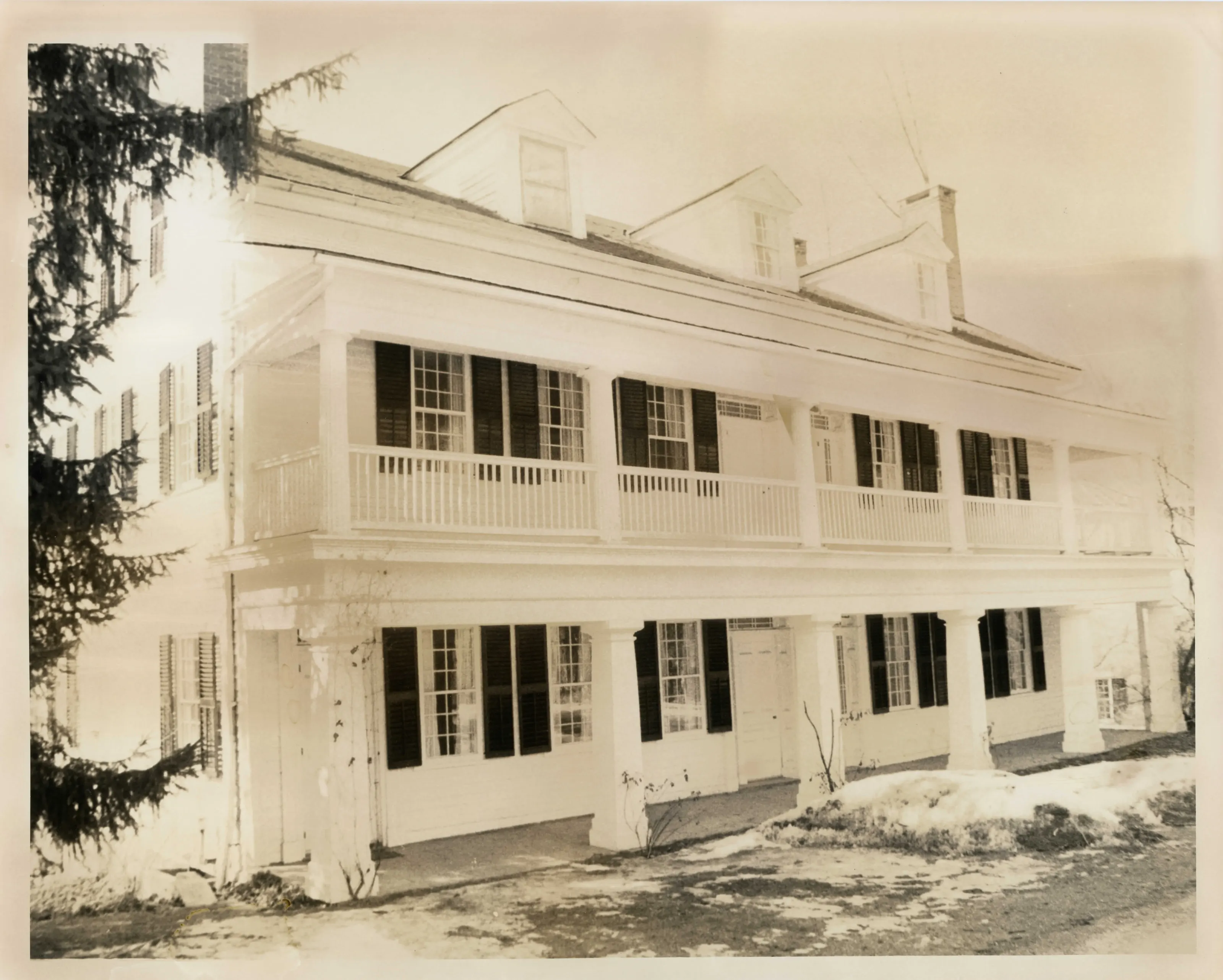
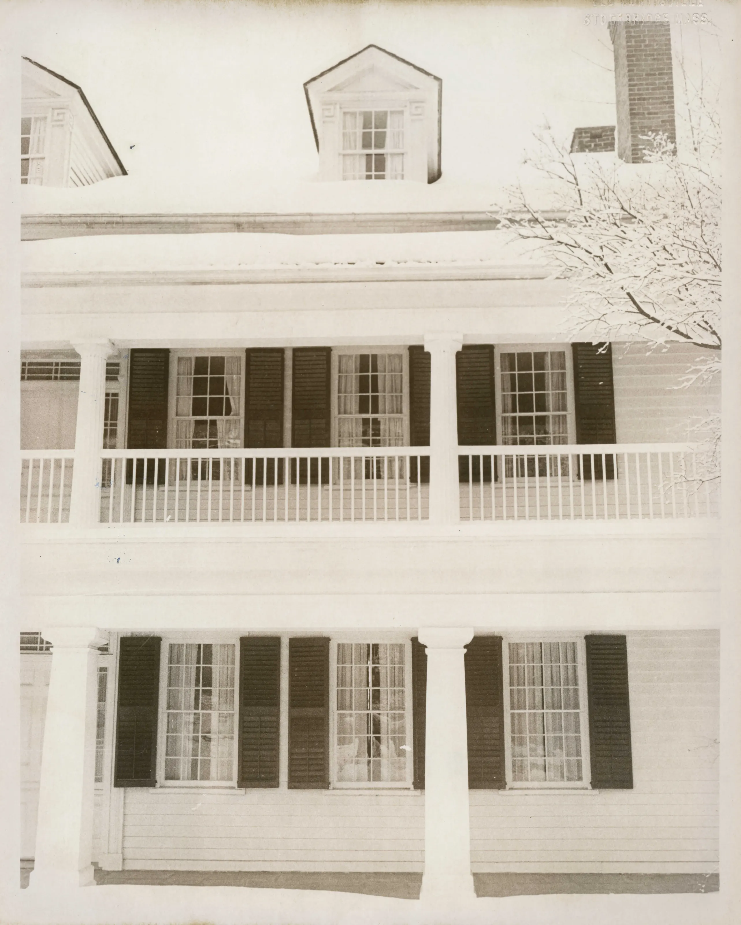
Rural mill hamlet of 170 acres in Interlaken, Stockbridge, with 53 structures and about 20 mill sites along Larrywang Brook. Mostly Federal and Greek Revival houses built 1820-1835, with a brick church, a store and an inn. Stone dams, raceways and a bridge remain from seven small mills.
- Built
- 1820-1870
- Style
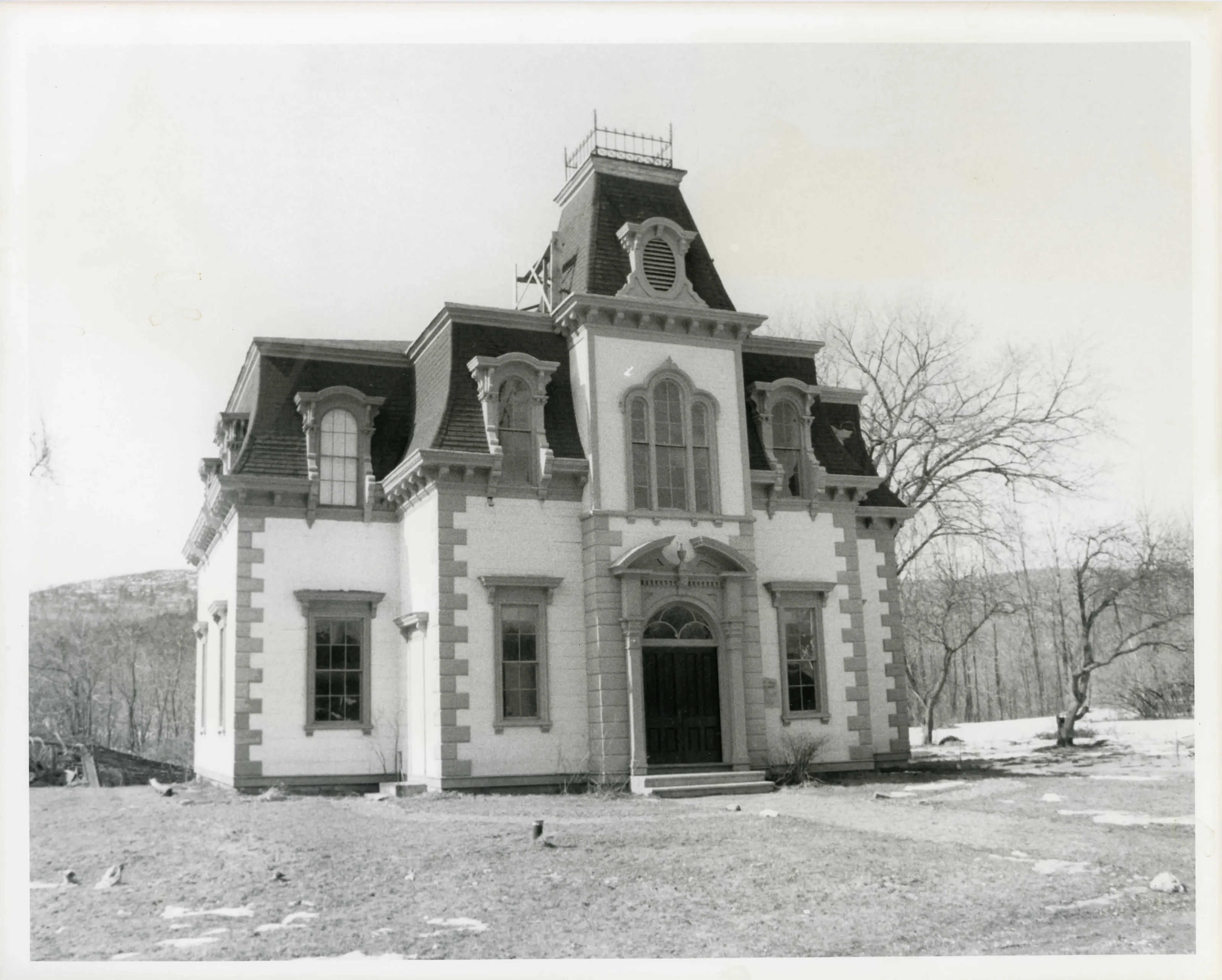
- Federal and Greek Revival; French Second Empire (Citizens Hall)
- Significance and period
- Architecture; Industry
- People named
- Ammi Phillips; Stillman Bancroft
The form says a wood-pulp paper mill here after the Civil War was the first in America. The railroad bypassed the village in the late 1830s, which the form credits for leaving it nearly unchanged.
“a relatively unchanged rural community of the 19th century and for its fine grouping of Federal and Greek Revival buildings”
National Register nomination
Summary paraphrased from the nomination text; the form is linked below.
The scanned form’s text could not be separated into its description and significance sections reliably, so those two sections are not quoted here. The full form is linked below.
Sources, rights and limits
- Listing facts. National Park Service, National Register of Historic Places spatial data, queried 6 November 2026: type, year listed, landmark status, map location. U.S. government work, public domain.
- Nomination text and areas of significance. National Archives catalog record 63794286, “Massachusetts SP Old Curtisville Historic District”. National Register nomination forms are U.S. government records and public domain. The quoted text is the catalog’s text layer (machine reading of the scan, 2025-07-29), not a transcription.
- Photographs. Photographs are reproduced from the nomination file at the National Archives with the photographer’s credit as typed on the print; rights may remain with the photographer. Write to hello@parcenomics.com to have one removed.
- Location line. Address as in the Park Service layer.
- Outline. Town boundary from the Commonwealth’s town layer, generalized. Not a survey.