Stockbridge · National Register
Main Street Historic District
Historic district · listed 2002
- Type
- Historic district
- Town
- Stockbridge
- Listed
- 2002
- Location
- 1-57 Main St., 1-2 Pine St., 2 Sergeant St.
- Areas of significance
- Architecture; Community Planning and Development
- Architectural classification
- Georgian; Federal; Greek Revival; Gothic Revival; Italian Villa; Colonial Revival; Tudor Revival; Truss Warren; Suspension
- Reference number
- 01001466
About this listing
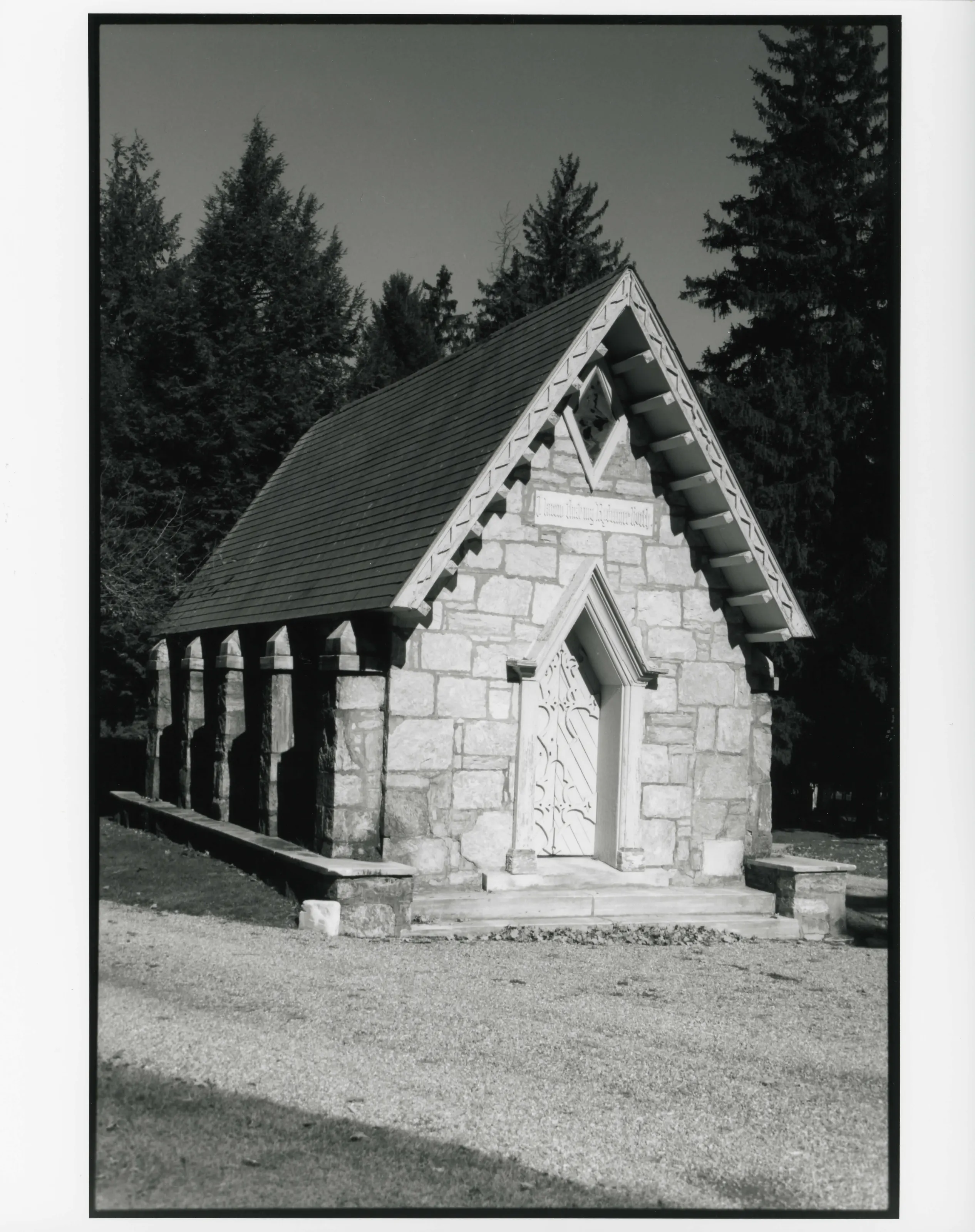
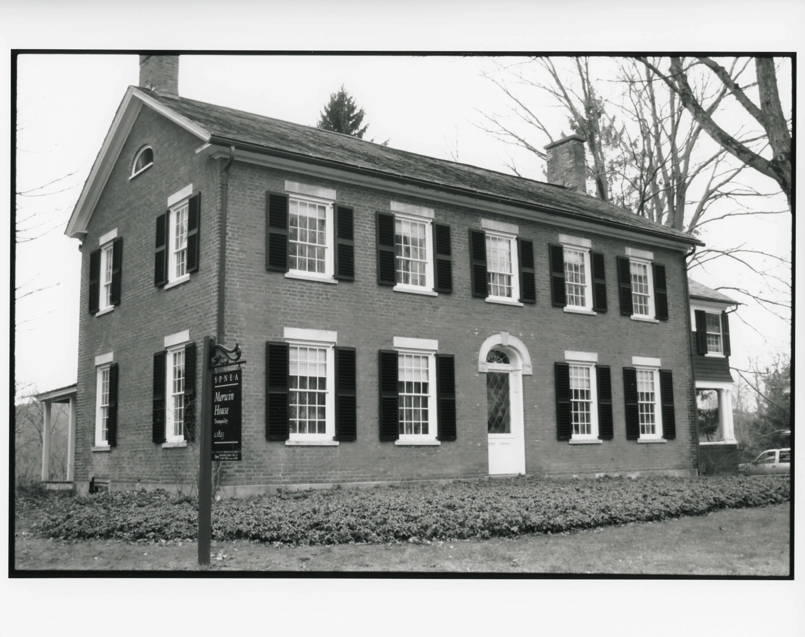
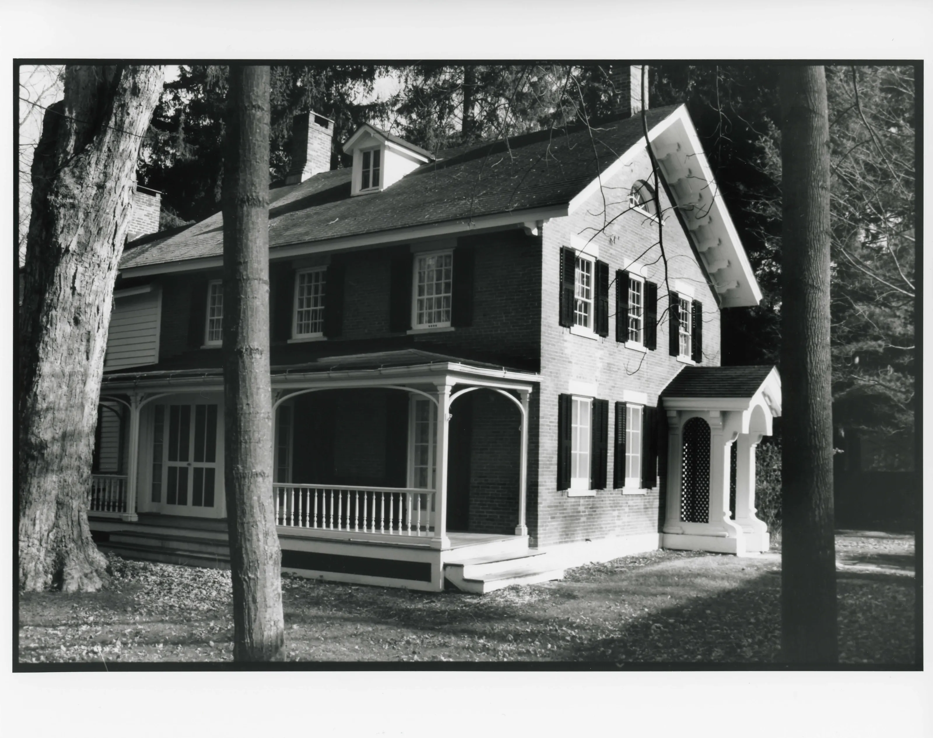
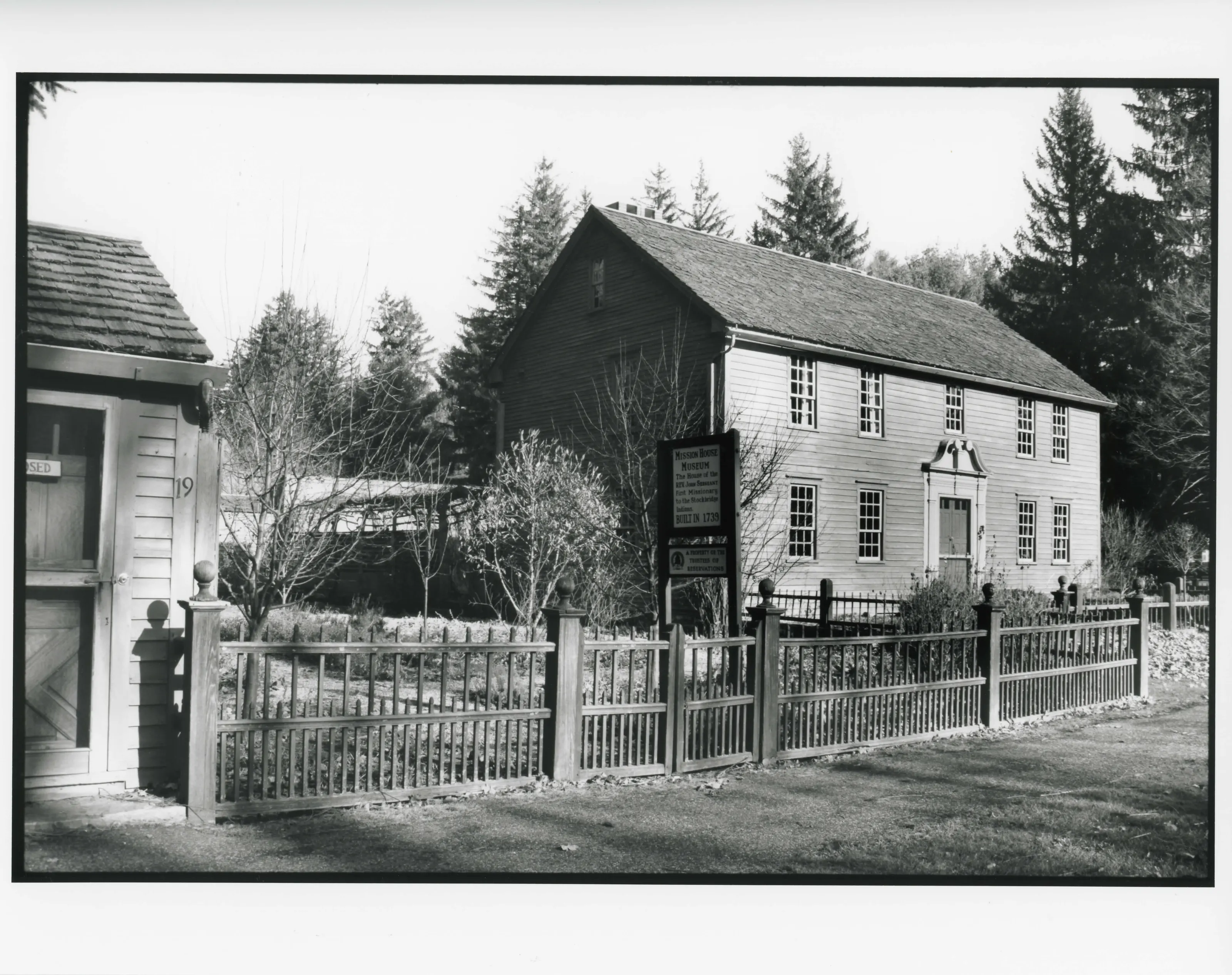
Stockbridge's main street district, listed under Criteria A and C as a reflection of the town's historical development. Architects named include Ralph Bigelow, Charles McKim and Harry E. Weeks.
- Architect / builder
- Ralph Bigelow; Charles McKim; Harry E. Weeks
- Significance and period
- Architecture; Community Planning and Development
“Among the houses, five are fashionable mansions built by prosperous lawyers and businesspeople in the decades following the Revolution.”
National Register nomination
Summary paraphrased from the nomination text; the form is linked below.
What the nomination says it is
Stockbridge is located on land the Mohicans called Wnahktakook, or Great Meadow, a widening in the Housatonic Valley bottom where the river meanders in elaborate loops across a level floodplain. Main Street, the straight central axis of Stockbridge's historic central village, lies on a level terrace north of the river, a place historically called "the Plain."
From the National Register nomination, 2002.
Why it is on the Register
The disfrict retains integrity of location, setting, materials, workmanship, feeluig, and association, fulfilling Criteria A and C at the local level. Criterion A. The disfrict reflects Stockbridge's historical development.
From the National Register nomination, 2002.
Quoted from the scanned form as the National Archives’ text layer reads it. Line breaks are joined; reading errors are left as they are.
Sources, rights and limits
- Listing facts. National Park Service, National Register of Historic Places spatial data, queried 6 November 2026: type, year listed, landmark status, map location. U.S. government work, public domain.
- Nomination text and areas of significance. National Archives catalog record 63794220, “Massachusetts SP Main Street Historic District”. National Register nomination forms are U.S. government records and public domain. The quoted text is the catalog’s text layer (machine reading of the scan, 2025-07-29), not a transcription.
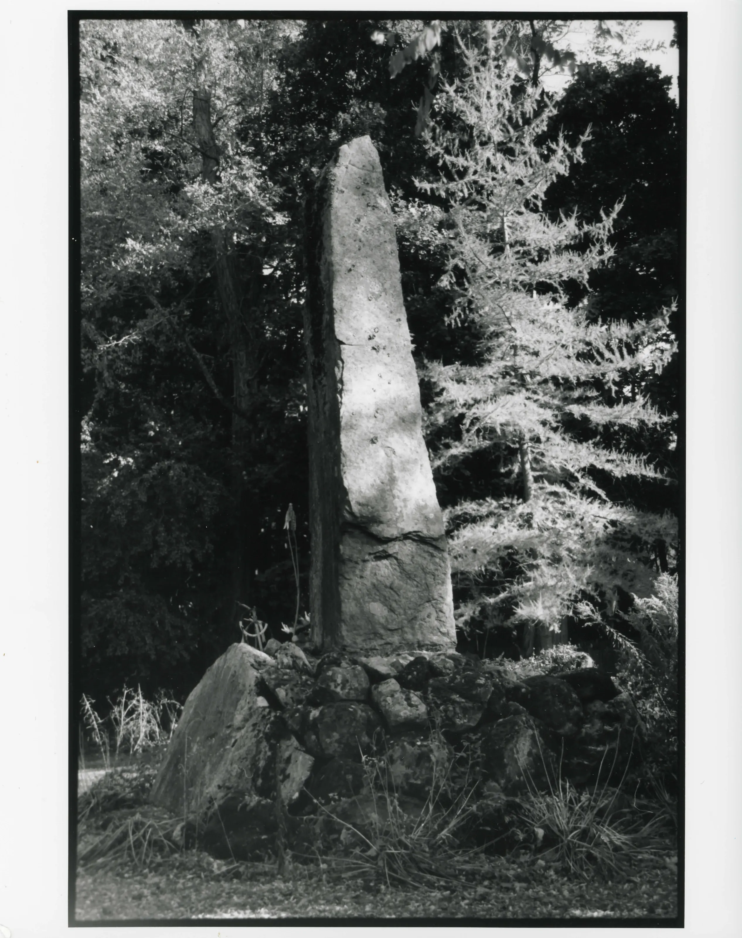
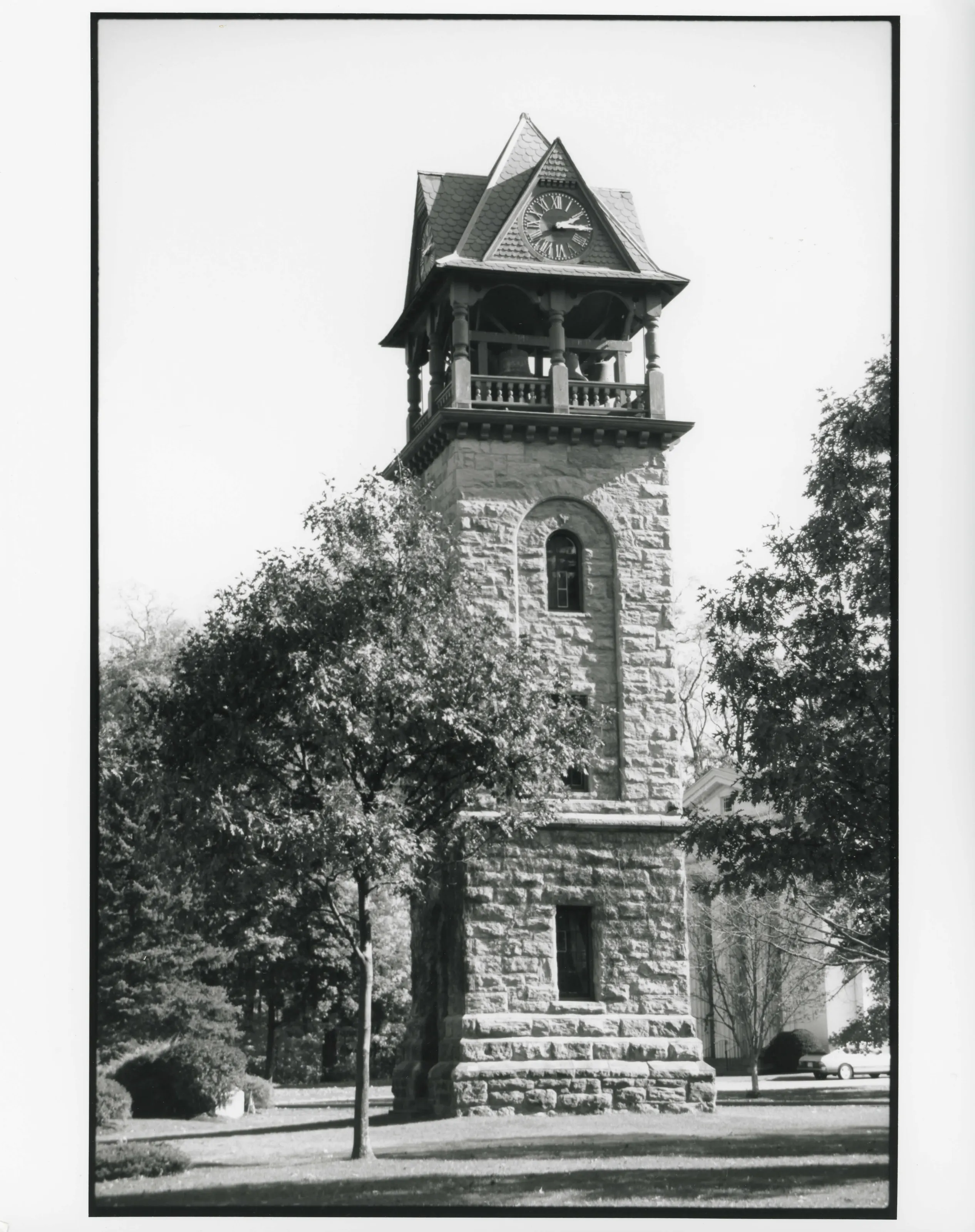
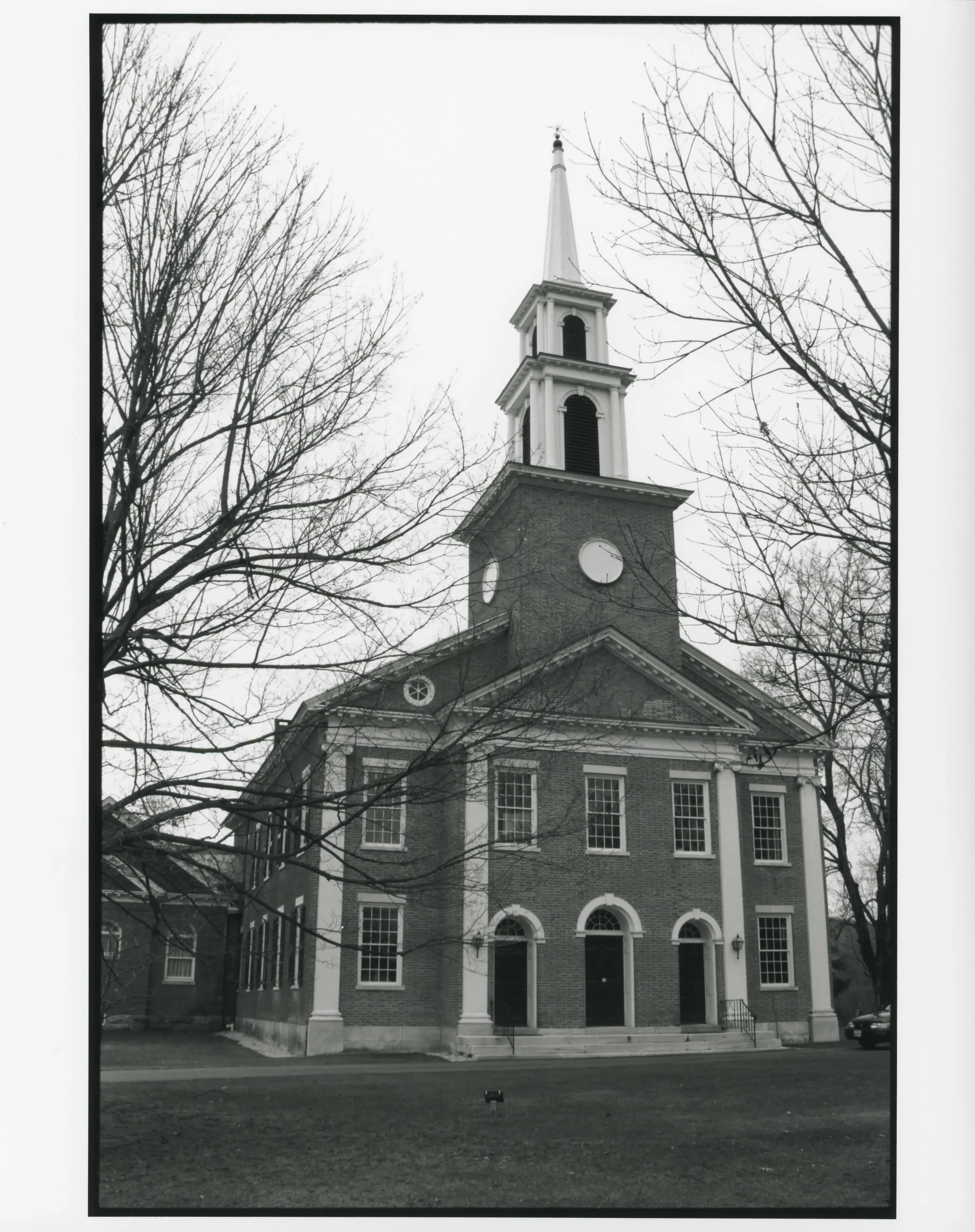
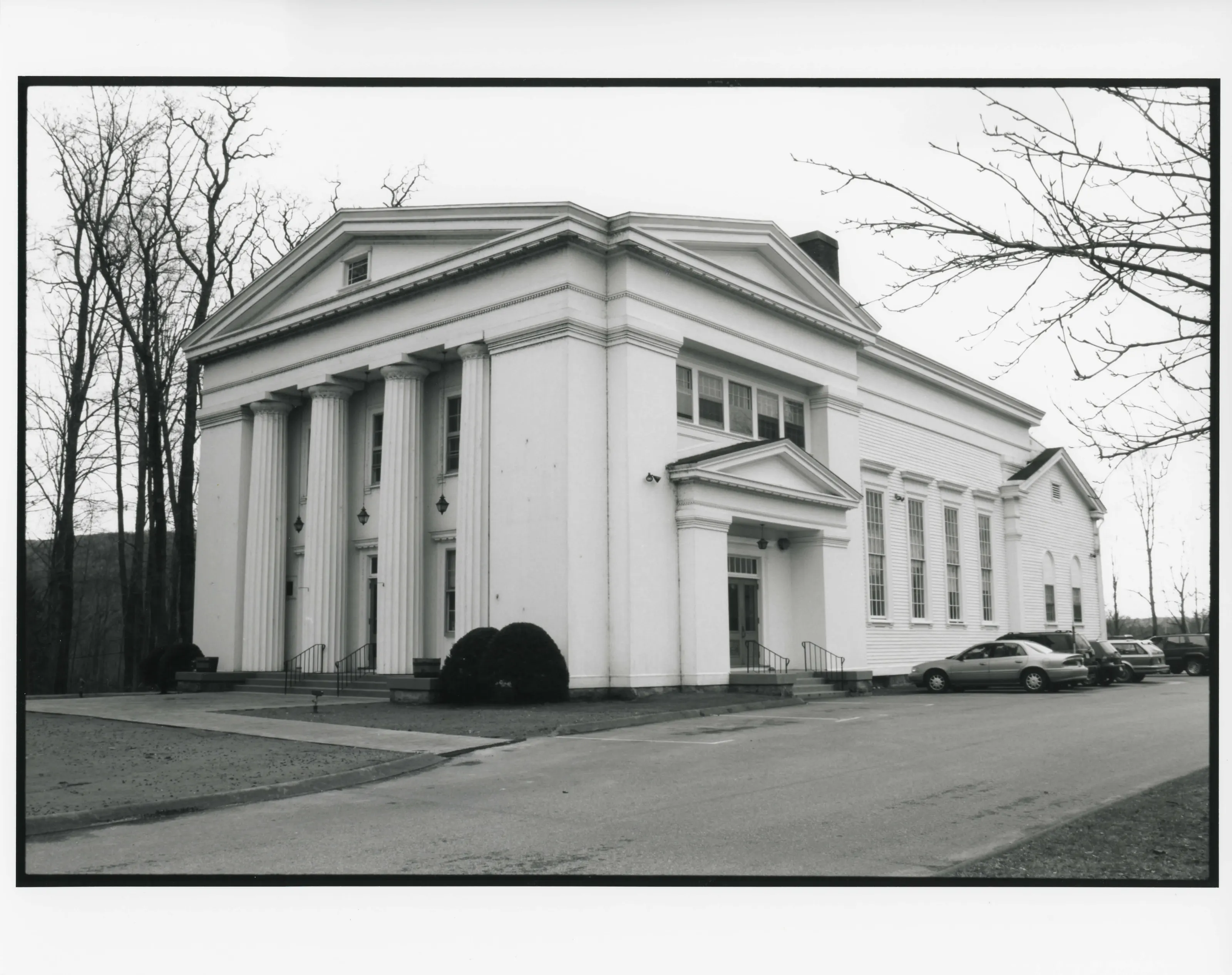
- Photographs. Photographs are reproduced from the nomination file at the National Archives with the photographer’s credit as typed on the print; rights may remain with the photographer. Write to hello@parcenomics.com to have one removed.
- Location line. Address as in the Park Service layer.
- Outline. Town boundary from the Commonwealth’s town layer, generalized. Not a survey.