Northampton · National Register
Northampton Downtown Historic District
Historic district · listed 1976
- Type
- Historic district
- Town
- Northampton
- Listed
- 1976
- Location
- Roughly bounded by Hampton, Pearl, Strong, Bedford, Elm, MA 66, and railroad tracks
- Areas of significance
- Architecture; Commerce; Religion; Theater
- Architectural classification
- Academic Revival; Renaissance Revival; Art Moderne; Art Deco; Richardsonian Romanesque; Victorian; Gothic Revival; Second Empire; Romanesque; Italianate; Queen Anne; Classical Revival
- Reference number
- 76000270
About this listing
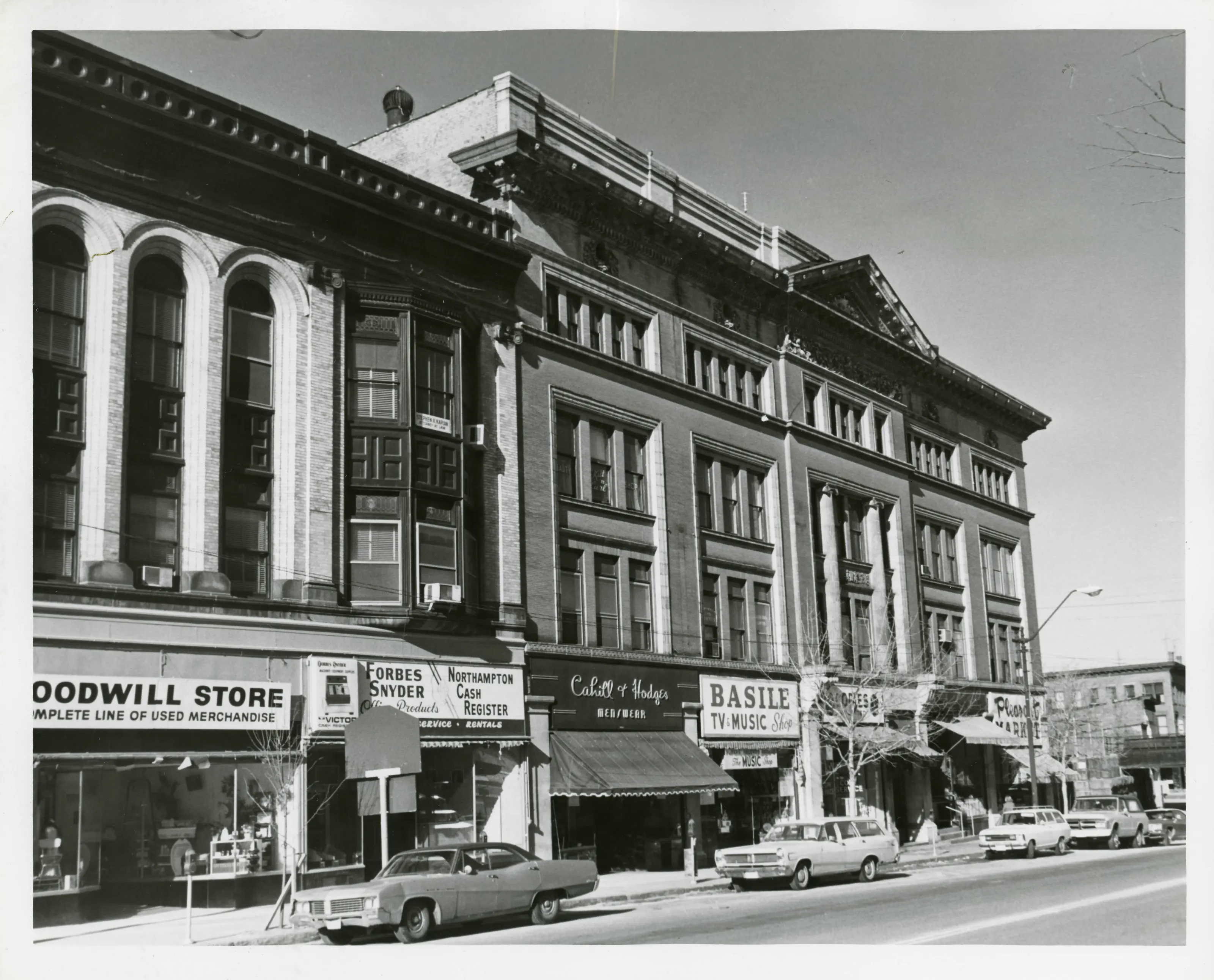
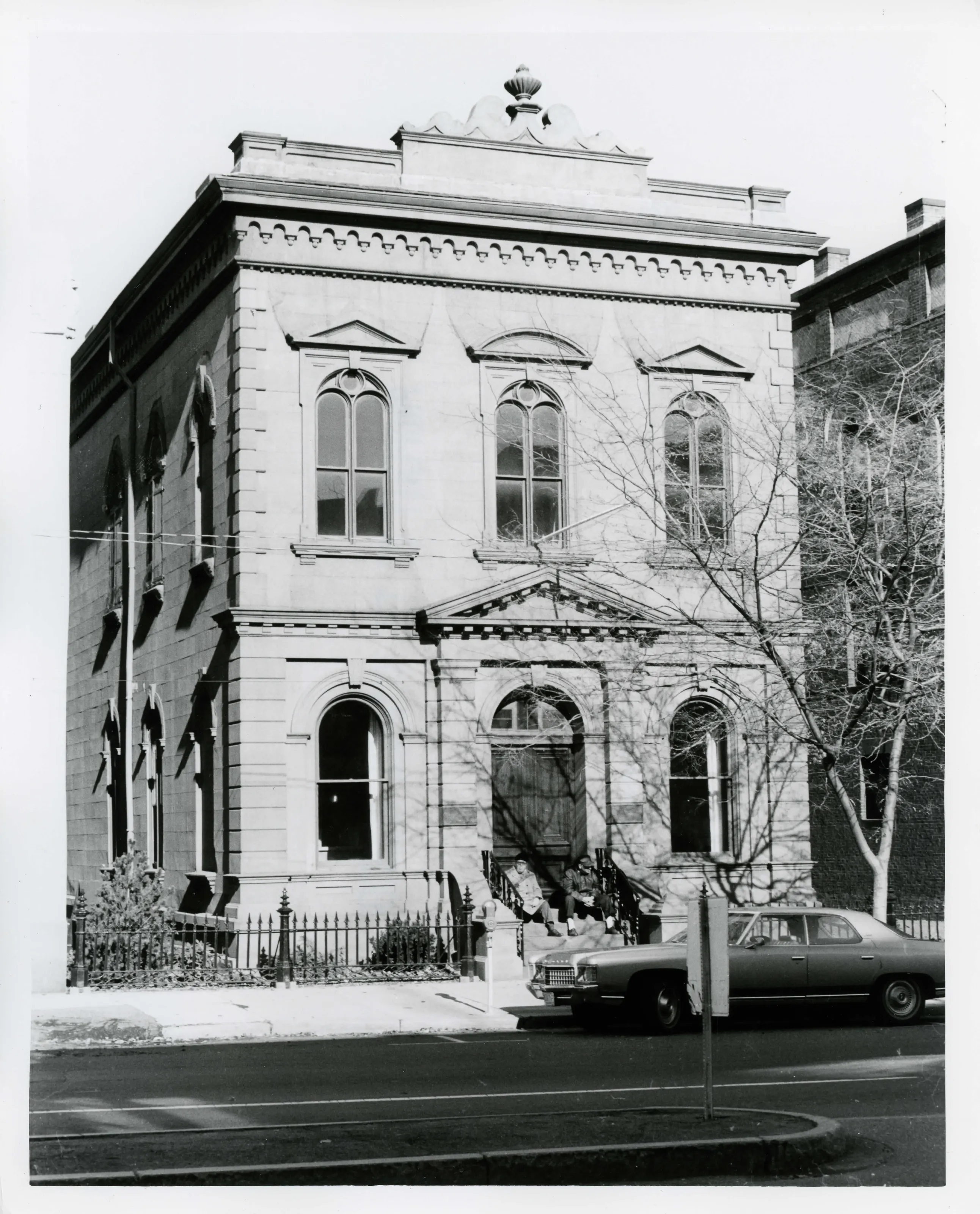
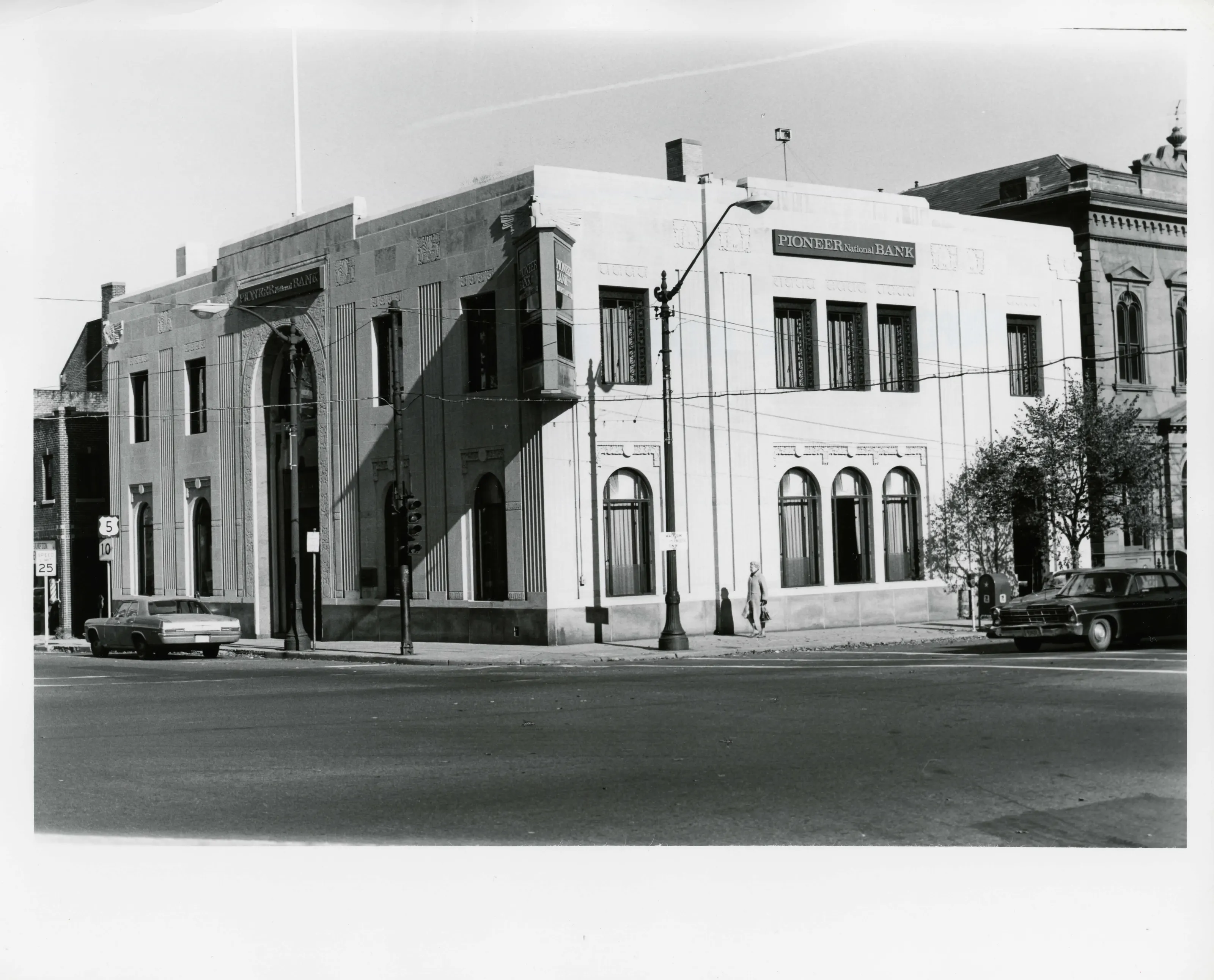
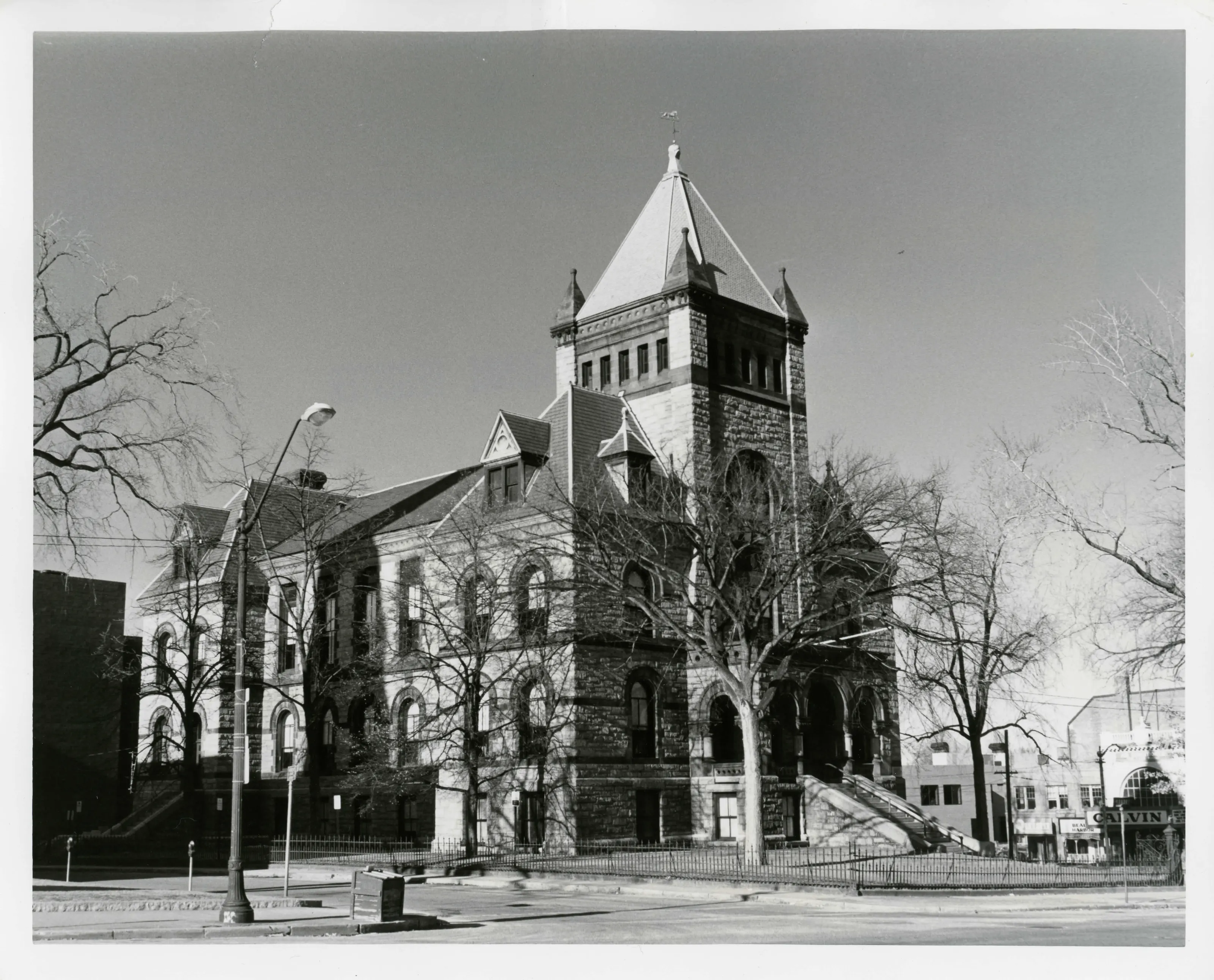
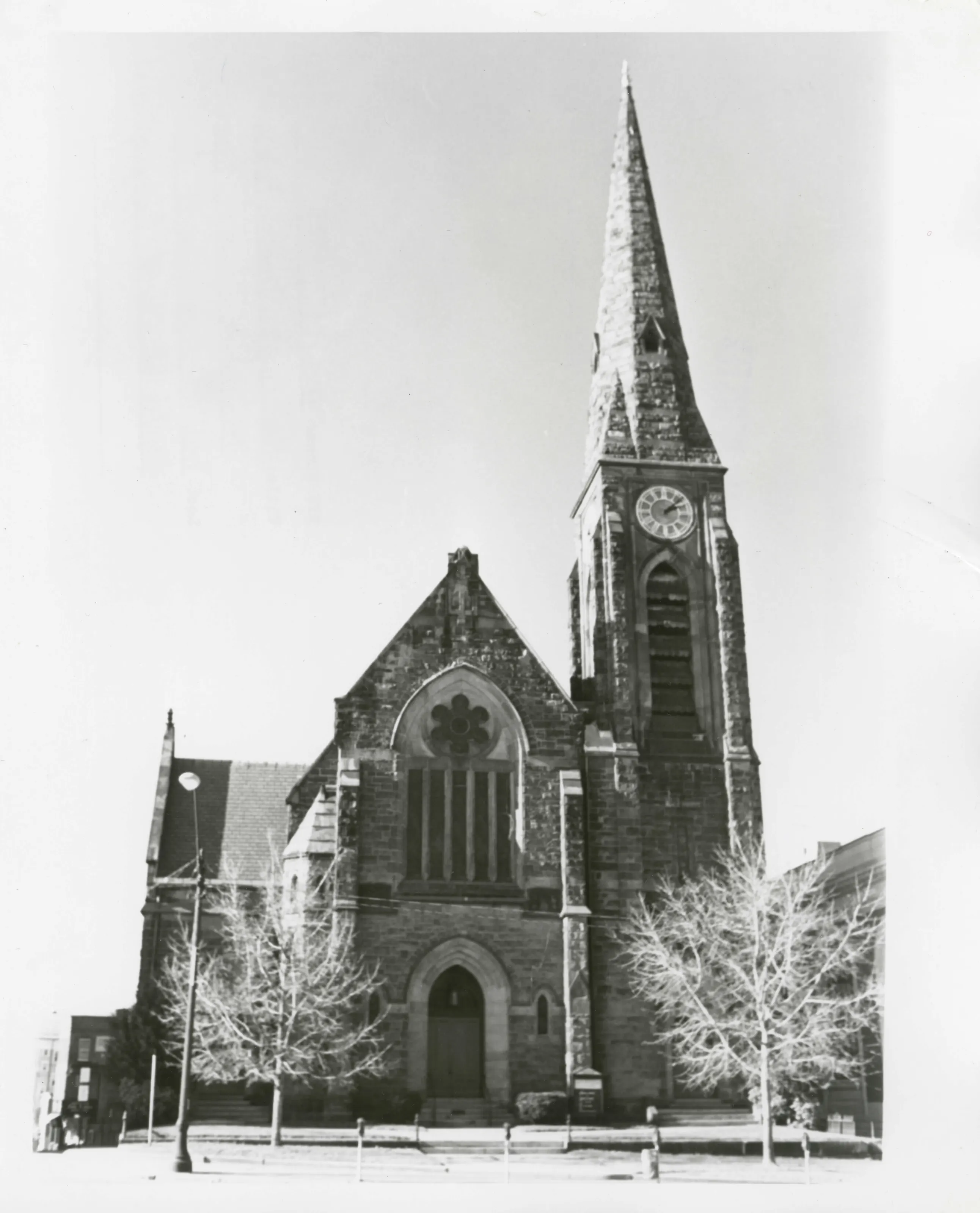
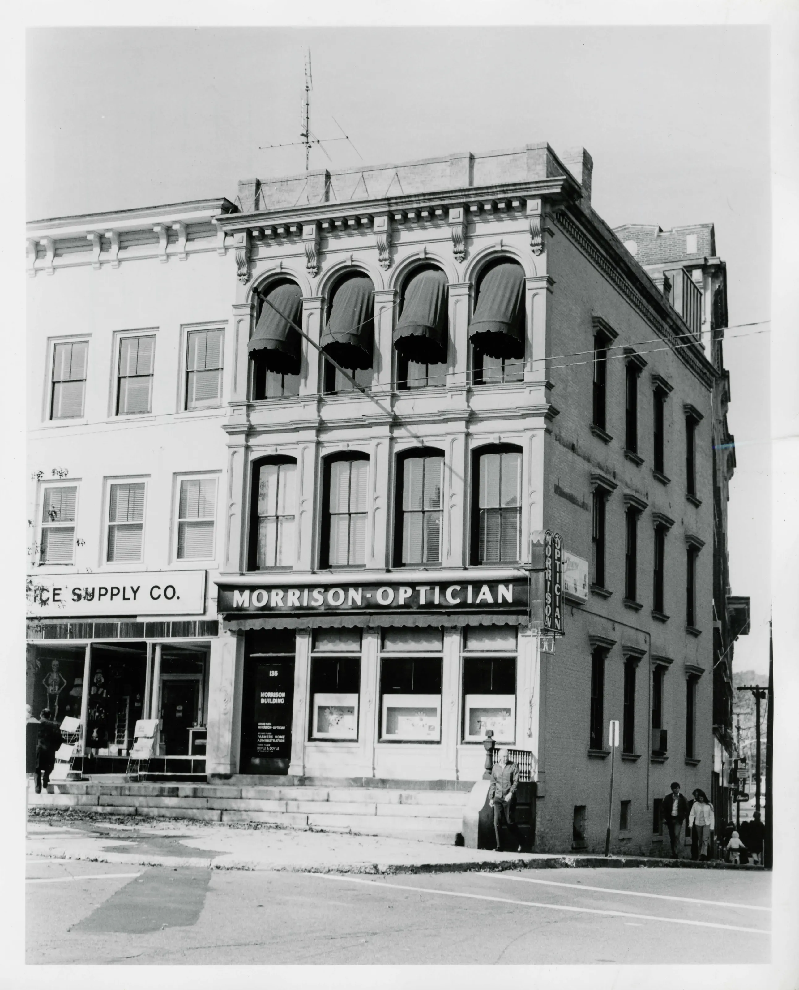
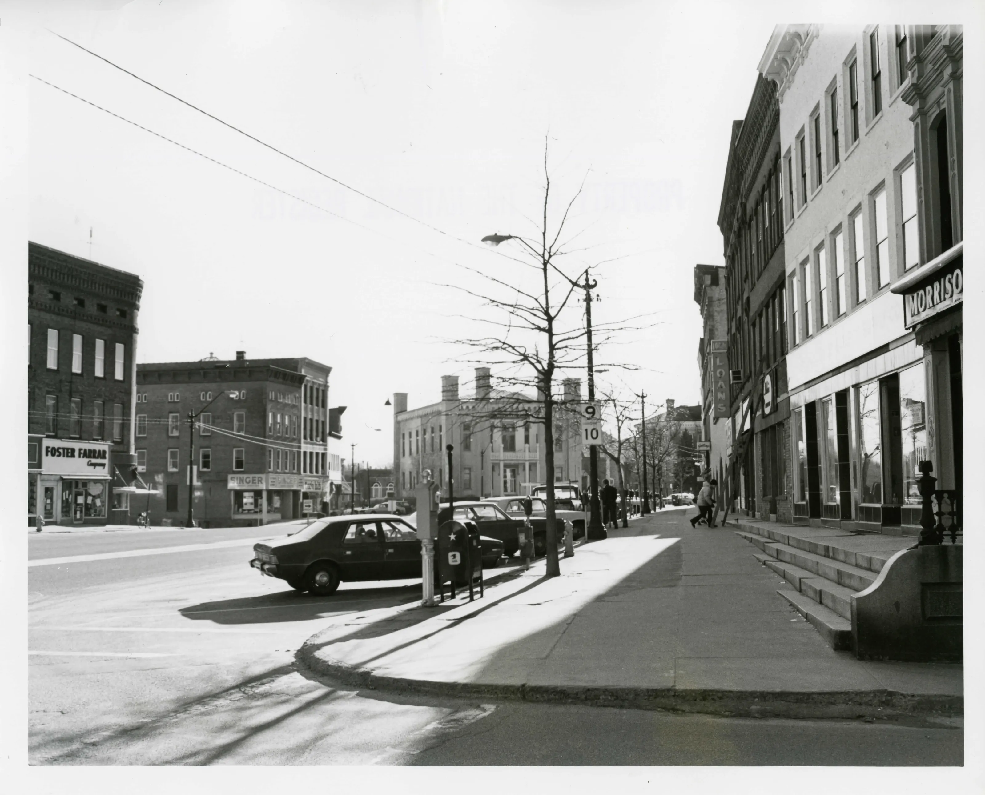
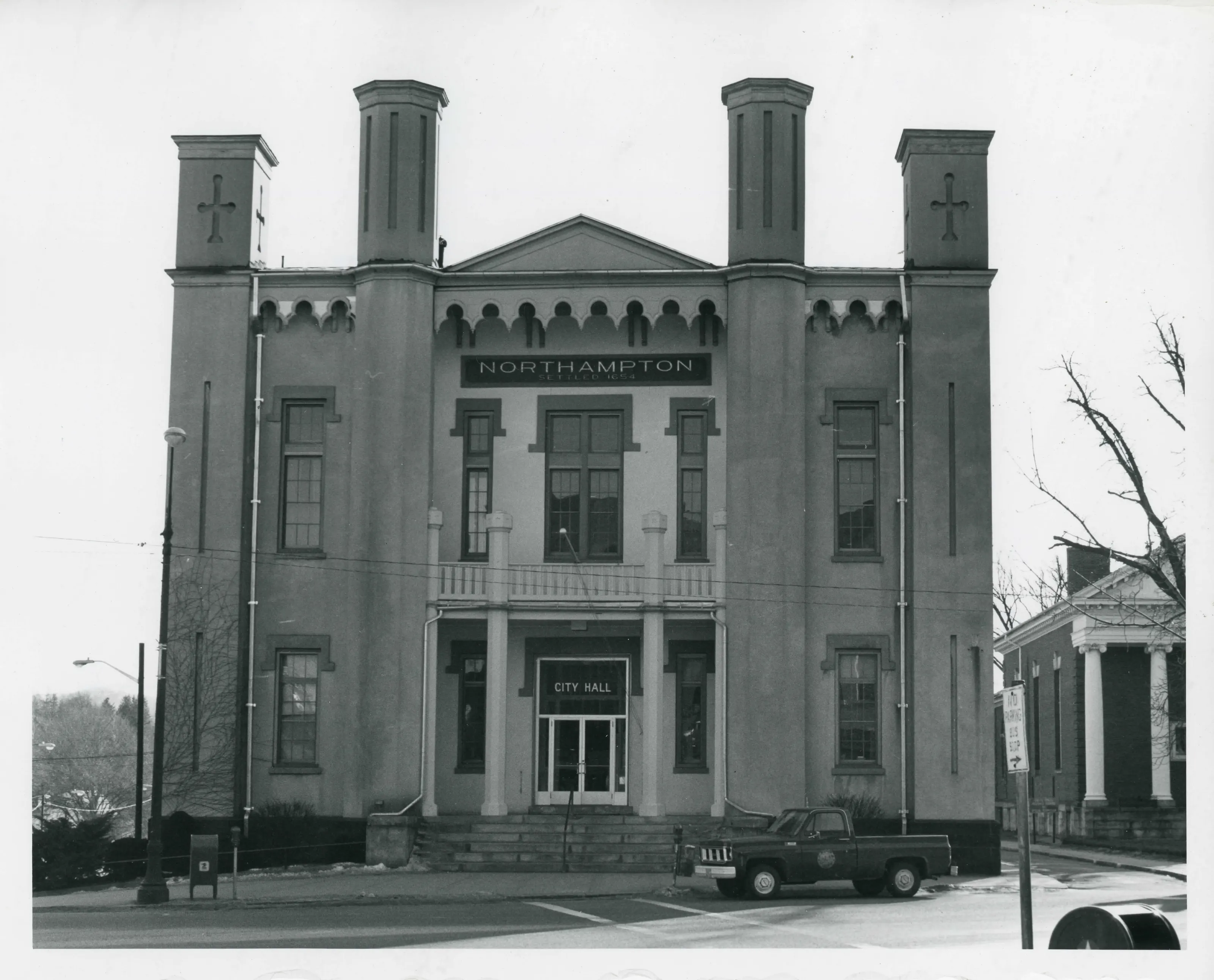
Downtown core of Northampton, 80.5 acres around Main Street and the county courthouse, settled in 1654. Brick commercial rows replaced wooden buildings lost to fires in the 1840s, 1850s and 1870. The district was listed as a village becoming a late-19th-century commercial center, with a wide range of Victorian styles.
- Architect / builder
- Isaac Damon (1822 meetinghouse, from Asher Benjamin designs)
- Style
- Victorian, various styles
- Significance and period
- Architecture; Commerce
- People named
- Isaac Damon; Sylvester Graham
The courthouse stands where Shays' Rebellion saw its first action in 1786. The form says the 1876 robbery of an iron-fronted bank building took $1,500,000, the largest theft in the country to that date.
“the embodiment of the transition of a small New England village of the early 19th century to a busy commercial center”
National Register nomination
Summary paraphrased from the nomination text; the form is linked below.
The scanned form’s text could not be separated into its description and significance sections reliably, so those two sections are not quoted here. The full form is linked below.
Nearby listings in Northampton
- Building at 8--22 Graves Avenue
- Clarke School for the Deaf Historic District
- Coolidge, Calvin, House
- Dorsey--Jones House
- Fort Hill Historic District
- Grove Hill Mansion
- Manse, The
- Miss Florence Diner
- Northampton Downtown Historic District (Boundary Increase)
- Northampton State Hospital
- Northampton Veterans Administration Hospital Historic District
- Parsons, Shepherd and Damon, Houses Historic District
- Pomeroy Terrace Historic District
- Ross Farm
- Smith Alumnae Gymnasium
Sources, rights and limits
- Listing facts. National Park Service, National Register of Historic Places spatial data, queried 6 November 2026: type, year listed, landmark status, map location. U.S. government work, public domain.
- Nomination text and areas of significance. National Archives catalog record 63795439, “Massachusetts SP Northampton Downtown Historic District”. National Register nomination forms are U.S. government records and public domain. The quoted text is the catalog’s text layer (machine reading of the scan, 2024-04-06), not a transcription.
- Photographs. Photographs are reproduced from the nomination file at the National Archives with the photographer’s credit as typed on the print; rights may remain with the photographer. Write to hello@parcenomics.com to have one removed.
- Location line. Address as in the Park Service layer.
- Outline. Town boundary from the Commonwealth’s town layer, generalized. Not a survey.