Northampton · National Register
Northampton Downtown Historic District (Boundary Increase)
Historic district · listed 1985
- Type
- Historic district
- Town
- Northampton
- Listed
- 1985
- Location
- East of RR Tracks including 2--10 Bridge and 1--30 Market Sts.
- Areas of significance
- Commerce; Transportation; Architecture
- Architectural classification
- Colonial; Classical Revival; Victorian Gothic
- Reference number
- 85001464
About this listing
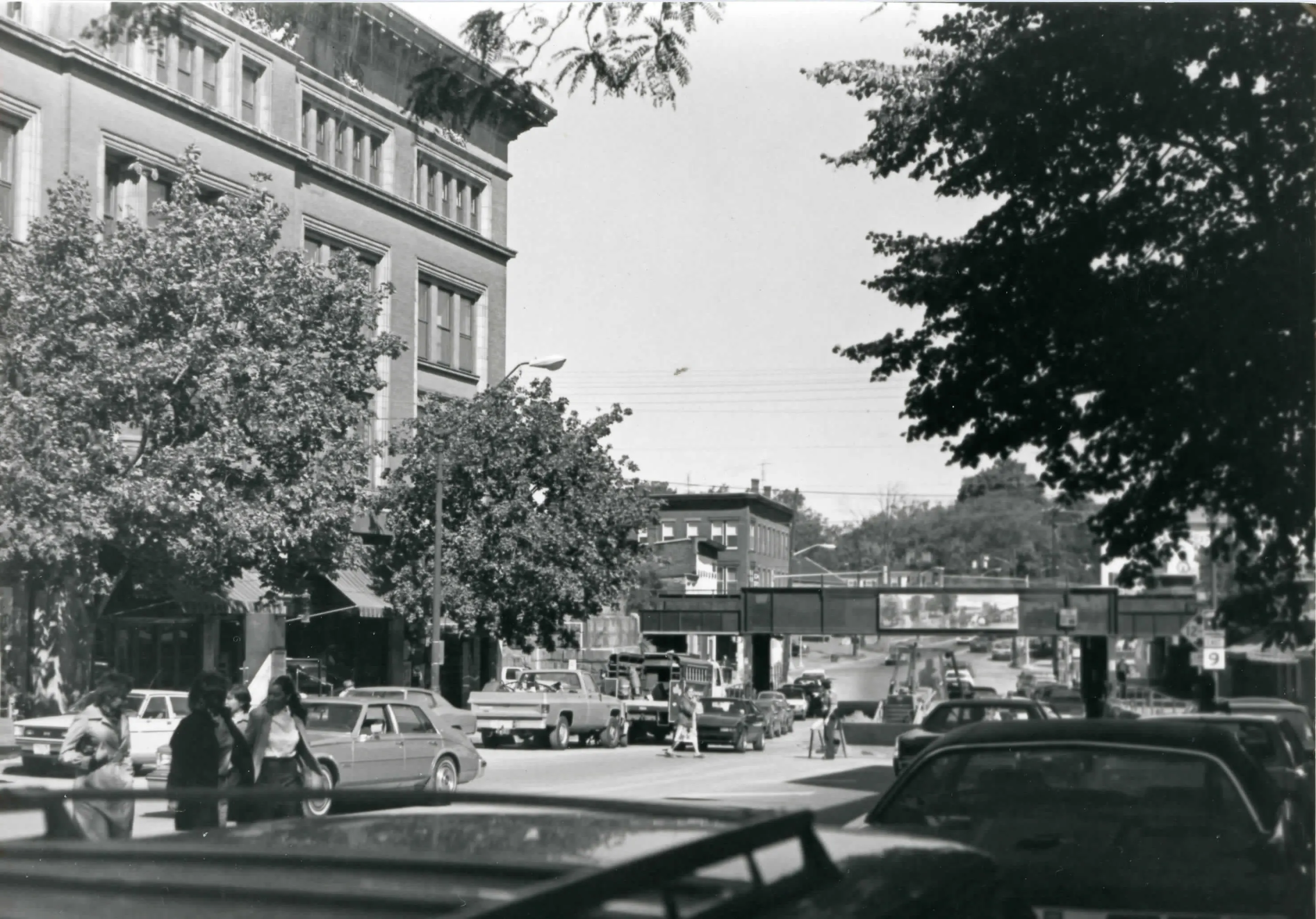
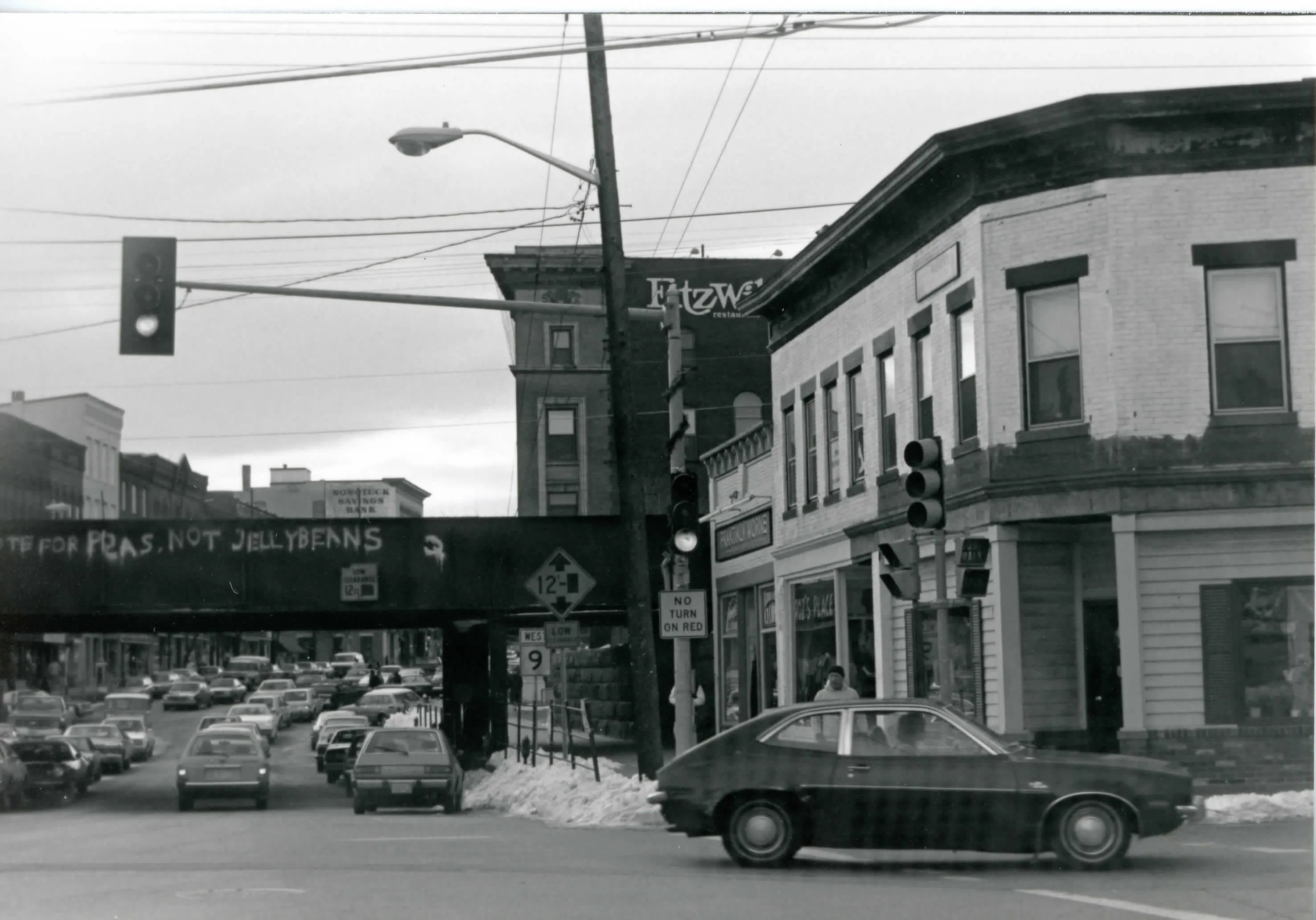
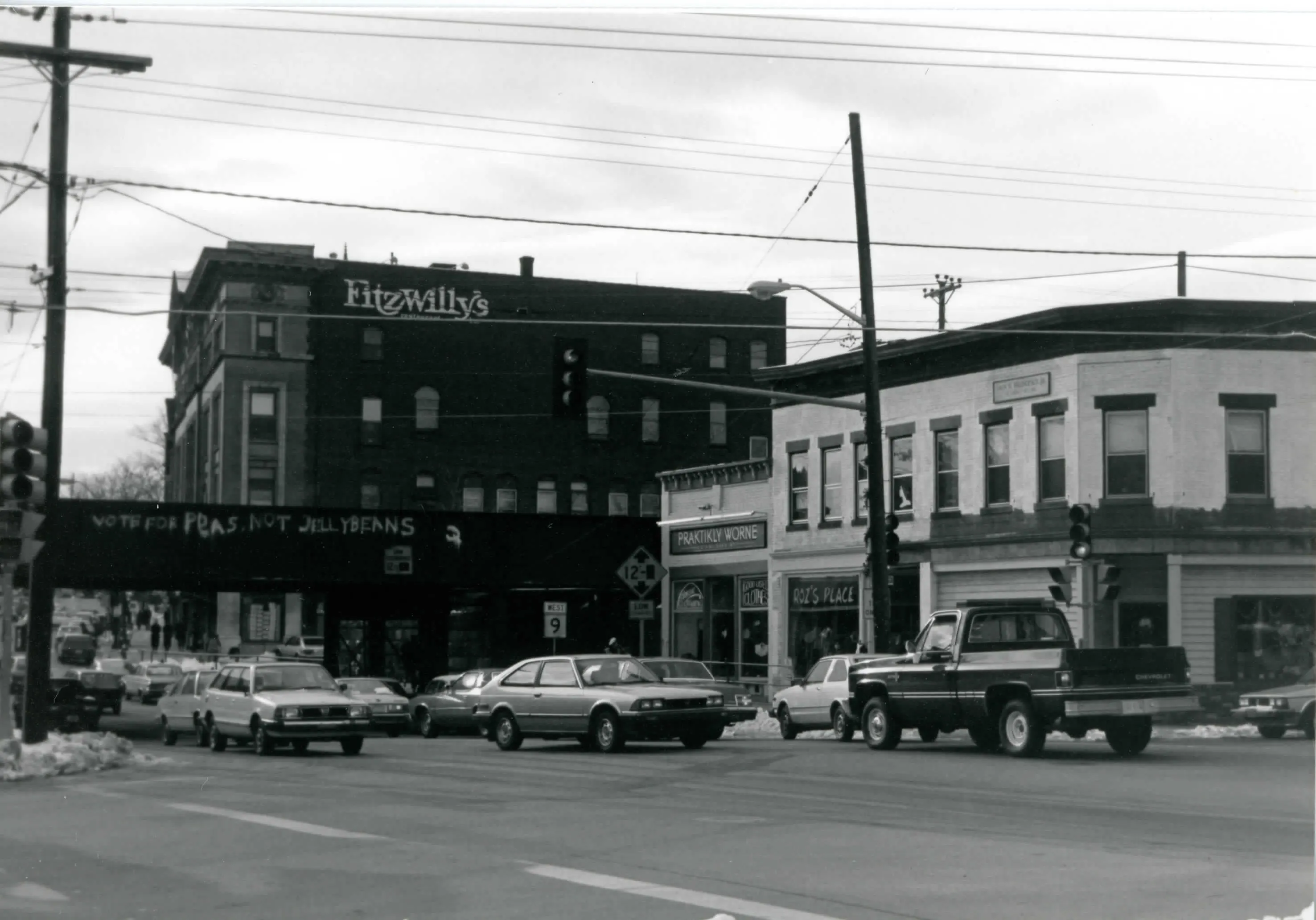
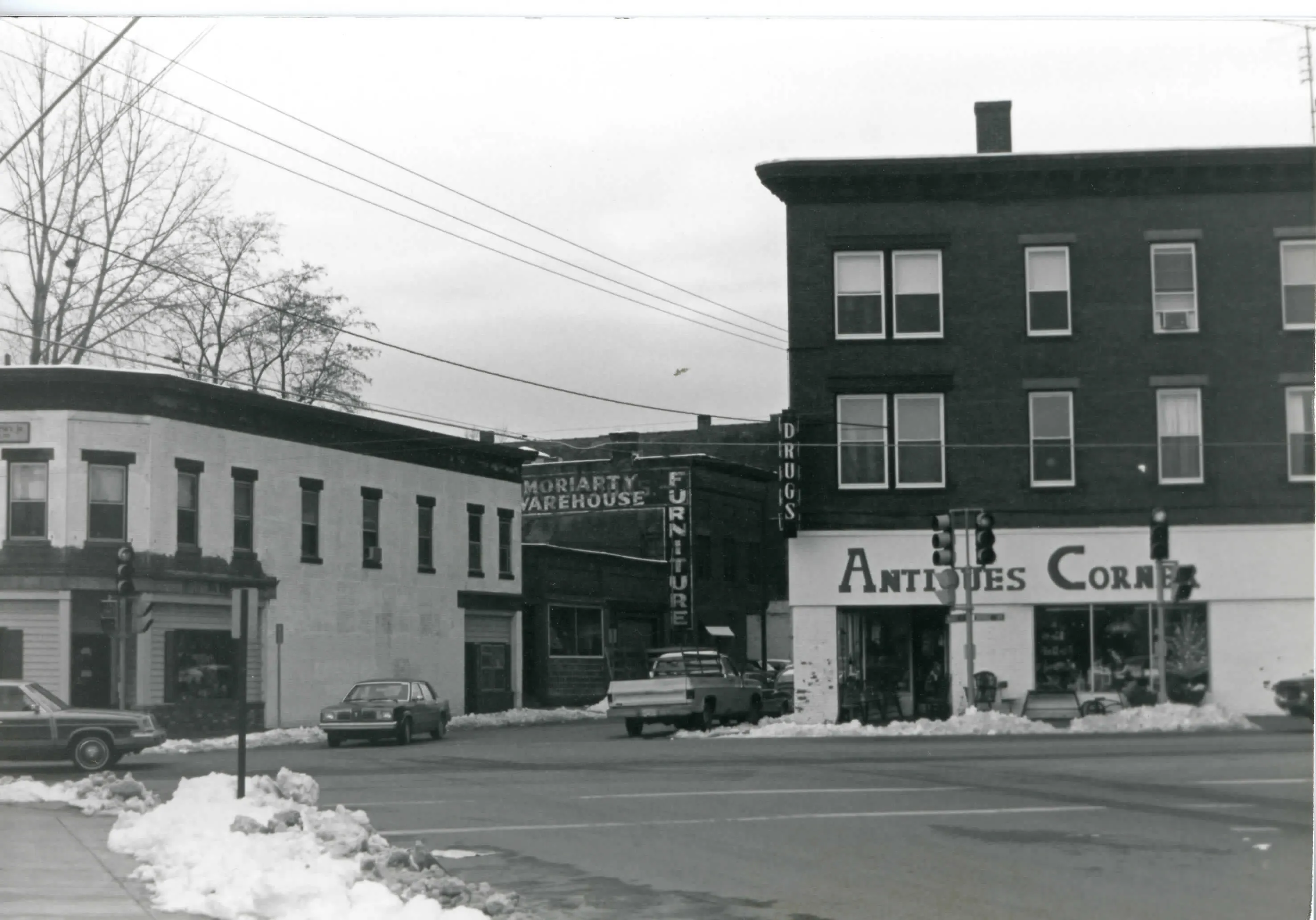
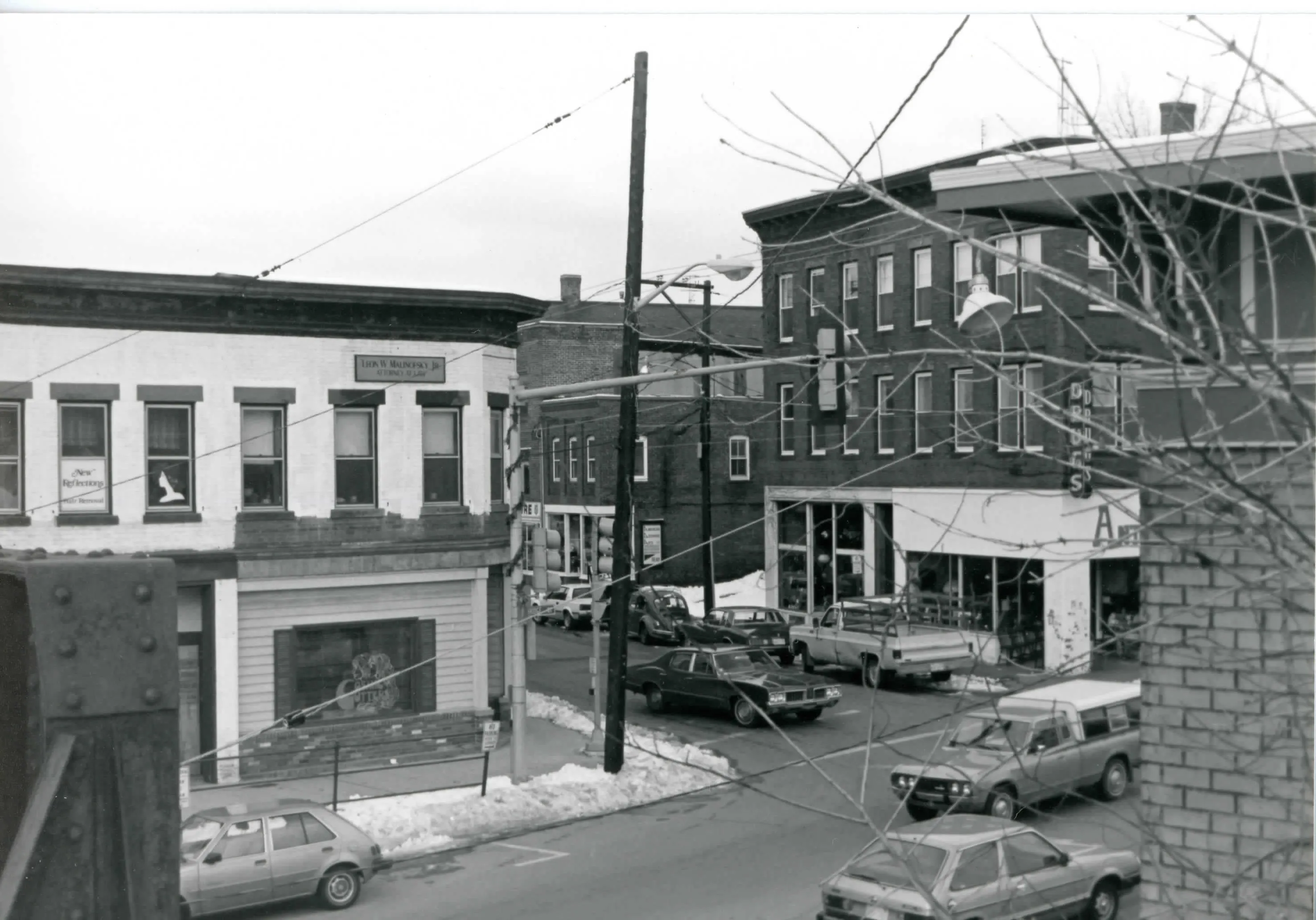
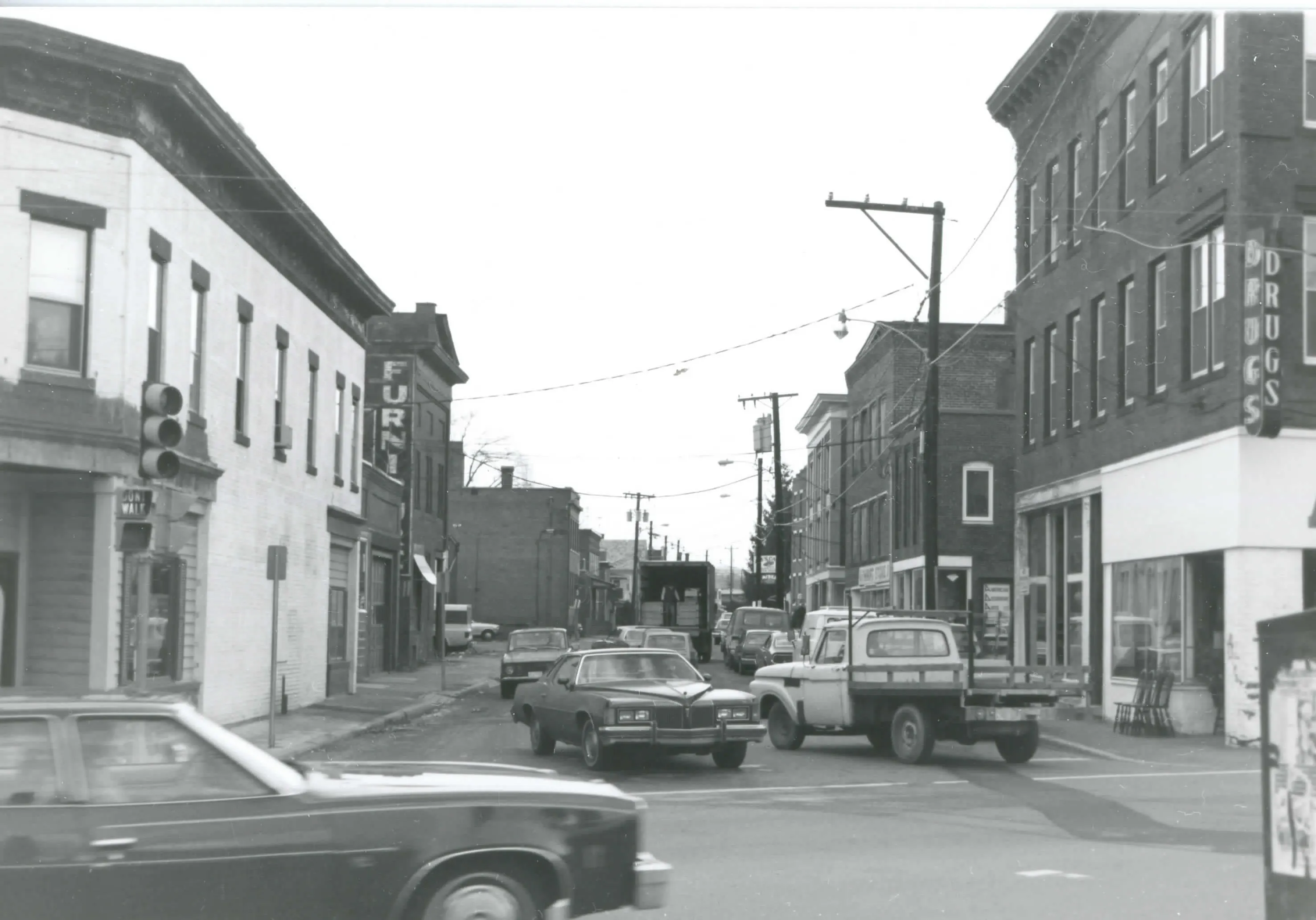
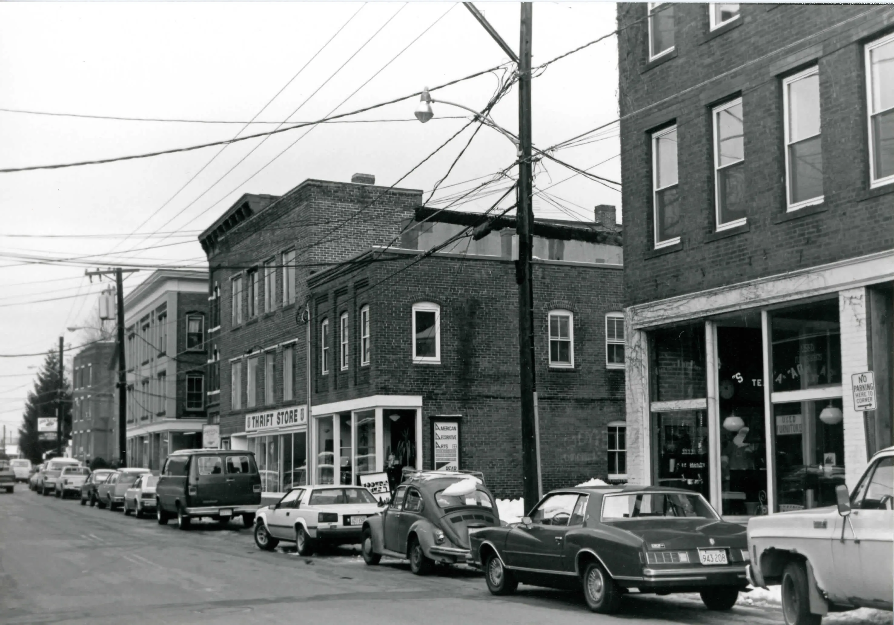
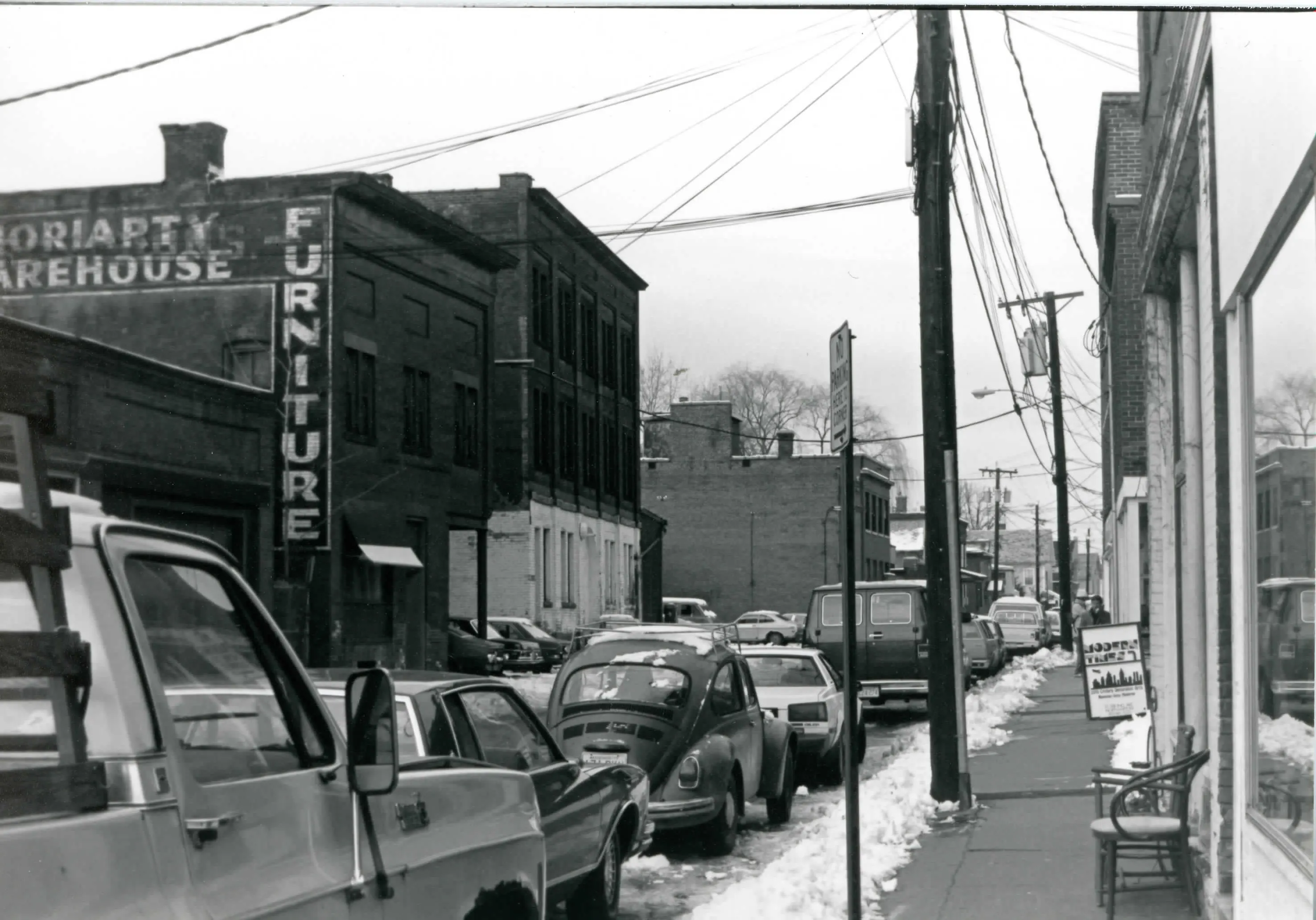
Boundary increase to the Northampton Downtown Historic District, adding the Market Street area at its northeast corner beside the raised railroad tracks. It holds thirteen commercial and warehouse buildings from 1886 to 1915, most one to three stories, and one house of about 1700.
- Built
- 1886-1915 (and one building of about 1700)
- Style
- Late 19th and early 20th century commercial; 18th-century vernacular Colonial (one house)
- Significance and period
- Commerce; Architecture
The one earlier building is half of a house built on the original Williams homestead and thought to be among the oldest homes in Northampton. It is now heavily altered.
“The Market Street area reflects the historic support function of the side streets of the Downtown District”
National Register nomination
Summary paraphrased from the nomination text; the form is linked below.
The scanned form’s text could not be separated into its description and significance sections reliably, so those two sections are not quoted here. The full form is linked below.
Nearby listings in Northampton
- Building at 8--22 Graves Avenue
- Clarke School for the Deaf Historic District
- Coolidge, Calvin, House
- Dorsey--Jones House
- Fort Hill Historic District
- Grove Hill Mansion
- Manse, The
- Miss Florence Diner
- Northampton Downtown Historic District
- Northampton State Hospital
- Northampton Veterans Administration Hospital Historic District
- Parsons, Shepherd and Damon, Houses Historic District
- Pomeroy Terrace Historic District
- Ross Farm
- Smith Alumnae Gymnasium
Sources, rights and limits
- Listing facts. National Park Service, National Register of Historic Places spatial data, queried 6 November 2026: type, year listed, landmark status, map location. U.S. government work, public domain.
- Nomination text and areas of significance. National Archives catalog record 63795487, “Massachusetts SP Northampton Downtown Historic District (Boundary Increase)”. National Register nomination forms are U.S. government records and public domain. The quoted text is the catalog’s text layer (machine reading of the scan, 2025-07-29), not a transcription.
- Photographs. Photographs are reproduced from the nomination file at the National Archives with the photographer’s credit as typed on the print; rights may remain with the photographer. Write to hello@parcenomics.com to have one removed.
- Location line. Address as in the Park Service layer.
- Outline. Town boundary from the Commonwealth’s town layer, generalized. Not a survey.