Pittsfield · National Register
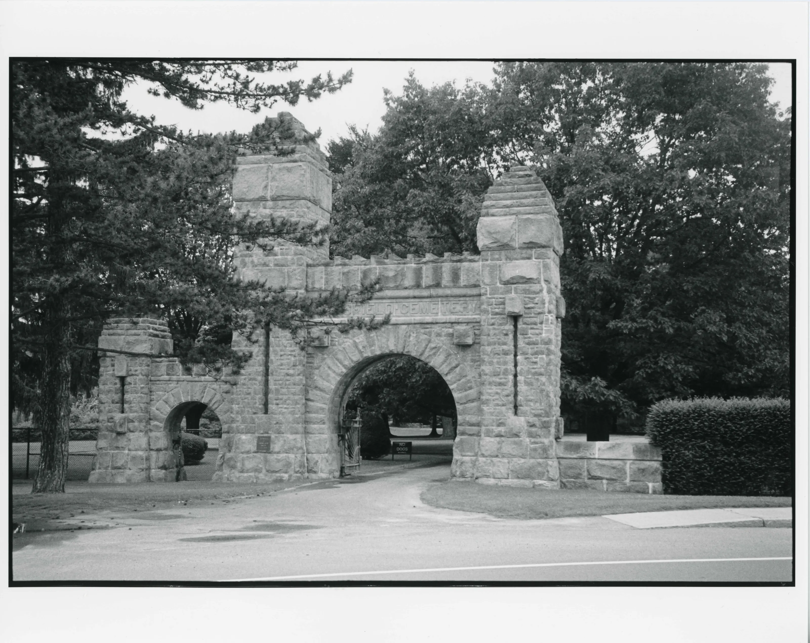
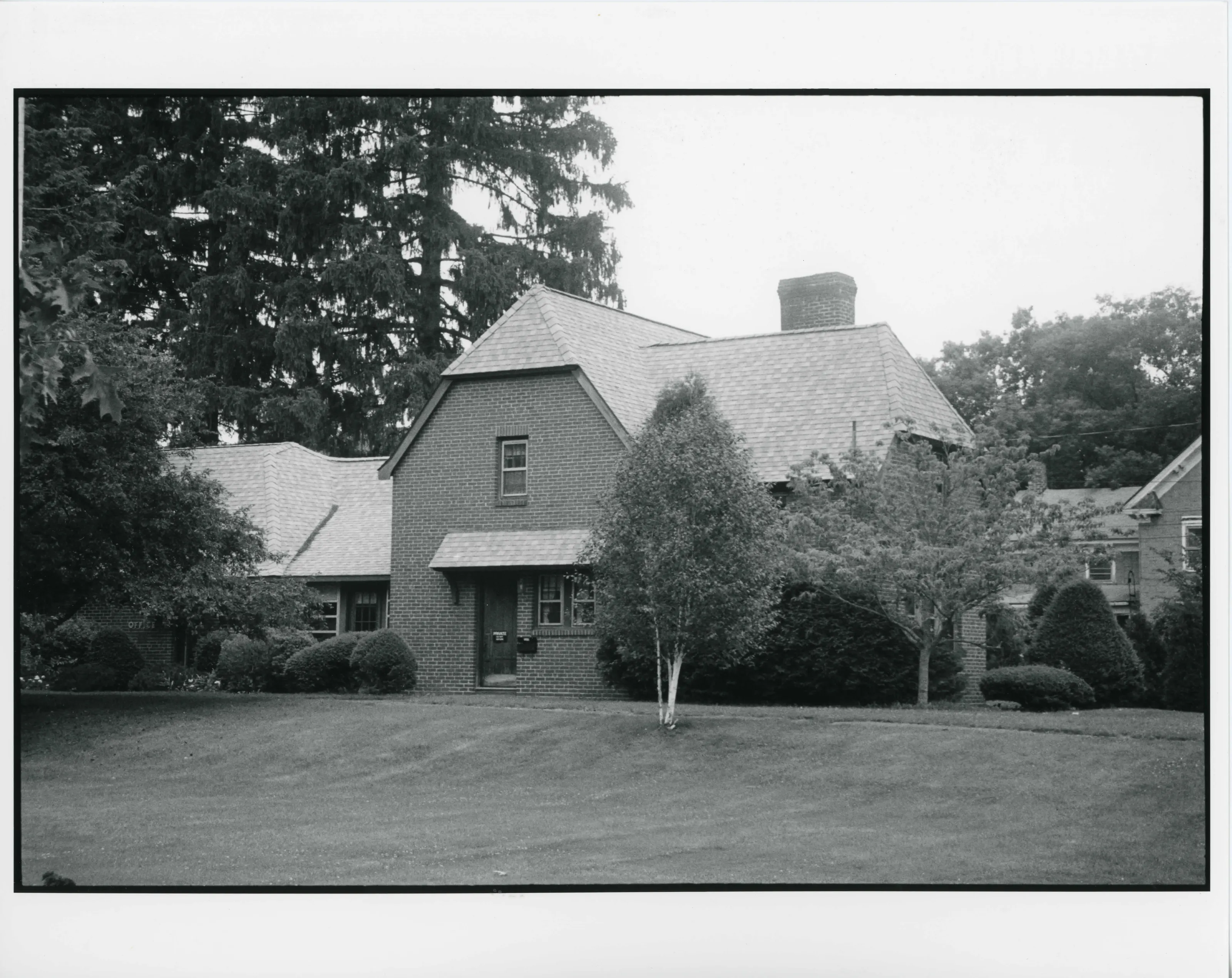
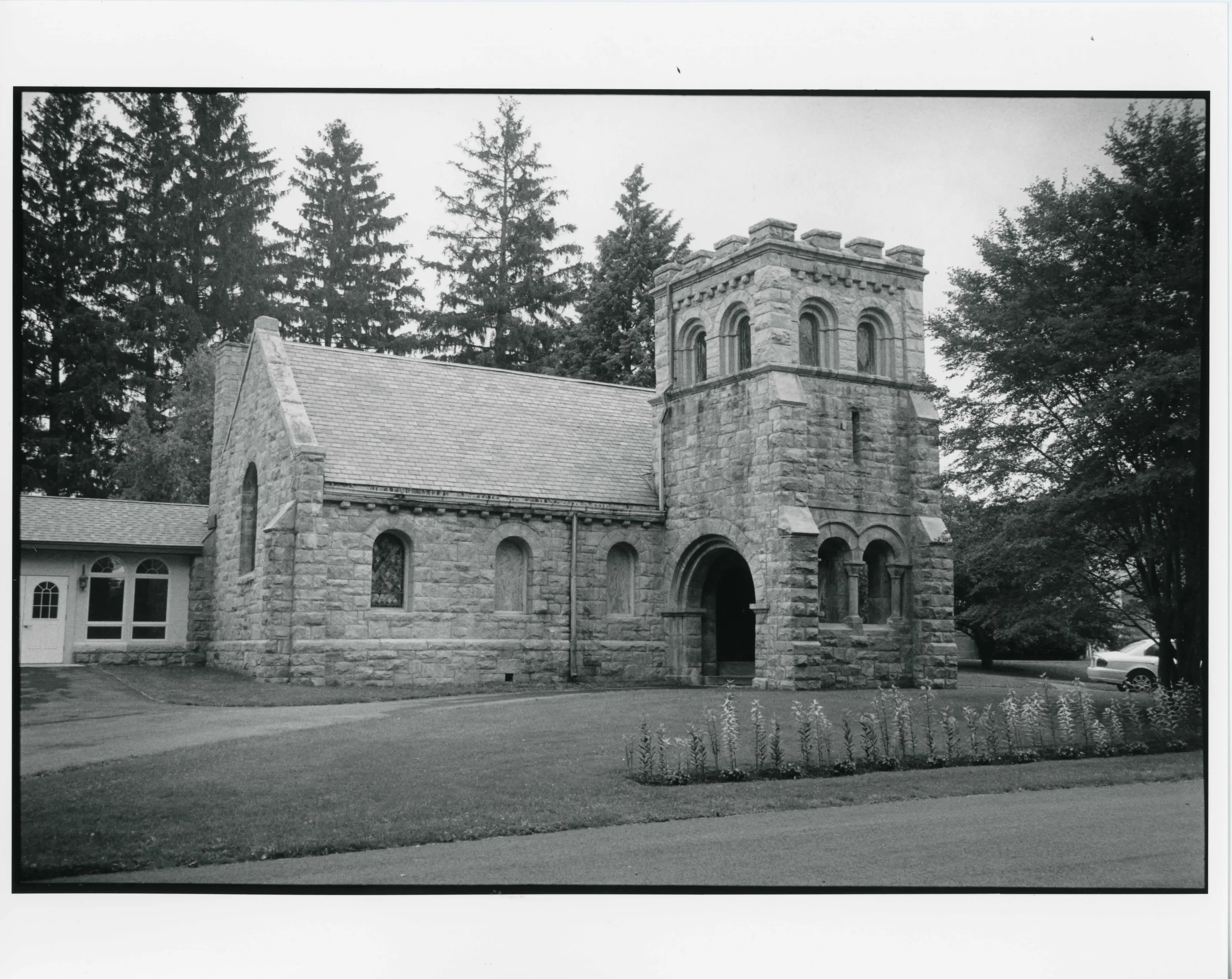
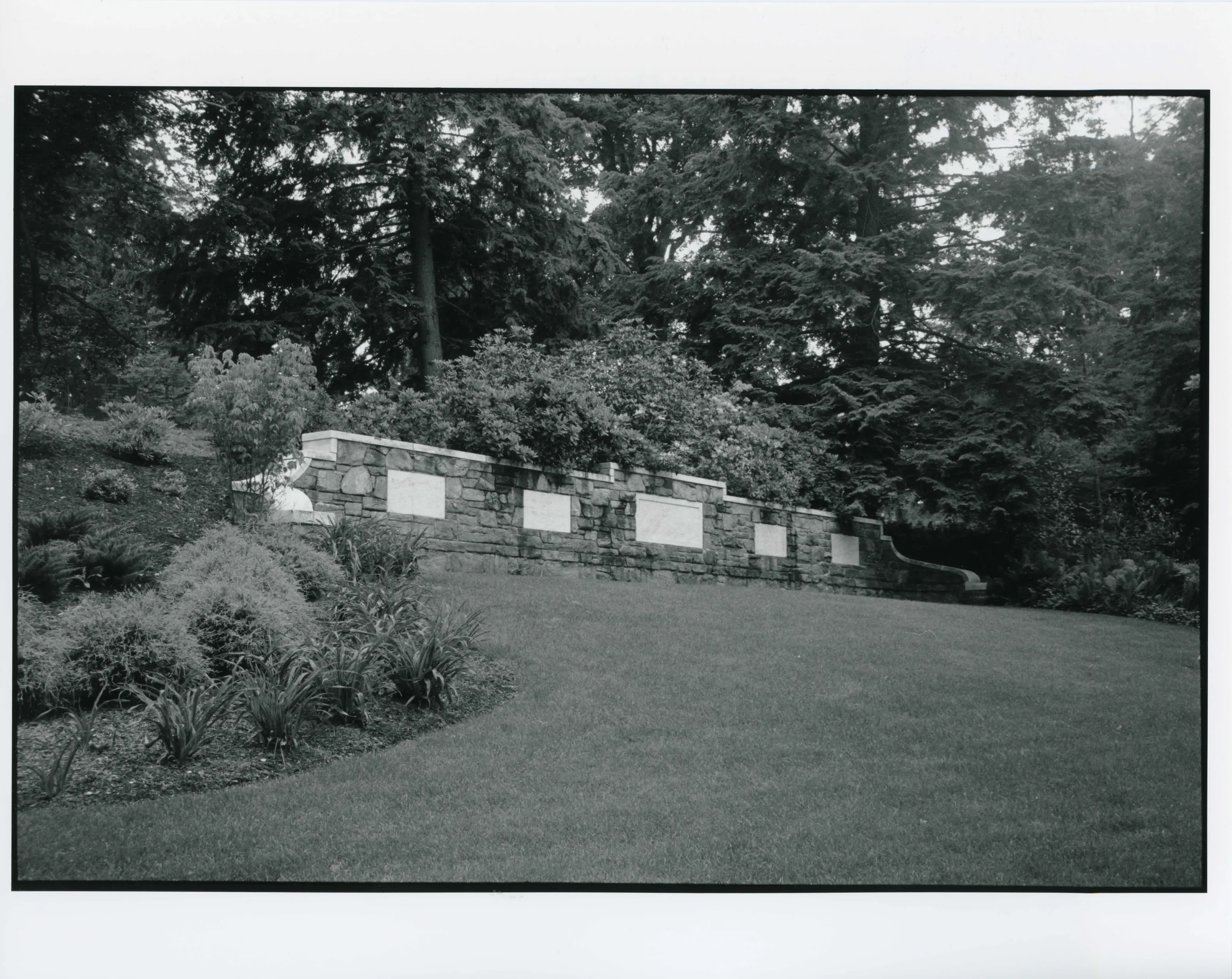
Pittsfield Cemetery
Site · listed 2007
- Type
- Site
- Town
- Pittsfield
- Listed
- 2007
- Location
- 203 Wahconah St.
- Areas of significance
- Architecture; Community Planning; Landscape Architecture
- Reference number
- 07000145
About this listing
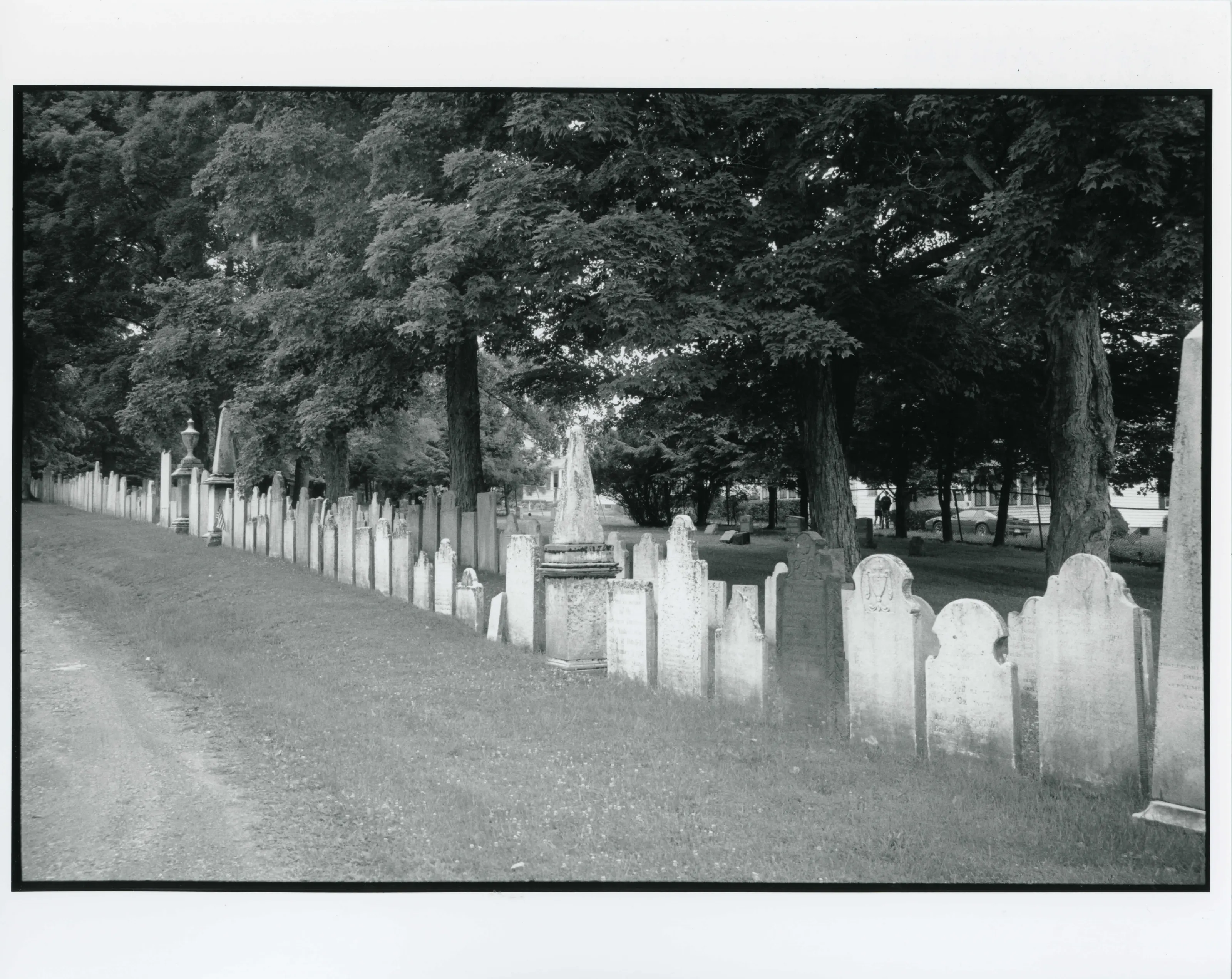
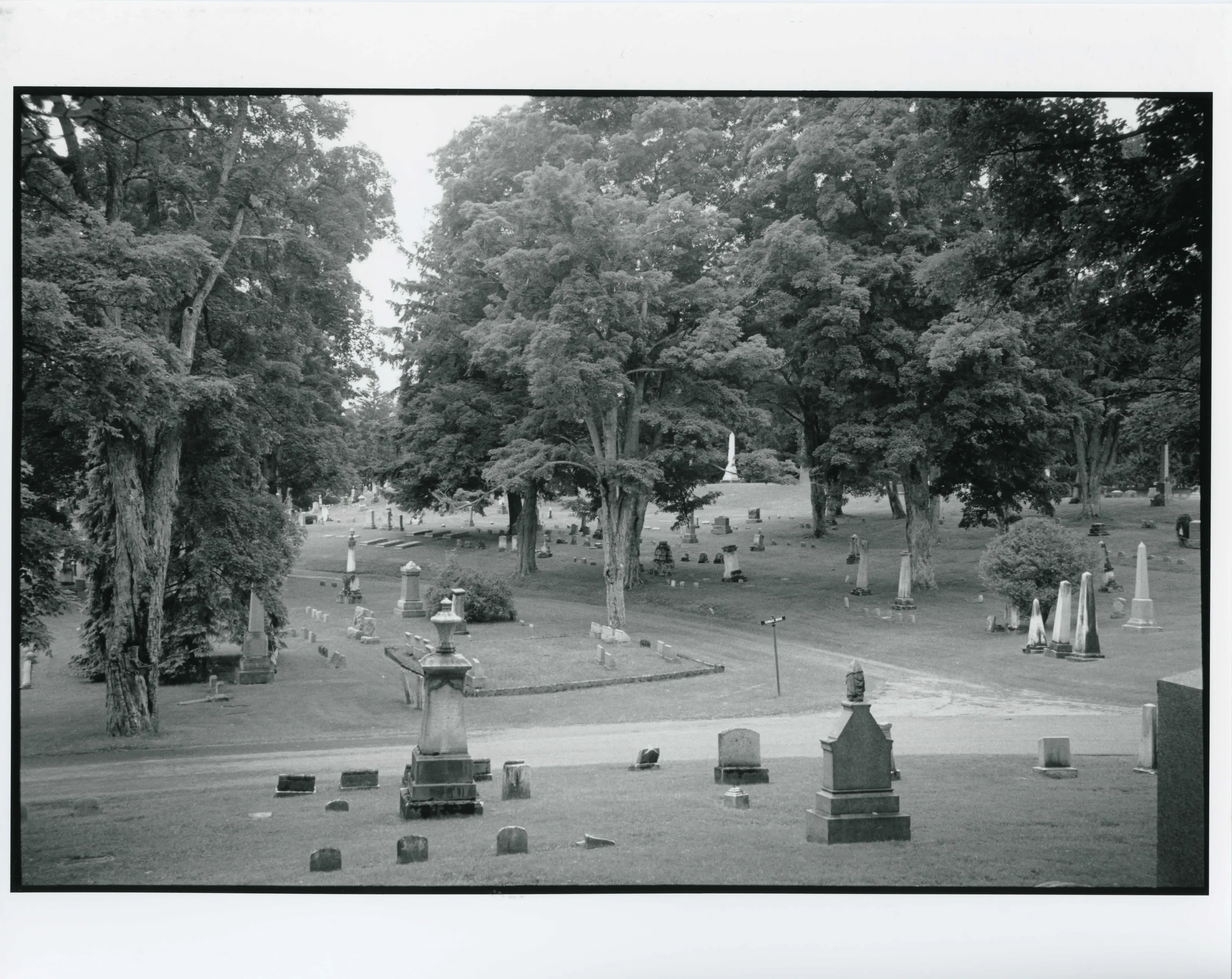
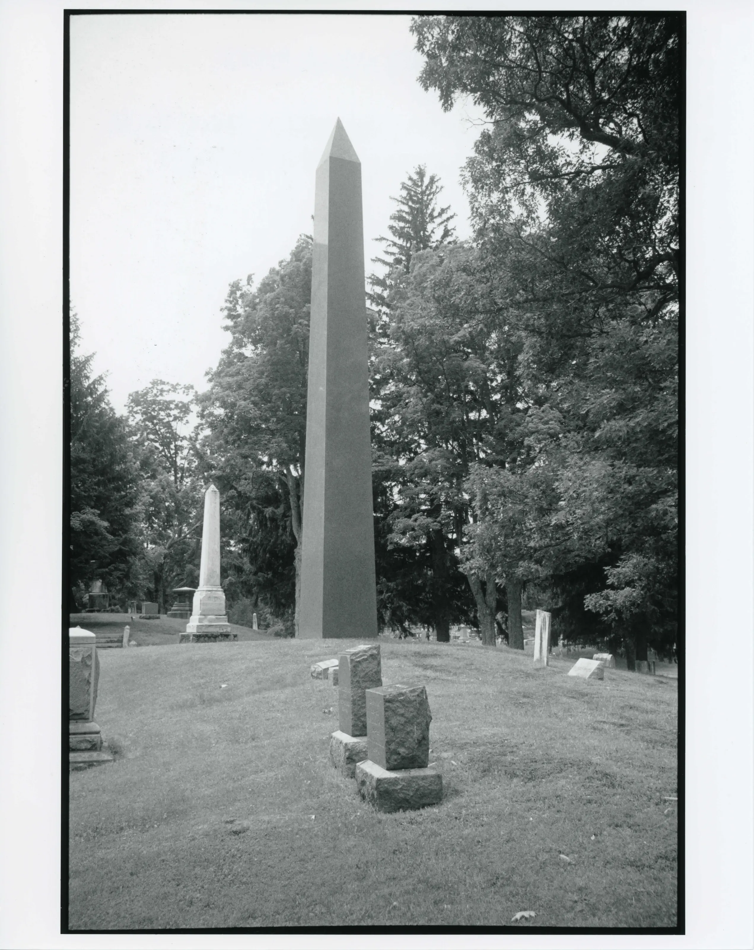
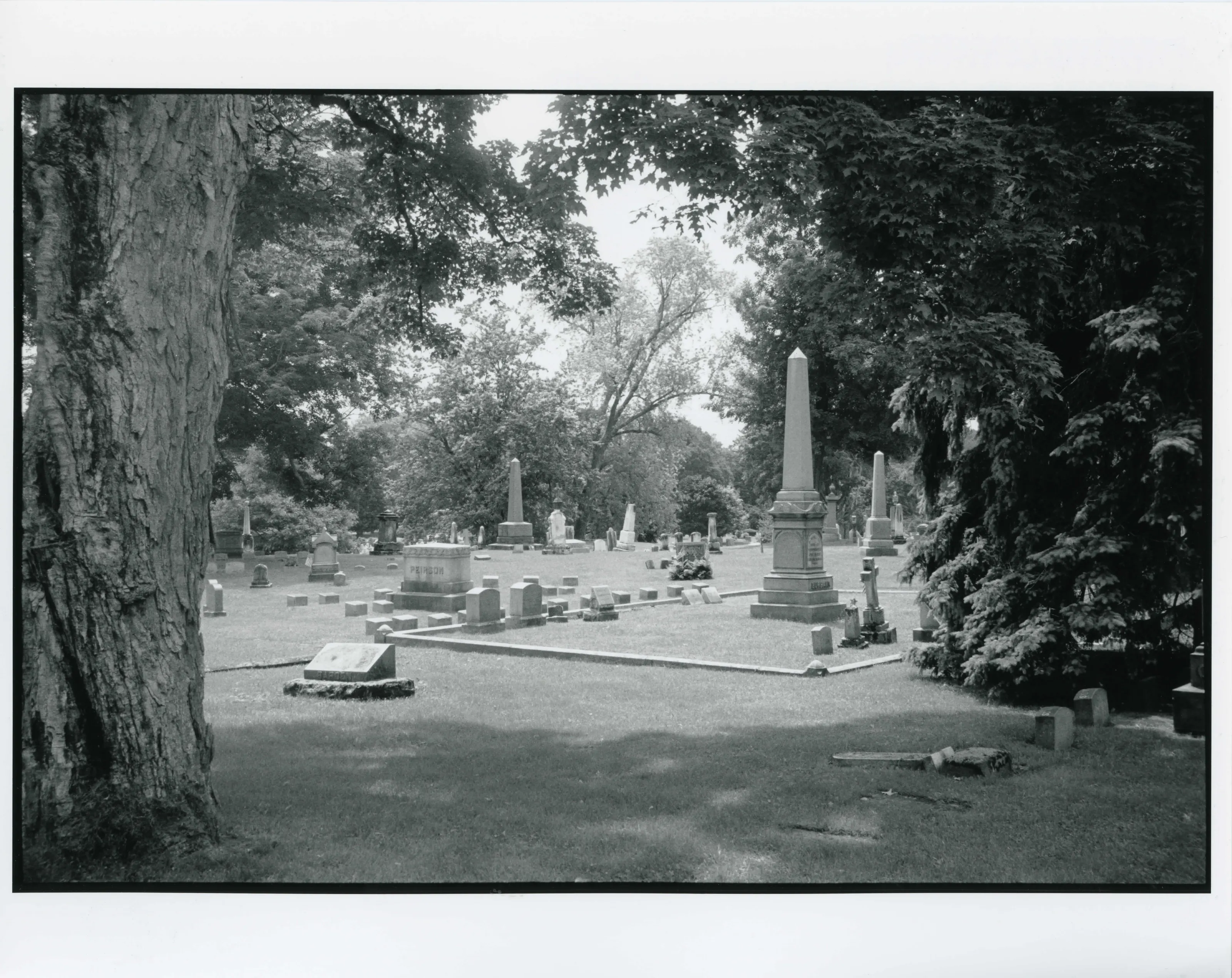
Cemetery established in 1850 on what was then the outskirts of Pittsfield, holding the graves of the city's founders and of people who served in local, state and national government. Listed for architecture, community planning and landscape architecture.
- Built
- 1850 (established)
- Architect / builder
- Horatio Stone; Olmsted Brothers; Mary Tillinghast; George C. Harding; J. Phillip Rinn
- Significance and period
- Architecture; Community Planning; Landscape Architecture
“The cemetery contains the graves of the individuals who founded and shaped the City of Pittsfield”
National Register nomination
Summary paraphrased from the nomination text; the form is linked below.
What the nomination says it is
The Pittsfield Cemeter}' lies at the northwest end of Pittsfield's downtown on 142 acres of land along the west side of Wahconah Street. The Berkshire Mountains of Massachusetts stand in the distance to the north, south and east, while New York's Taconic Range lies to the west. Onota Lake and Burbank Park border the cemetery's westem edge.
From the National Register nomination, 2007.
Quoted from the scanned form as the National Archives’ text layer reads it. Line breaks are joined; reading errors are left as they are.
Nearby listings in Pittsfield
- Allen Hotel
- Allen, William Russell, House
- Berkshire Life Insurance Company Building
- Eaton, Crane & Pike Company Factory
- Harrison, Samuel, House
- Melville, Herman, House
- Morewood School
- Old Central Fire Station
- Old Central High School
- Old Town Hall
- Park Square Historic District
- Park Square Historic District (Boundary Increase)
- Pilgrim Memorial Church and Parish House
- Power, Charles Whittlesey, House
- Providence Court
- Rice, A.H., Silk Mill
- South Mountain Concert Hall
- Springside House
- Upper North Street Commercial District
- Wahconah Park
- Wollison-Shipton Building
Sources, rights and limits
- Listing facts. National Park Service, National Register of Historic Places spatial data, queried 6 November 2026: type, year listed, landmark status, map location. U.S. government work, public domain.
- Nomination text and areas of significance. National Archives catalog record 63794240, “Massachusetts SP Pittsfield Cemetery”. National Register nomination forms are U.S. government records and public domain. The quoted text is the catalog’s text layer (machine reading of the scan, 2025-07-29), not a transcription.
- Photographs. Photographs are reproduced from the nomination file at the National Archives with the photographer’s credit as typed on the print; rights may remain with the photographer. Write to hello@parcenomics.com to have one removed.
- Location line. Address as in the Park Service layer.
- Outline. Town boundary from the Commonwealth’s town layer, generalized. Not a survey.