Pittsfield · National Register
Park Square Historic District (Boundary Increase)
Historic district · listed 1991
- Type
- Historic district
- Town
- Pittsfield
- Listed
- 1991
- Location
- Roughly bounded by E. Housatonic, South, North and Fenn Sts. and Wendell Ave.
- Areas of significance
- Architecture; Community Planning and Development
- Architectural classification
- Federal; Greek Revival; Classical Revival; Renaissance Revival; Eastlake; Gothic Revival; Queen Anne; Romanesque Revival; Shingle; High Victorian Gothic; Italianate; Eclectic; Neoclassical Revival
- Reference number
- 91001826
About this listing
Boundary increase to the Park Square district in central Pittsfield, around the oval green on North, South, West and East Streets. It adds blocks of later 19th- and early 20th-century churches, banks, civic and commercial buildings and houses, including the Colonial and Majestic theatres. The original district was listed in 1975.
- Built
- 1815-1941
- Architect / builder
- Holmes & Winslow; H. Neill Wilson
- Style
- Mixed later 19th- and early 20th-century civic, religious and commercial styles
- Significance and period
- Architecture; Community Planning and Development (1815-1941)
- People named
- John Chandler Williams
The green was donated to the town by John Chandler Williams in 1790. The extension traces Pittsfield's rise from farming through textile and paper mills to electrical machinery, and covers 27.4 acres.
“demonstrates the evolution of the city as the most important political and economic center of Berkshire County”
National Register nomination
Summary paraphrased from the nomination text; the form is linked below.
Why it is on the Register
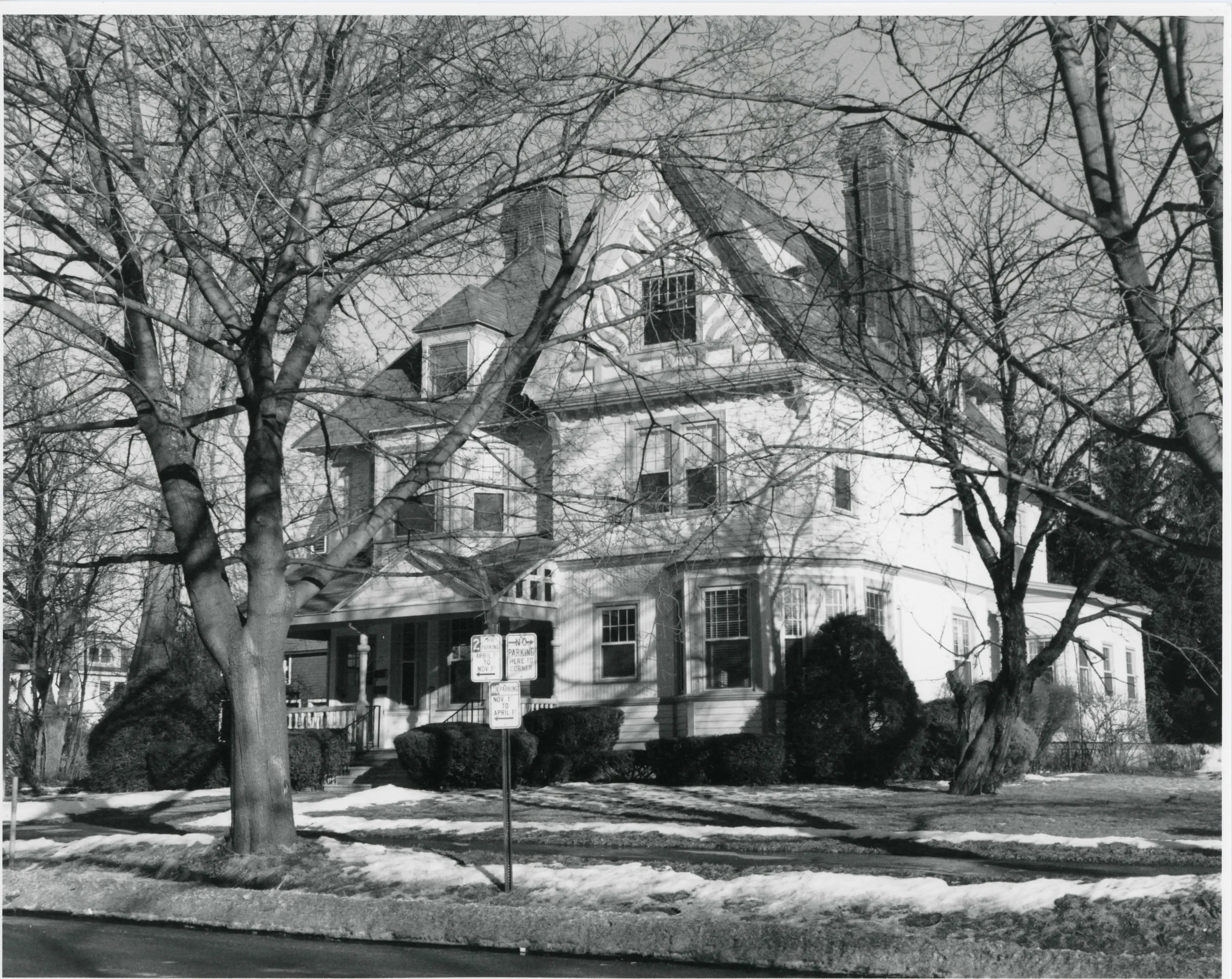
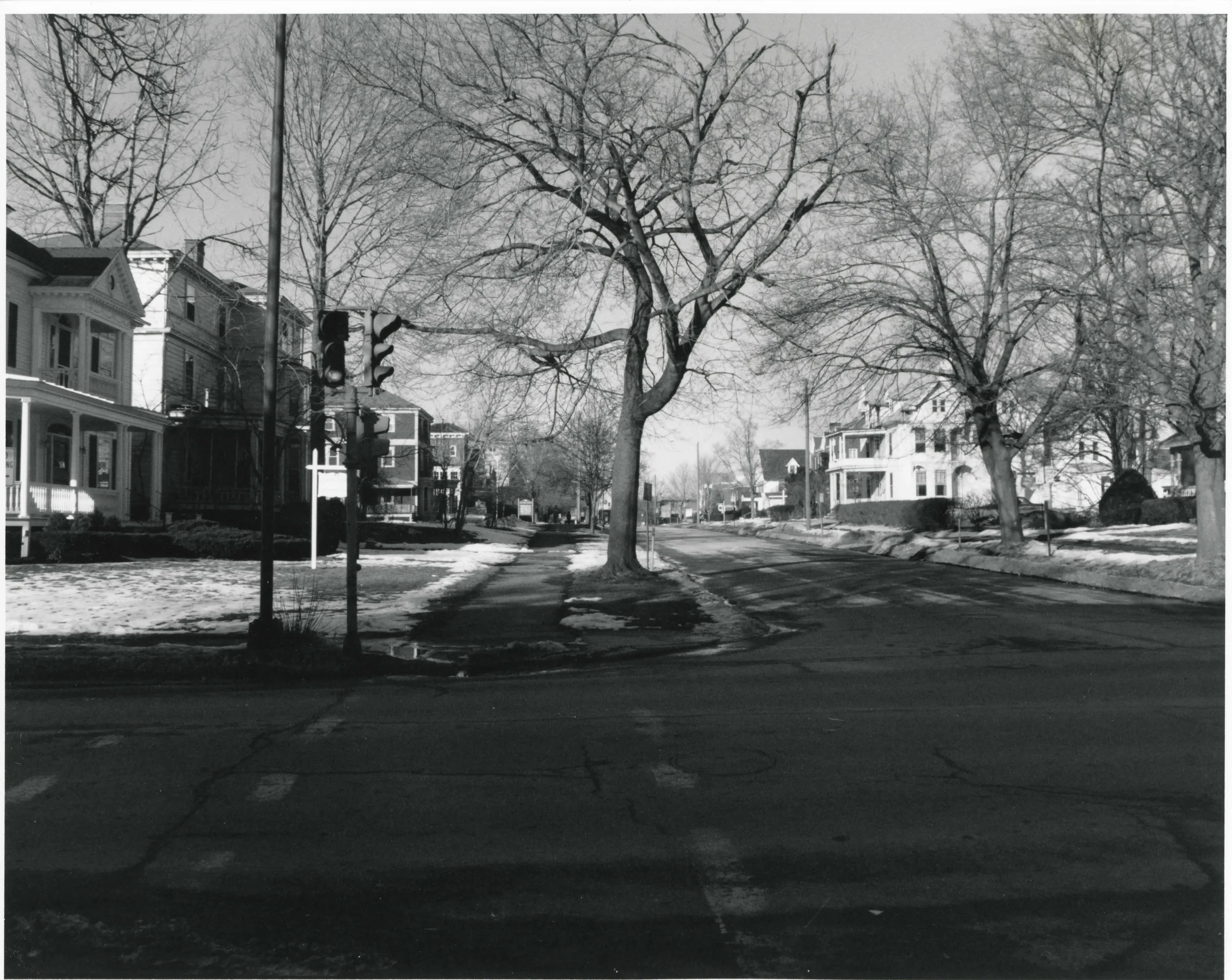
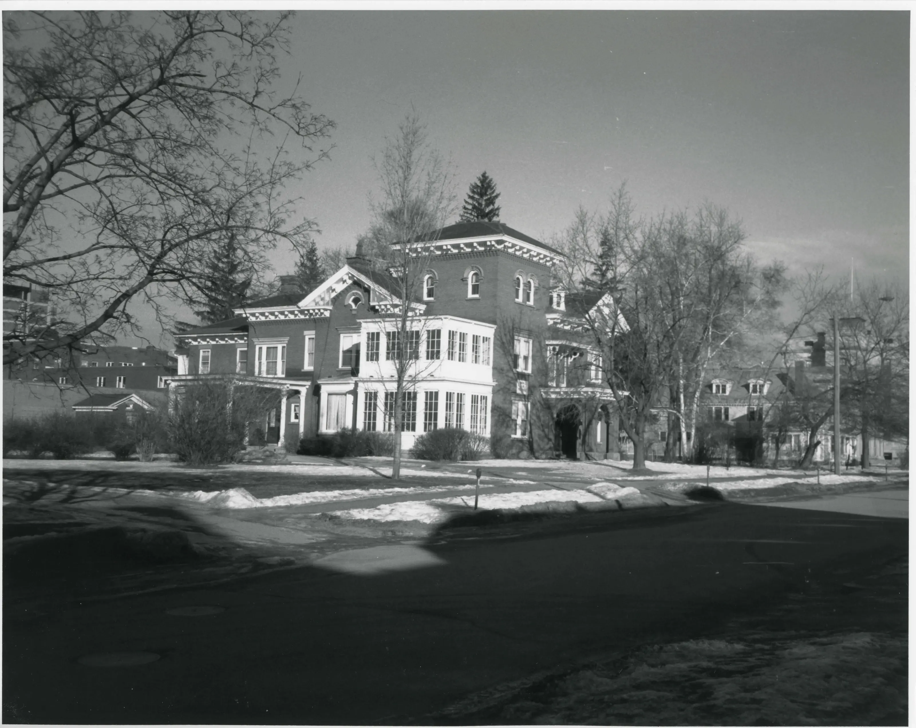
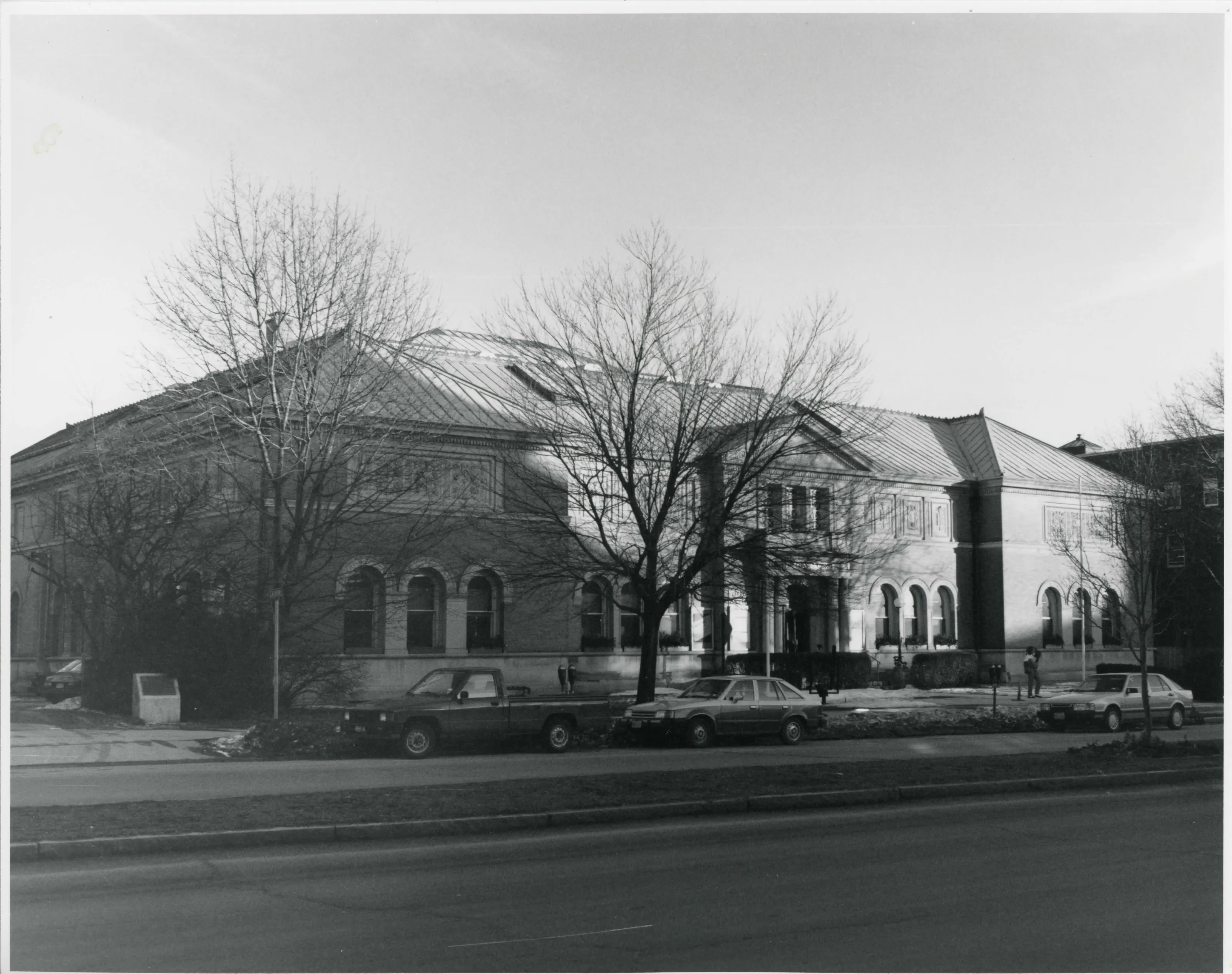
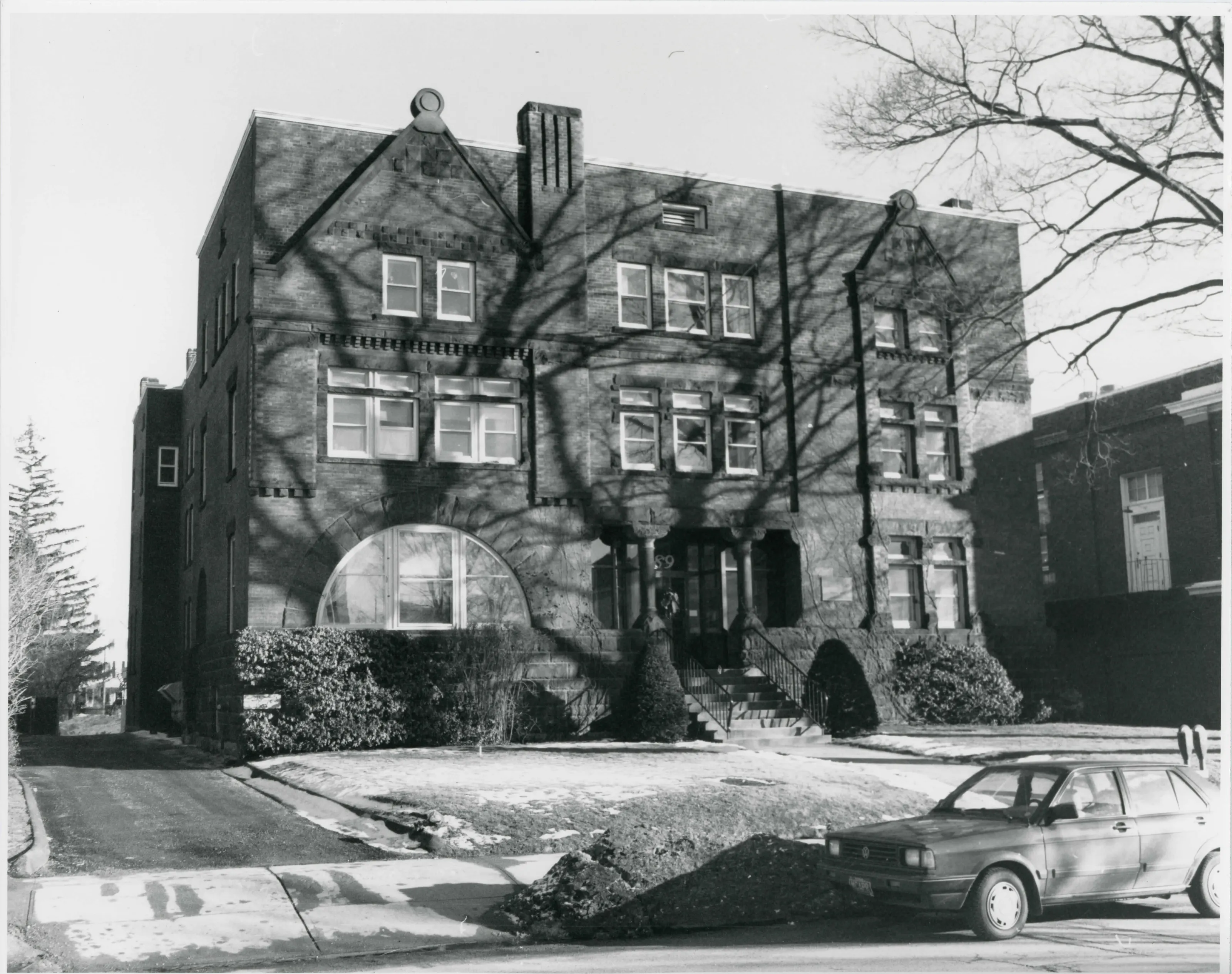
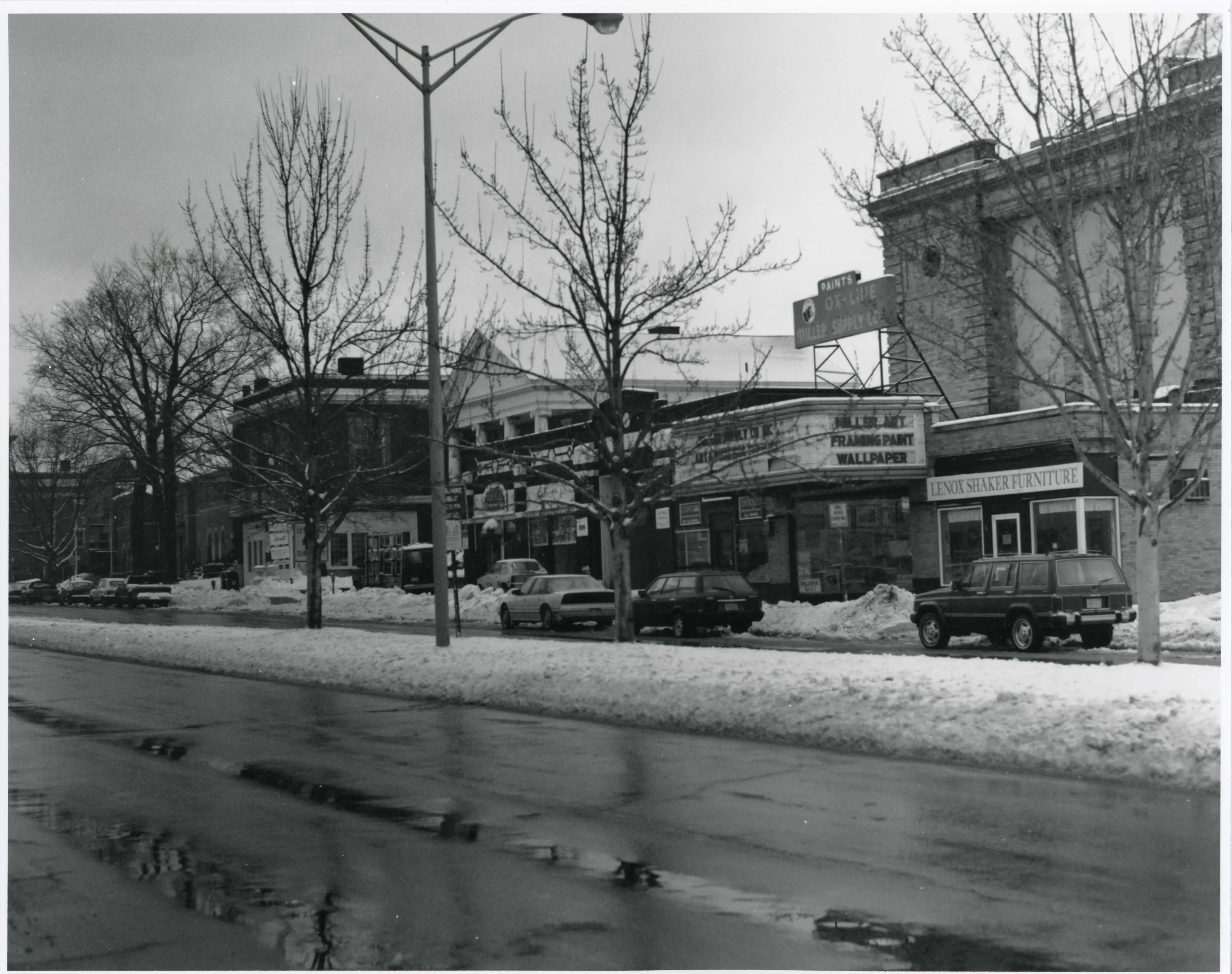
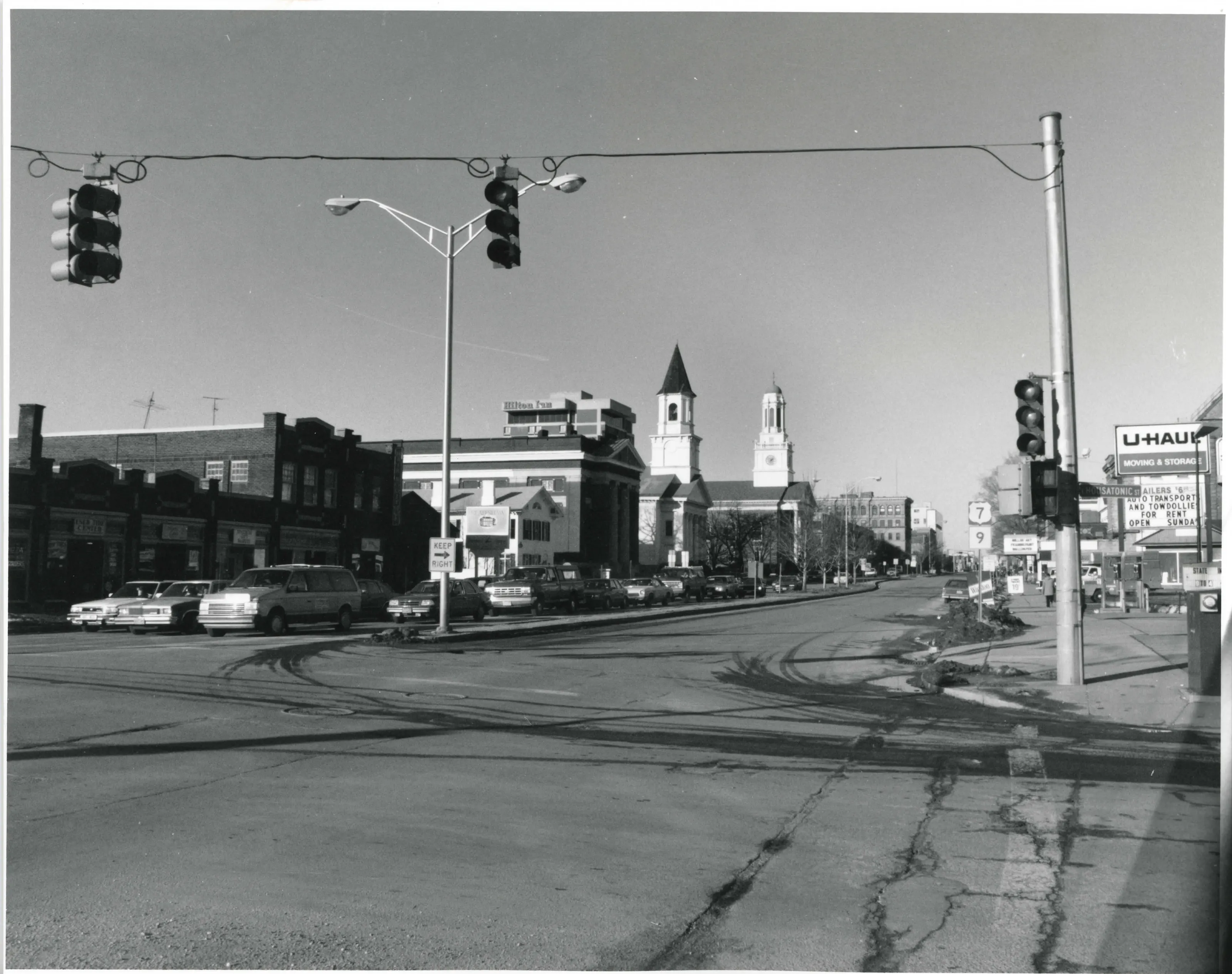
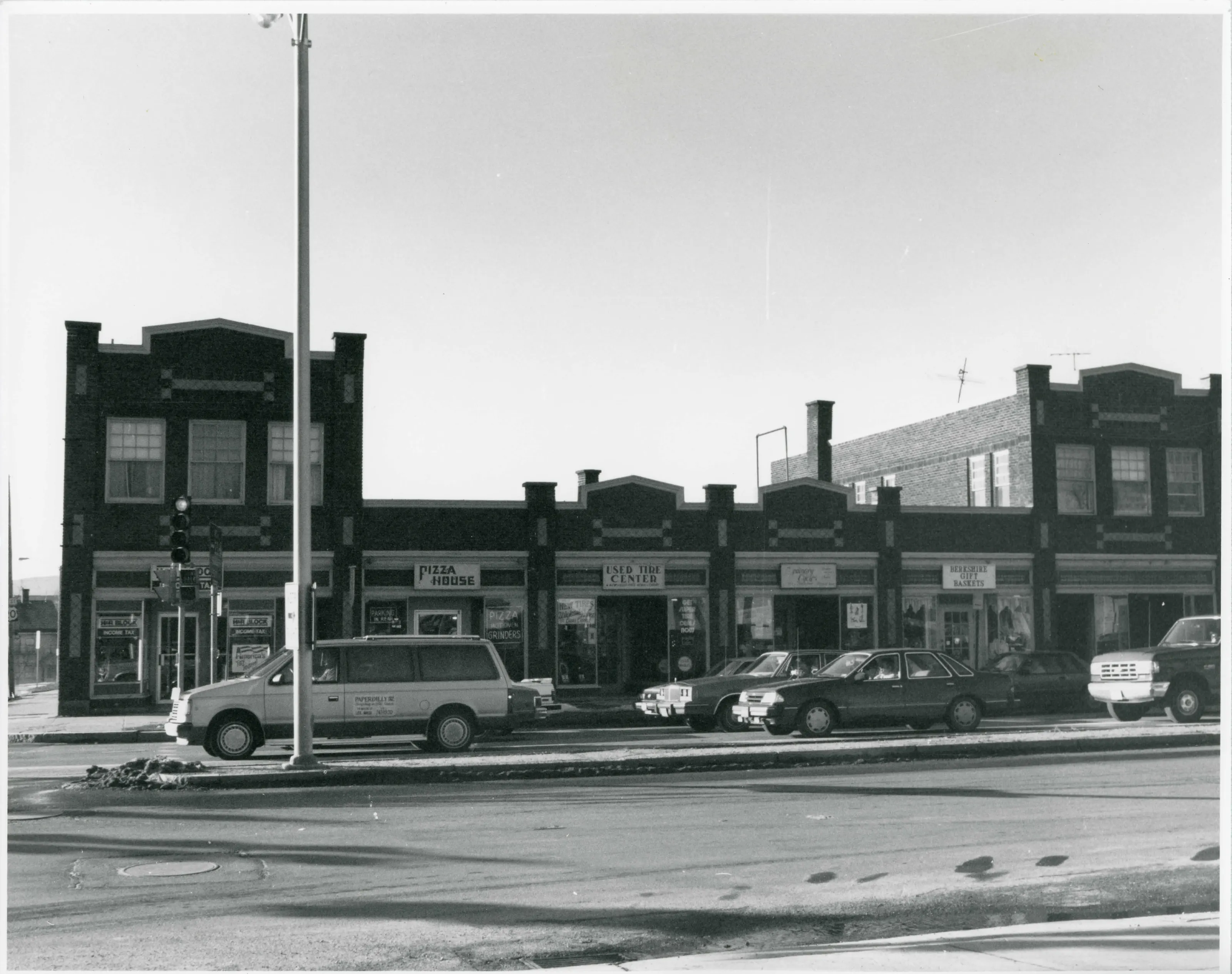
Architecturally, the district expansion includes the most substantial commercial, civic and both public and private institutional buildings as well as notable residential buildings in the city. Therefore, the Park Square Historic District Extension fulfills National Register criteria A and C, and is significant on the local level. The district also meets criteria consideration A, for religious properties. The Park Square Historic District Extension in the heart of Pittsfield has long been the political, social and economic center of the Berkshire area. Located on a plateau at the junction of the East and West Housatonic rivers between the Hoosac and Taconic mountain ranges. Pittsfield occupies the largest flat area in a mountainous region.
From the National Register nomination, 1991.
Quoted from the scanned form as the National Archives’ text layer reads it. Line breaks are joined; reading errors are left as they are.
Nearby listings in Pittsfield
- Allen Hotel
- Allen, William Russell, House
- Berkshire Life Insurance Company Building
- Eaton, Crane & Pike Company Factory
- Harrison, Samuel, House
- Melville, Herman, House
- Morewood School
- Old Central Fire Station
- Old Central High School
- Old Town Hall
- Park Square Historic District
- Pilgrim Memorial Church and Parish House
- Pittsfield Cemetery
- Power, Charles Whittlesey, House
- Providence Court
- Rice, A.H., Silk Mill
- South Mountain Concert Hall
- Springside House
- Upper North Street Commercial District
- Wahconah Park
- Wollison-Shipton Building
Sources, rights and limits
- Listing facts. National Park Service, National Register of Historic Places spatial data, queried 6 November 2026: type, year listed, landmark status, map location. U.S. government work, public domain.
- Nomination text and areas of significance. National Archives catalog record 63794218, “Massachusetts SP Park Square Historic District (Boundary Increase)”. National Register nomination forms are U.S. government records and public domain. The quoted text is the catalog’s text layer (machine reading of the scan, 2025-07-29), not a transcription.
- Photographs. Photographs are reproduced from the nomination file at the National Archives with the photographer’s credit as typed on the print; rights may remain with the photographer. Write to hello@parcenomics.com to have one removed.
- Location line. Address as in the Park Service layer.
- Outline. Town boundary from the Commonwealth’s town layer, generalized. Not a survey.