Lee · National Register
Lee Lower Main Street Historic District
Historic district · listed 1976
- Type
- Historic district
- Town
- Lee
- Listed
- 1976
- Location
- Roughly, area surrounding Main and Park Streets
- Areas of significance
- Architecture; Commerce; Industry; Religion
- Architectural classification
- Italianate; Renaissance Revival; French Mansard; Federal; Romanesque Revival; Shingle style; New England Vernacular
- Reference number
- 09000090
About this listing
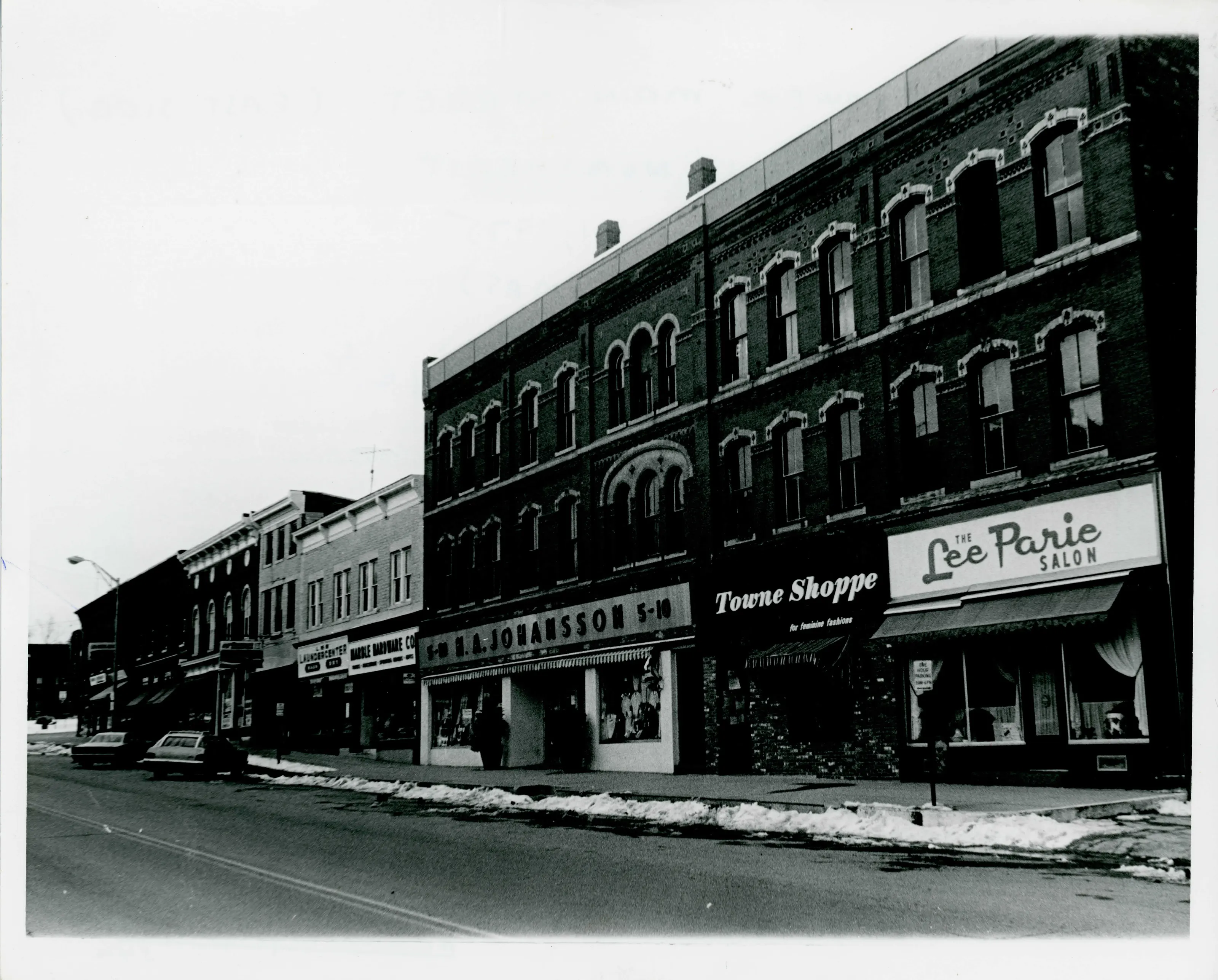
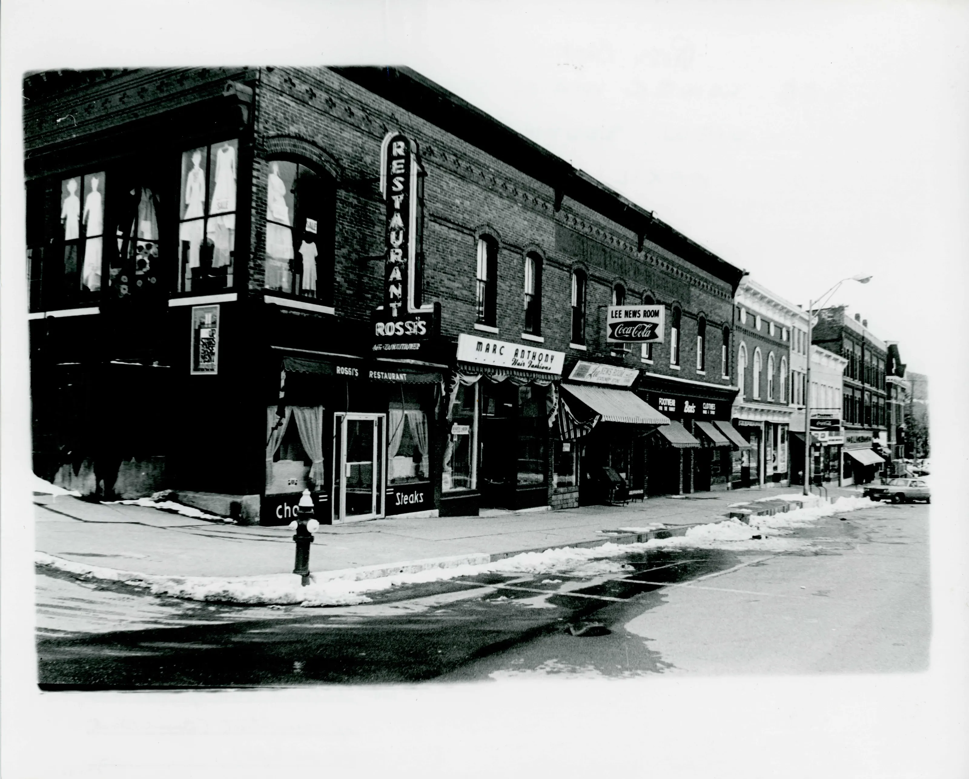
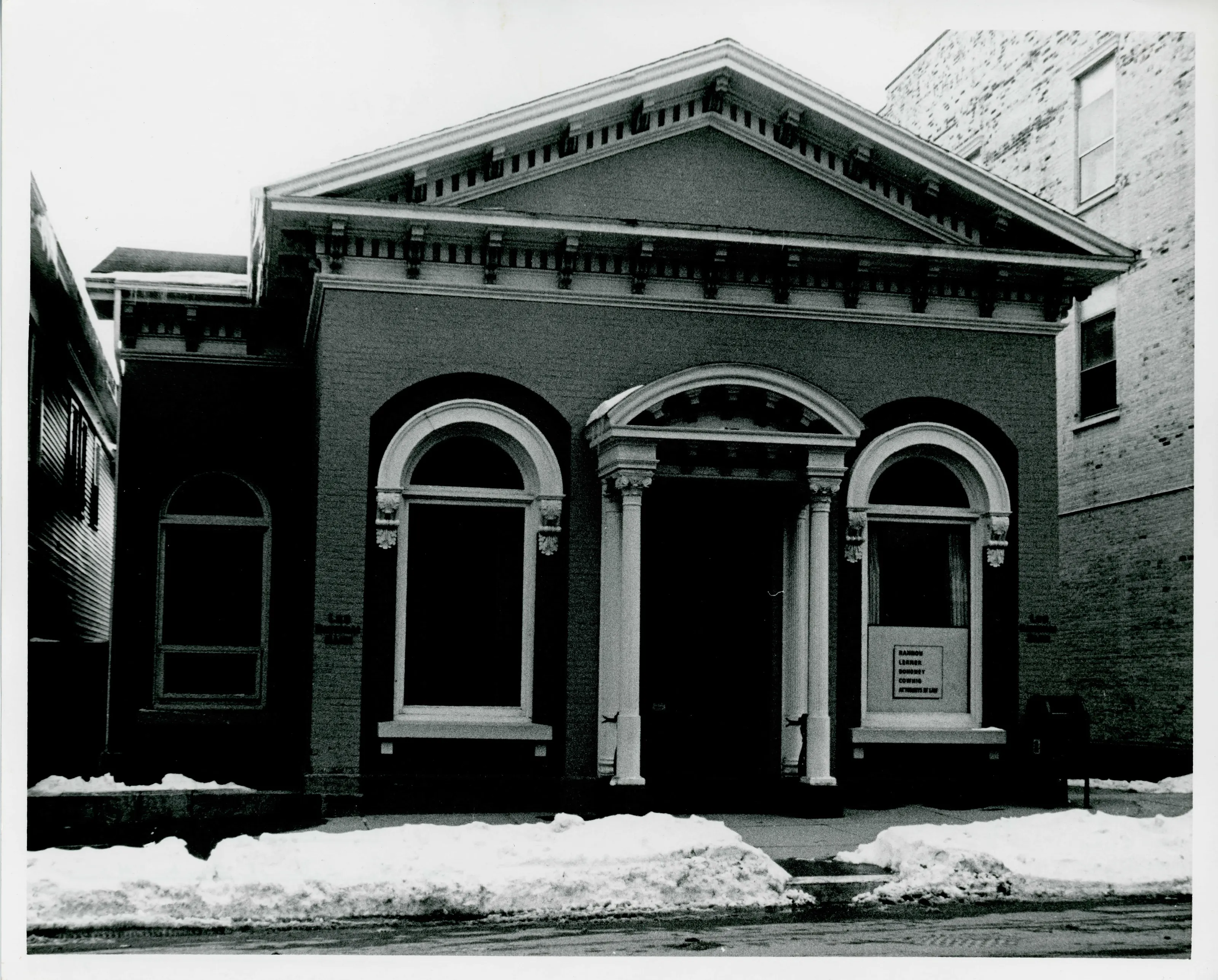
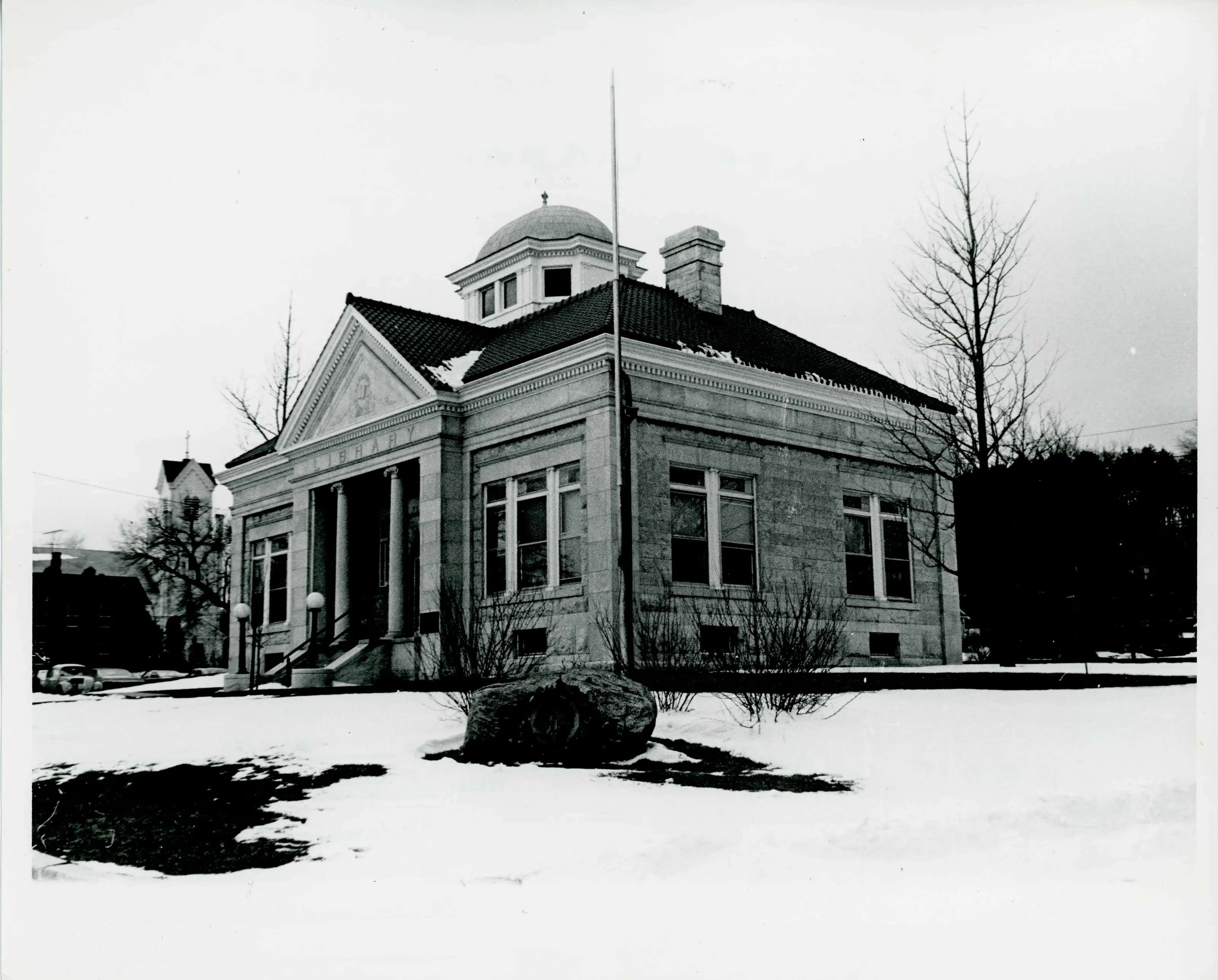
Lee's 19th-century town center, significant for its buildings and for its link to the paper-making and marble industries of the United States.
- Significance and period
- Architecture; Commerce; Industry
“significant not only as a handsome 19th century town center, but also for its historic association with the development of the paper-making and marble industries”
National Register nomination
Summary paraphrased from the nomination text; the form is linked below.
The scanned form’s text could not be separated into its description and significance sections reliably, so those two sections are not quoted here. The full form is linked below.
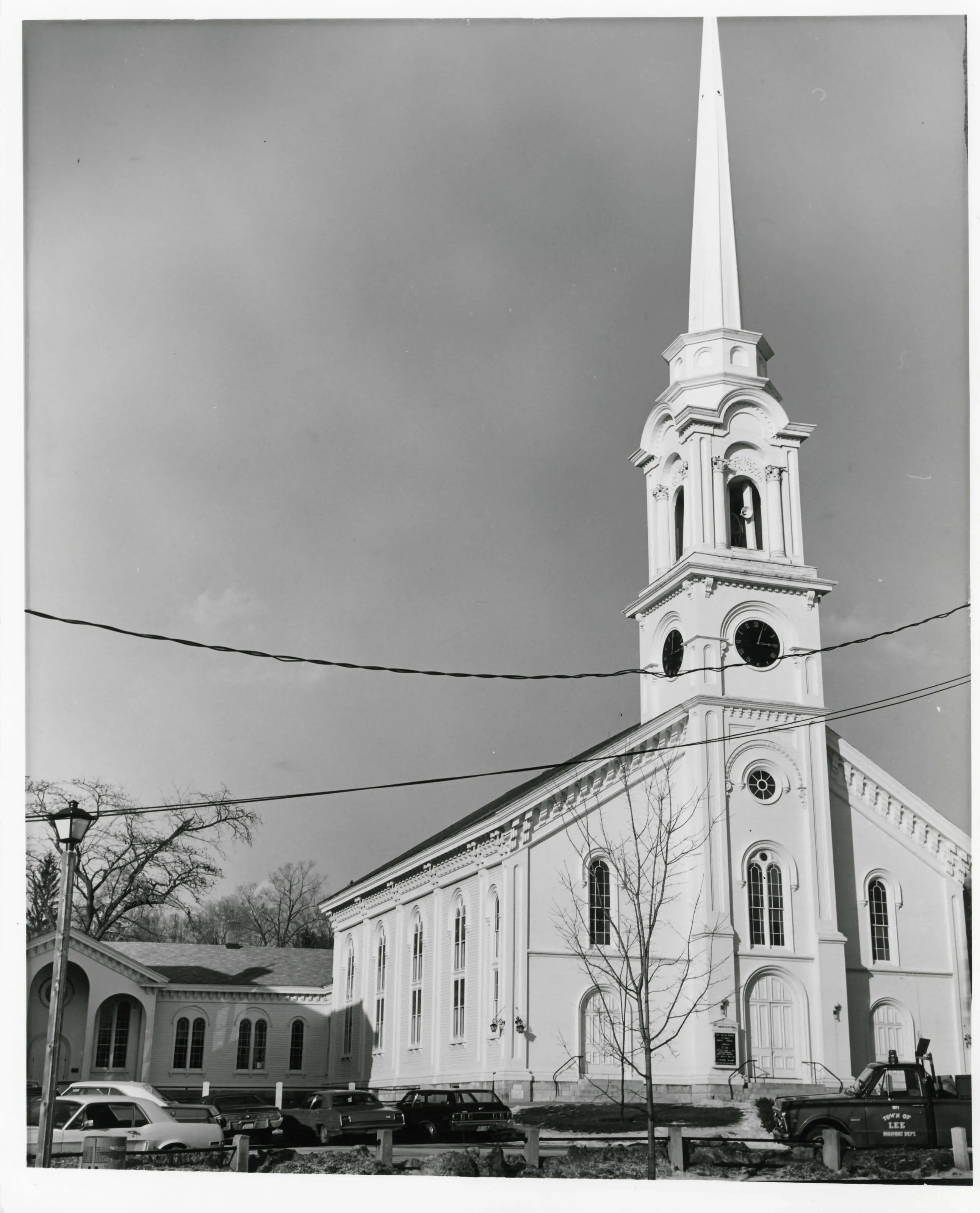
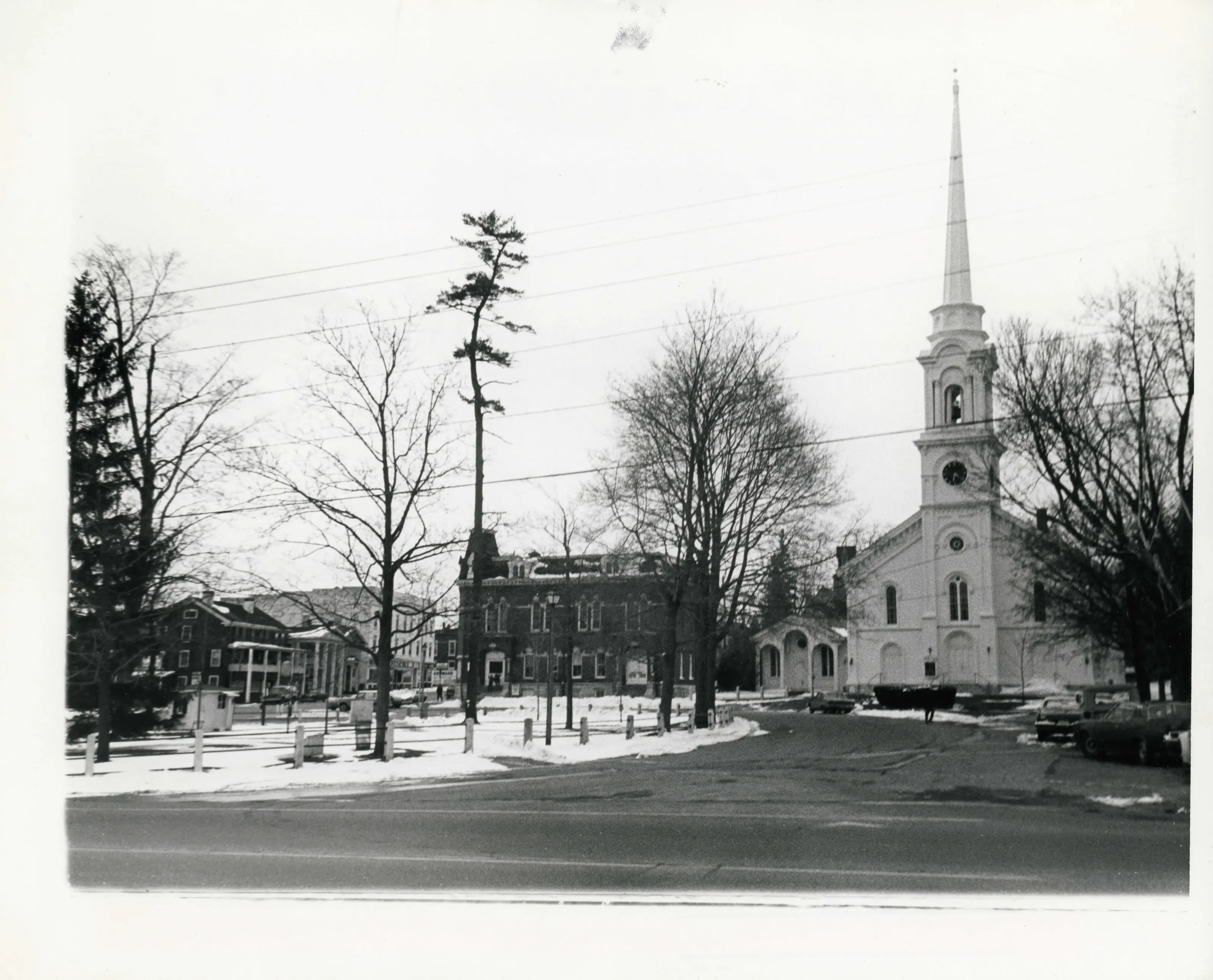
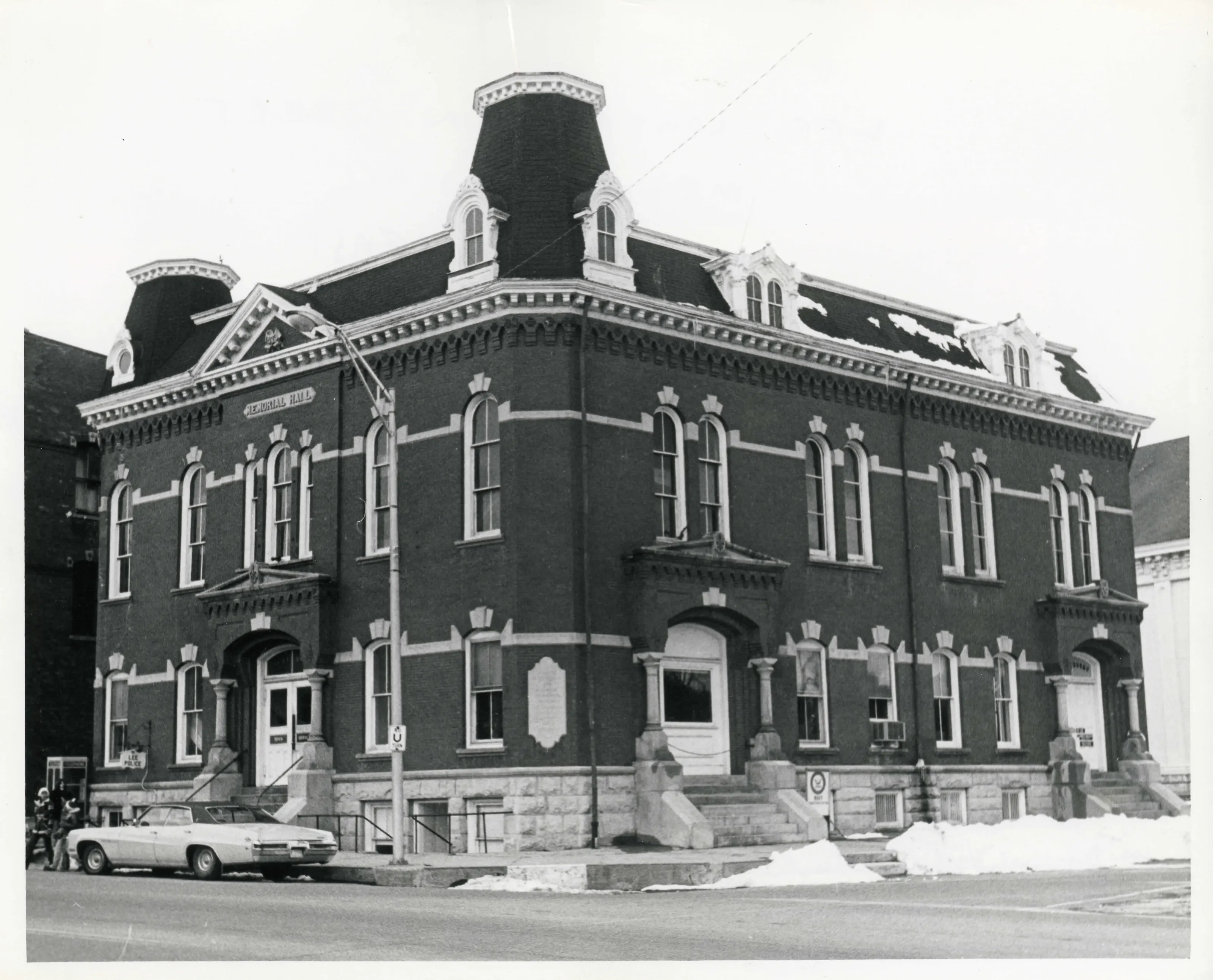
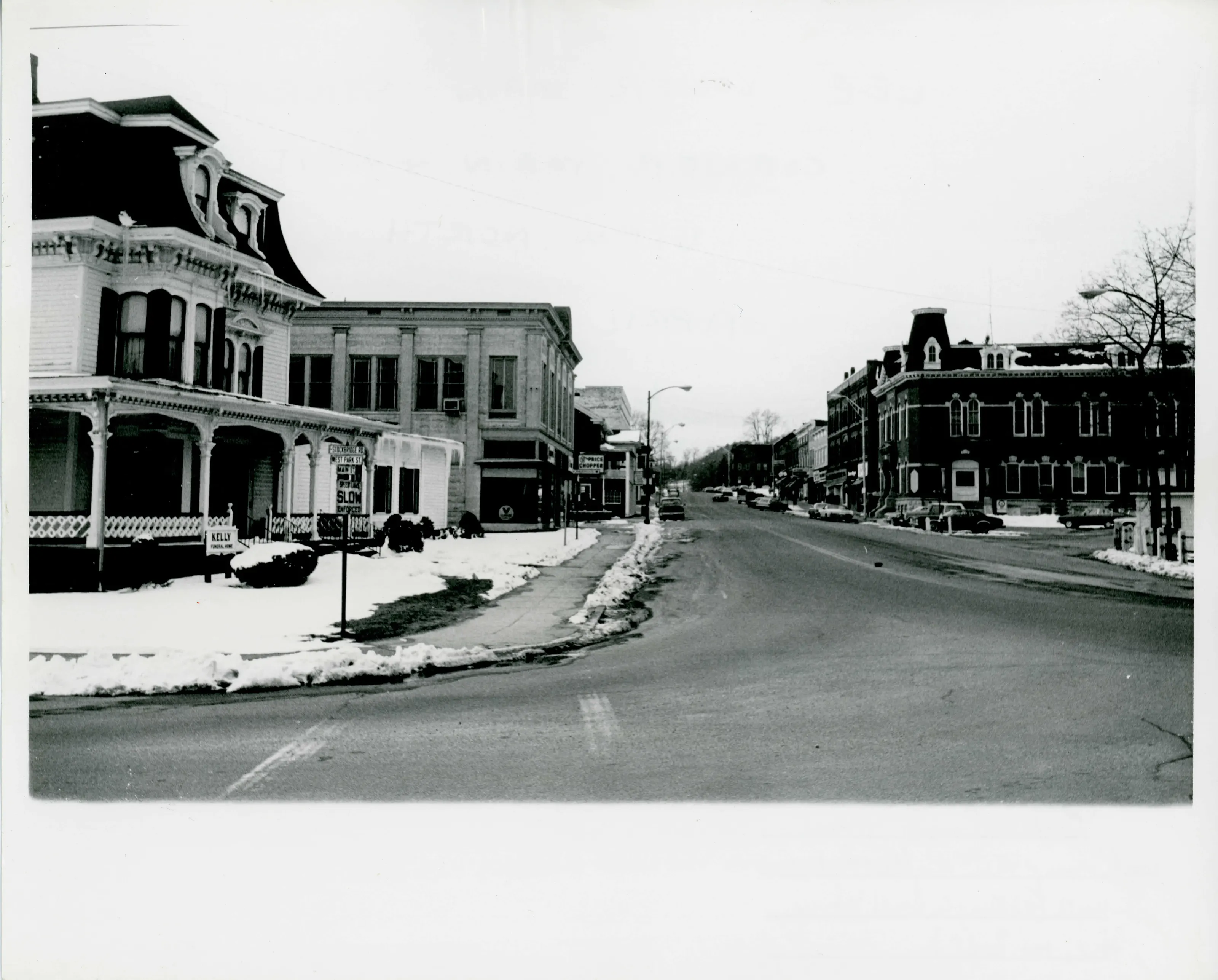
Sources, rights and limits
- Listing facts. National Park Service, National Register of Historic Places spatial data, queried 6 November 2026: type, year listed, landmark status, map location. U.S. government work, public domain.
- Nomination text and areas of significance. National Archives catalog record 63794208, “Massachusetts SP Lee Lower Main Street Historic District”. National Register nomination forms are U.S. government records and public domain. The quoted text is the catalog’s text layer (machine reading of the scan, 2024-04-06), not a transcription.
- Photographs. Photographs are reproduced from the nomination file at the National Archives with the photographer’s credit as typed on the print; rights may remain with the photographer. Write to hello@parcenomics.com to have one removed.
- Location line. Address as in the Park Service layer.
- Outline. Town boundary from the Commonwealth’s town layer, generalized. Not a survey.