Lee · National Register
Golden Hill Bridge
Structure · listed 1994
- Type
- Structure
- Town
- Lee
- Listed
- 1994
- Location
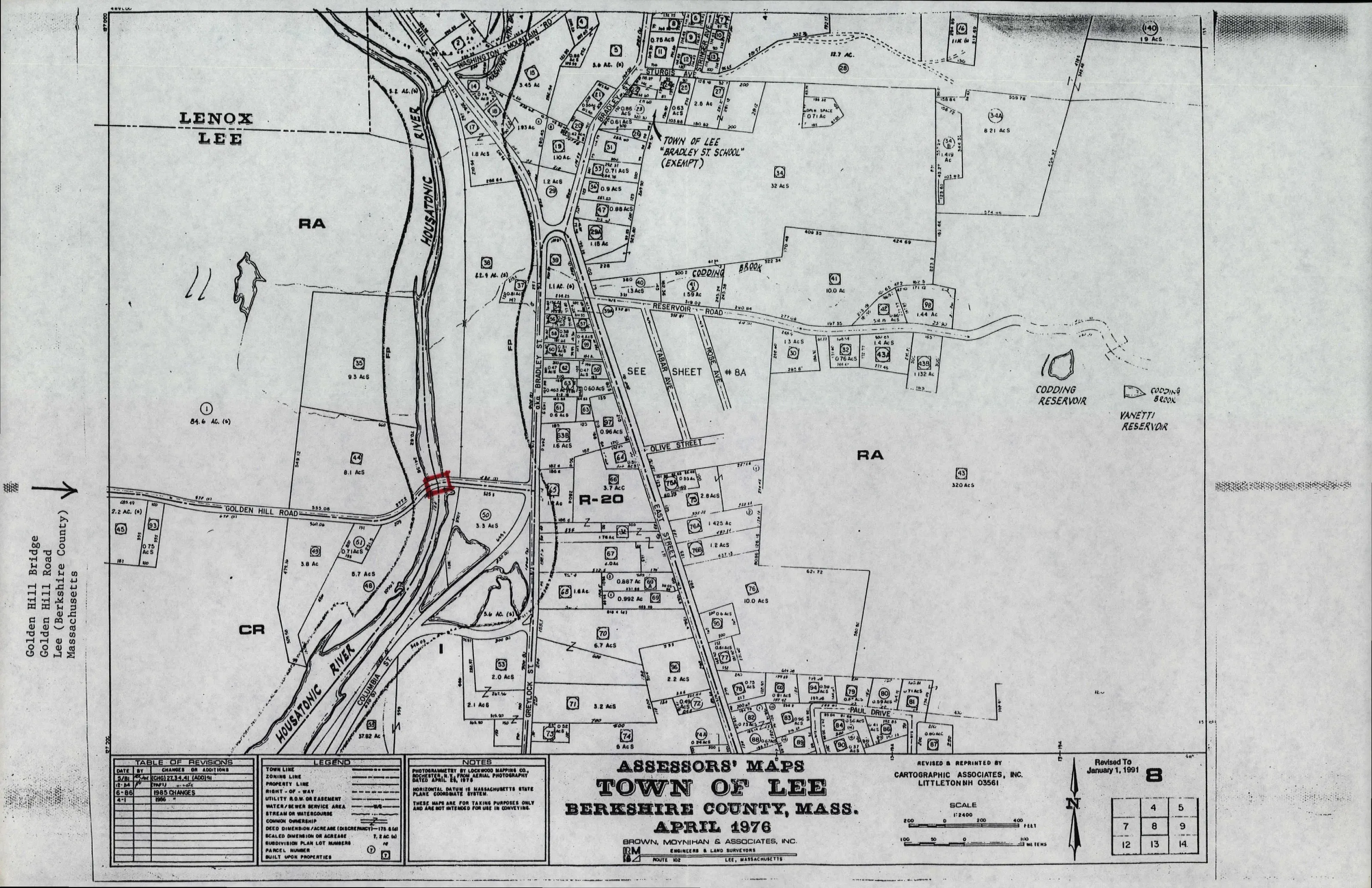
- Golden Hill Rd. over the Housatonic R.
- Areas of significance
- Transportation
- Reference number
- 93001592
About this listing
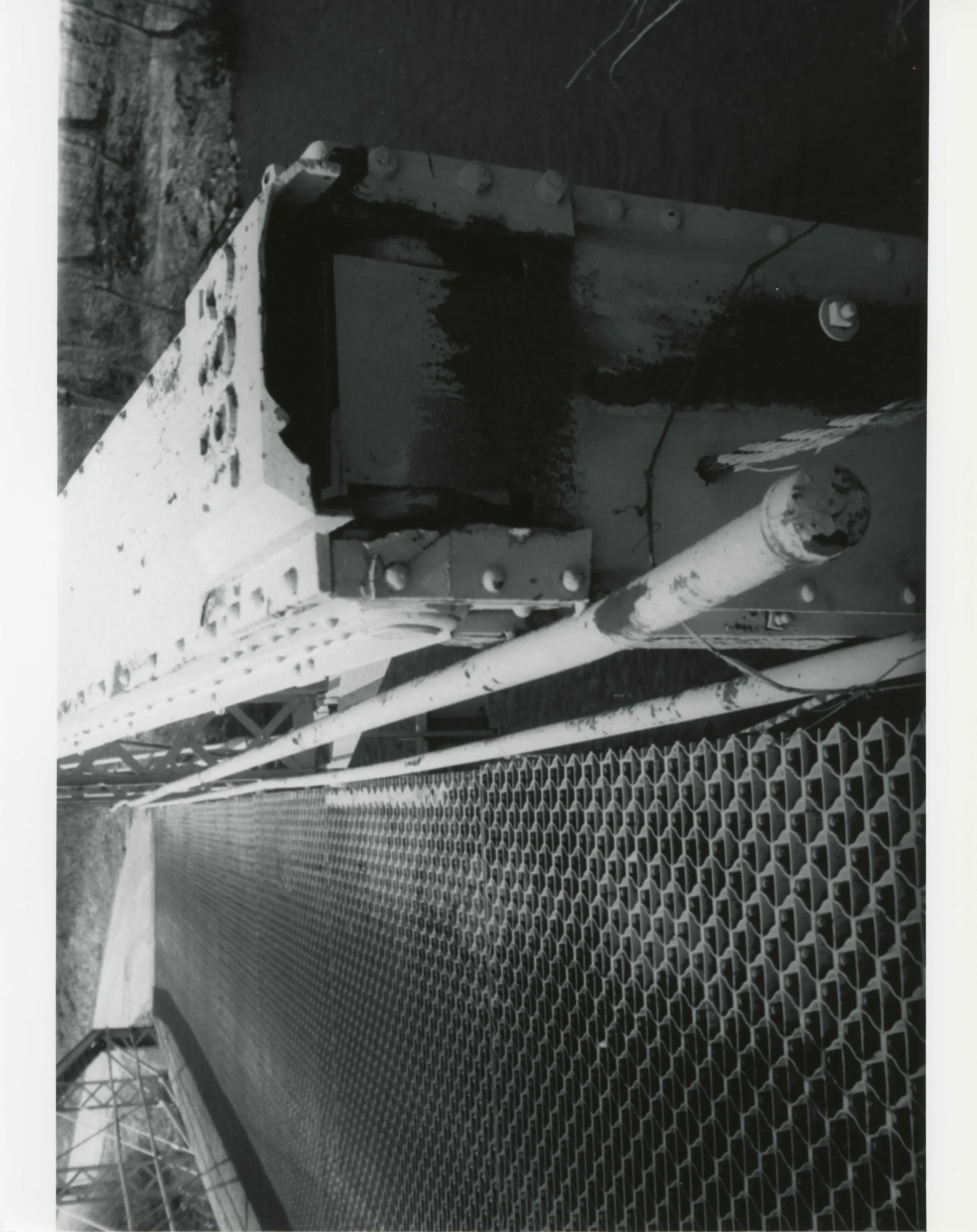
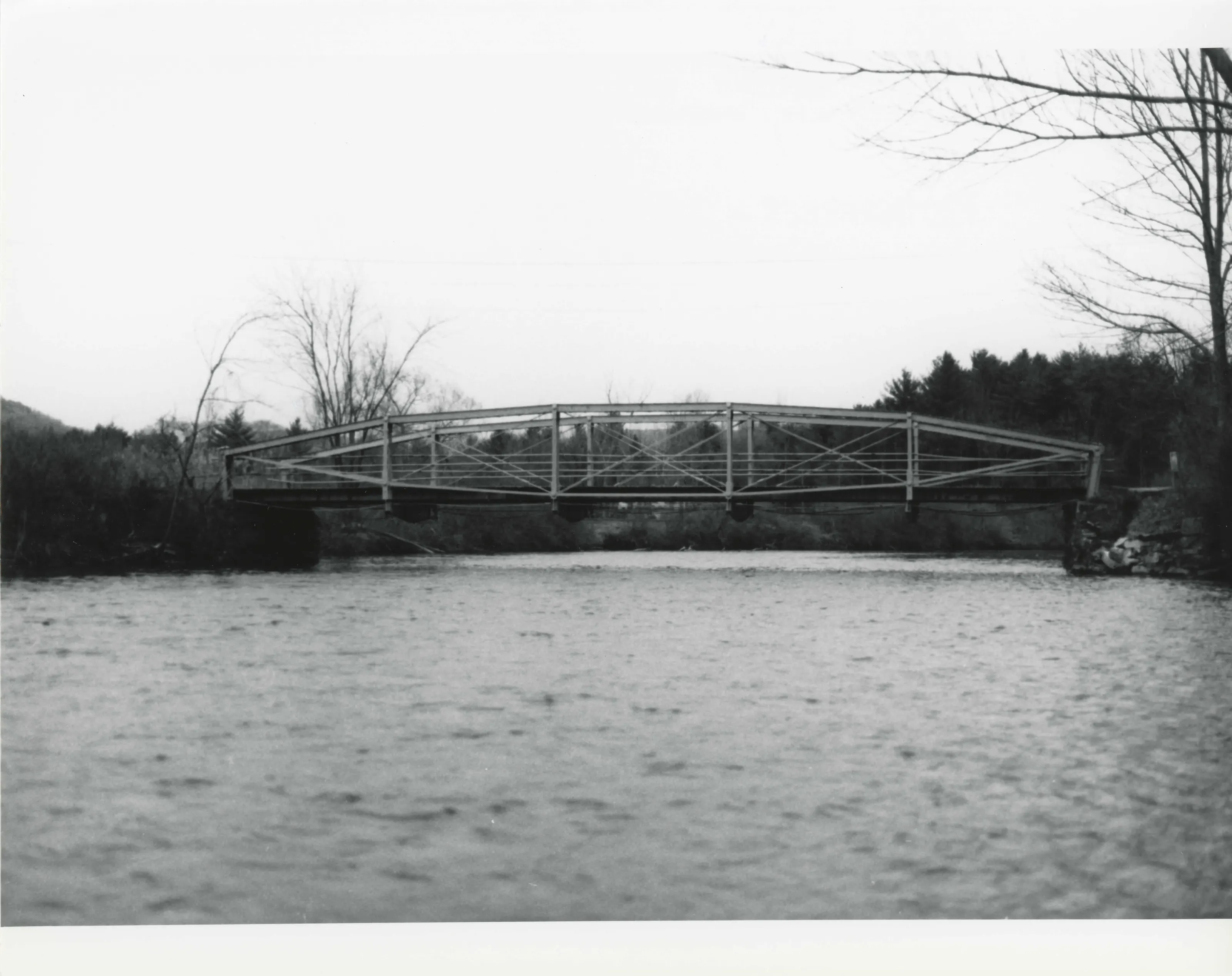
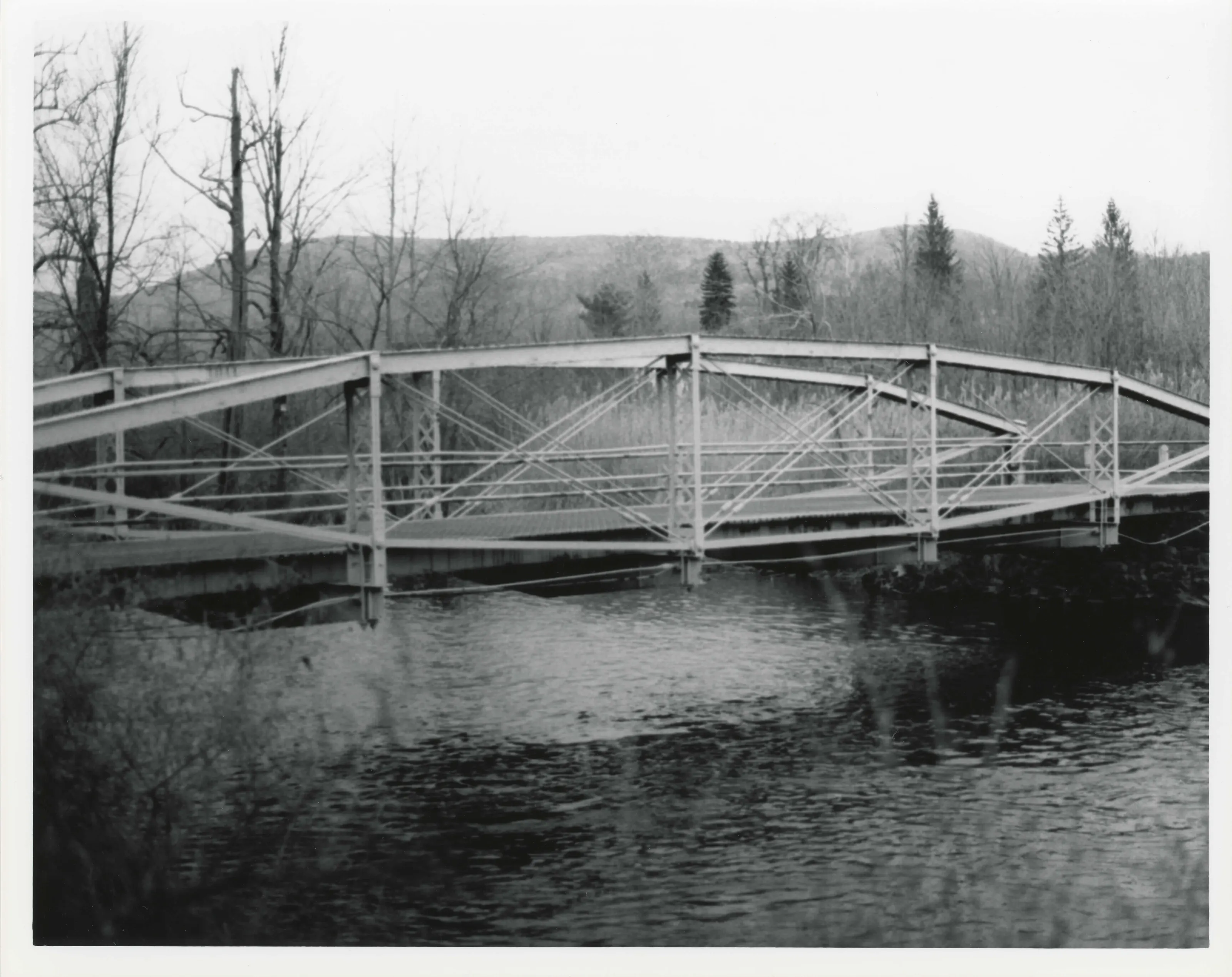
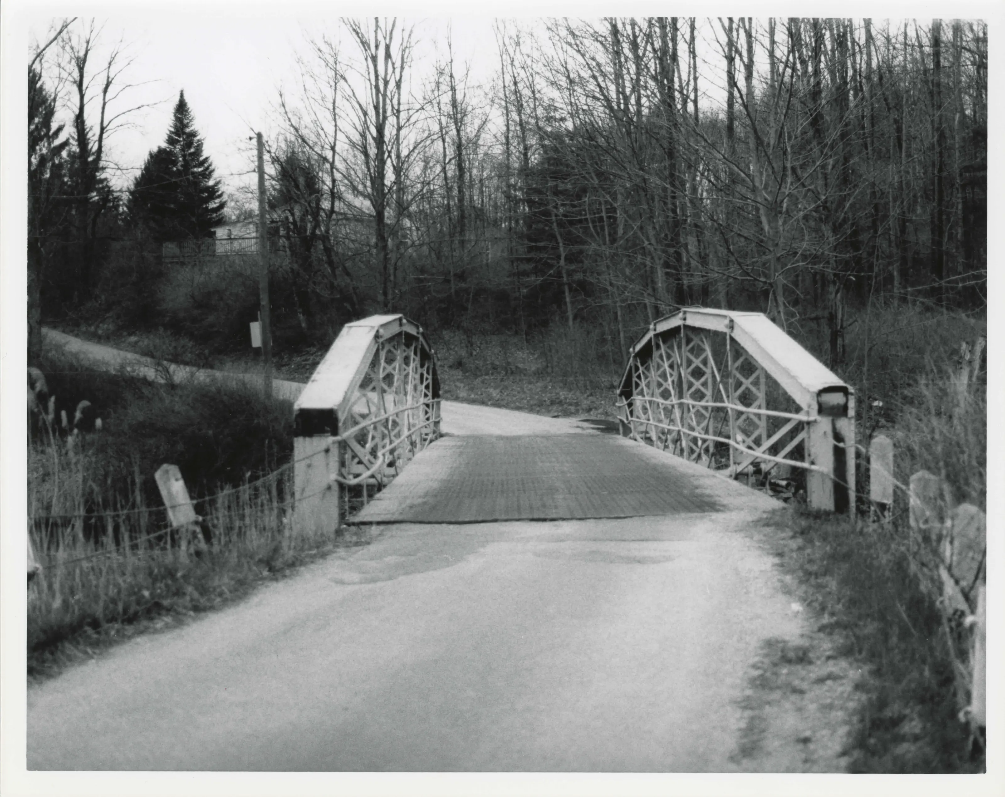
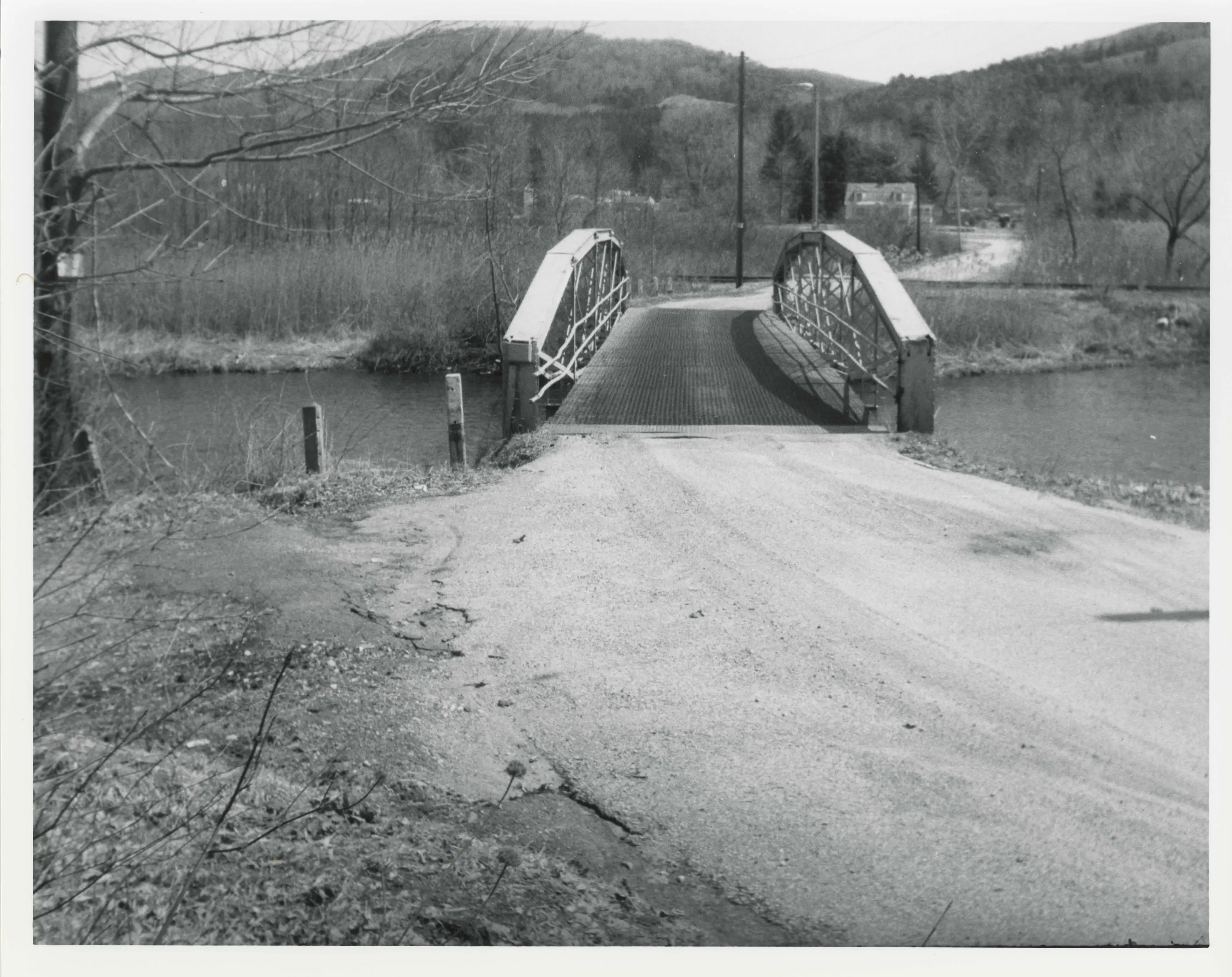
Iron lenticular truss bridge over the Housatonic River about a mile northeast of downtown Lee, also called the Tuttle Bridge, built by the Berlin Iron Bridge Co.
- Built
- 1885
- Architect / builder
- Berlin Iron Bridge Co.
- Style
- Lenticular truss
- Significance and period
- Transportation (1885)
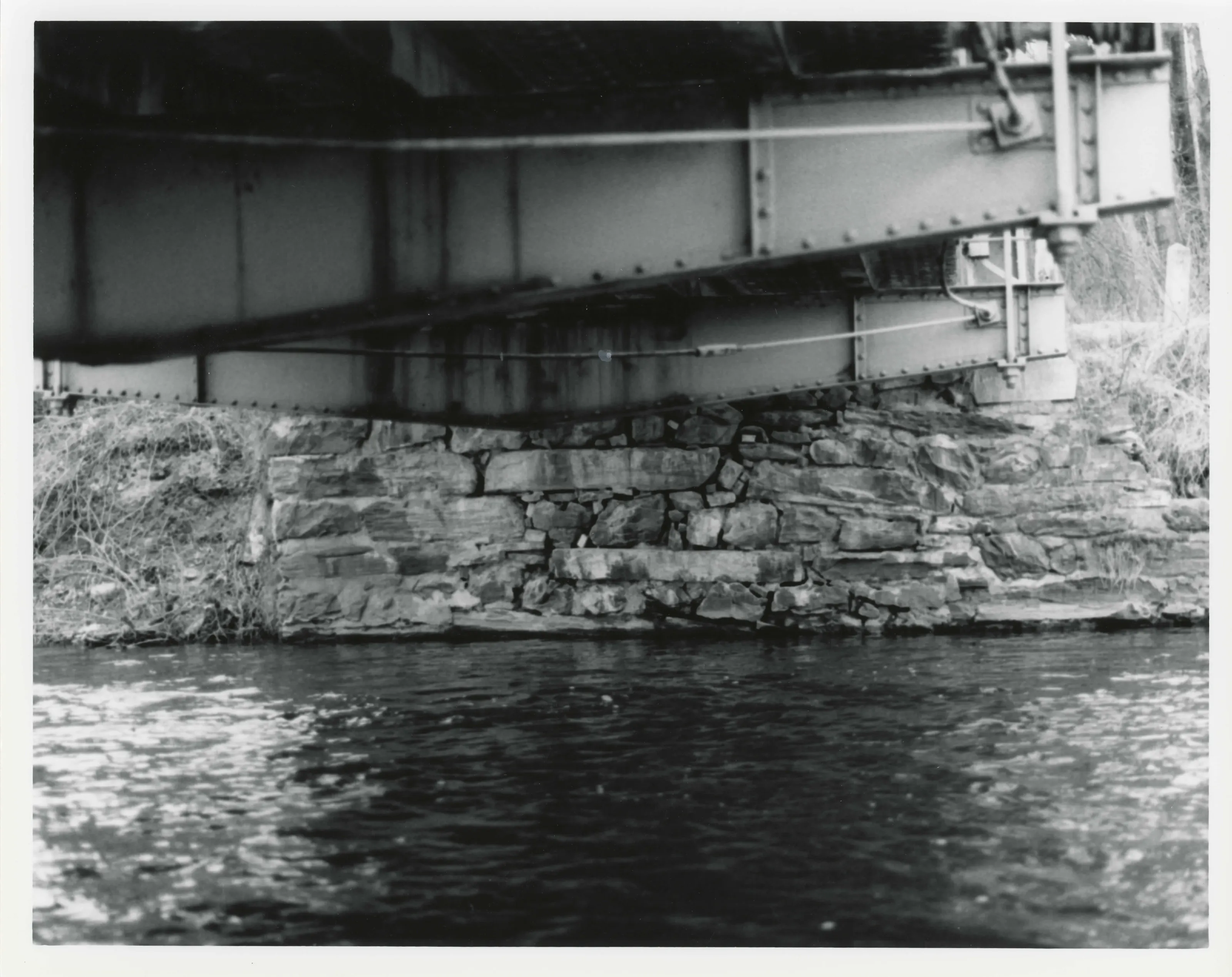
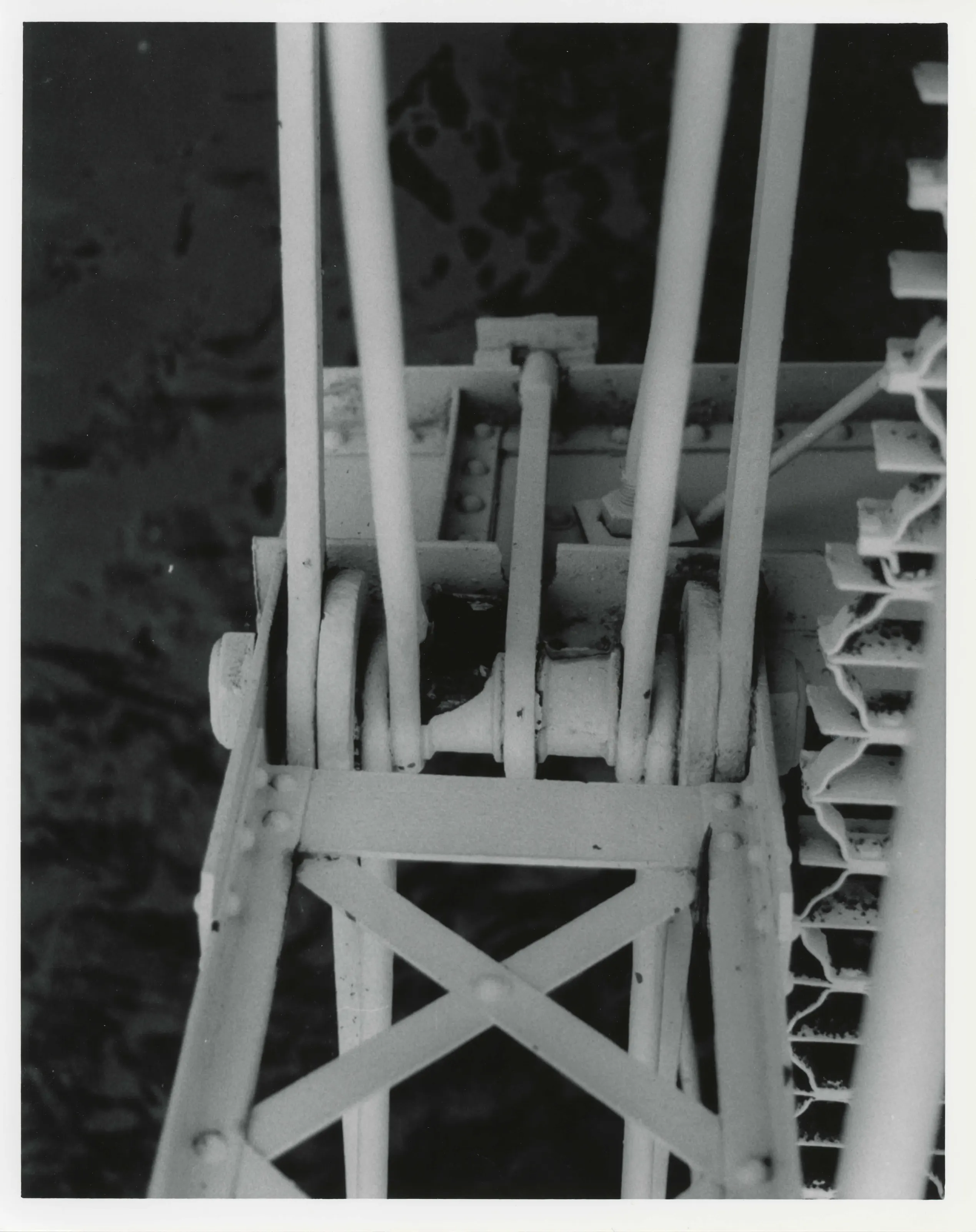
The lenticular design combined the strengths of an arch and a suspension bridge, which removed the need for heavy, expensive abutments.
“the elegant lenticular design with its parabolic chords combined the known strengths of an arch and a suspension bridge”
National Register nomination
Summary paraphrased from the nomination text; the form is linked below.
What the nomination says it is
The Golden Hill Bridge, also known as the Tuttle Bridge, spans the Housatonic River at Golden Hill Road in a rural area about one mile northeast of downtown Lee, Massachusetts, in the Berkshire Mountains. The bridge sits in a marshy bottomland just upstream from a large paper mill.
From the National Register nomination, 1994.
Why it is on the Register
First, the elegant lenticular design with its parabolic chords combined the known strengths of an arch and a suspension bridge; this eliminated the need for heavy, expensive abutments. Second, the firm specialized in highway bridges, and thus could afford to ignore the more demanding load requirements of the railroads. Third, the manufacturer trimmed production costs by making a single type of truss that required a set of standard parts. Fourth, salesmen aggressively pursued contracts with nearby towns that were just beginning to replace older wooden structures with iron bridges. Fifth, with lower production, transportation, and erection costs, the company could underbid many of its competitors from Boston, New York, and Philadelphia.
From the National Register nomination, 1994.
Quoted from the scanned form as the National Archives’ text layer reads it. Line breaks are joined; reading errors are left as they are.
Sources, rights and limits
- Listing facts. National Park Service, National Register of Historic Places spatial data, queried 6 November 2026: type, year listed, landmark status, map location. U.S. government work, public domain.
- Nomination text and areas of significance. National Archives catalog record 63794374, “Massachusetts SP Golden Hill Bridge”. National Register nomination forms are U.S. government records and public domain. The quoted text is the catalog’s text layer (machine reading of the scan, 2024-04-06), not a transcription.
- Photographs. Photographs are reproduced from the nomination file at the National Archives with the photographer’s credit as typed on the print; rights may remain with the photographer. Write to hello@parcenomics.com to have one removed.
- Location line. Address as in the Park Service layer.
- Outline. Town boundary from the Commonwealth’s town layer, generalized. Not a survey.