Great Barrington · National Register
Wheeler Family Farmstead
Historic district · listed 2011
- Type
- Historic district
- Town
- Great Barrington
- Listed
- 2011
- Location
- 817 S. Main St.
- Areas of significance
- Architecture; Art; Landscape Architecture; Social/Humanitarian
- Architectural classification
- Historical
- Reference number
- 11000614
About this listing
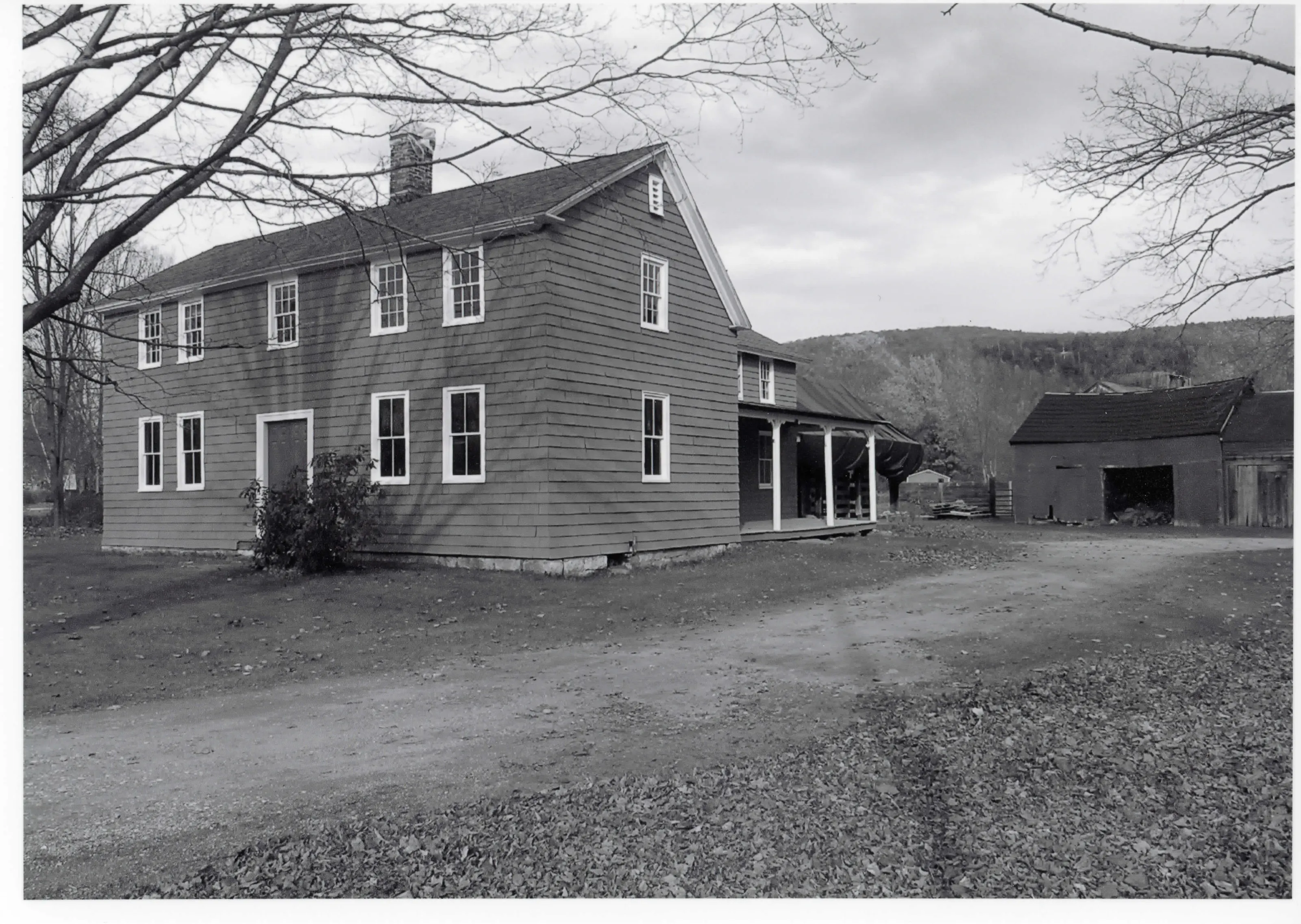
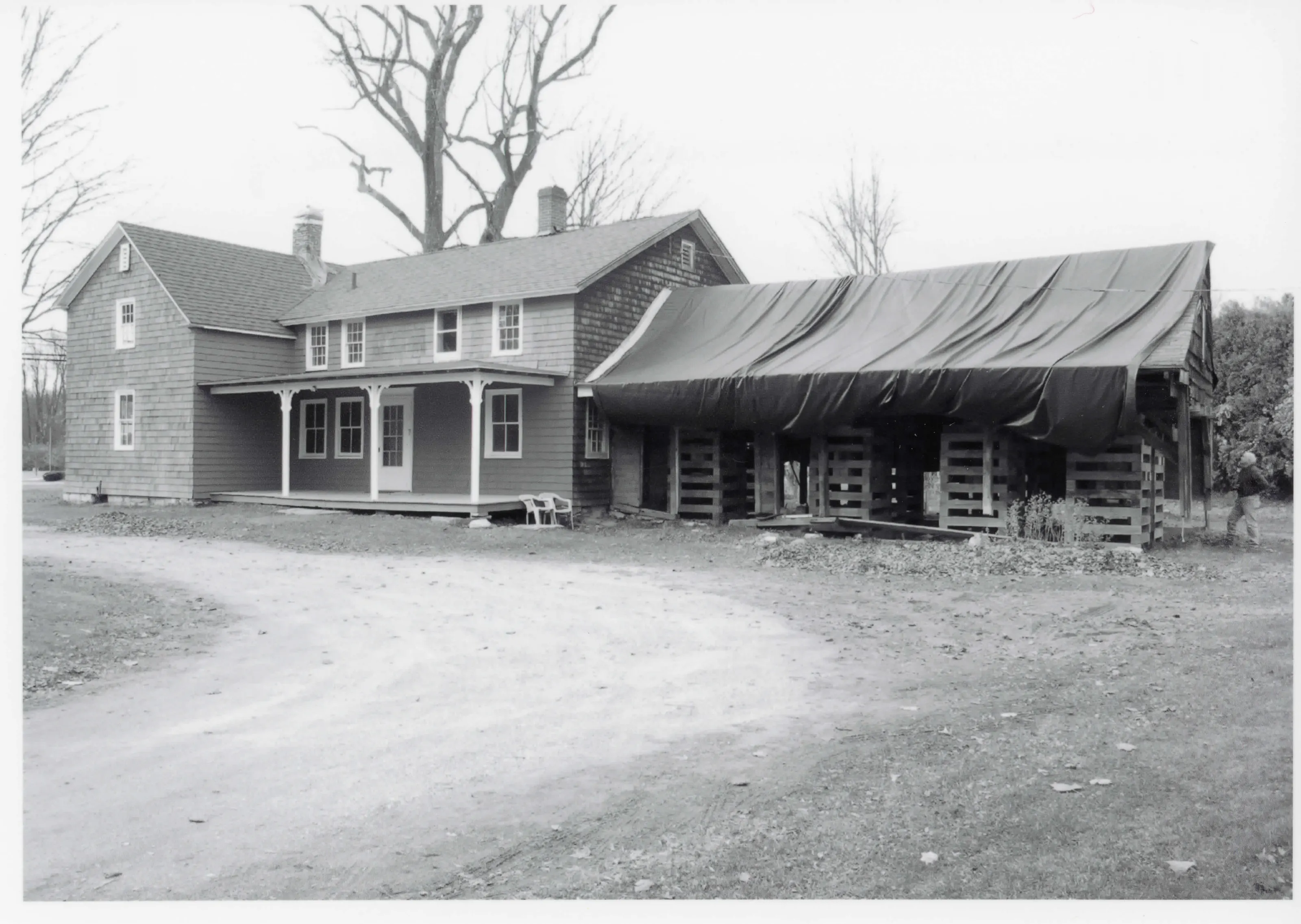
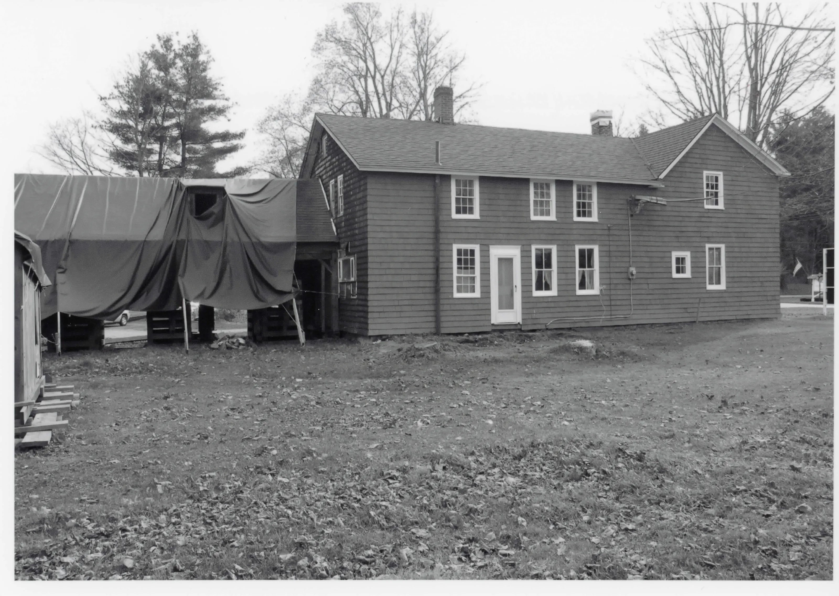
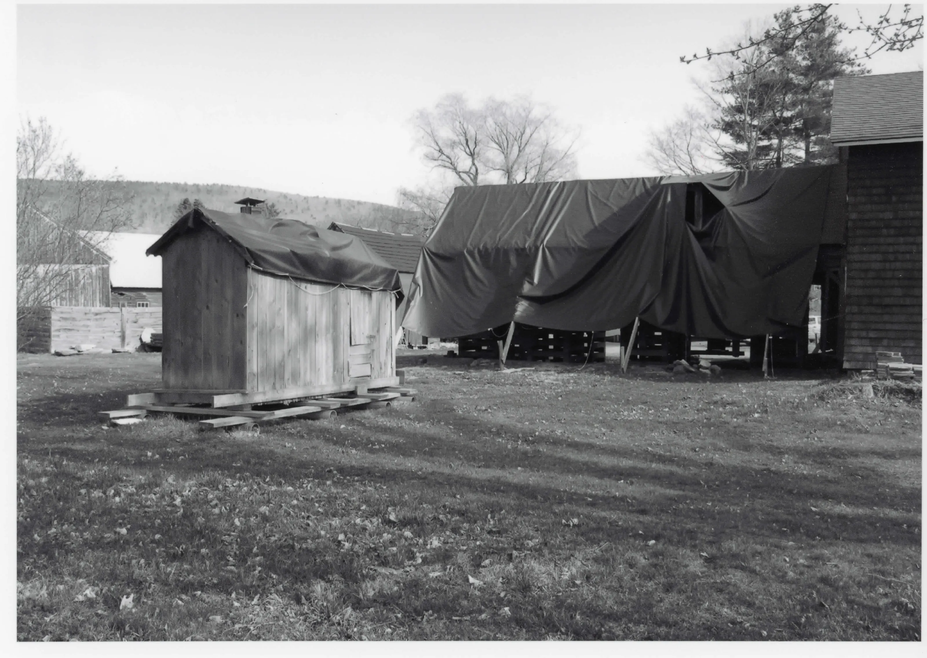
Farmstead on the southern edge of Great Barrington whose period of significance begins around 1733 with its oldest building. Listed for its link to the settlement and agricultural heritage of the town.
- Built
- ca. 1733 (oldest building)
- Significance and period
- Architecture; Art; Landscape Architecture (ca. 1733-)
“historically significant for its association with the settlement and commercial development of the town of Great Barrington”
National Register nomination
Summary paraphrased from the nomination text; the form is linked below.
What the nomination says it is
Summary Paragraph The Wheeler Family Farmstead is located on the southern edge of the town of Great Barrington, in the Berkshires of western Massachusetts. The once-rural area, with East Mountain a prominent eastern backdrop, has developed into a busy commercial strip along U.S. Route 7, which follows the course of the Housatonic River through Connecticut and Massachusetts.
From the National Register nomination, 2011.
Why it is on the Register
The Wheeler Family Farmstead meets National Register Criteria A, B, and C at a local level of significance. Under Criterion A, it is historically significant for its association with the settlement and commercial development of the town of Great Barrington, and for its broad representation of the agricultural heritage of the region.
From the National Register nomination, 2011.
Quoted from the scanned form as the National Archives’ text layer reads it. Line breaks are joined; reading errors are left as they are.
Nearby listings in Great Barrington
- Clinton African Methodist Episcopal Zion Church
- Du Bois, William E.B., Boyhood Homesite
- Dwight-Henderson House
- Housatonic Congregational Church
- Mahaiwe Block
- Monument Mills
- Ramsdell Public Library
- Rising Paper Mill
- Searles Castle
- Society of the Congregational Church of Great Barrington
- Taconic and West Avenues Historic District
- US Post Office--Great Barrington Main
Sources, rights and limits
- Listing facts. National Park Service, National Register of Historic Places spatial data, queried 6 November 2026: type, year listed, landmark status, map location. U.S. government work, public domain.
- Nomination text and areas of significance. National Archives catalog record 63794180, “Massachusetts SP Wheeler Family Farmstead”. National Register nomination forms are U.S. government records and public domain. The quoted text is the catalog’s text layer (machine reading of the scan, 2025-07-29), not a transcription.
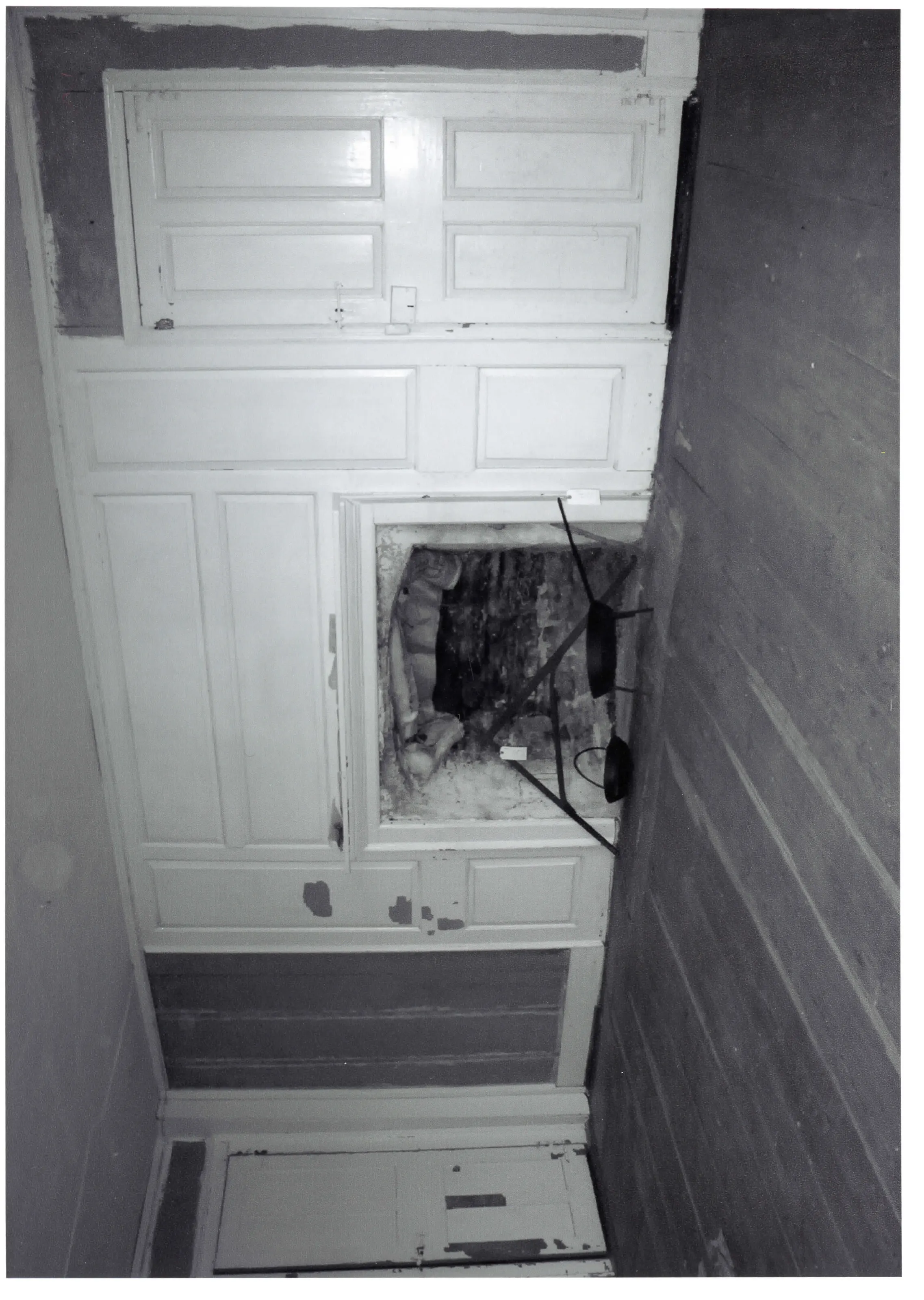
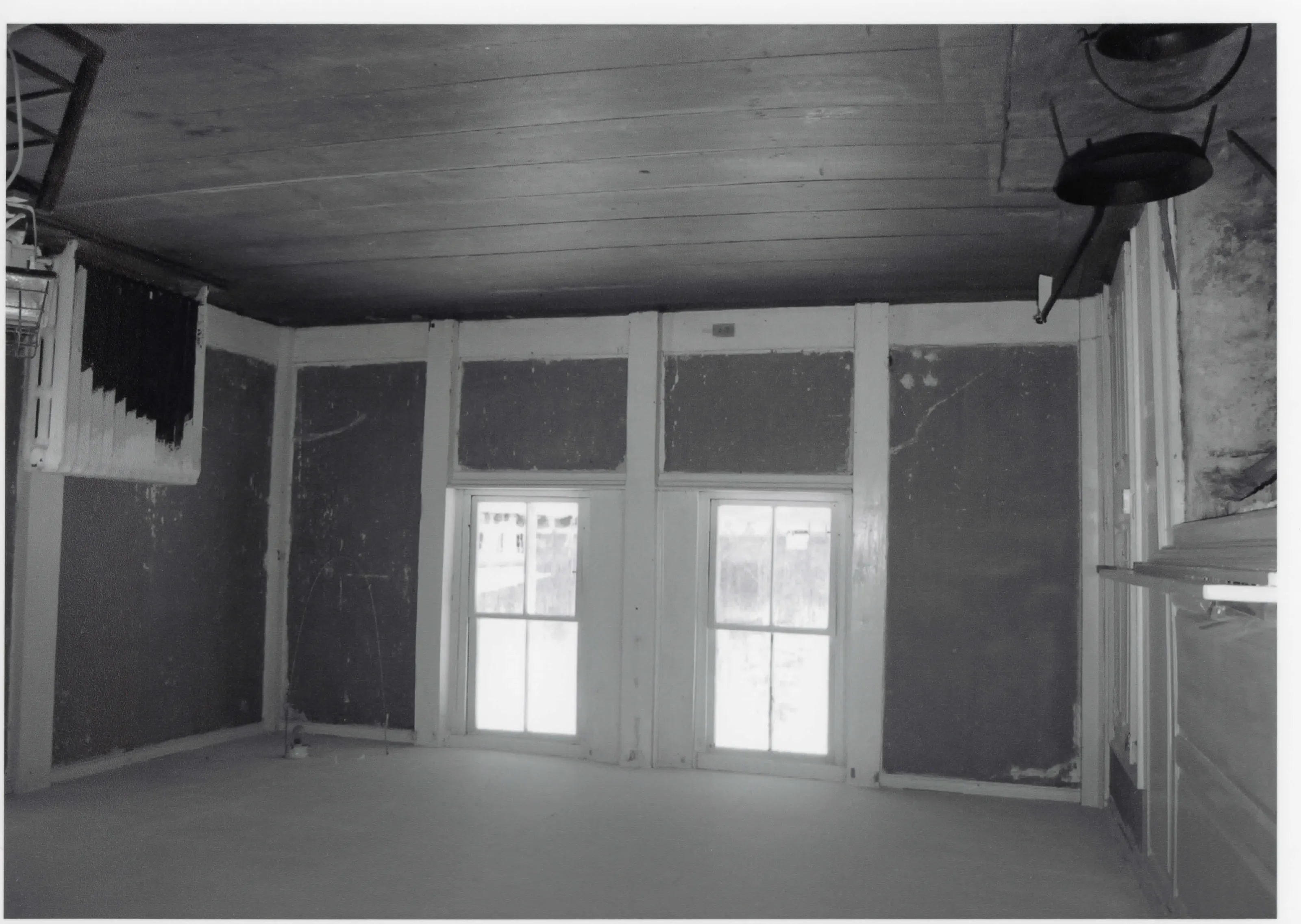
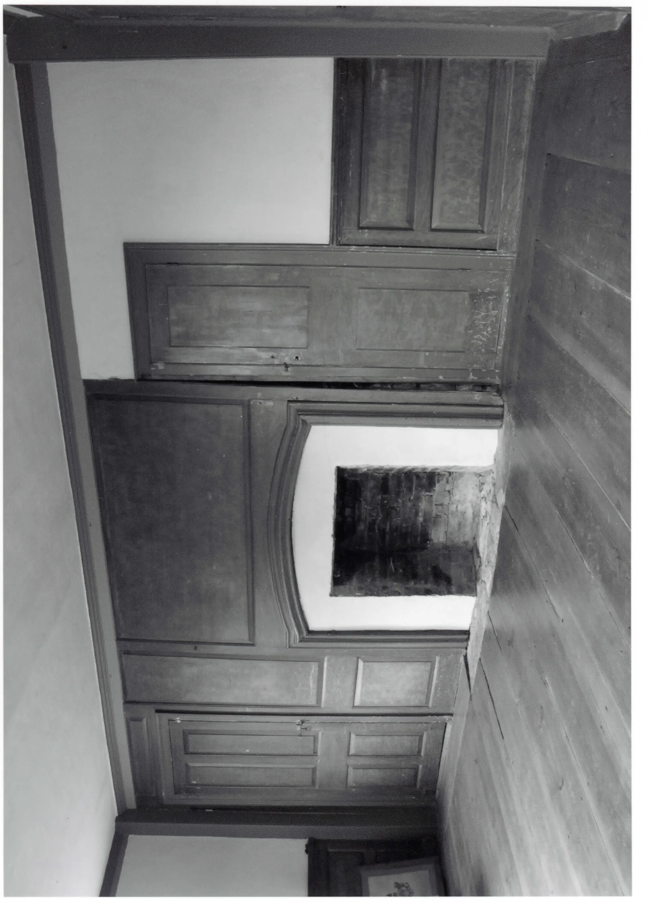
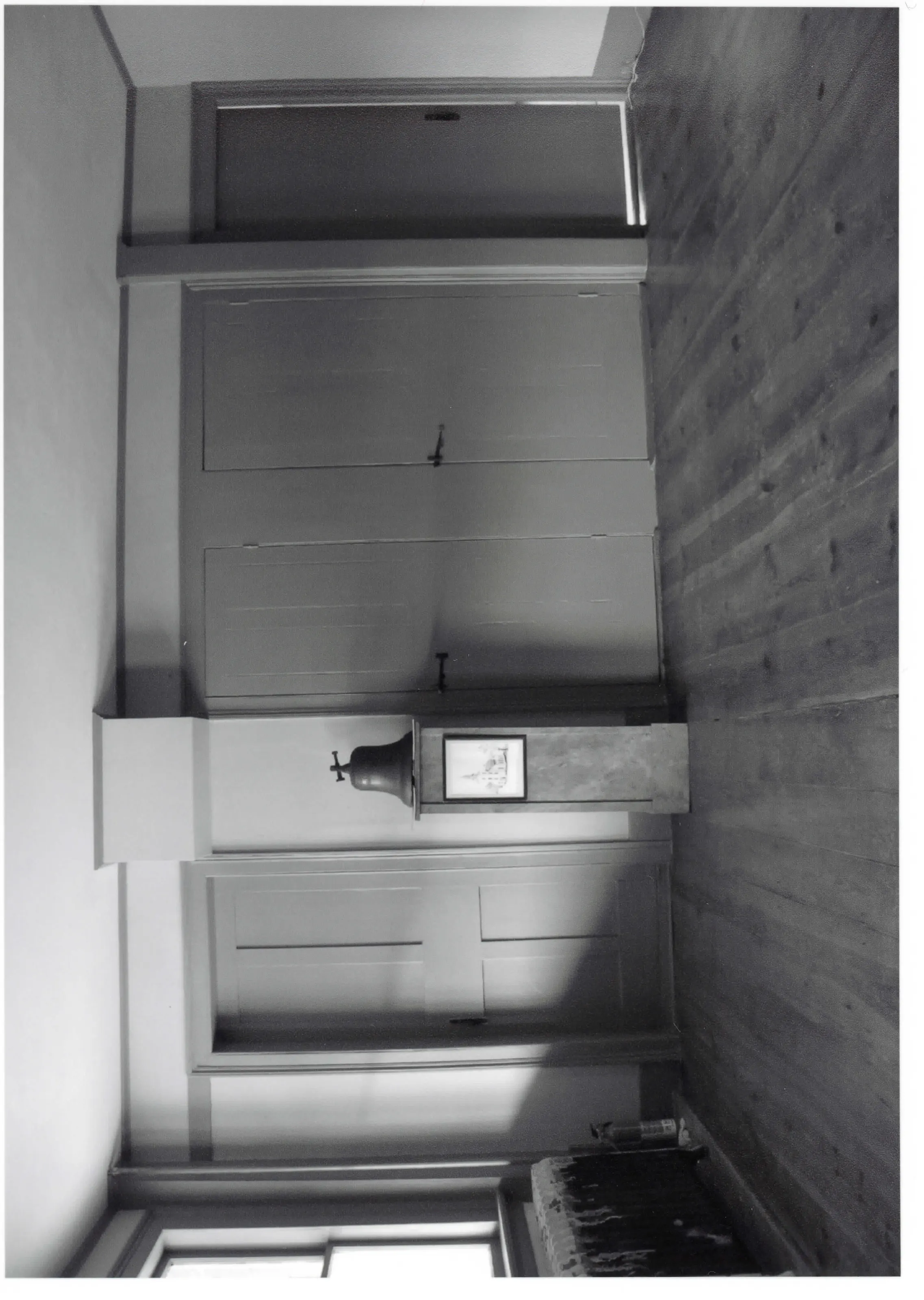
- Photographs. Photographs are reproduced from the nomination file at the National Archives with the photographer’s credit as typed on the print; rights may remain with the photographer. Write to hello@parcenomics.com to have one removed.
- Location line. Address as in the Park Service layer.
- Outline. Town boundary from the Commonwealth’s town layer, generalized. Not a survey.