Great Barrington · National Register
Taconic and West Avenues Historic District
Historic district · listed 1998
- Type
- Historic district
- Town
- Great Barrington
- Listed
- 1998
- Location
- Roughly bounded by Main St., Maple, West, and Taconic Aves., and Castle St.
- Areas of significance
- Architecture; Community Planning and Development; Religion
- Architectural classification
- Georgian; Adams; Early Classical Revival; Greek Revival; Gothic Revival; Italianate; Eastern Stick; Shingle; Queen Anne; Classical Revival; Tudor Revival; Colonial Revival; Bungalow; Craftsman
- Reference number
- 98000680
About this listing
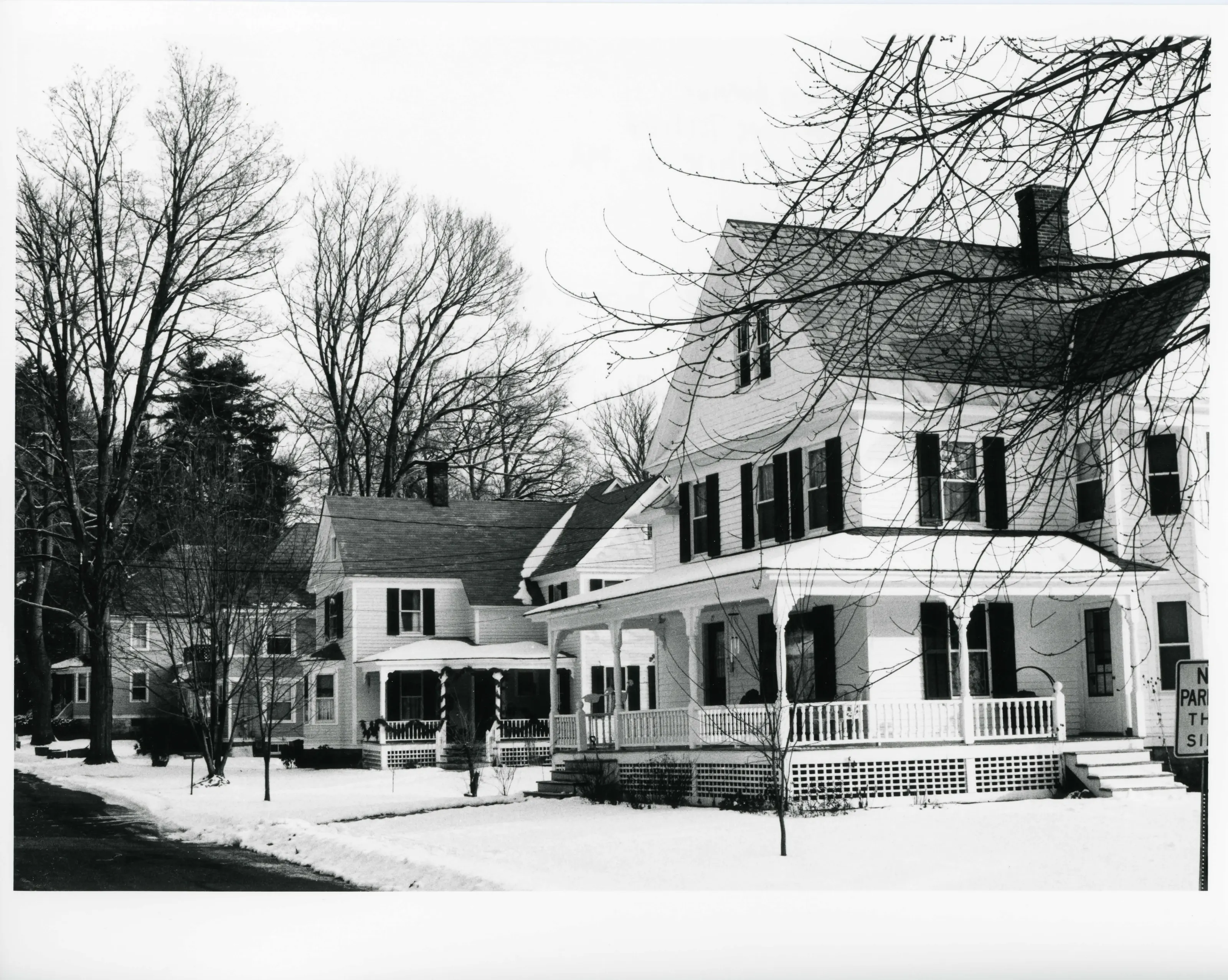
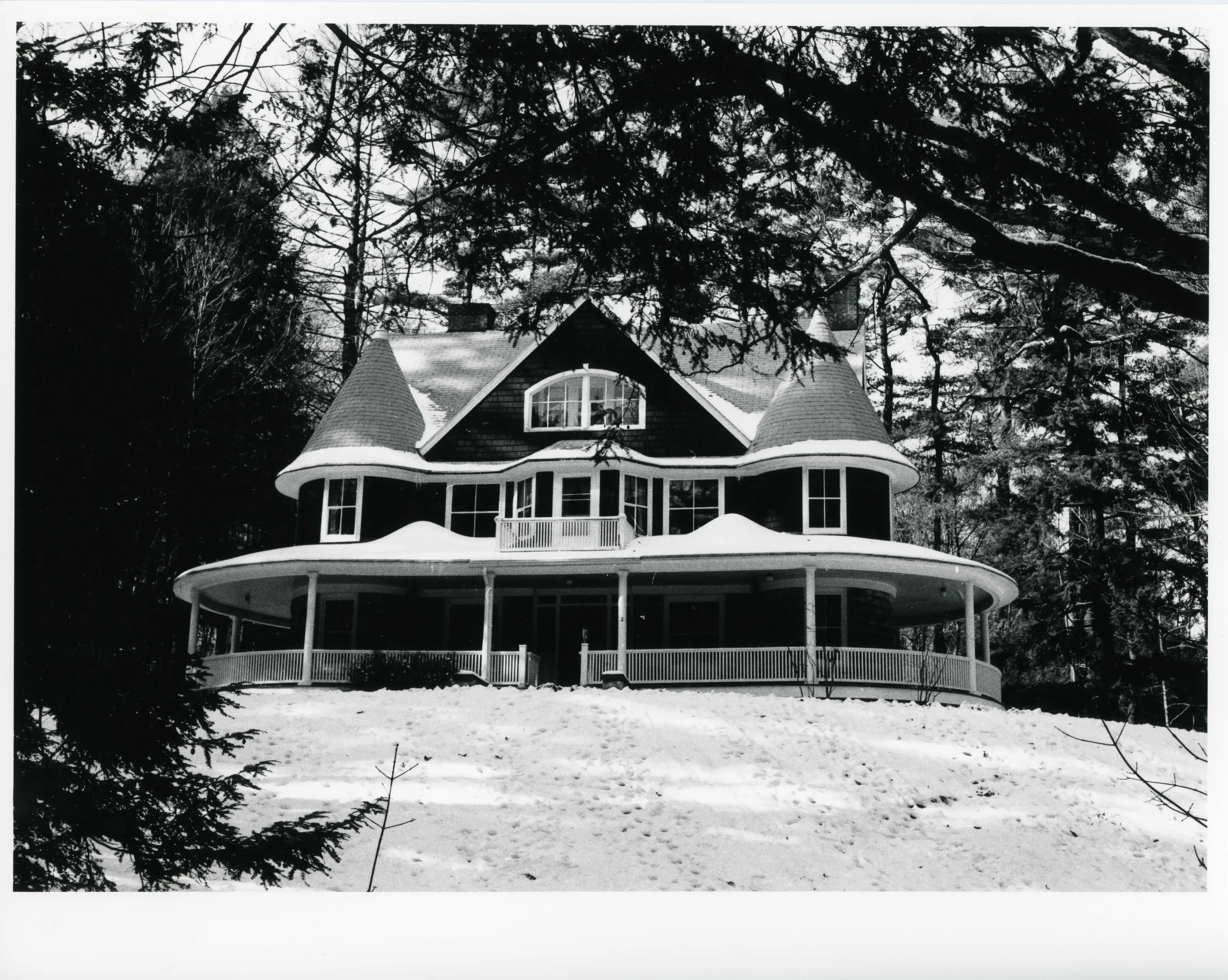
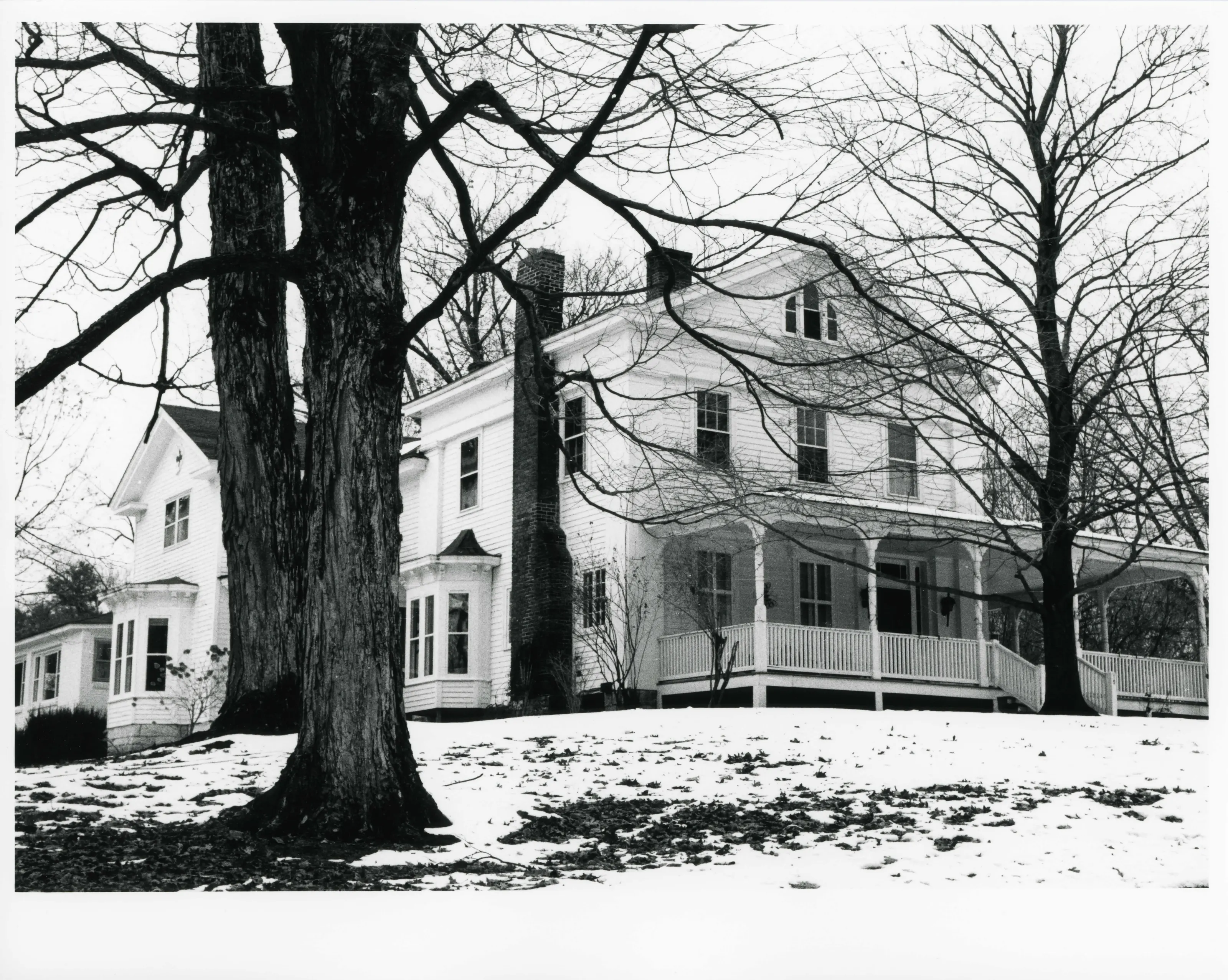
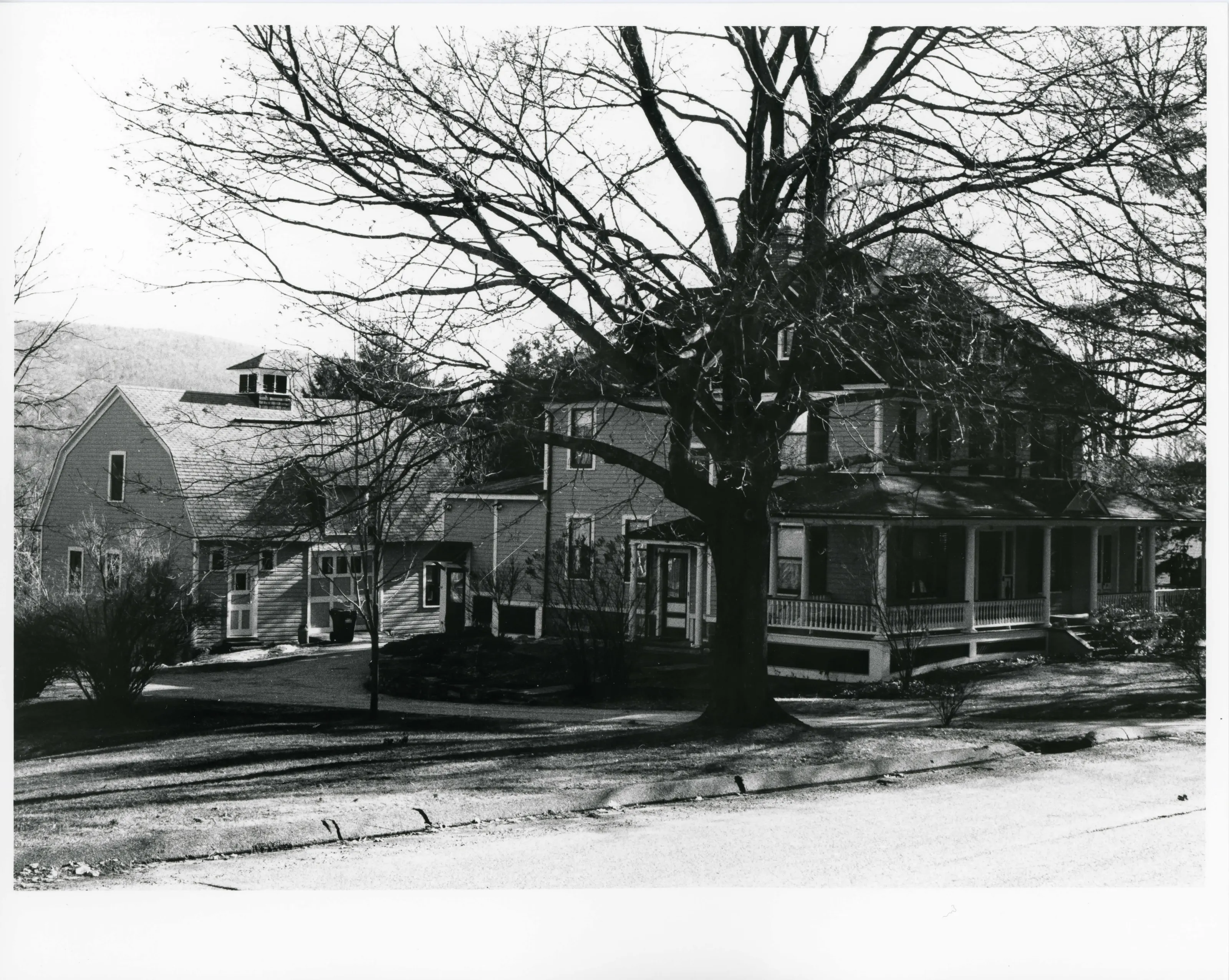
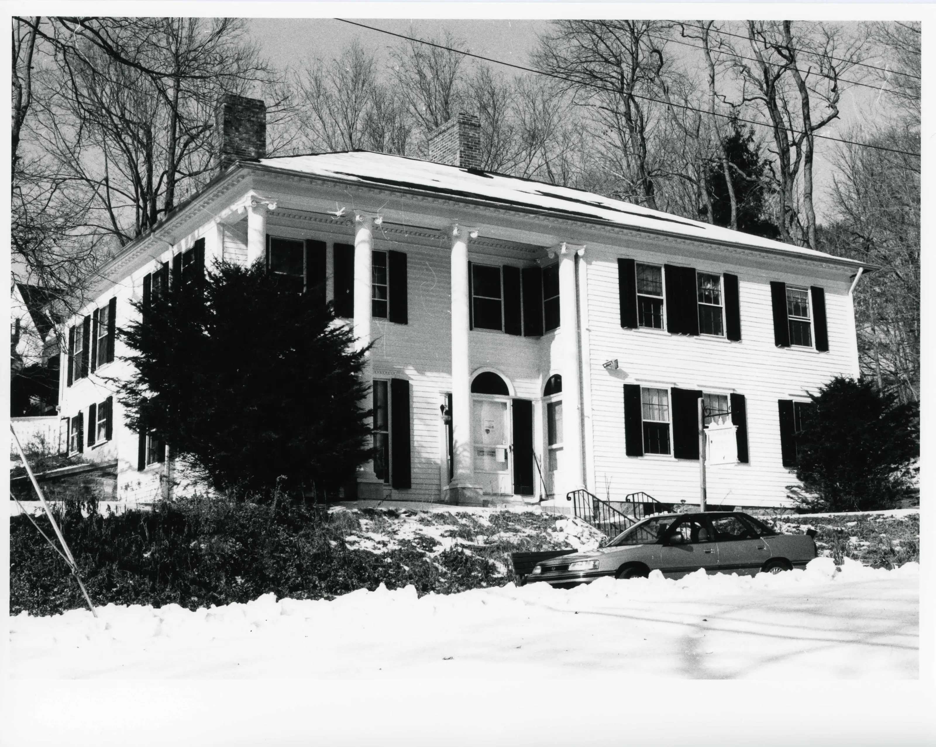
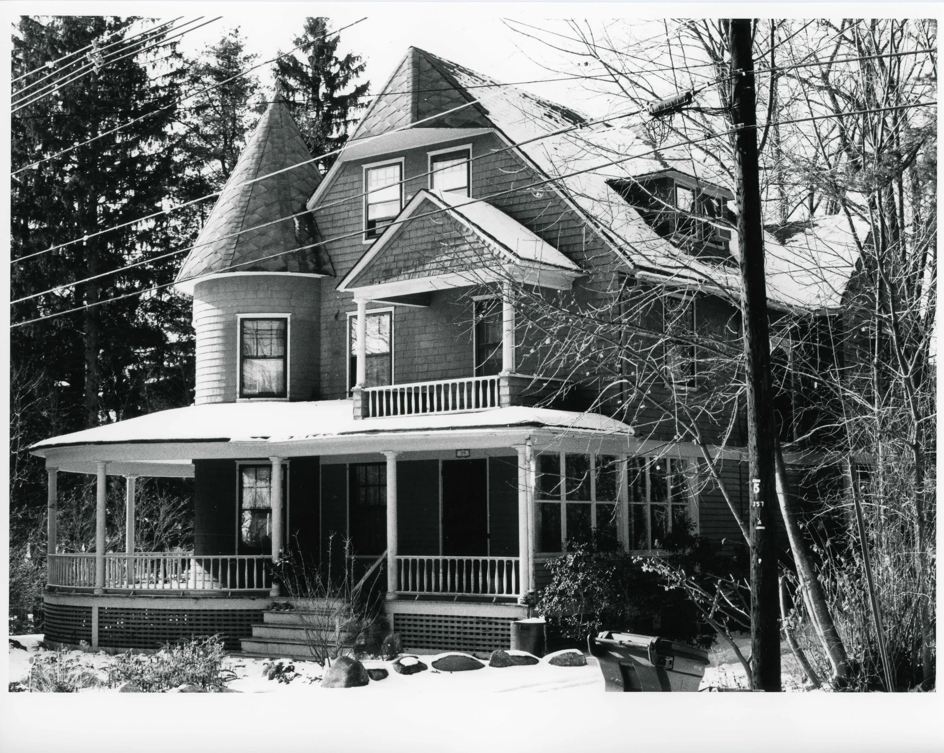
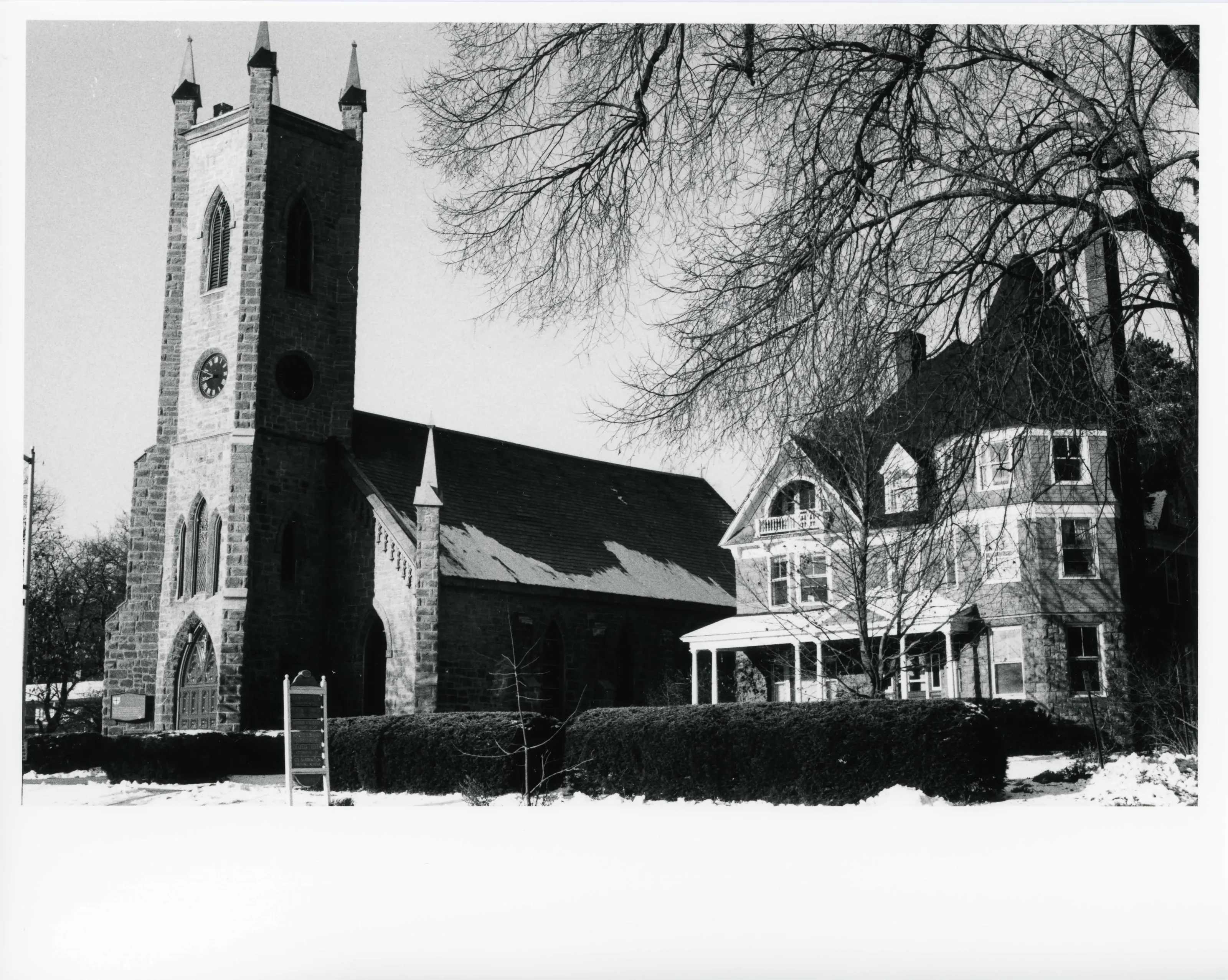
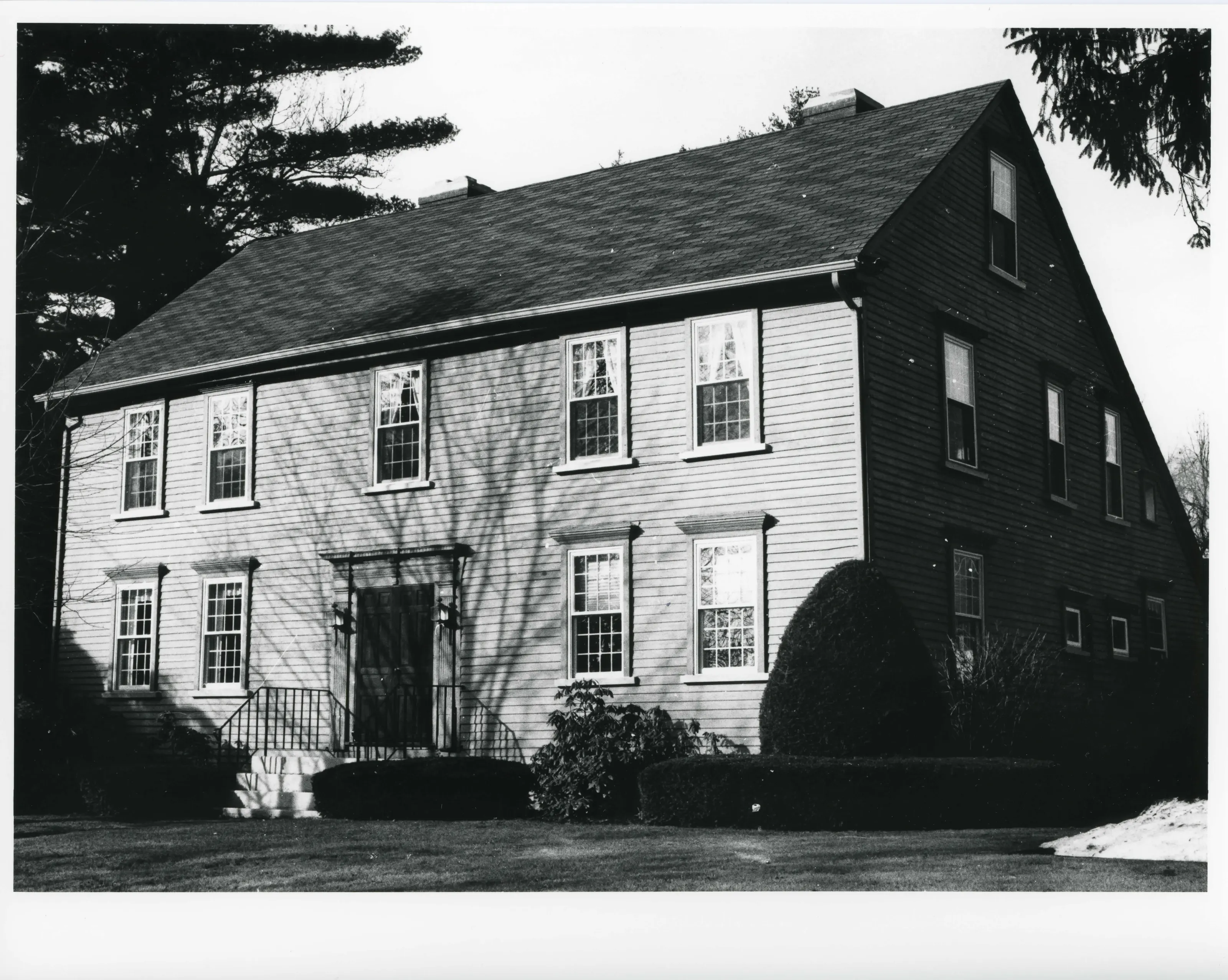
Hilly residential district of 117 acres southwest of Great Barrington's Main Street, known for Queen Anne, Colonial Revival and Shingle Style houses built mostly from 1890 to 1910 for leading manufacturers, retailers and summer residents. It has 172 contributing buildings and also holds a church, train depot and former sanitarium.
- Built
- 1745-1930
- Architect / builder
- Daniel Allen; Charles and Edward Evans; Arthur H. Decker; Frederick Spath; Amiel Mundry
- Style
- Queen Anne, Colonial Revival, Shingle Style
- Significance and period
- Architecture; Community Planning and Development; Religion (1745-1930)
- People named
- Rev. Samuel Hopkins; William Cullen Bryant; W.E.B. Du Bois; Joseph Dwight; Asa C. Russell; George Church
Rev. Samuel Hopkins built his house on Castle Hill in 1745; its foundation remains in the Castle Hill Farmhouse. A Russell family housekeeper was the mother of W.E.B. Du Bois, who had the run of the Russell library.
“an outstanding concentration of elaborate turn-of-the-century houses reflecting the work of local builders using local materials”
National Register nomination
Summary paraphrased from the nomination text; the form is linked below.
What the nomination says it is
On the south side of Taconic Avenue and its extension, Barrington Place, where there is an impressive uninterrupted row of thirteen sizable turn-of-the-century houses, setbacks and lot sizes are also consistent (photo 14). On the west side of Main Street, lots to the north are closely spaced; south of the South Street intersection on Main they become large and expansive.
From the National Register nomination, 1998.
Quoted from the scanned form as the National Archives’ text layer reads it. Line breaks are joined; reading errors are left as they are.
Nearby listings in Great Barrington
- Clinton African Methodist Episcopal Zion Church
- Du Bois, William E.B., Boyhood Homesite
- Dwight-Henderson House
- Housatonic Congregational Church
- Mahaiwe Block
- Monument Mills
- Ramsdell Public Library
- Rising Paper Mill
- Searles Castle
- Society of the Congregational Church of Great Barrington
- US Post Office--Great Barrington Main
- Wheeler Family Farmstead
Sources, rights and limits
- Listing facts. National Park Service, National Register of Historic Places spatial data, queried 6 November 2026: type, year listed, landmark status, map location. U.S. government work, public domain.
- Nomination text and areas of significance. National Archives catalog record 63794238, “Massachusetts SP Taconic and West Avenues Historic District”. National Register nomination forms are U.S. government records and public domain. The quoted text is the catalog’s text layer (machine reading of the scan), not a transcription.
- Photographs. Photographs are reproduced from the nomination file at the National Archives with the photographer’s credit as typed on the print; rights may remain with the photographer. Write to hello@parcenomics.com to have one removed.
- Location line. Address as in the Park Service layer.
- Outline. Town boundary from the Commonwealth’s town layer, generalized. Not a survey.