Dalton · National Register
Main Street Cemetery
Site · listed 2000
- Type
- Site
- Town
- Dalton
- Listed
- 2000
- Location
- Main St.
- Areas of significance
- Architecture; Art; Landscape Architecture; Social History
- Architectural classification
- Late Gothic Revival
- Reference number
- 00000502
About this listing
Cemetery of 10.2 acres on Main Street in Dalton, started as a churchyard on the site of the town's first meetinghouse. It holds over 850 lots in a parklike setting, with monuments from 1788 to the present. A Gothic Revival chapel and receiving vault of 1907 and a concrete wall also contribute.
- Built
- 1788; chapel and receiving vault 1907
- Architect / builder
- Harding & Seaver (architects, Pittsfield)
- Style
- Rural cemetery landscape; Late Gothic Revival chapel
- Significance and period
- Landscape Architecture; Art; Exploration/Settlement; Social History
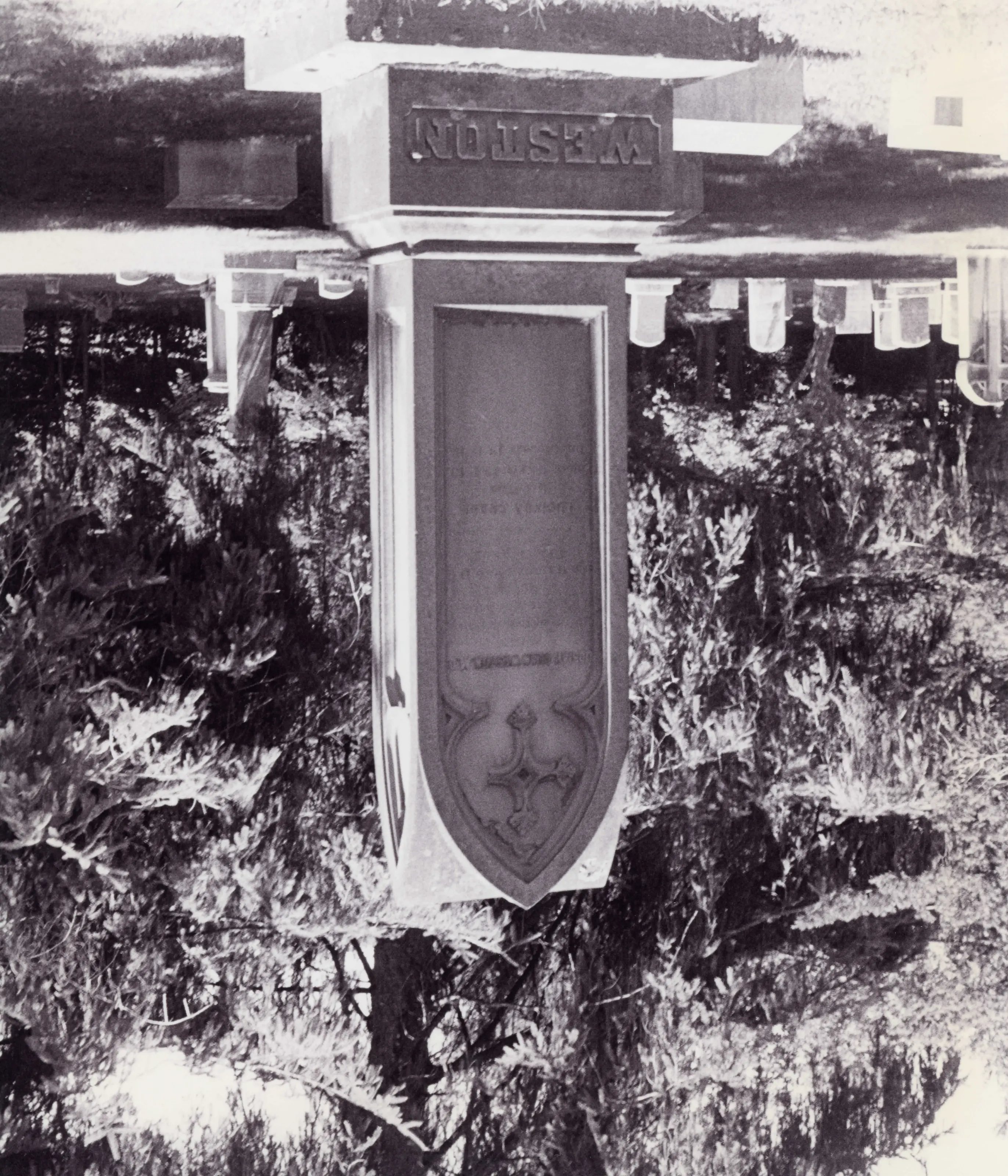
Land, the chapel and receiving vault, and the concrete wall were gifts from Dalton's industrial families. Members of the Crane, Weston, Carson, Brown and Glennon families served as trustees.
“represents a continuum of cemetery styles and usage, from a late-eighteenth-century churchyard burial ground”
National Register nomination
Summary paraphrased from the nomination text; the form is linked below.
What the nomination says it is
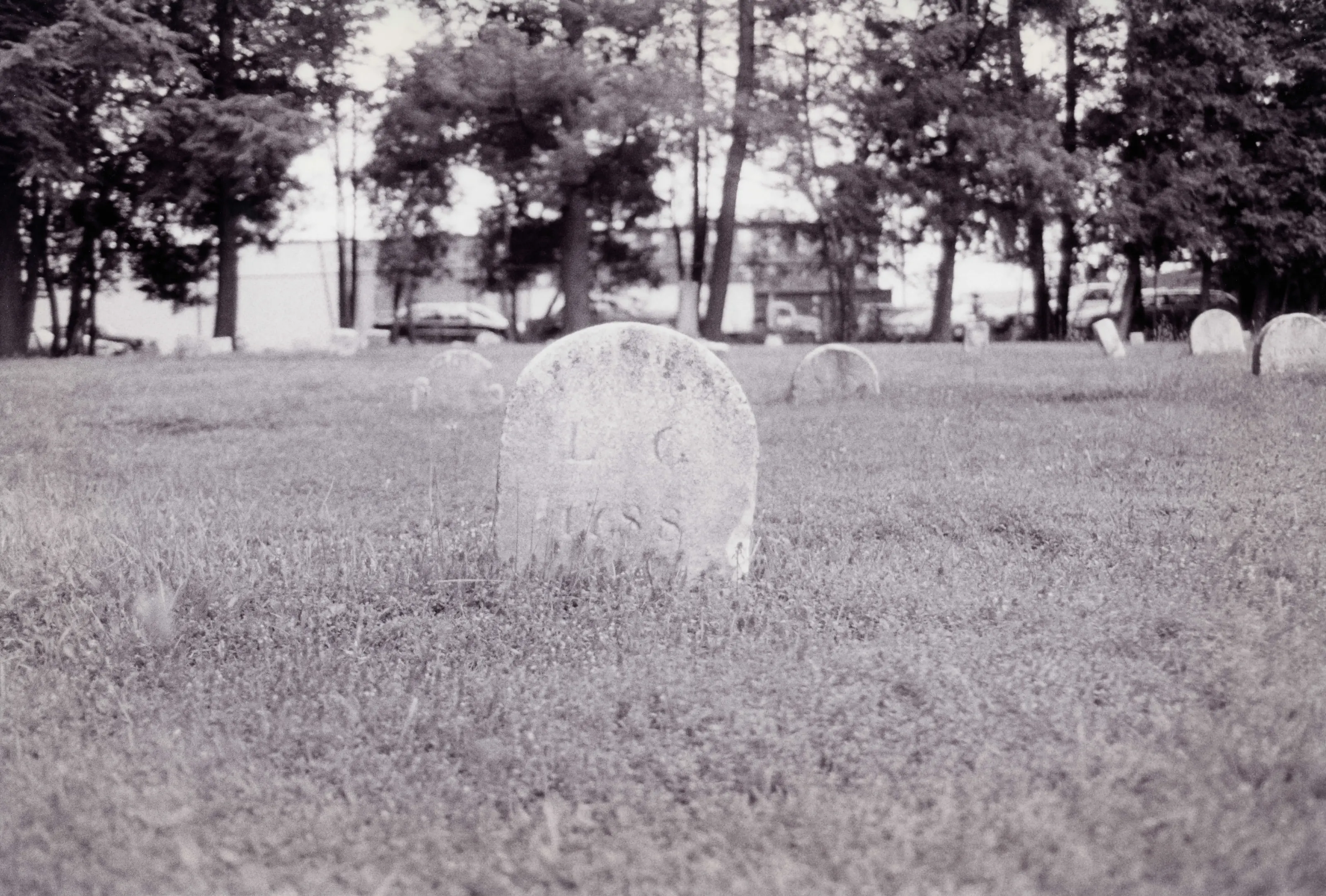
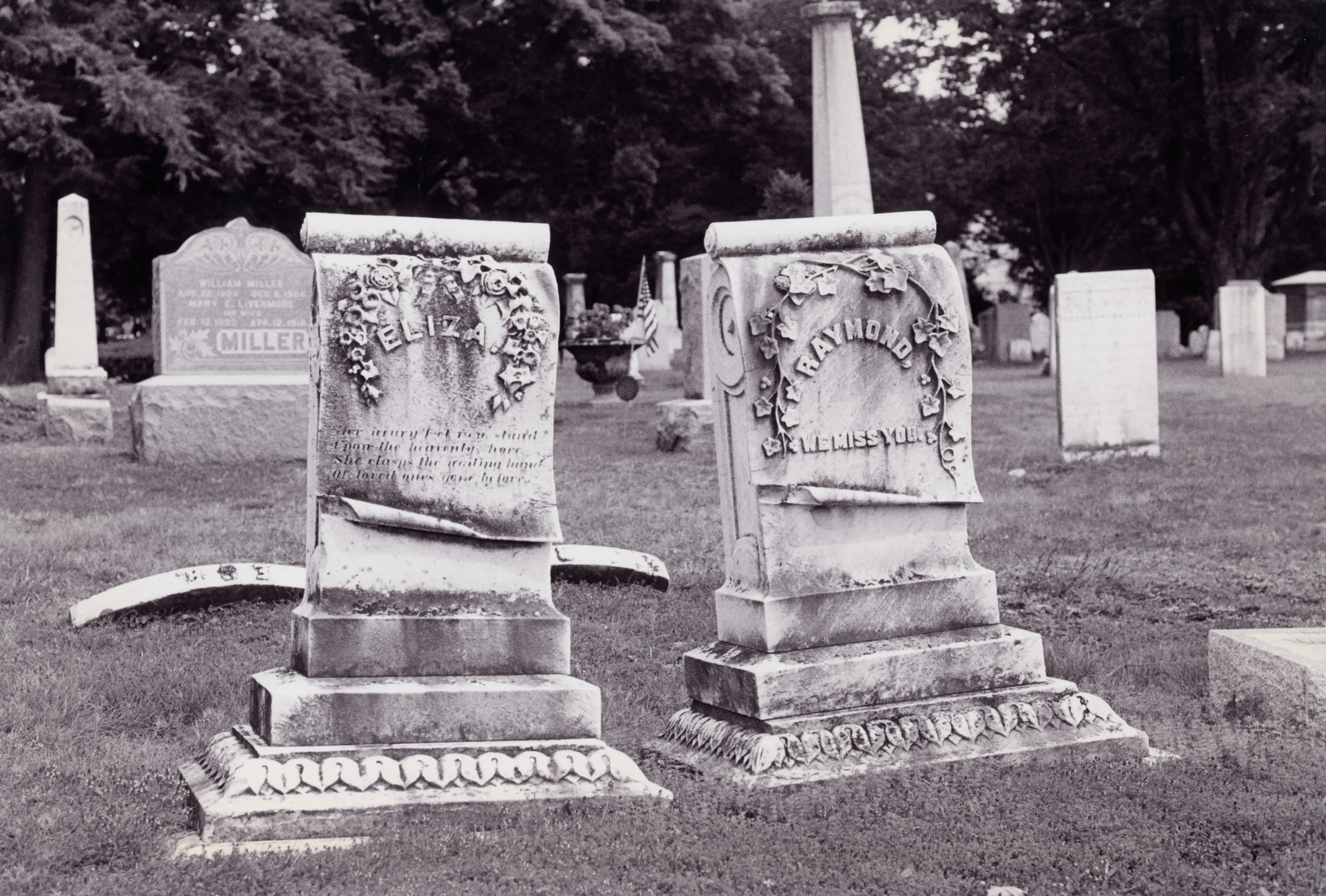
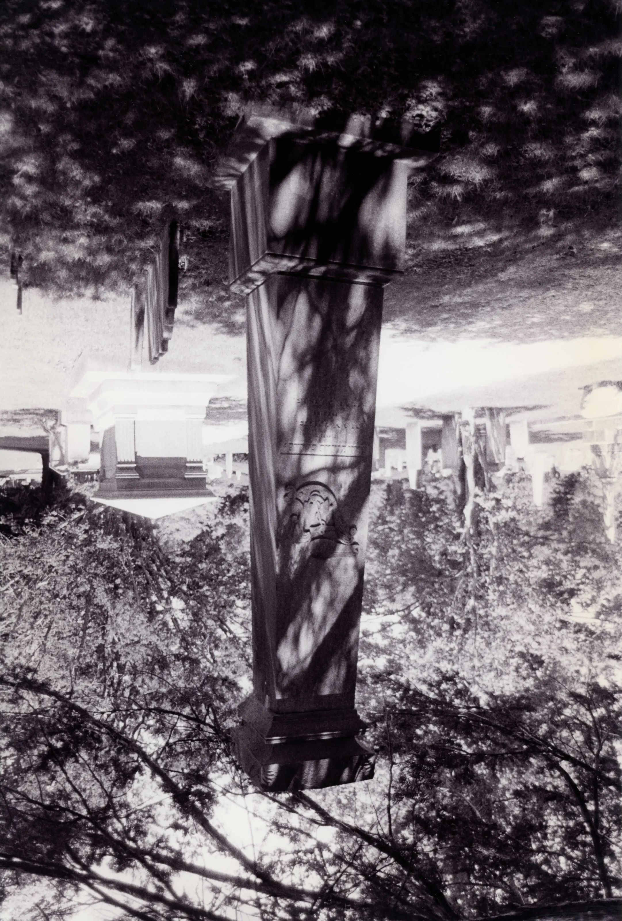
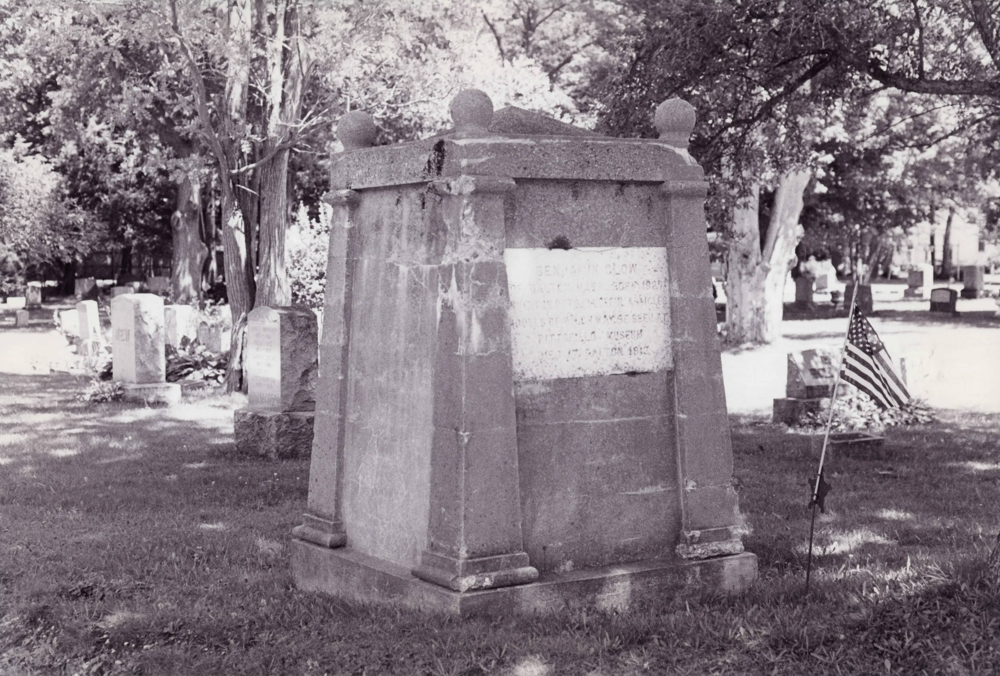
Dalton's Main Street Cemetery, situated on 10.2 acres of land containing over 850 lots, is laid out in a landscaped, parklike setting, with mature deciduous and evergreen trees and shrubs shading family plots marked by monuments (dating from 1788 to the present) in a variety of styles and materials, from tiny stones marked with faded initials to obelisks, pedestals, table, and altar-shaped monuments. The earliest known burial appears to be 1788.
From the National Register nomination, 2000.
Why it is on the Register
Dalton's Main Sfreet Cemetery represents a continuum of cemetery styles and usage, from a lateeighteenth-century churchyard burial ground to a mid-nineteenth-century graveyard embodying the ideals of the mral cemetery movement.
From the National Register nomination, 2000.
Quoted from the scanned form as the National Archives’ text layer reads it. Line breaks are joined; reading errors are left as they are.
Sources, rights and limits
- Listing facts. National Park Service, National Register of Historic Places spatial data, queried 6 November 2026: type, year listed, landmark status, map location. U.S. government work, public domain.
- Nomination text and areas of significance. National Archives catalog record 63794178, “Massachusetts SP Main Street Cemetery”. National Register nomination forms are U.S. government records and public domain. The quoted text is the catalog’s text layer (machine reading of the scan, 2025-07-29), not a transcription.
- Photographs. Photographs are reproduced from the nomination file at the National Archives with the photographer’s credit as typed on the print; rights may remain with the photographer. Write to hello@parcenomics.com to have one removed.
- Location line. Address as in the Park Service layer.
- Outline. Town boundary from the Commonwealth’s town layer, generalized. Not a survey.