Dalton · National Register
Fairview Cemetery
Site · listed 2000
- Type
- Site
- Town
- Dalton
- Listed
- 2000
- Location
- Curtis Ave.
- Areas of significance
- Art; Landscape Architecture; Social History
- Reference number
- 00000483
About this listing
Cemetery of 6.3 acres north of Main Street in Dalton, opened in 1885 and used mainly by the town's working and middle class Irish Catholic residents. It has over 750 plots, curving drives and a grid of uniform lots, with mostly gray granite headstones. Burials continue to the present.
- Built
- 1885
- Style
- Late 19th-century rural cemetery with gridded lots
- Significance and period
- Landscape Architecture; Art; Social History; Religion; Ethnic Heritage (1885-mid-20th century)
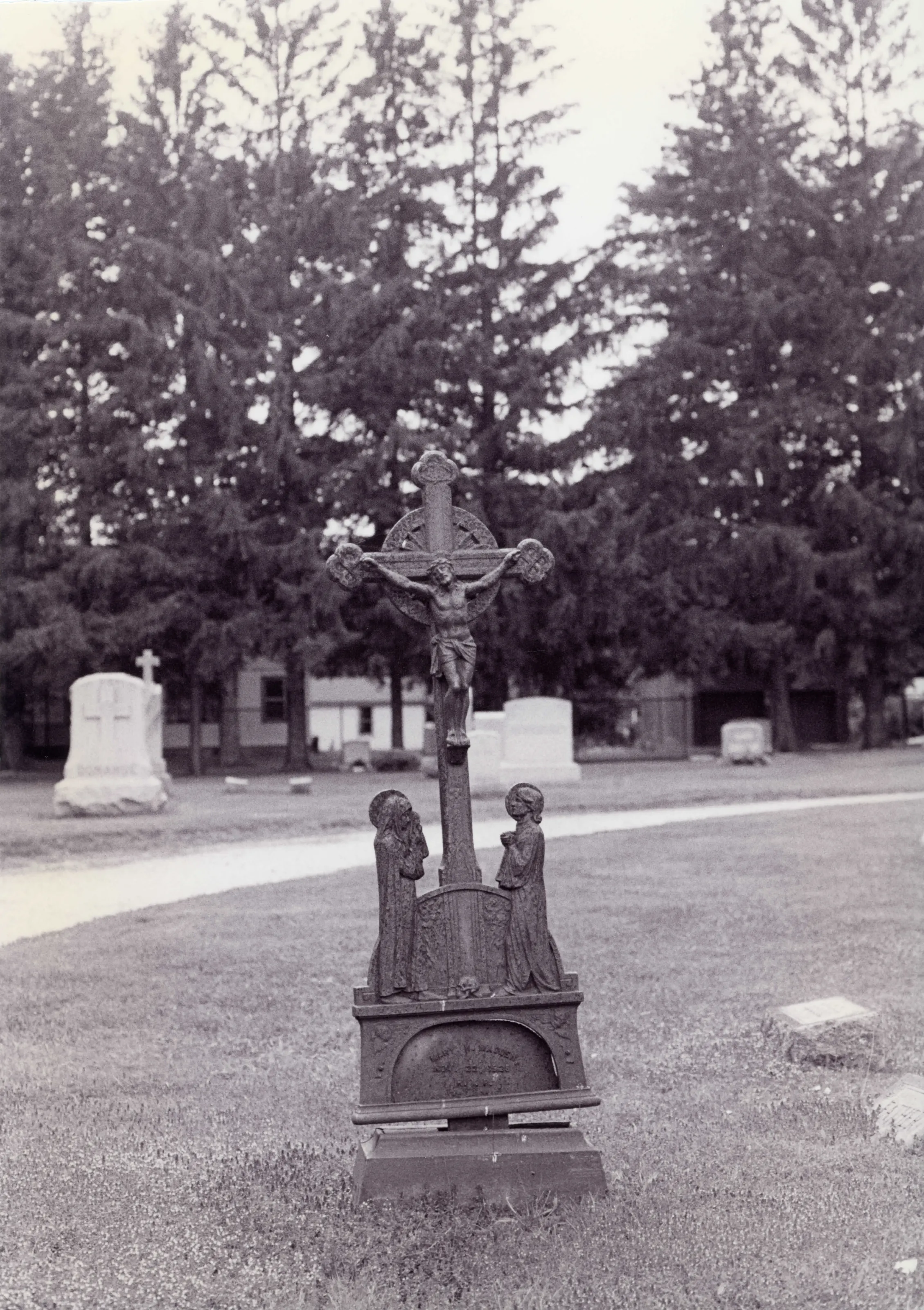
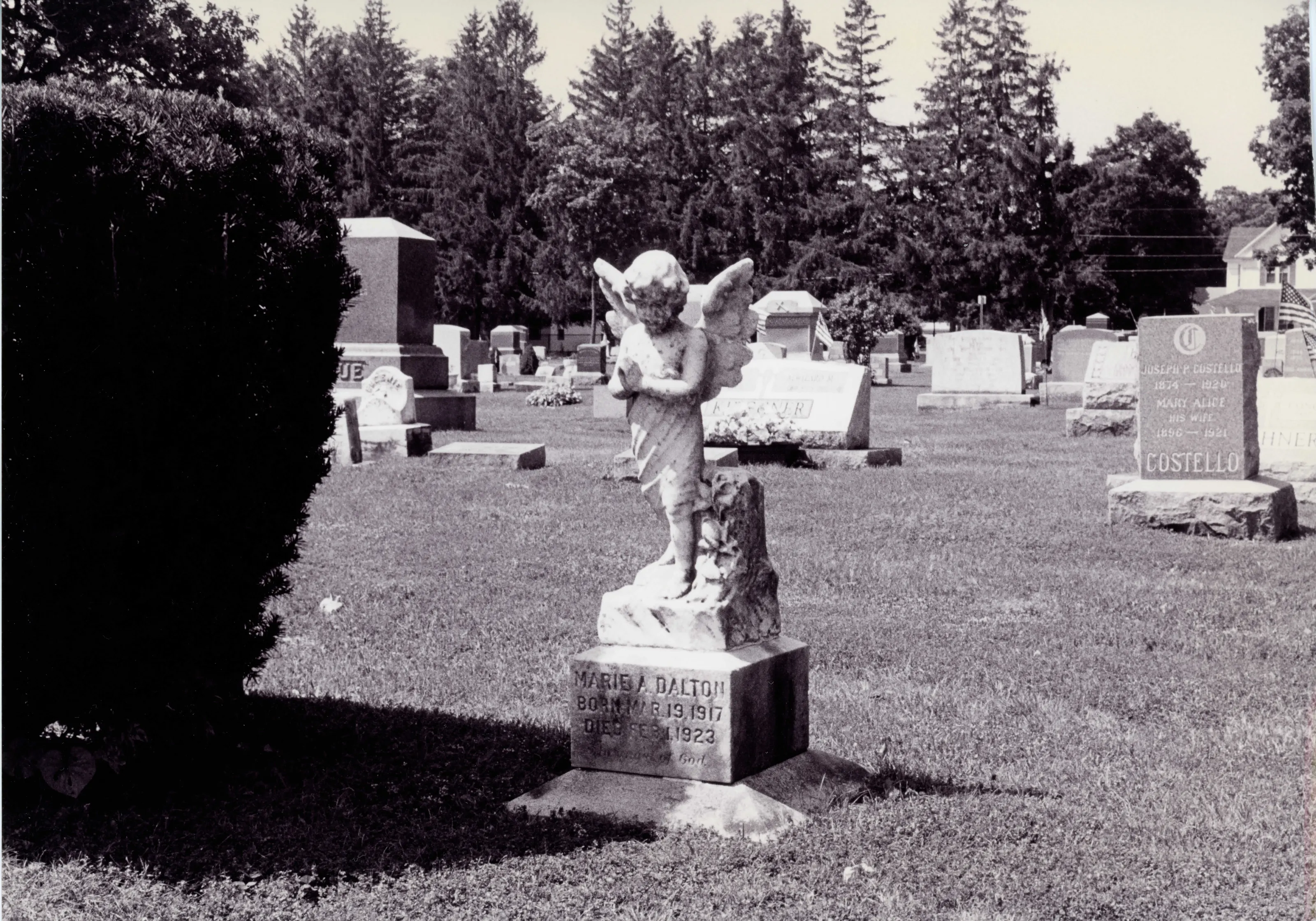
Four acres smaller than Dalton's Main Street Cemetery (established 1788), it holds nearly the same number of plots. Its stones carry many Irish surnames and Catholic symbols from the mill-town immigration.
“a small late-nineteenth century burial ground used primarily by Dalton's working and middle class Irish-Catholic residents”
National Register nomination
Summary paraphrased from the nomination text; the form is linked below.
What the nomination says it is
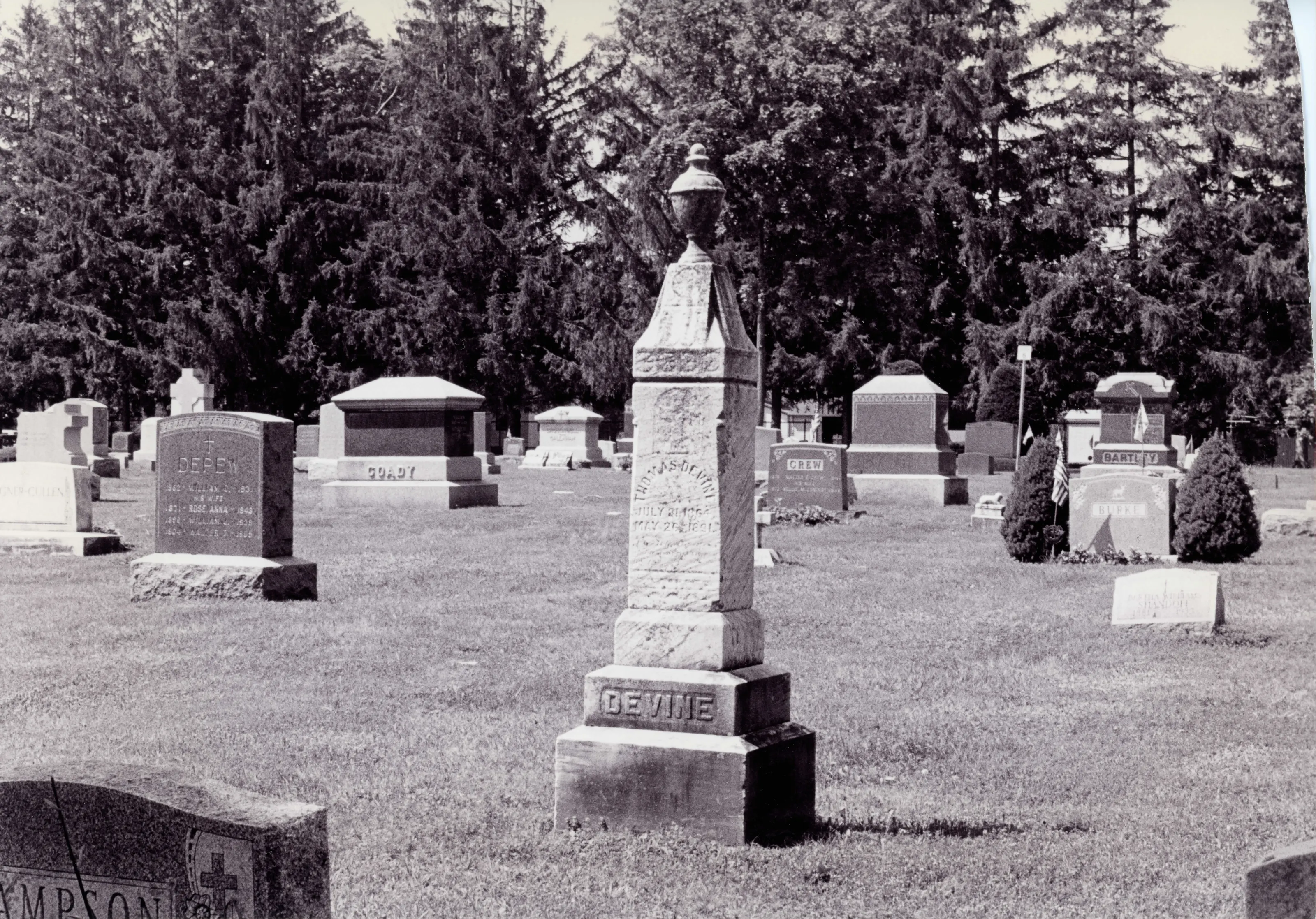
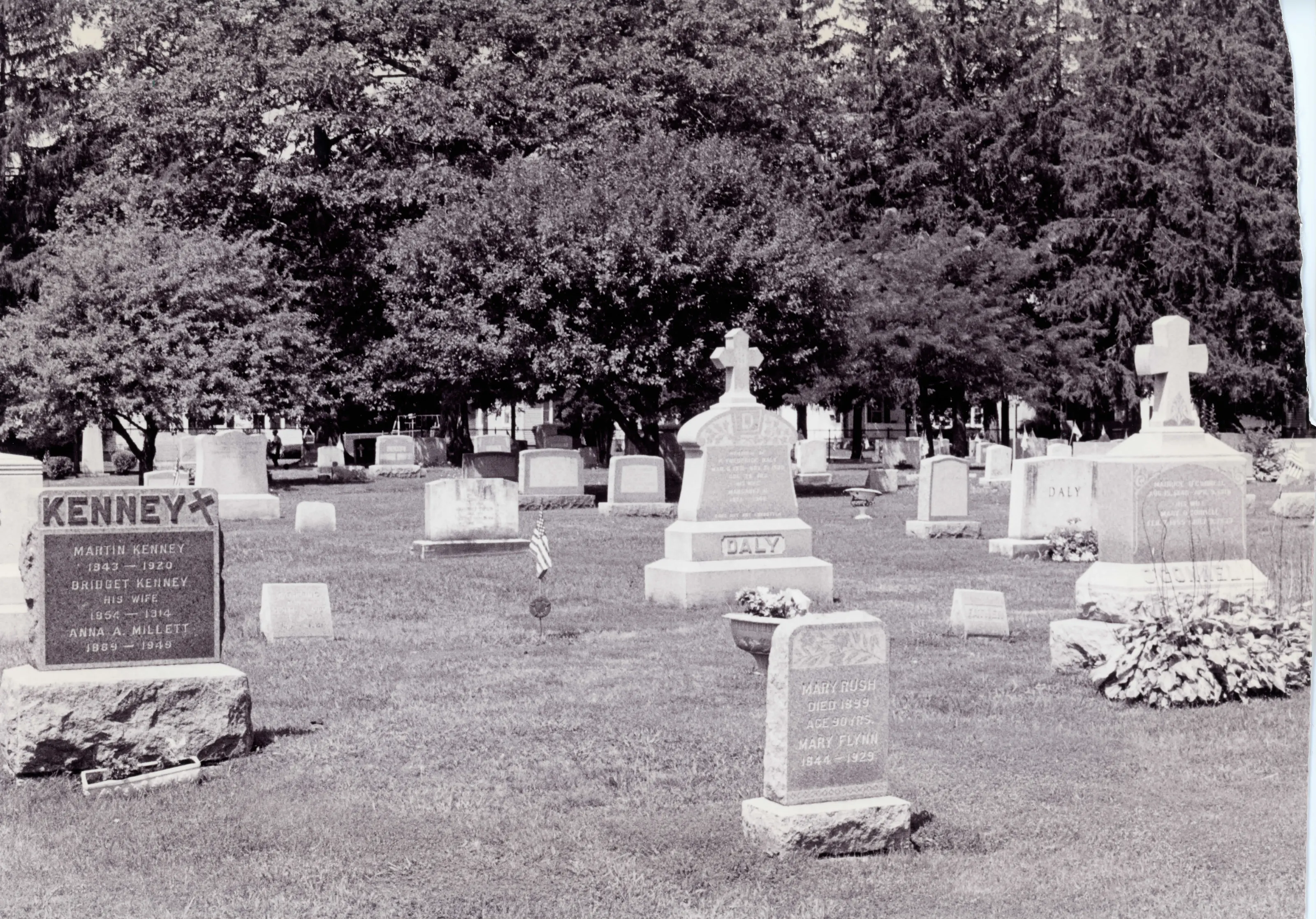
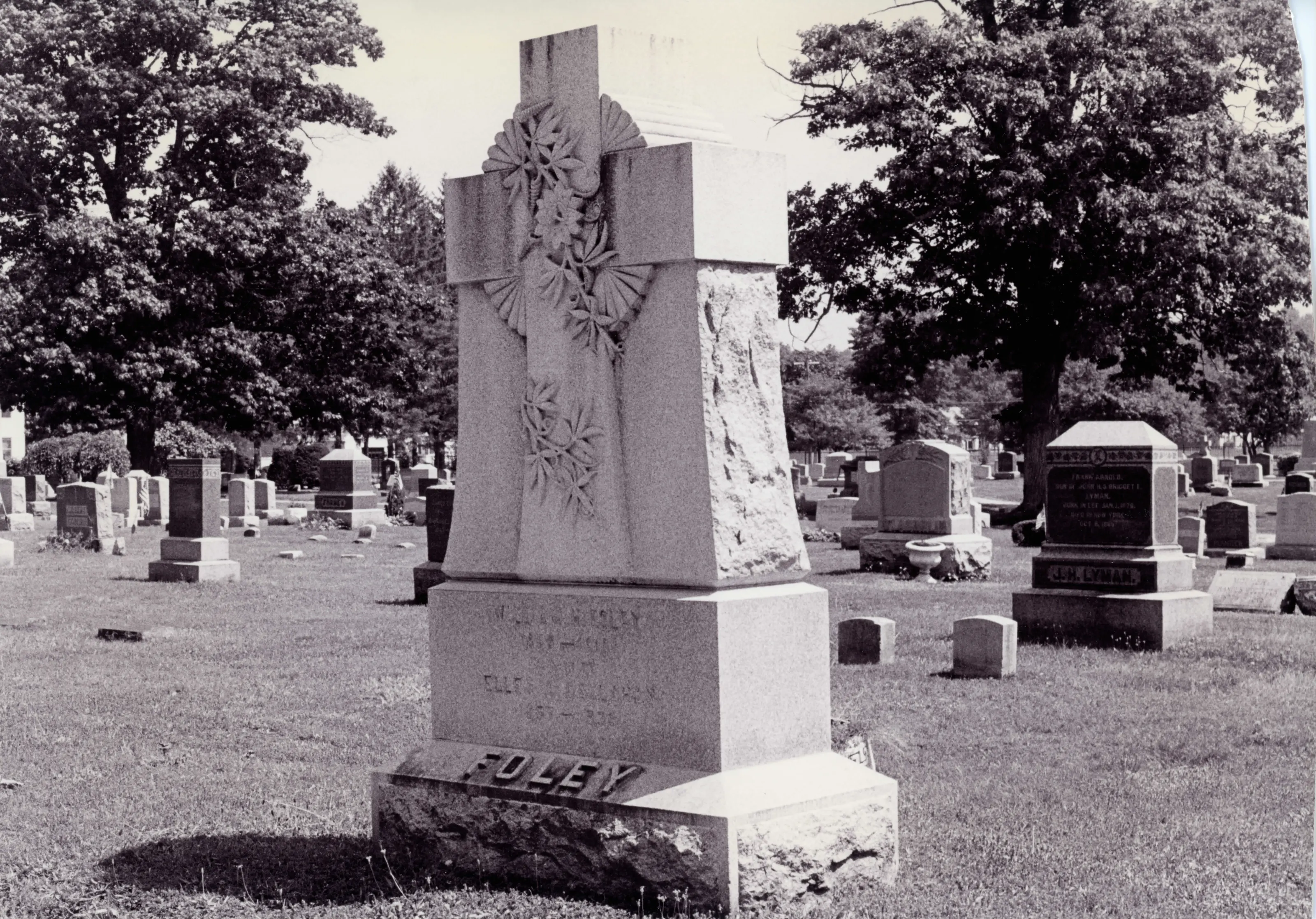
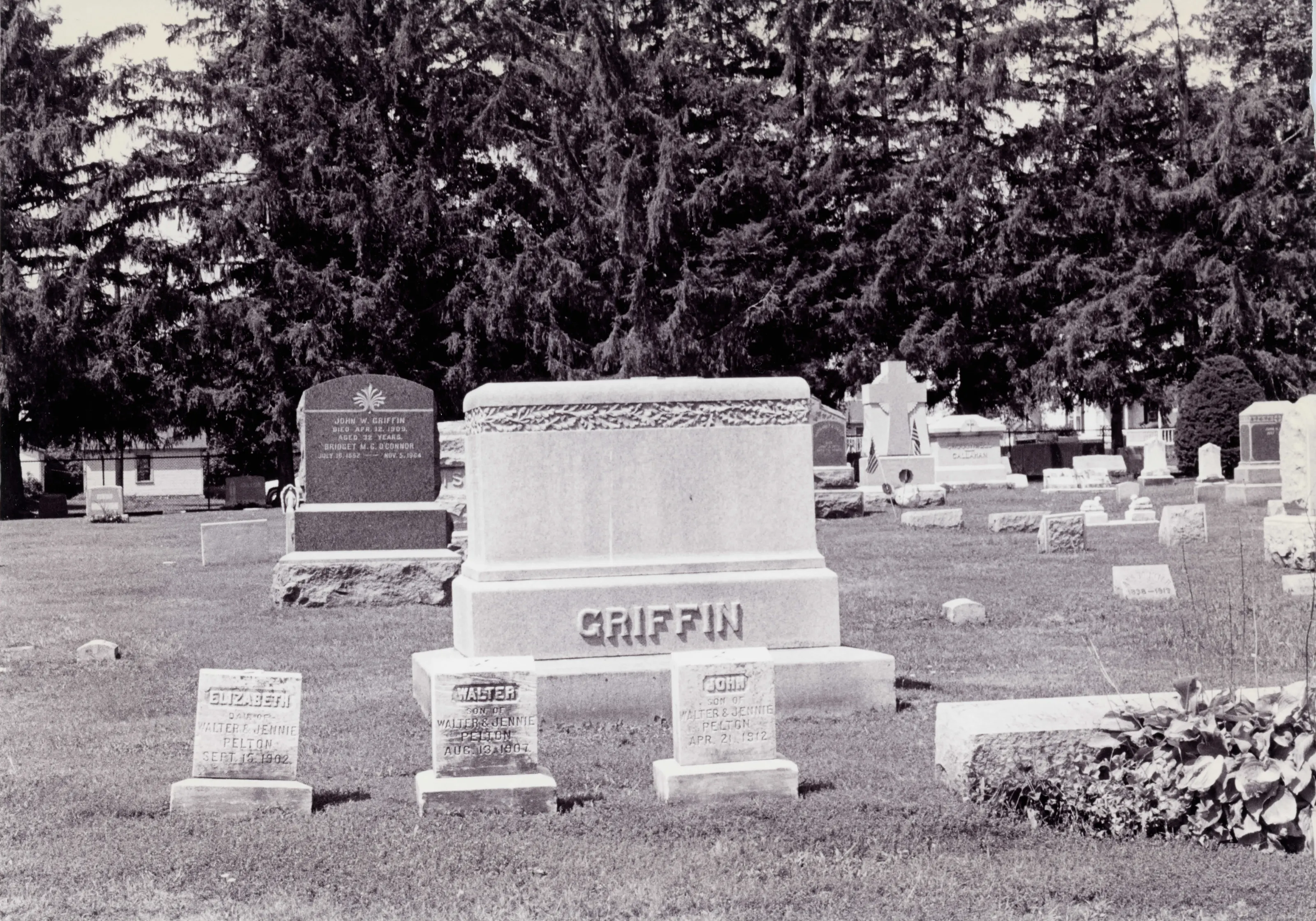
Situated on 6.3 acres of land just a few blocks north of Dalton's Main Street, and containing over 750 burial plots, Fairview Cemetery is a small late-nineteenth century burial ground used primarily by Dalton's working and middle class Irish-Catholic residents. The cemetery is characterized by curving paths and medium-sized headstones, mostly of gray granite, set on small, fairly uniformly sized lots laid out in a grid pattem.
From the National Register nomination, 2000.
Why it is on the Register
Retaining some of the landscape characteristics propounded by the nu-al cemetery movement begun in the 1830s, the cemetery also reflects changing attitudes toward cemetery design, with a gradual movement toward less densely landscaped and more formally stmctured and rnore easily maintained burial grounds. As an example of how changingfrendsin cemetery and monument design were realized in a small rural town during the tum of the century, the Fairview Cemetery fiilfills National Register Criterion C in the area of Landscape Architecture and Art. While its monuments tend to be moderate in scale, they are often fmely detailed and grander than might be expected for a working-class community.
From the National Register nomination, 2000.
Quoted from the scanned form as the National Archives’ text layer reads it. Line breaks are joined; reading errors are left as they are.
Sources, rights and limits
- Listing facts. National Park Service, National Register of Historic Places spatial data, queried 6 November 2026: type, year listed, landmark status, map location. U.S. government work, public domain.
- Nomination text and areas of significance. National Archives catalog record 63794348, “Massachusetts SP Fairview Cemetery”. National Register nomination forms are U.S. government records and public domain. The quoted text is the catalog’s text layer (machine reading of the scan, 2025-07-29), not a transcription.
- Photographs. Photographs are reproduced from the nomination file at the National Archives with the photographer’s credit as typed on the print; rights may remain with the photographer. Write to hello@parcenomics.com to have one removed.
- Location line. Address as in the Park Service layer.
- Outline. Town boundary from the Commonwealth’s town layer, generalized. Not a survey.