Egremont · National Register
Westover--Bacon--Potts Farm
Historic district · listed 1990
- Type
- Historic district
- Town
- Egremont
- Listed
- 1990
- Location
- MA 41, S of jct. with MA 23
- Areas of significance
- Agriculture; Architecture; Exploration/Settlement
- Architectural classification
- Colonial; Georgian
- Reference number
- 90000157
About this listing
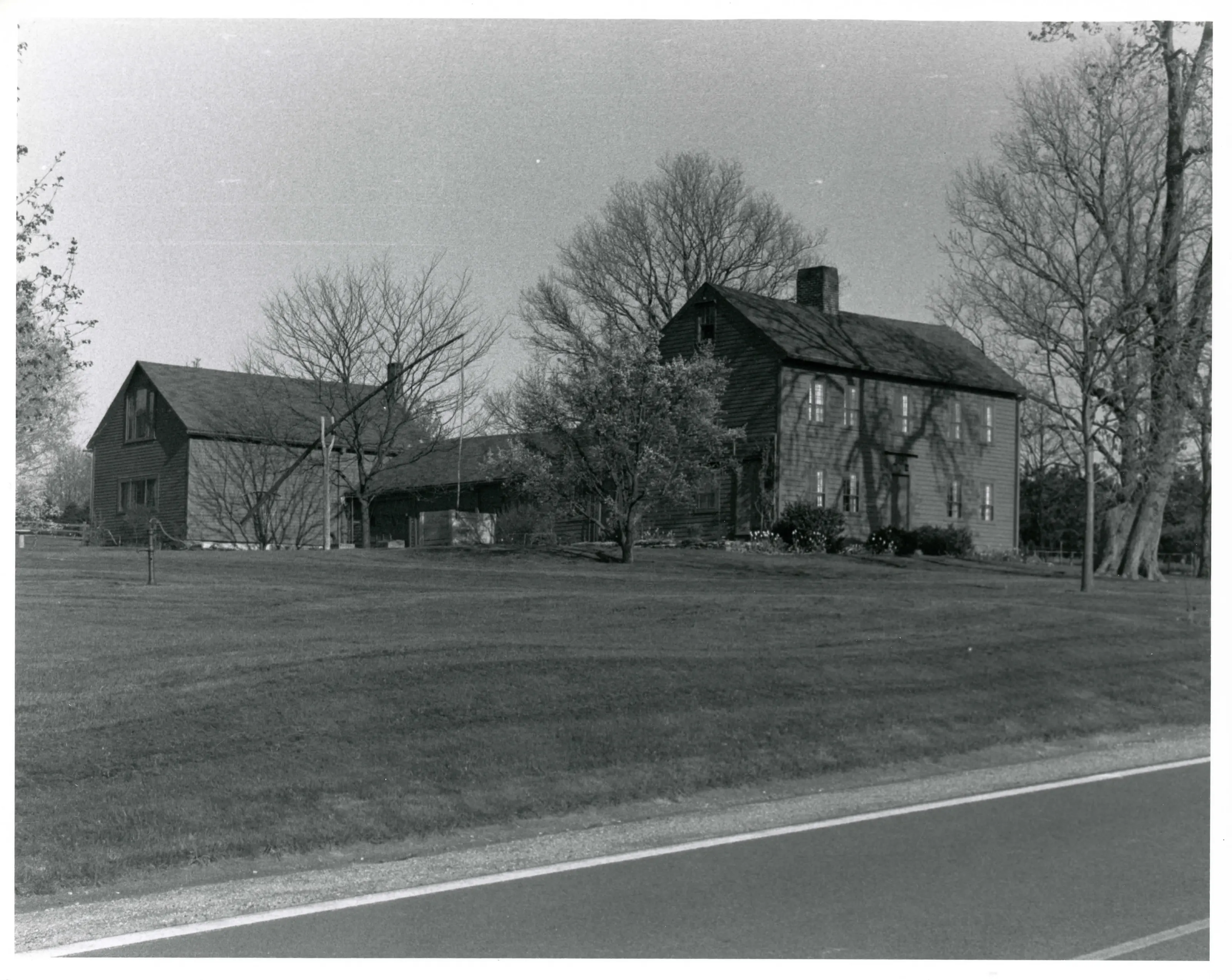
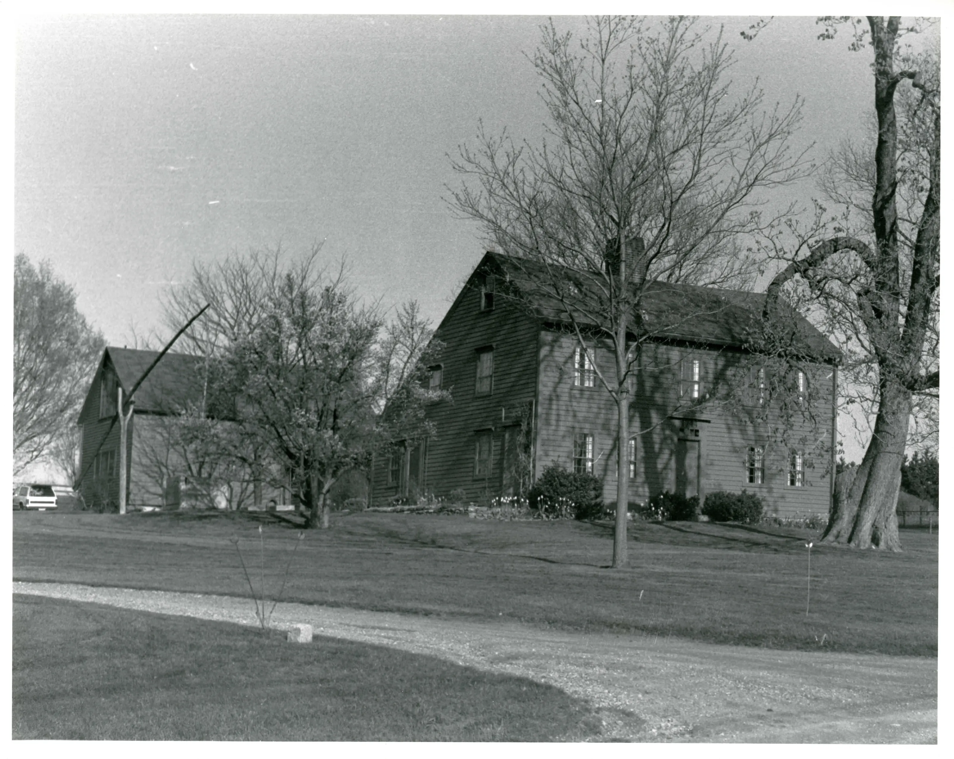
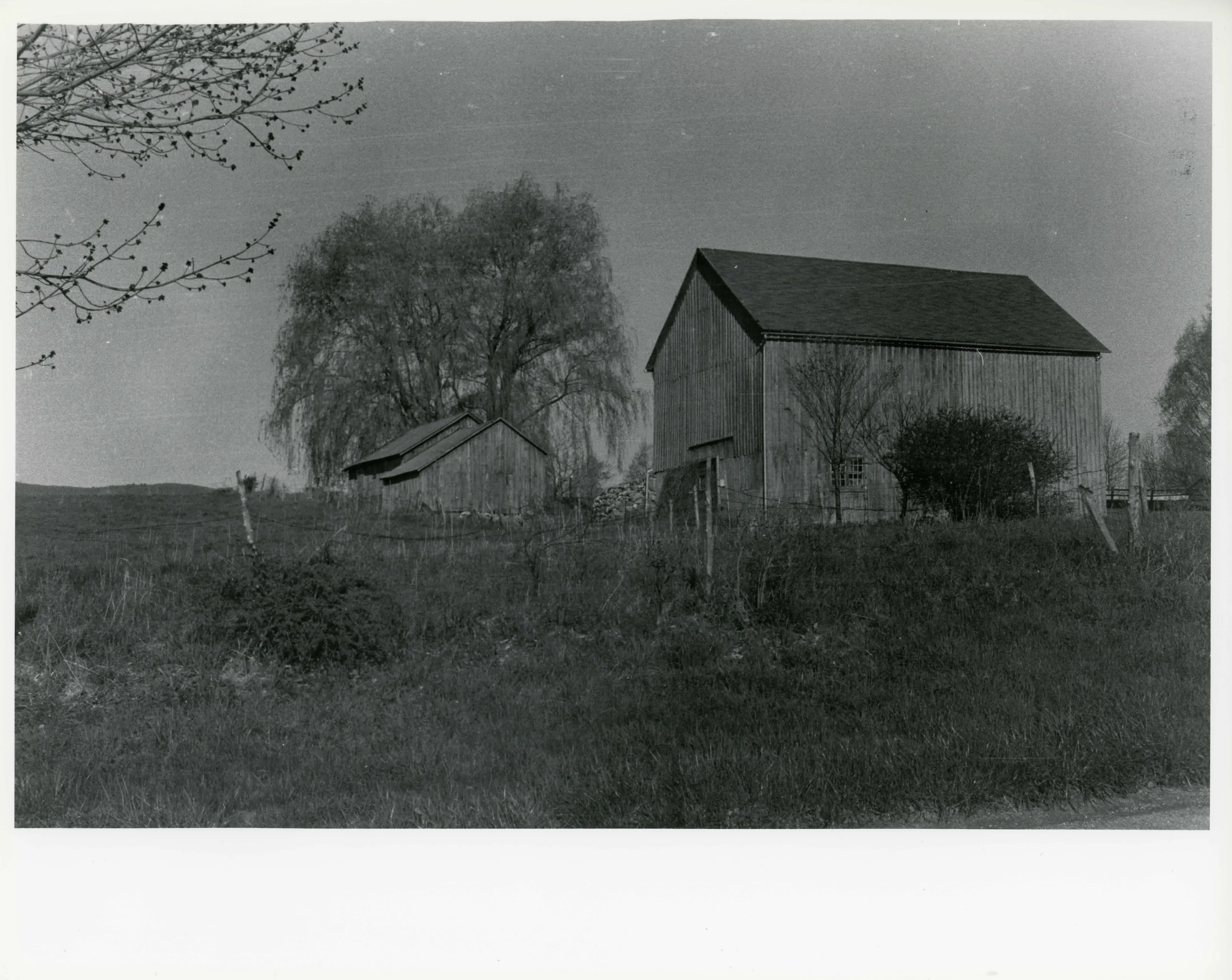
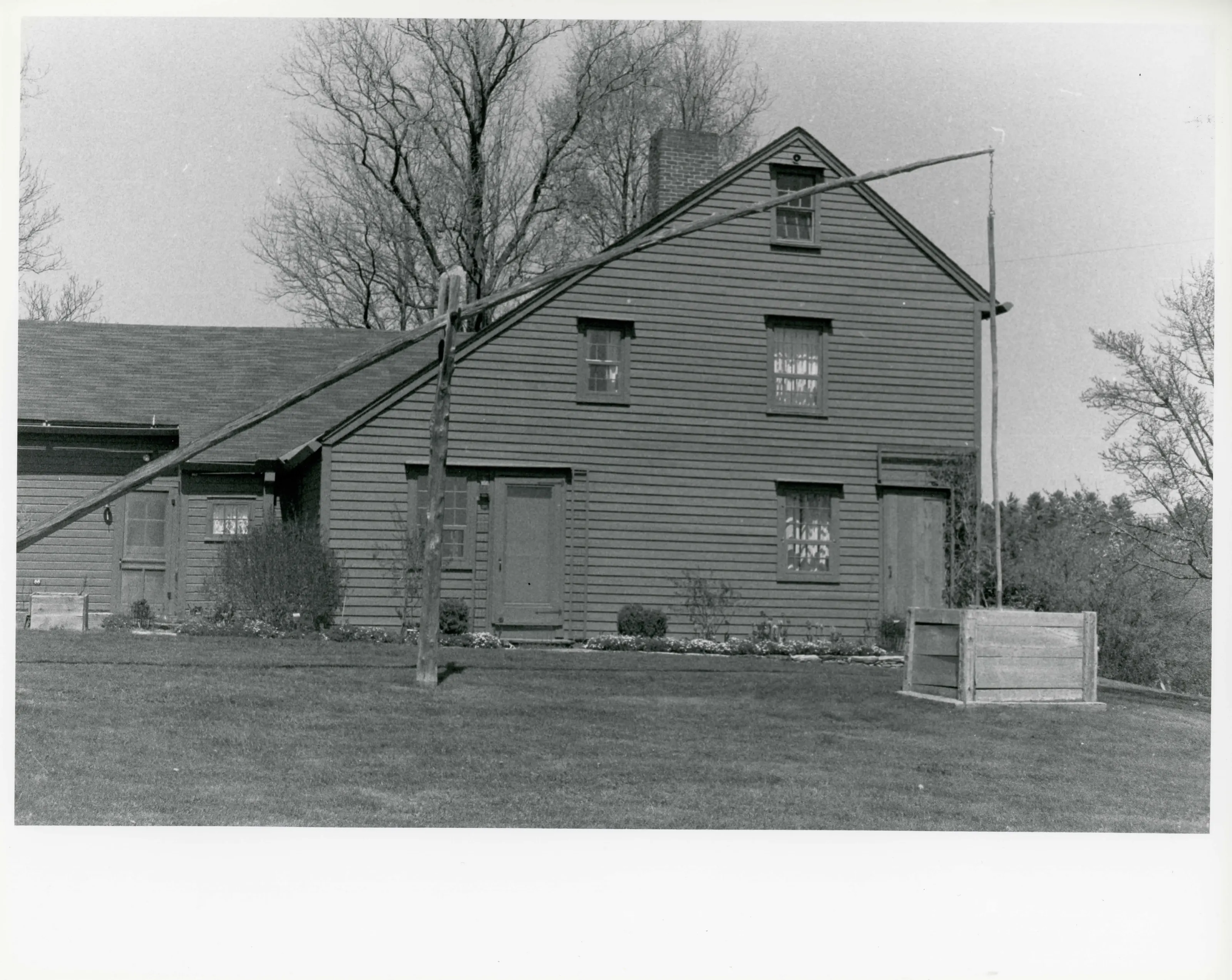
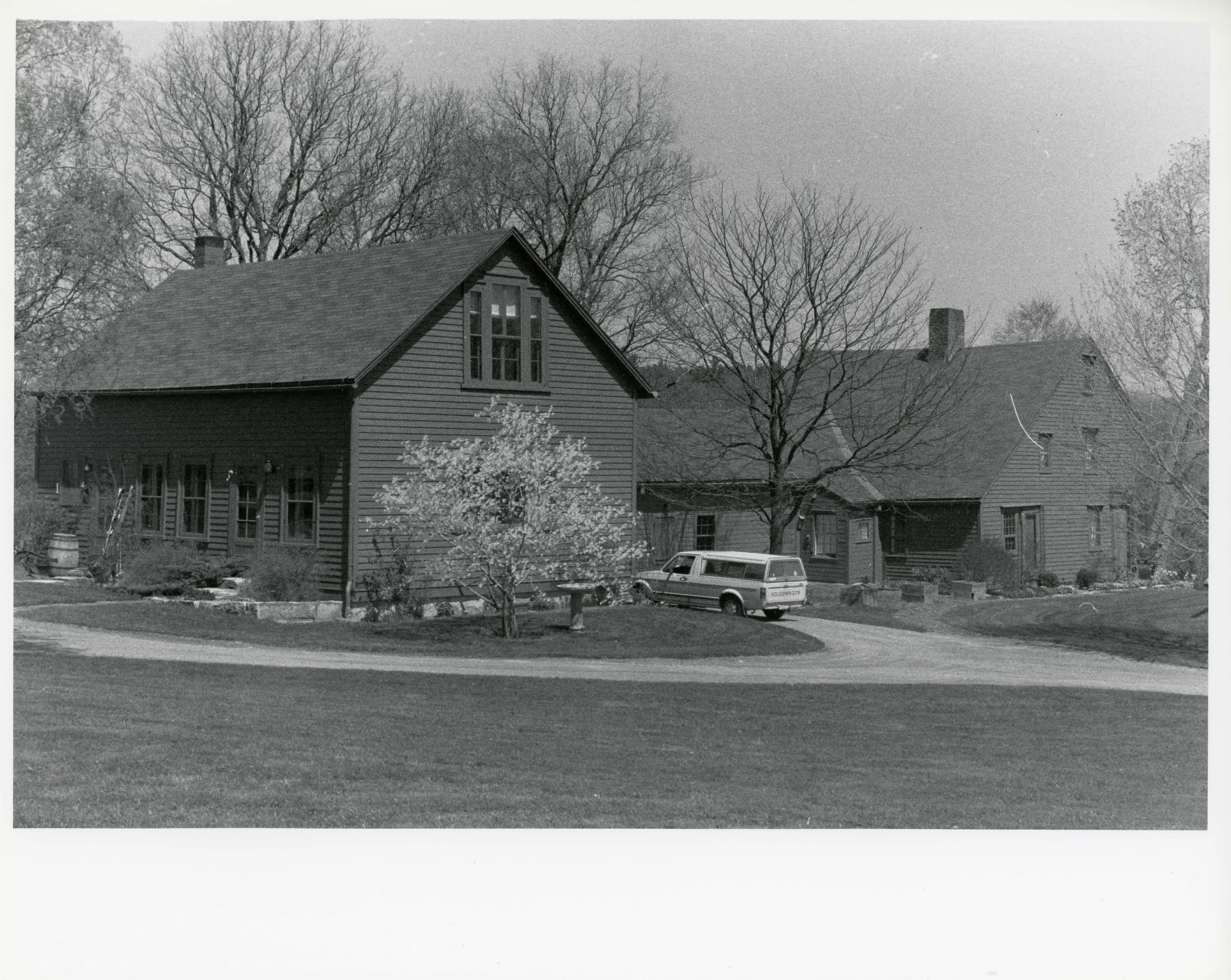
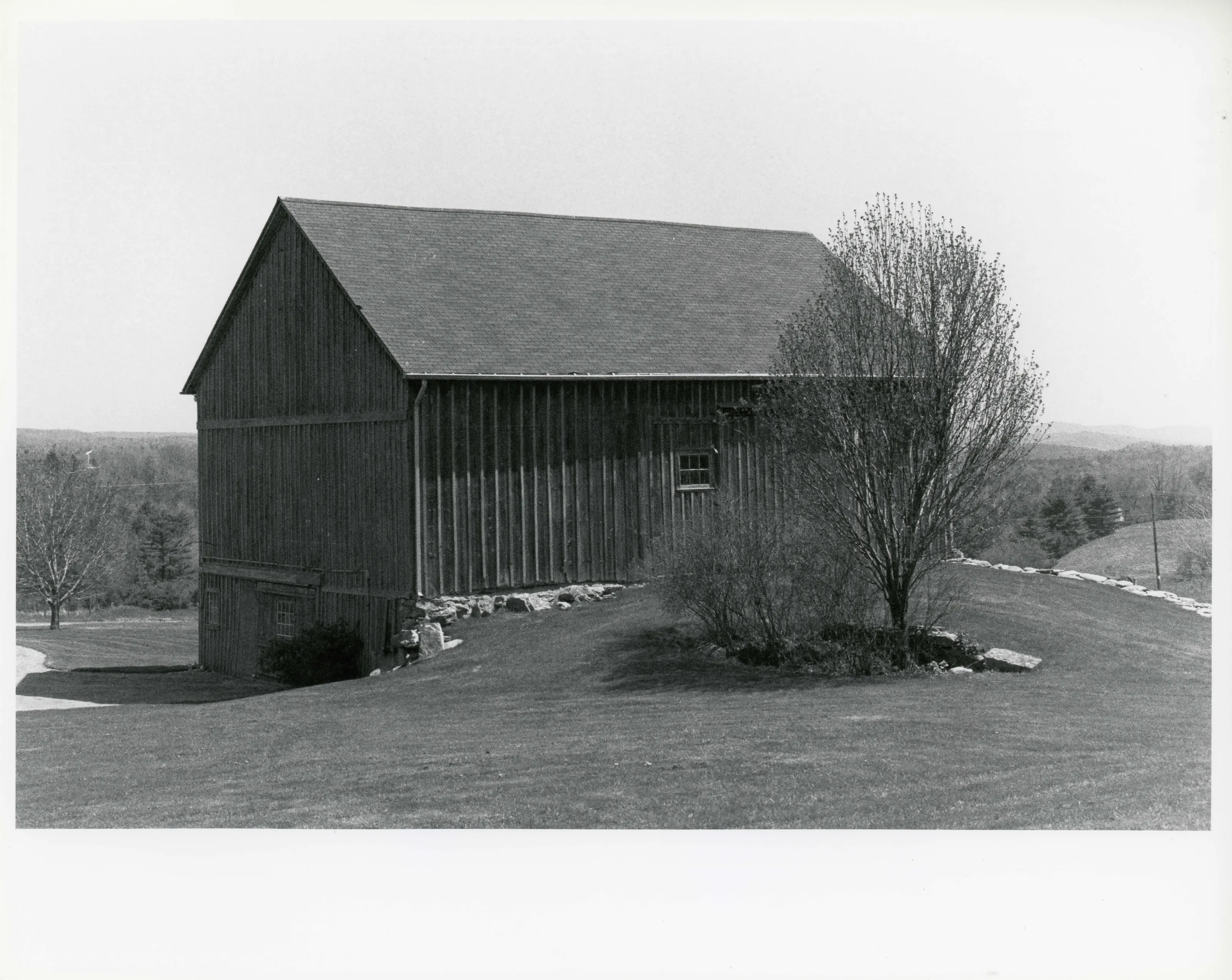
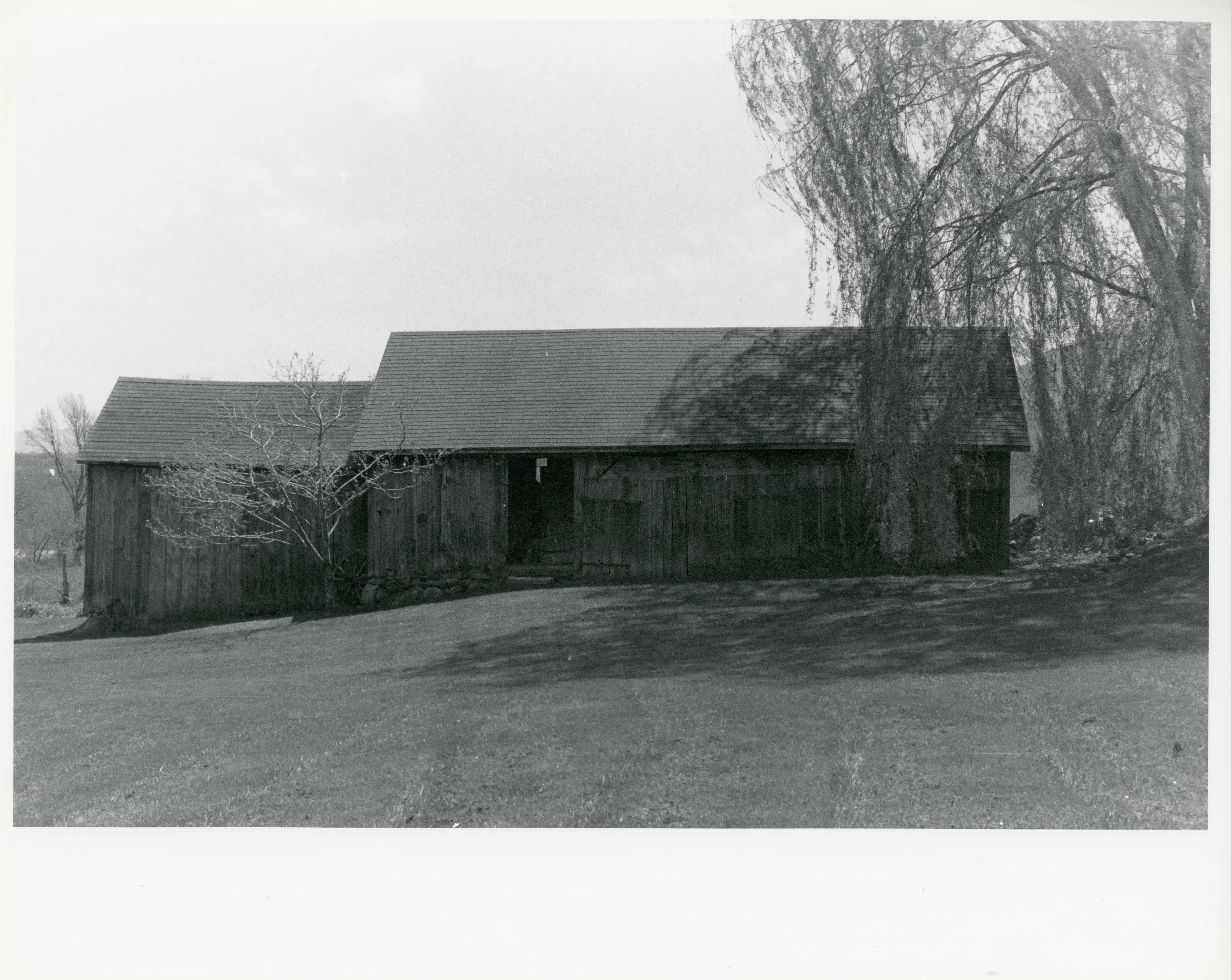
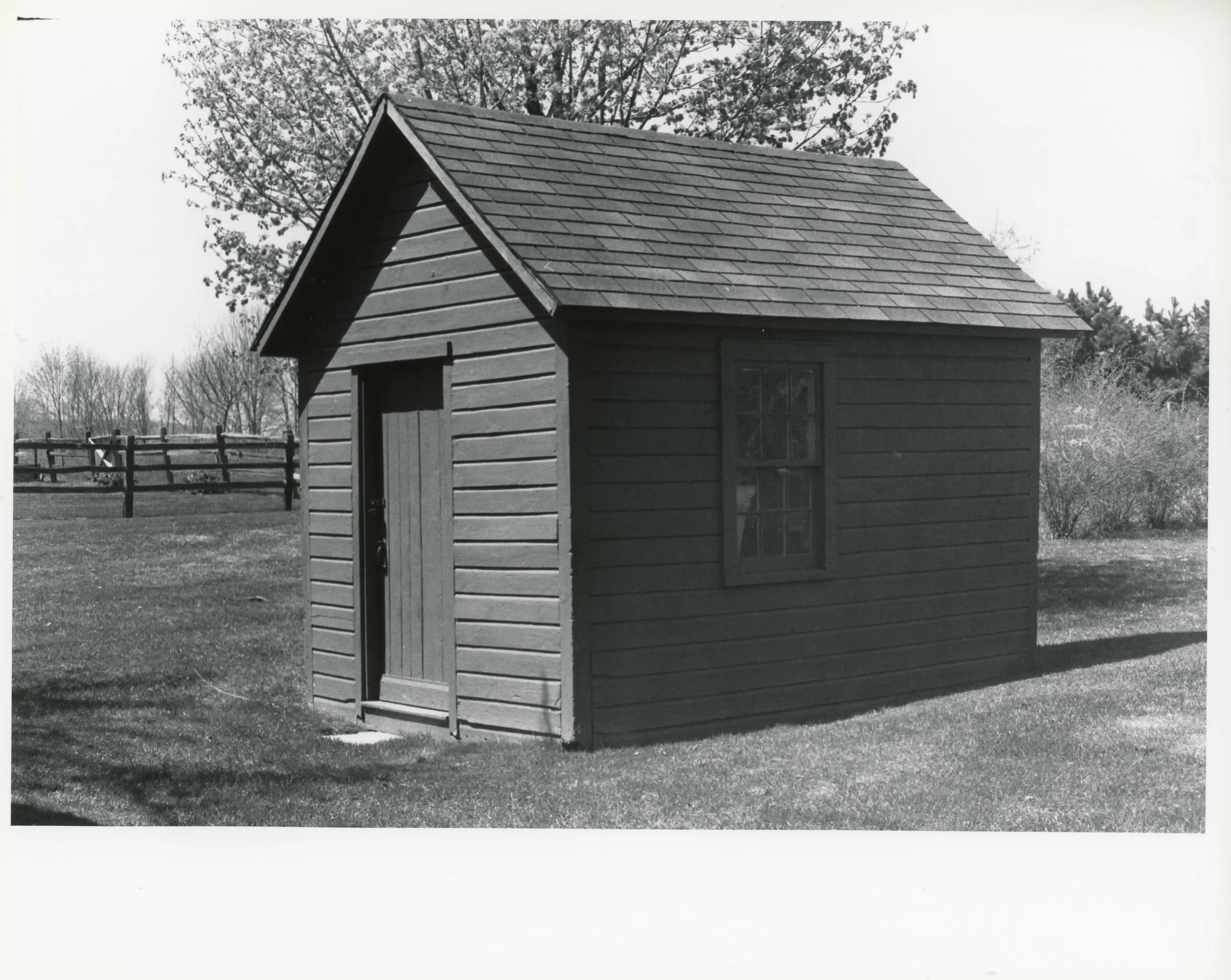
Farm of about 150 acres south of South Egremont, with a 1744 saltbox farmhouse, an attached ell and barn, and period outbuildings. Jonah Westover built the house; the Bacon, Potts and Warner families farmed it until the 1960s. The form calls the house the oldest extant dwelling in Egremont.
- Built
- 1744 (house); ell and barn said to be 1806-1815
- Style
- Colonial/Georgian; Second Period saltbox
- Significance and period
- Agriculture; Architecture; Exploration/Settlement (1744-1939)
- People named
- Jonah Westover; Andrew Bacon II; John Van Guilder
The farm passed through one family from 1830 until it was sold in 1966. It was a dairy farm known for its cheese. The Appalachian Trail now runs along its southern boundary.
“the oldest extant dwelling in Egremont”
National Register nomination
Summary paraphrased from the nomination text; the form is linked below.
The scanned form’s text could not be separated into its description and significance sections reliably, so those two sections are not quoted here. The full form is linked below.
Nearby listings in Egremont
Sources, rights and limits
- Listing facts. National Park Service, National Register of Historic Places spatial data, queried 6 November 2026: type, year listed, landmark status, map location. U.S. government work, public domain.
- Nomination text and areas of significance. National Archives catalog record 63794120, “Massachusetts SP Westover-Bacon-Potts Farm”. National Register nomination forms are U.S. government records and public domain. The quoted text is the catalog’s text layer (machine reading of the scan, 2025-07-29), not a transcription.
- Photographs. Photographs are reproduced from the nomination file at the National Archives with the photographer’s credit as typed on the print; rights may remain with the photographer. Write to hello@parcenomics.com to have one removed.
- Location line. Address as in the Park Service layer.
- Outline. Town boundary from the Commonwealth’s town layer, generalized. Not a survey.