Williamstown · National Register
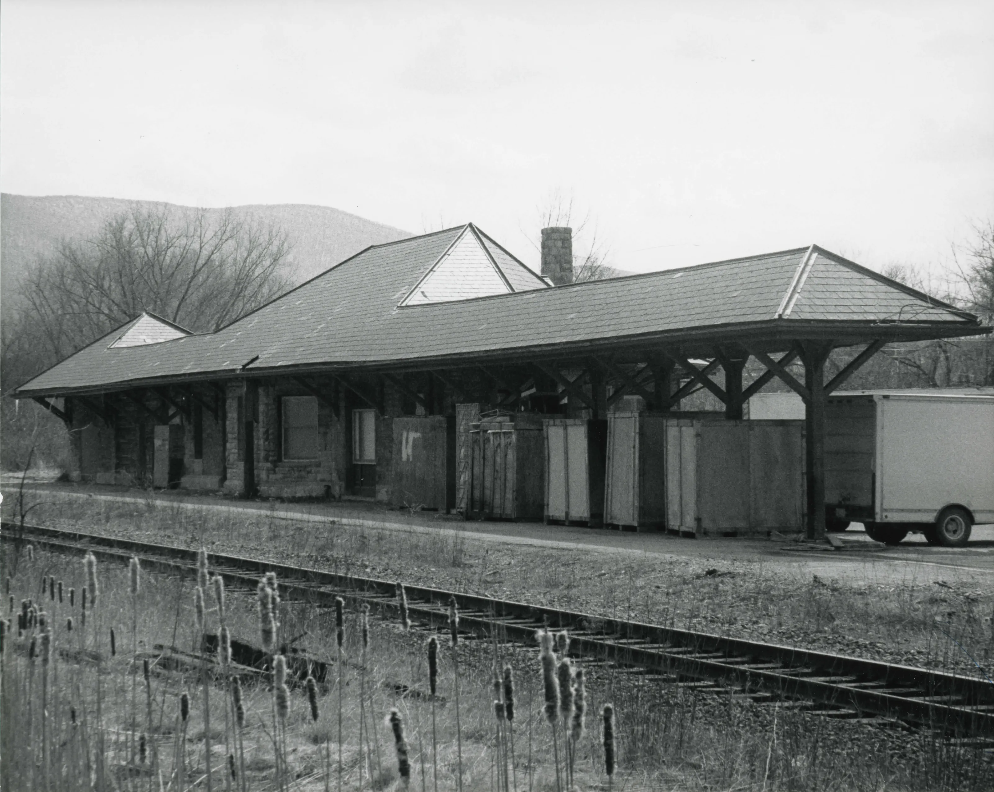
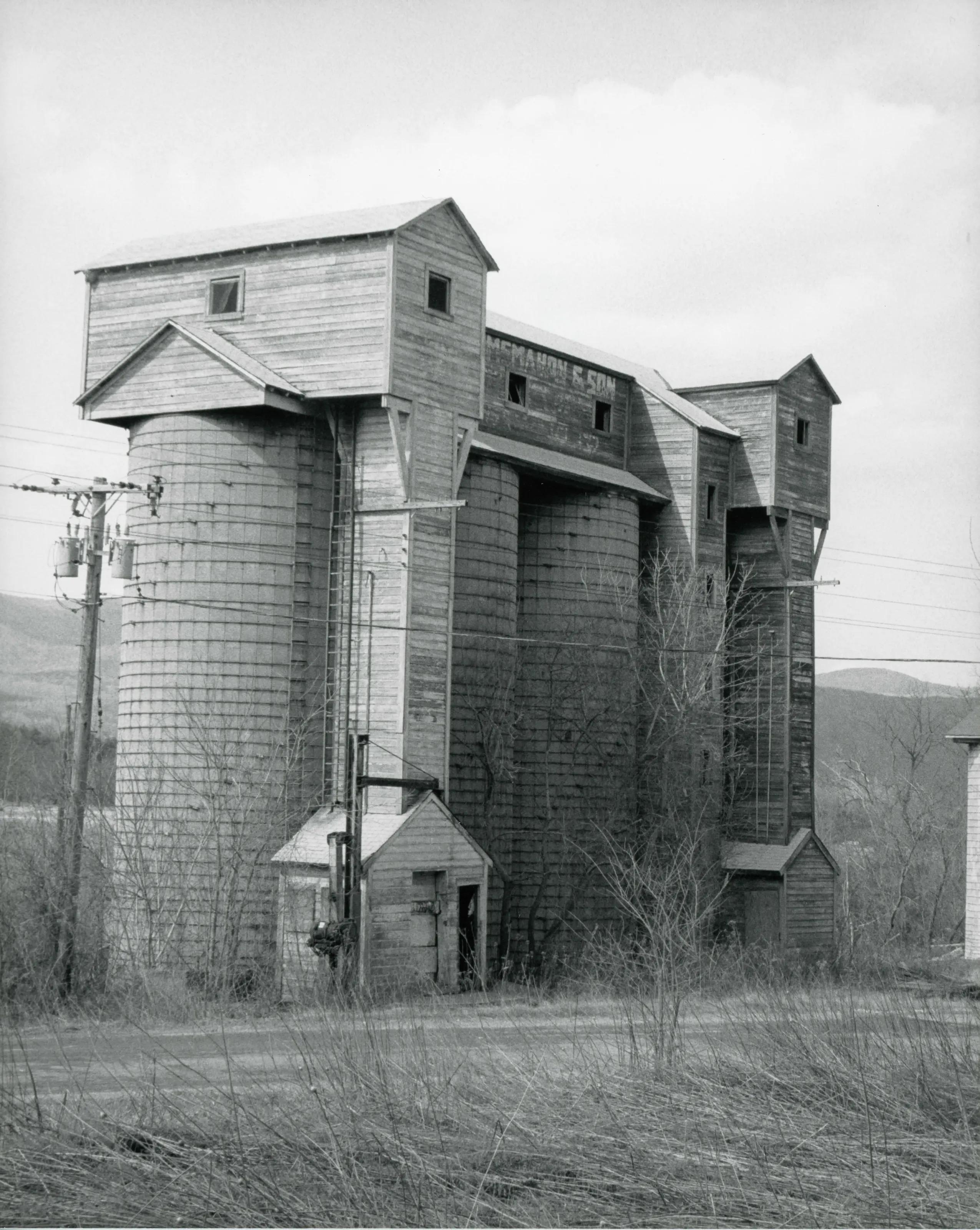
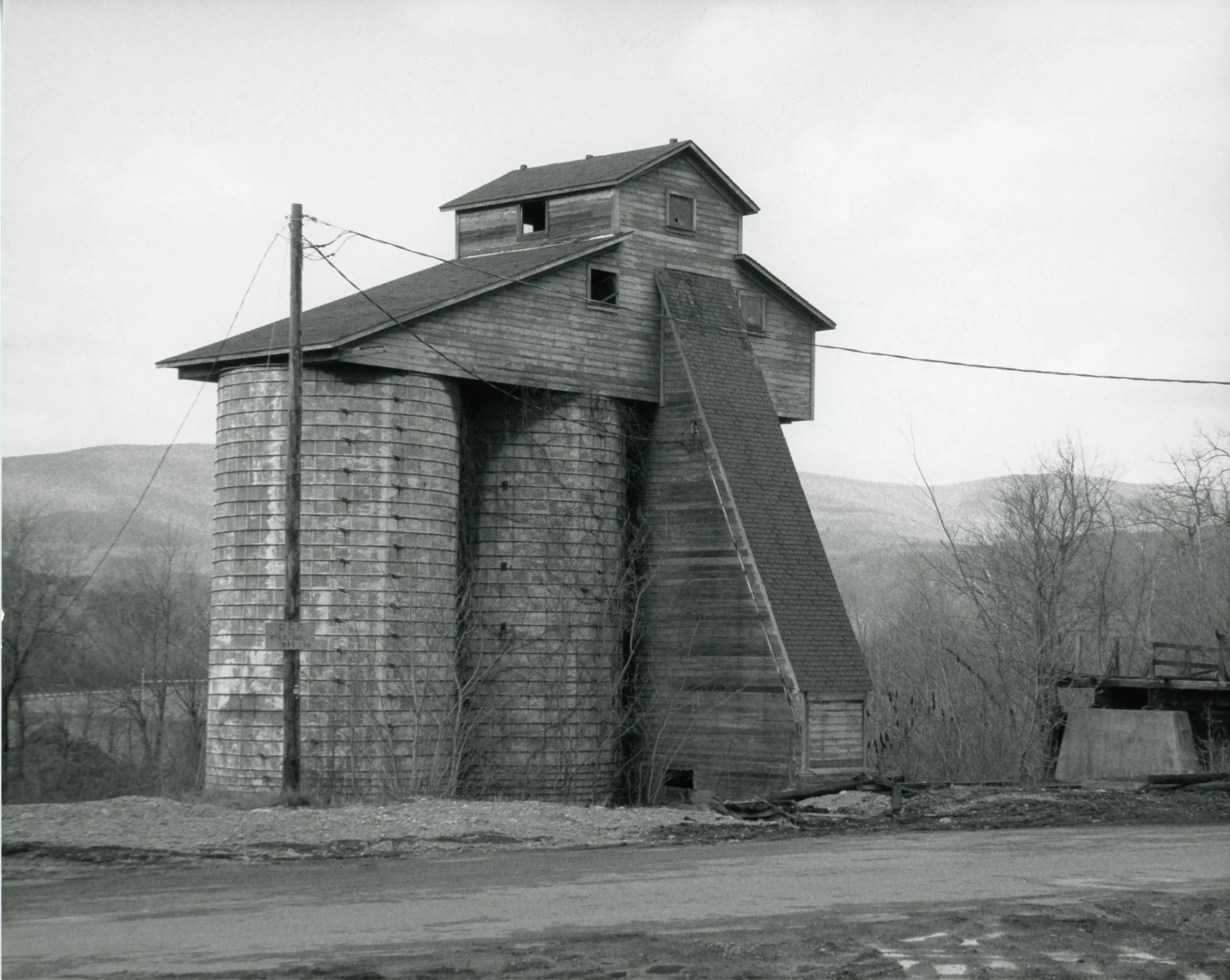
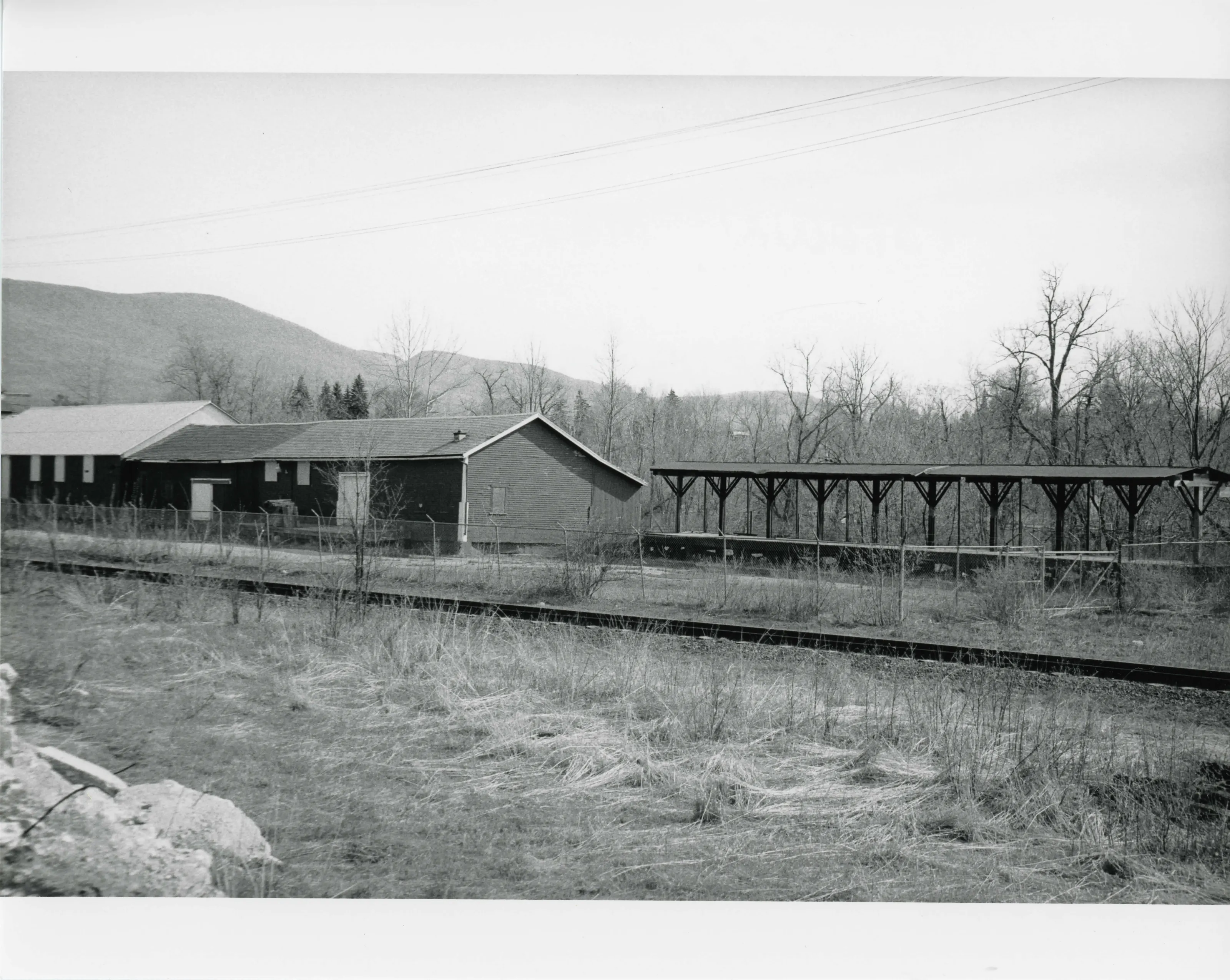
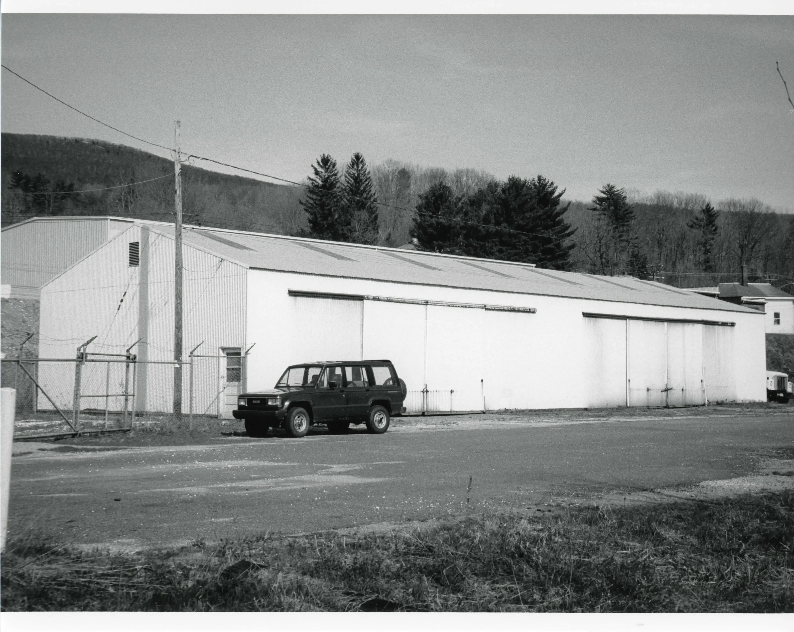
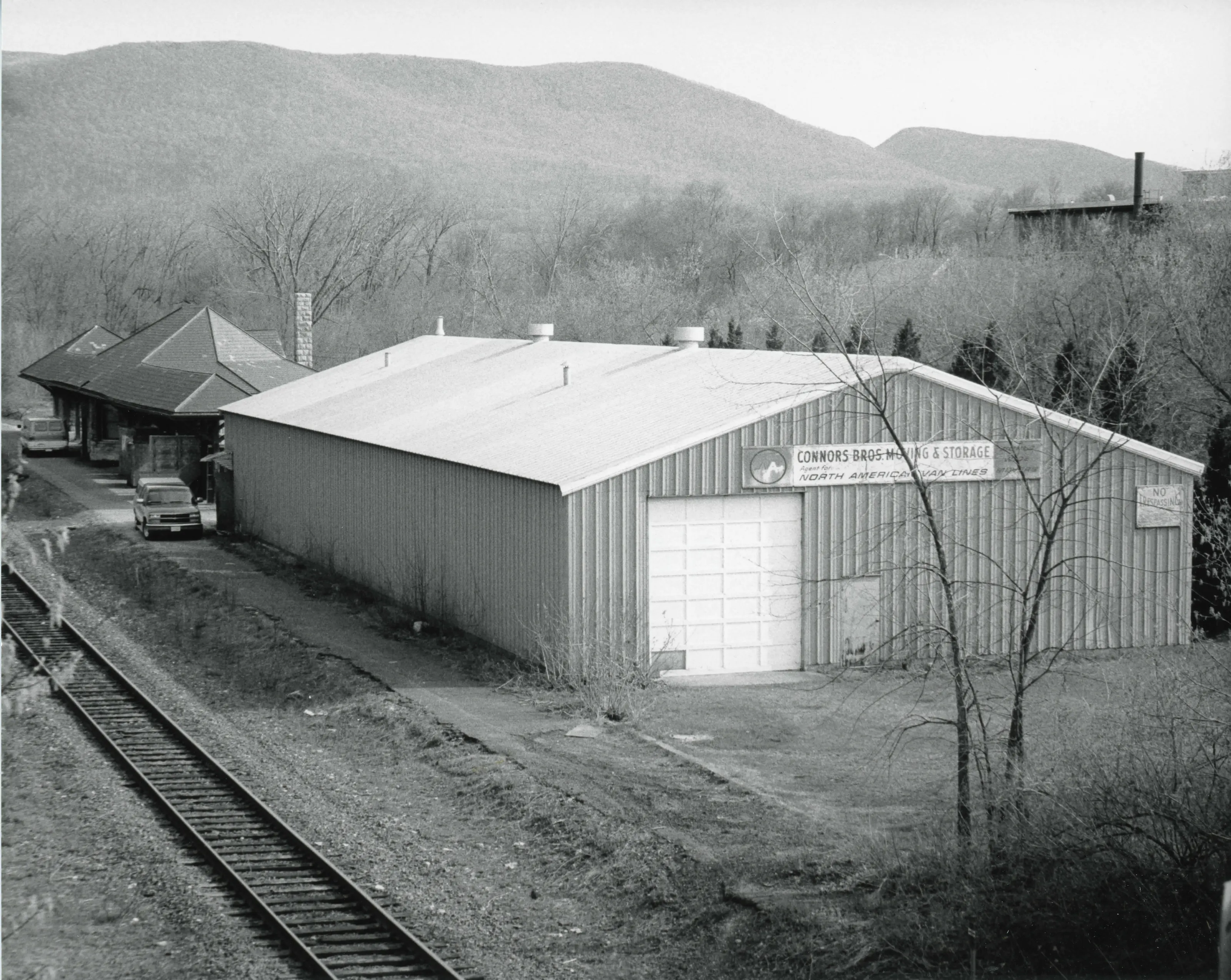
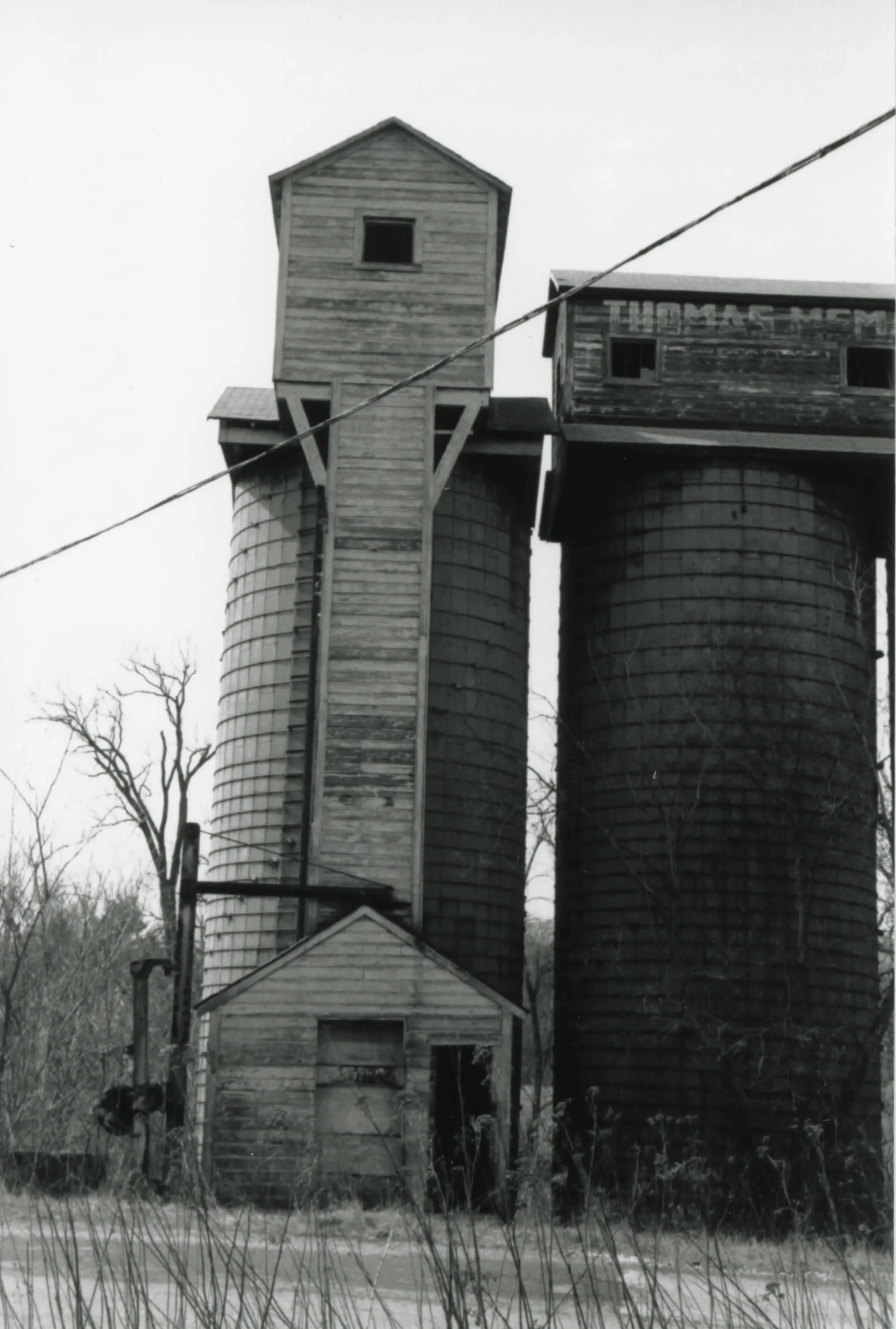
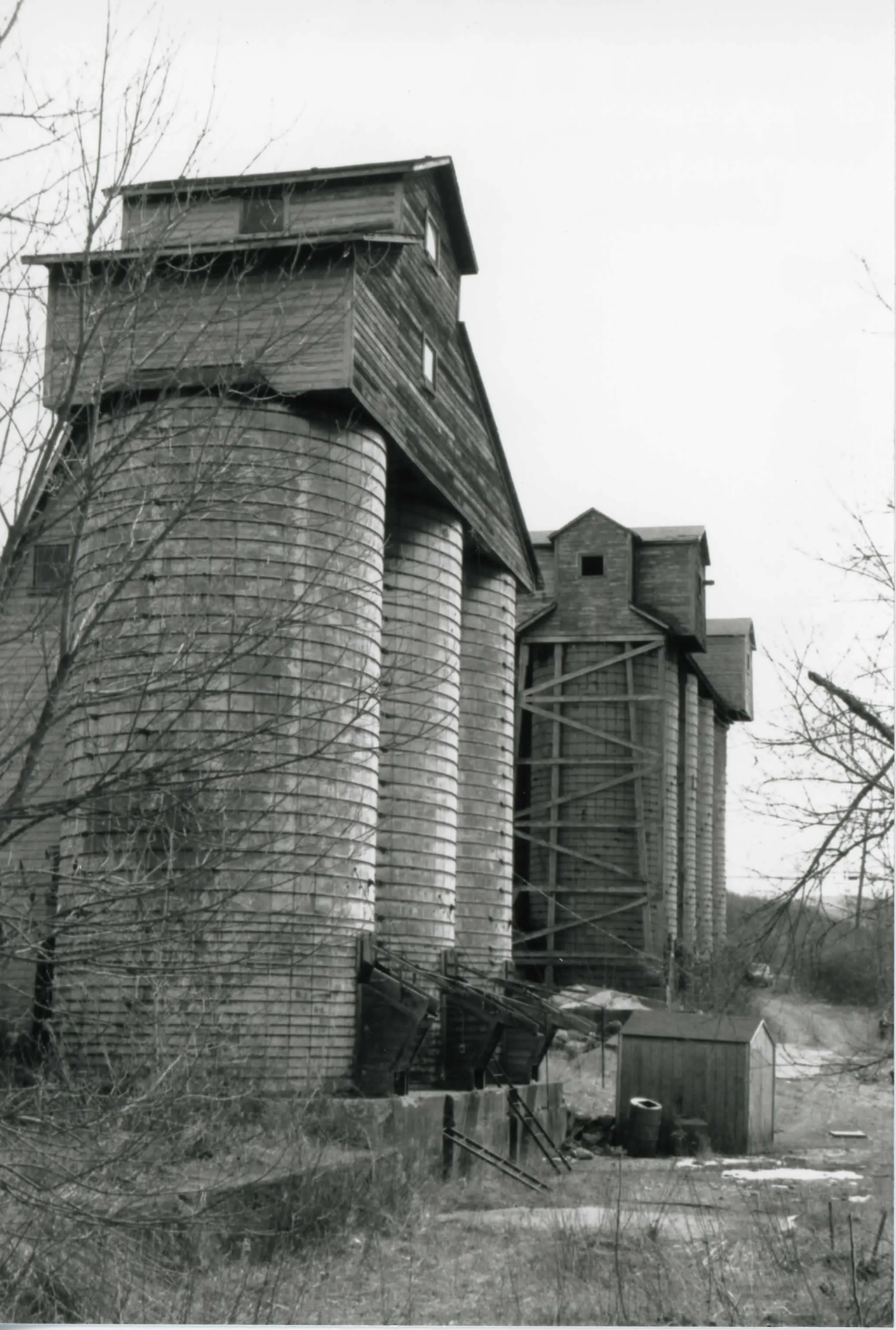
Williamstown Rail Yard and Station Historic District
Historic district · listed 1994
- Type
- Historic district
- Town
- Williamstown
- Listed
- 1994
- Location
- Jct. of Cole Ave. and N. Hoosac Rd.
- Areas of significance
- Architecture; Transportation
- Architectural classification
- Victorian; Romanesque
- Reference number
- 94000544
About this listing
Rail yard and station district in Williamstown representing the era when the railroad was the main way goods and people moved into and out of town, and the growth of the Fitchburg Railroad.
- Architect / builder
- Gifford-Wood Company
“The features of this district represent a key era in the development of the town of Williamstown”
National Register nomination
Summary paraphrased from the nomination text; the form is linked below.
Why it is on the Register
The Williamstown Rail Yard and Station Historic District possesses integrity of design, setting, materials, and workmanship. The features of this district represent a key era in the development of the town of Williamstown, when the railroad was the dominant means of travel into and out of town for both goods and people. The rail yard provided a focus for the growth J of the town in the late 19th and early 2 0th centuries and for the » development of the Fitchburg Railroad.
From the National Register nomination, 1994.
Quoted from the scanned form as the National Archives’ text layer reads it. Line breaks are joined; reading errors are left as they are.
Sources, rights and limits
- Listing facts. National Park Service, National Register of Historic Places spatial data, queried 6 November 2026: type, year listed, landmark status, map location. U.S. government work, public domain.
- Nomination text and areas of significance. National Archives catalog record 63794340, “Massachusetts SP Williamstown Rail Yard and Station Historic District”. National Register nomination forms are U.S. government records and public domain. The quoted text is the catalog’s text layer (machine reading of the scan, 2025-07-29), not a transcription.
- Photographs. Photographs are reproduced from the nomination file at the National Archives with the photographer’s credit as typed on the print; rights may remain with the photographer. Write to hello@parcenomics.com to have one removed.
- Location line. Address as in the Park Service layer.
- Outline. Town boundary from the Commonwealth’s town layer, generalized. Not a survey.