Williamstown · National Register
Five Corners Historic District
Historic district · listed 1993
- Type
- Historic district
- Town
- Williamstown
- Listed
- 1993
- Location
- Jct. of Cold Spring, Green River, New Ashford, Hancock and Sloan Rds. and surrounding area
- Areas of significance
- Architecture; Social History
- Architectural classification
- Georgian; Federal; Greek Revival; Colonial; Victorian; Gothic; Italianate; Eastlake; Colonial Revival; National Folk Style
- Reference number
- 92001717
About this listing
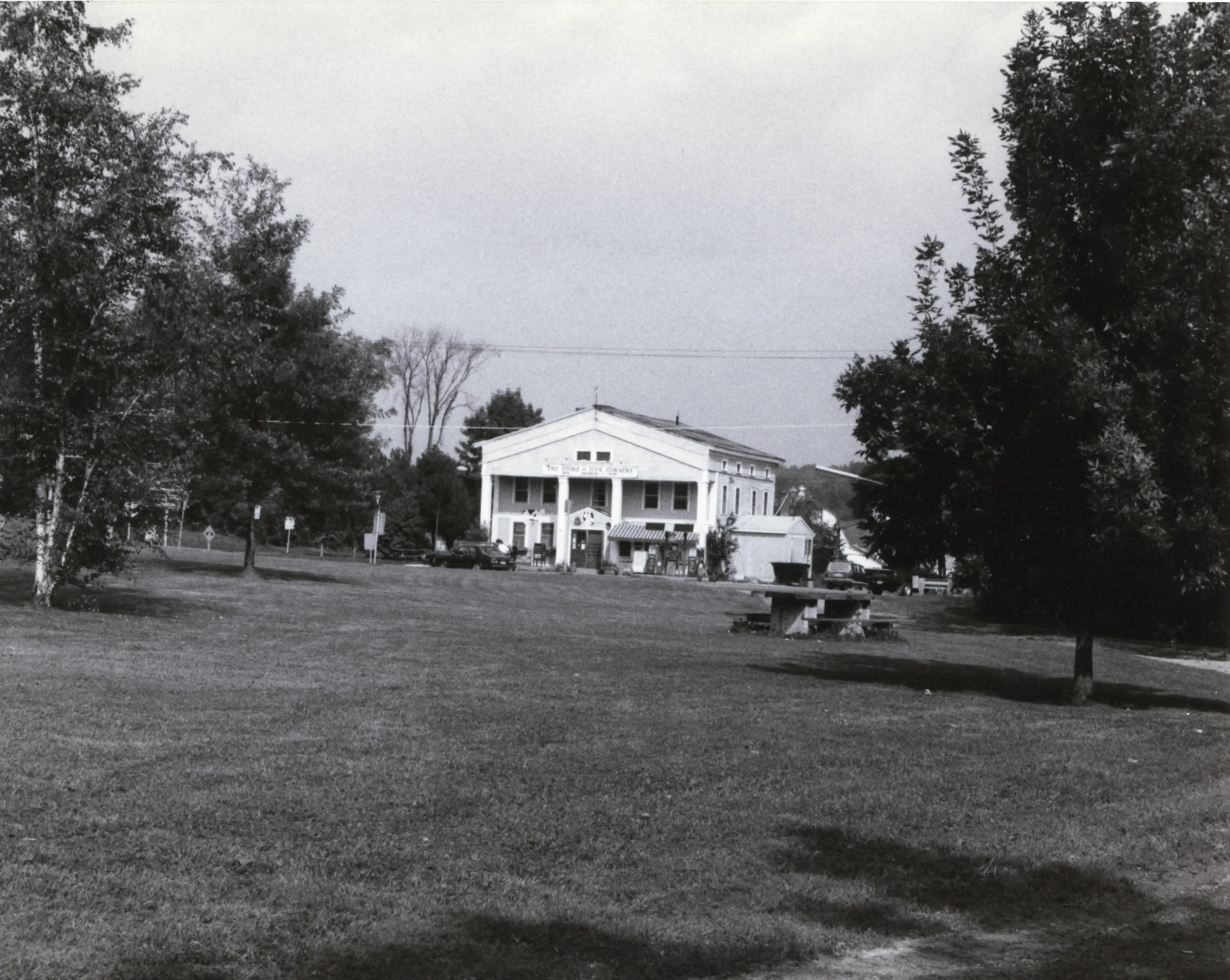
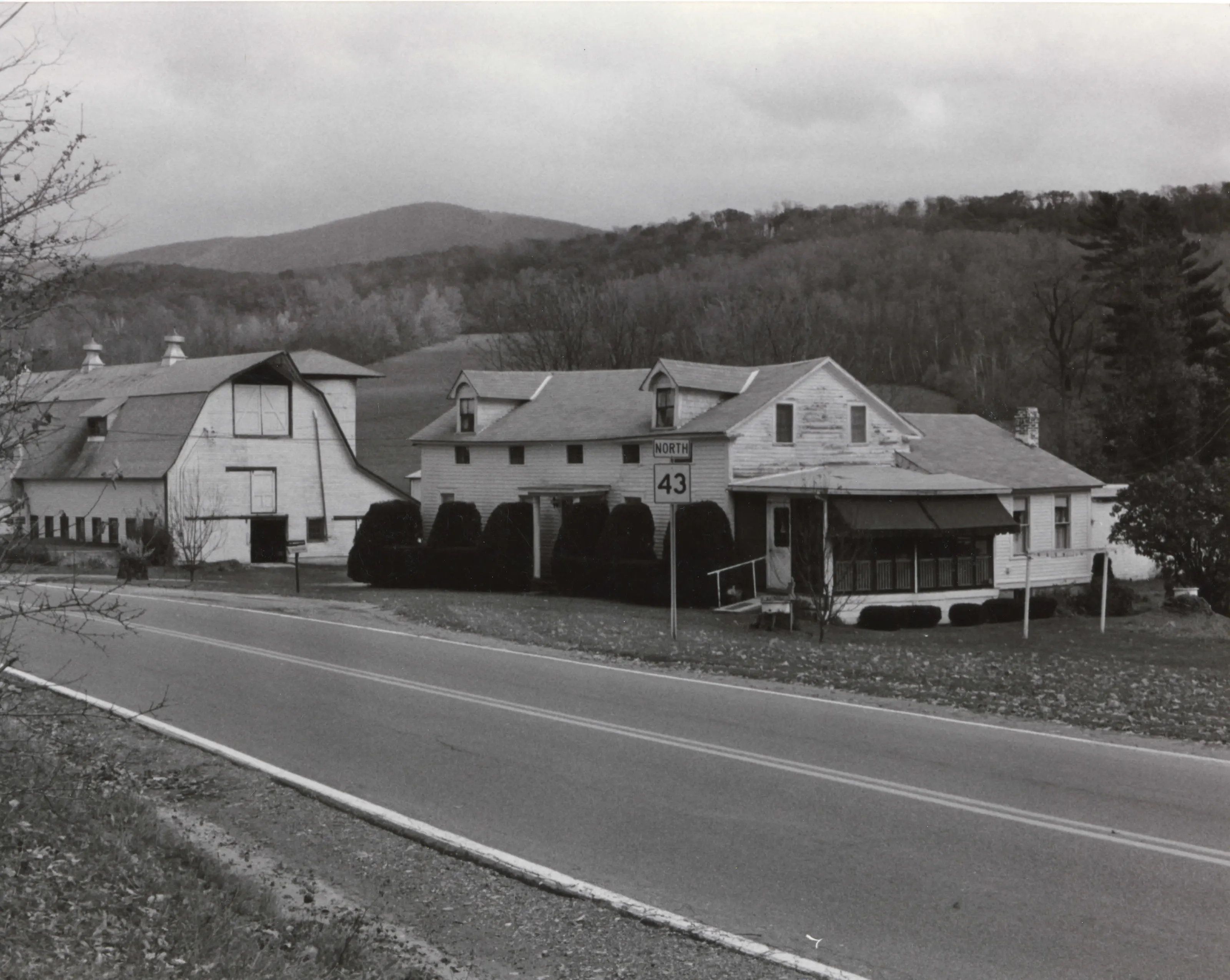
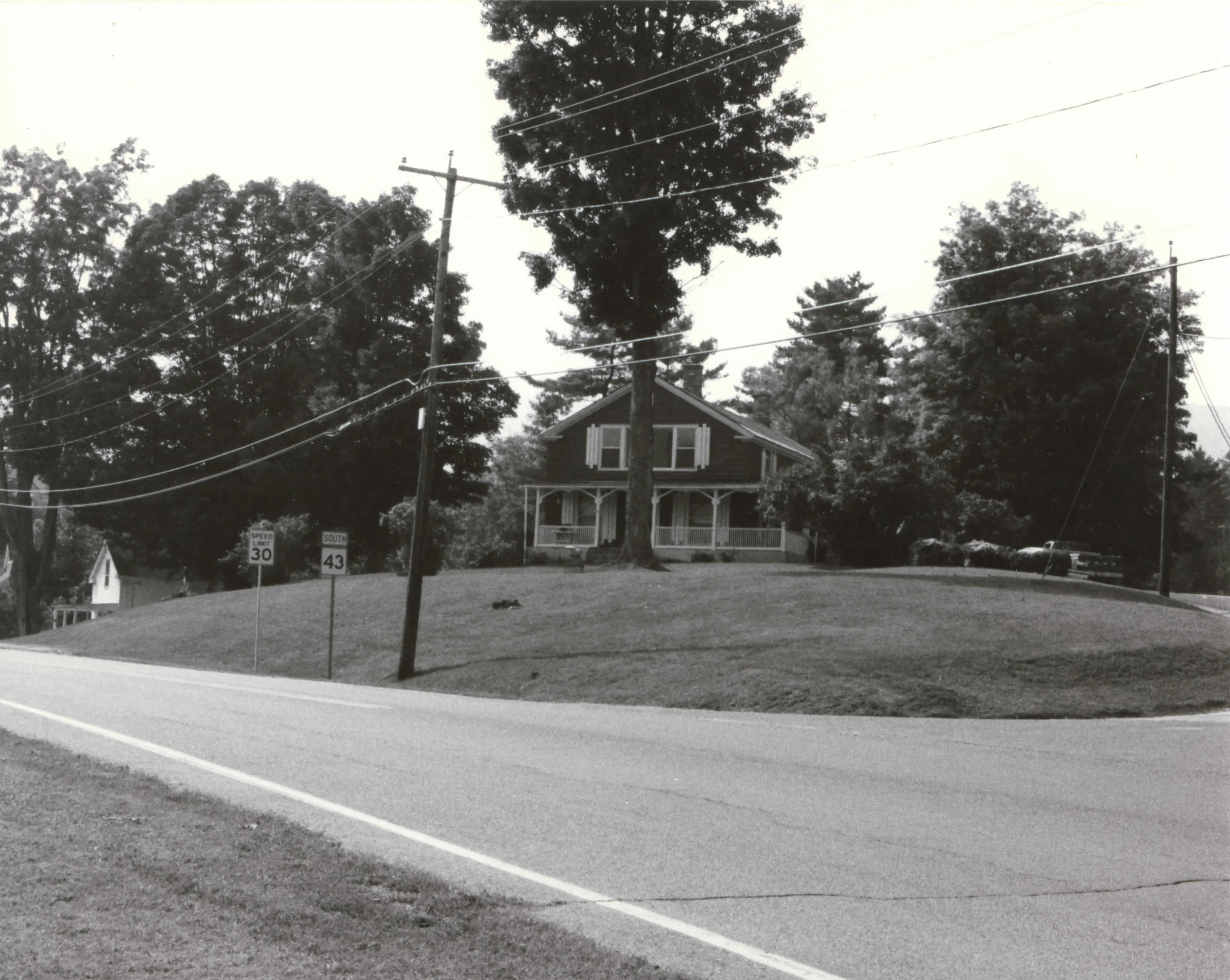
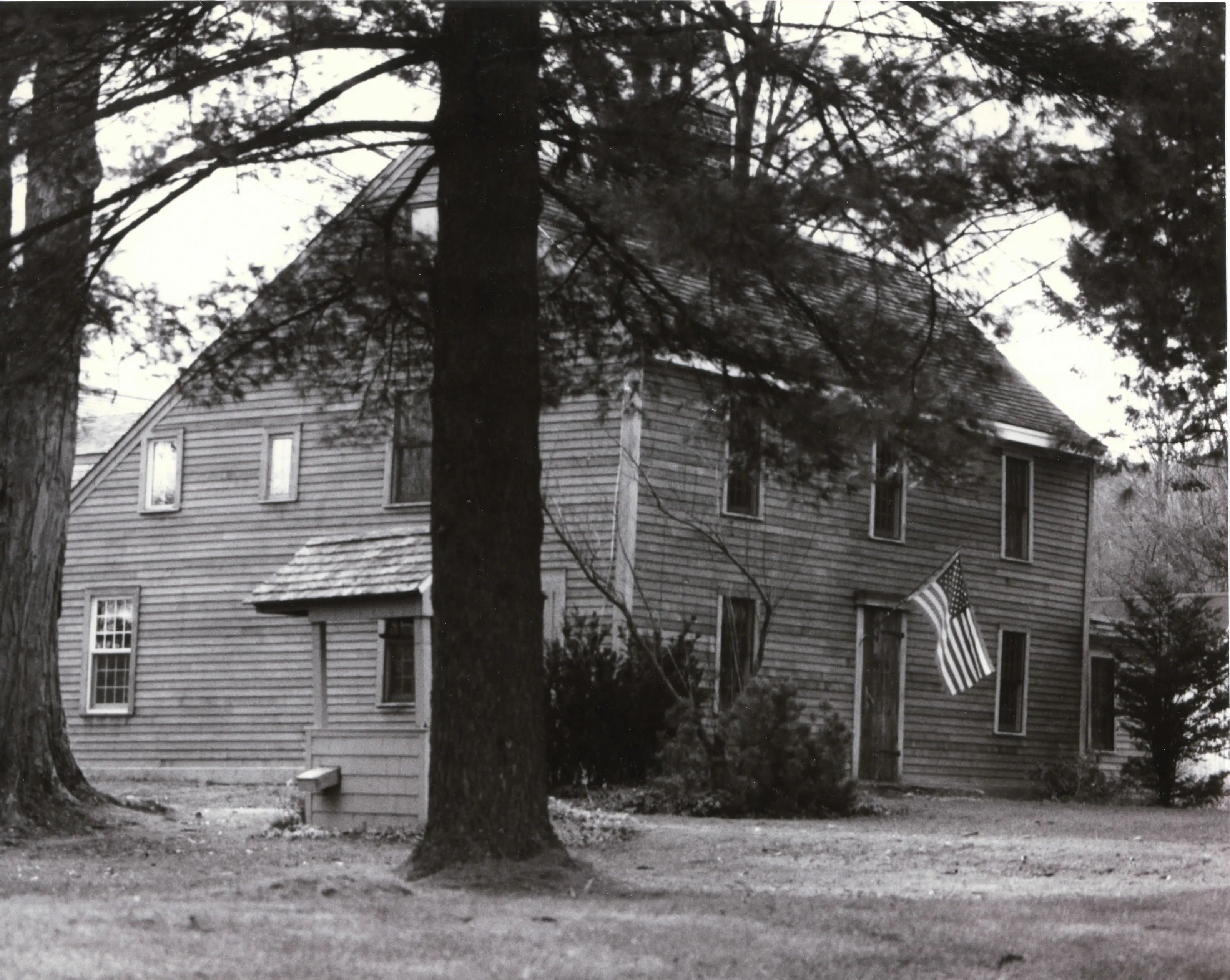
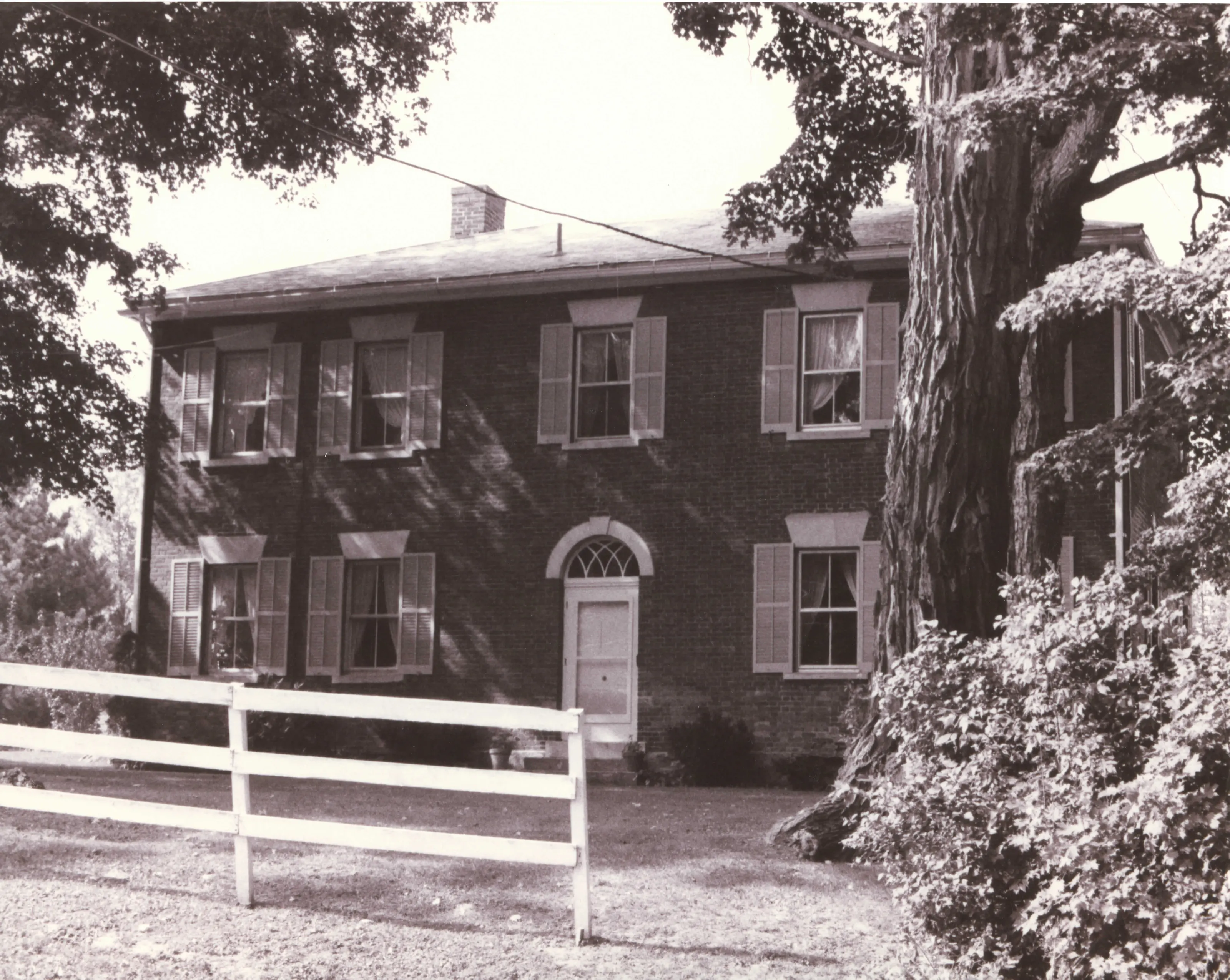
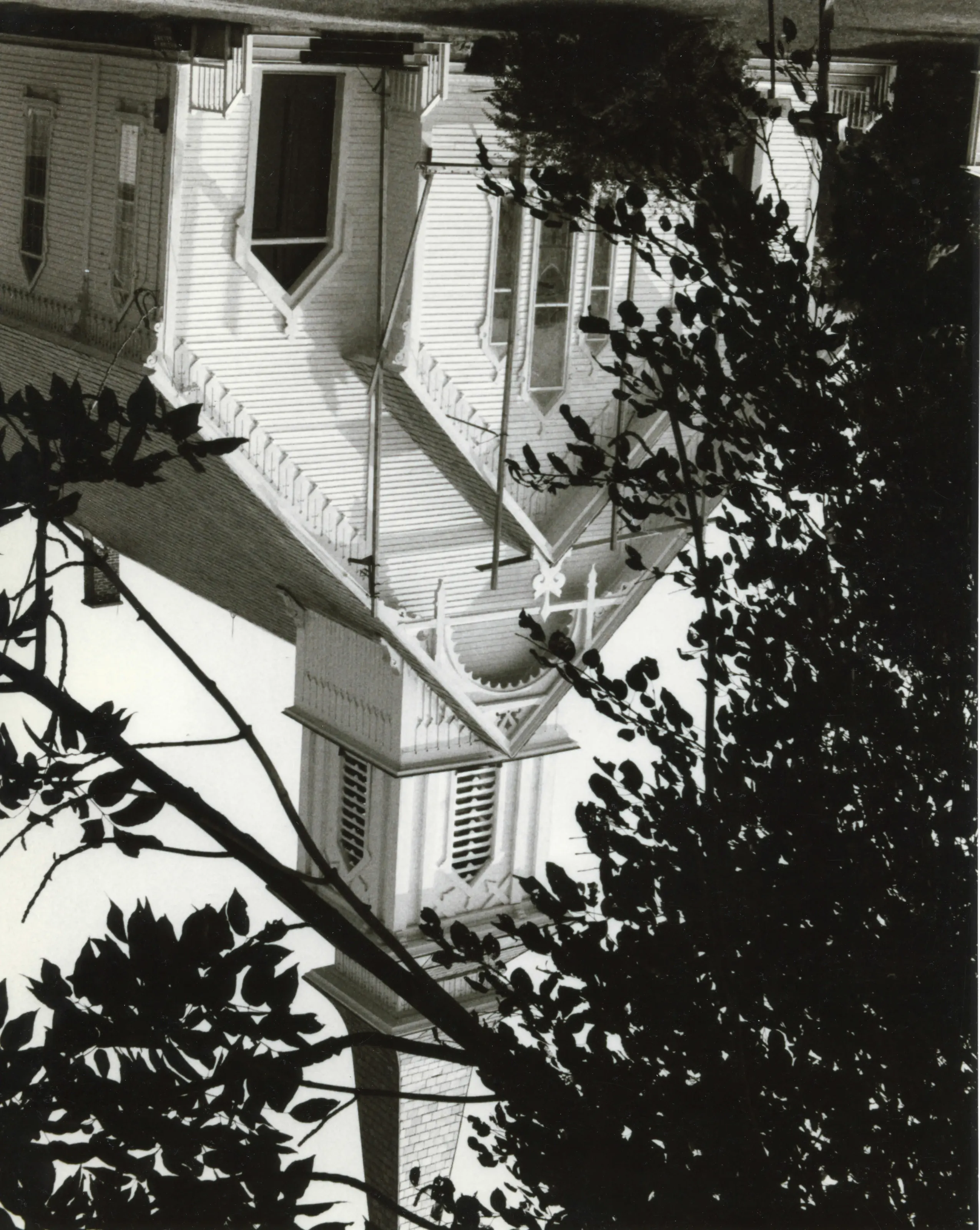
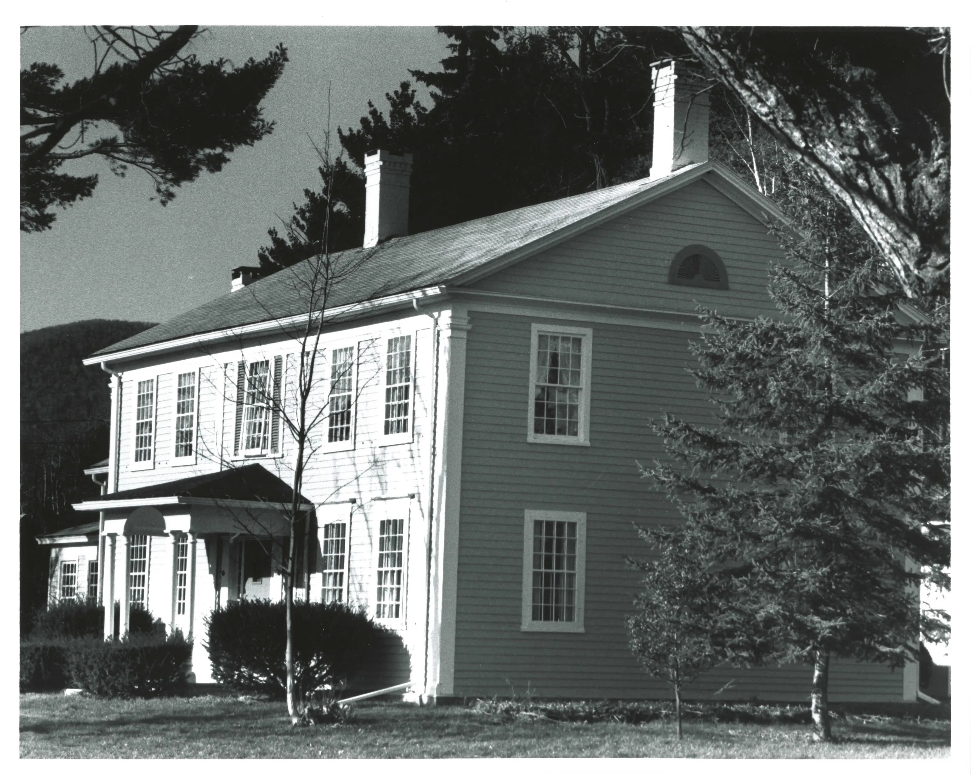
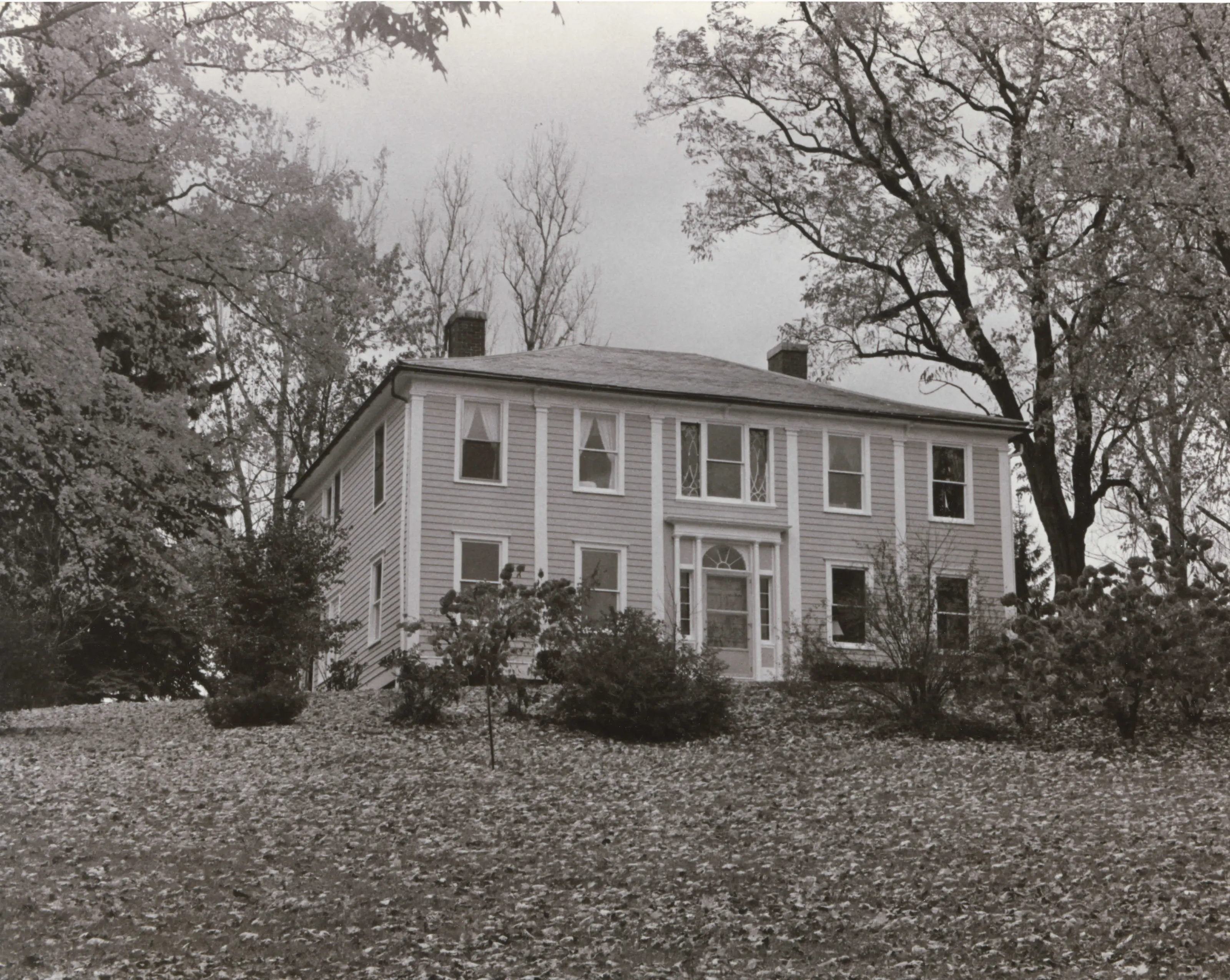
Crossroads hamlet in South Williamstown where five roads meet, also called South Center, covering about 58 acres of mostly houses with a tavern and store, a church, a school, a cemetery and a working farm. It holds 30 contributing resources, from a Second Period farmhouse to early 20th-century houses.
- Built
- ca. 1765-1942
- Style
- Georgian, Federal, Greek Revival, Late Victorian and Colonial Revival
- Significance and period
- Architecture; Social History (ca. 1765-1942)
A fourth division of lots in 1765 created four lots meeting at one point, which became South Center. A tavern, store, schoolhouse and burying ground stood there by the early 1800s. Charcoal burning and sawmills drew families.
“a well preserved cluster of resources at an important crossroads that retains its residential and institutional buildings within the rural landscape”
National Register nomination
Summary paraphrased from the nomination text; the form is linked below.
The scanned form’s text could not be separated into its description and significance sections reliably, so those two sections are not quoted here. The full form is linked below.
Sources, rights and limits
- Listing facts. National Park Service, National Register of Historic Places spatial data, queried 6 November 2026: type, year listed, landmark status, map location. U.S. government work, public domain.
- Nomination text and areas of significance. National Archives catalog record 63794330, “Massachusetts SP Five Corners Historic District”. National Register nomination forms are U.S. government records and public domain. The quoted text is the catalog’s text layer (machine reading of the scan, 2024-04-06), not a transcription.
- Photographs. Photographs are reproduced from the nomination file at the National Archives with the photographer’s credit as typed on the print; rights may remain with the photographer. Write to hello@parcenomics.com to have one removed.
- Location line. Address as in the Park Service layer.
- Outline. Town boundary from the Commonwealth’s town layer, generalized. Not a survey.