Savoy · National Register
Mohawk Trail
Site · listed 1973
- Type
- Site
- Town
- Savoy
- Listed
- 1973
- Towns
- The Park Service lists this property under “Florida and Savoy” but files it under one town; we credit it to Savoy.
- Location
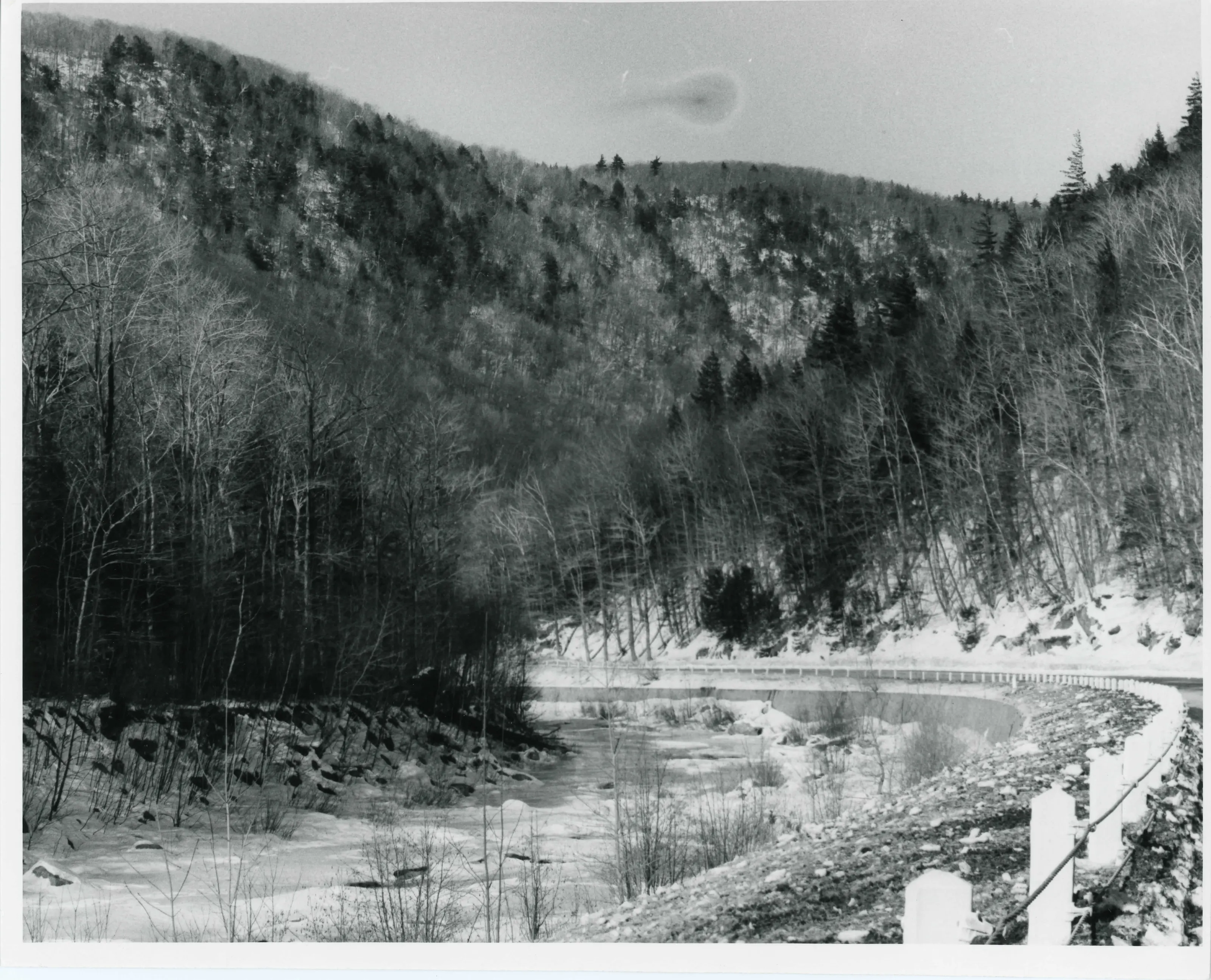
- Along the bank of the Cold River
- Areas of significance
- Aboriginal: Historic; Agriculture; Conservation; Military; Transportation
- Reference number
- 73000283
About this listing
A 3.75-mile section of an Indian pathway through the Mohawk Trail State Forest in Charlemont, Savoy and Florida, running along the north bank of the Cold River. The trail linked the Hudson and Mohawk valleys to the Deerfield and Connecticut valleys. The listing covers the course of the trail, not a built structure.
- Significance and period
- Aboriginal: Historic; Agriculture; Conservation; Military; Transportation (17th-19th centuries; state forest from 1920)
- People named
- Benedict Arnold
The Commonwealth bought over 5,000 acres for a state forest in 1920, and Civilian Conservation Corps camps made improvements there in the 1930s.
“Although the trail is no longer extant , its course along the shores of the Cold River is preserved today in its natural setting .”
National Register nomination
Summary paraphrased from the nomination text; the form is linked below.
The scanned form’s text could not be separated into its description and significance sections reliably, so those two sections are not quoted here. The full form is linked below.
Sources, rights and limits
- Listing facts. National Park Service, National Register of Historic Places spatial data, queried 6 November 2026: type, year listed, landmark status, map location. U.S. government work, public domain.
- Nomination text and areas of significance. National Archives catalog record 63794108, “Massachusetts SP Mohawk Trail”. National Register nomination forms are U.S. government records and public domain. The quoted text is the catalog’s text layer (machine reading of the scan, 2025-07-29), not a transcription.
- Photographs. Photographs are reproduced from the nomination file at the National Archives with the photographer’s credit as typed on the print; rights may remain with the photographer. Write to hello@parcenomics.com to have one removed.
- Location line. Address as in the Park Service layer.
- Outline. Town boundary from the Commonwealth’s town layer, generalized. Not a survey.