Berkshire County · The oldest map
Savoy on the USGS sheet of 1886
The Greylock sheet. Drag to pan; scroll, pinch or double-click to zoom.
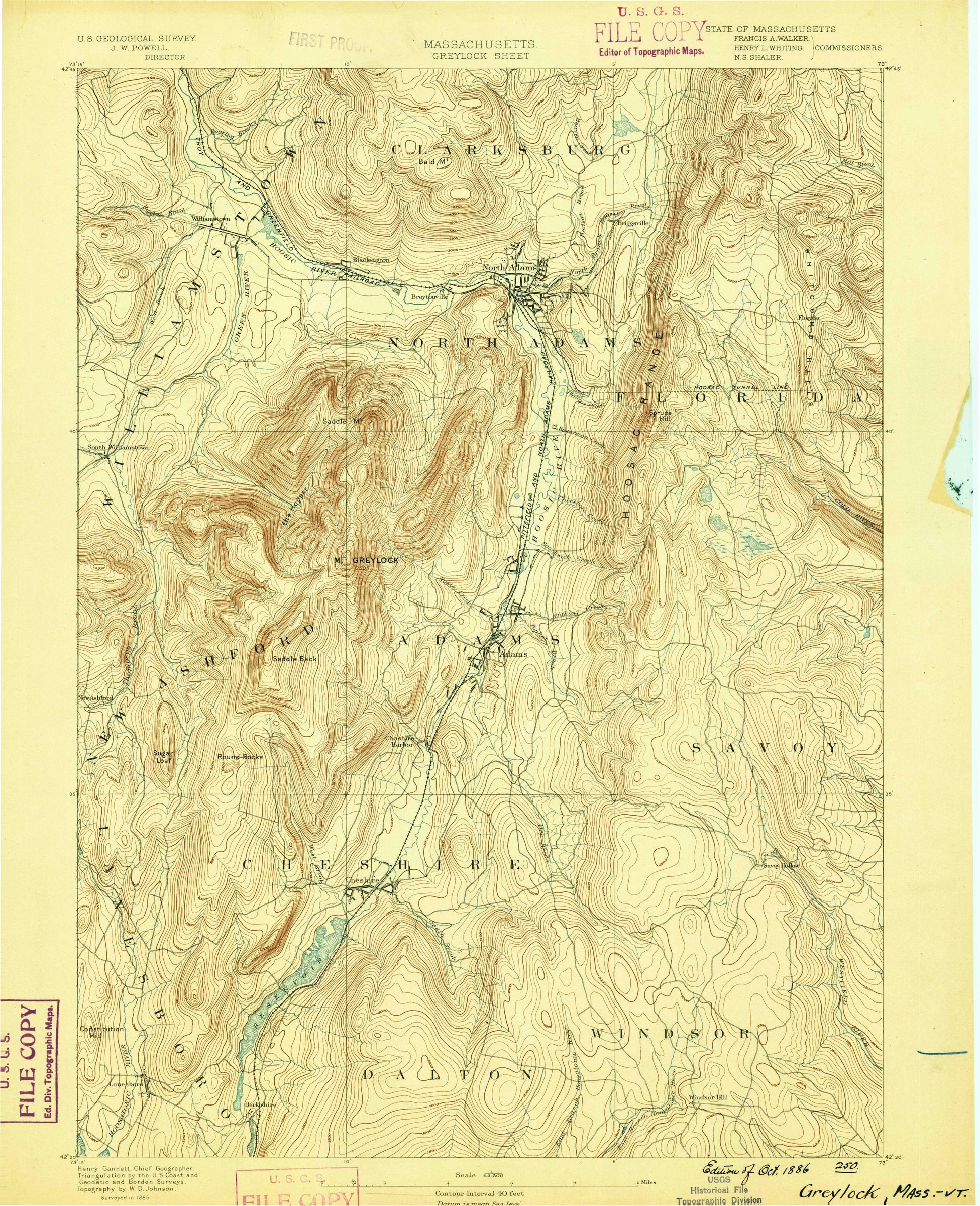
USGS Greylock sheet, 15-minute series, scale 1:62,500, dated 1886 on the map, from a survey of 1885; catalog edition “Historical”; scan 352738. U.S. Geological Survey Historical Topographic Map Collection; USGS work, public domain. The green line is Savoy’s present boundary, placed from the sheet’s own georeferencing (polyconic, NAD27); it can sit tens of meters off the printed features, and part of Savoy lies on neighboring sheets. Download the full sheet (PDF)