Sandisfield · National Register
Montville Baptist Church
Building · listed 2006
- Type
- Building
- Town
- Sandisfield
- Listed
- 2006
- Location
- 5 Hammertown Rd.
- Areas of significance
- Architecture; Ethnic History: European (Jewish); Religion; Social History; Community Planning and Development
- Architectural classification
- Greek Revival
- Reference number
- 06000936
About this listing
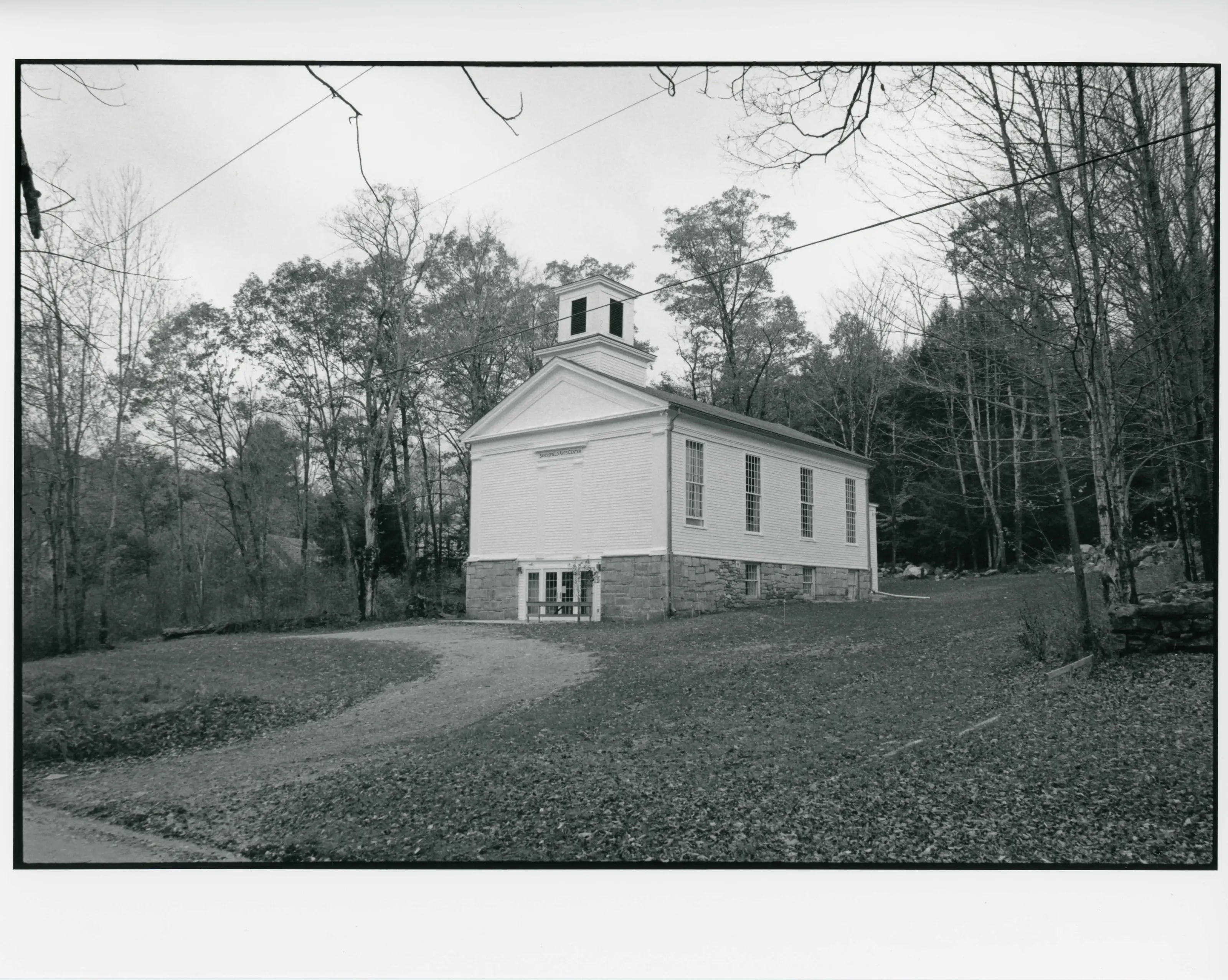
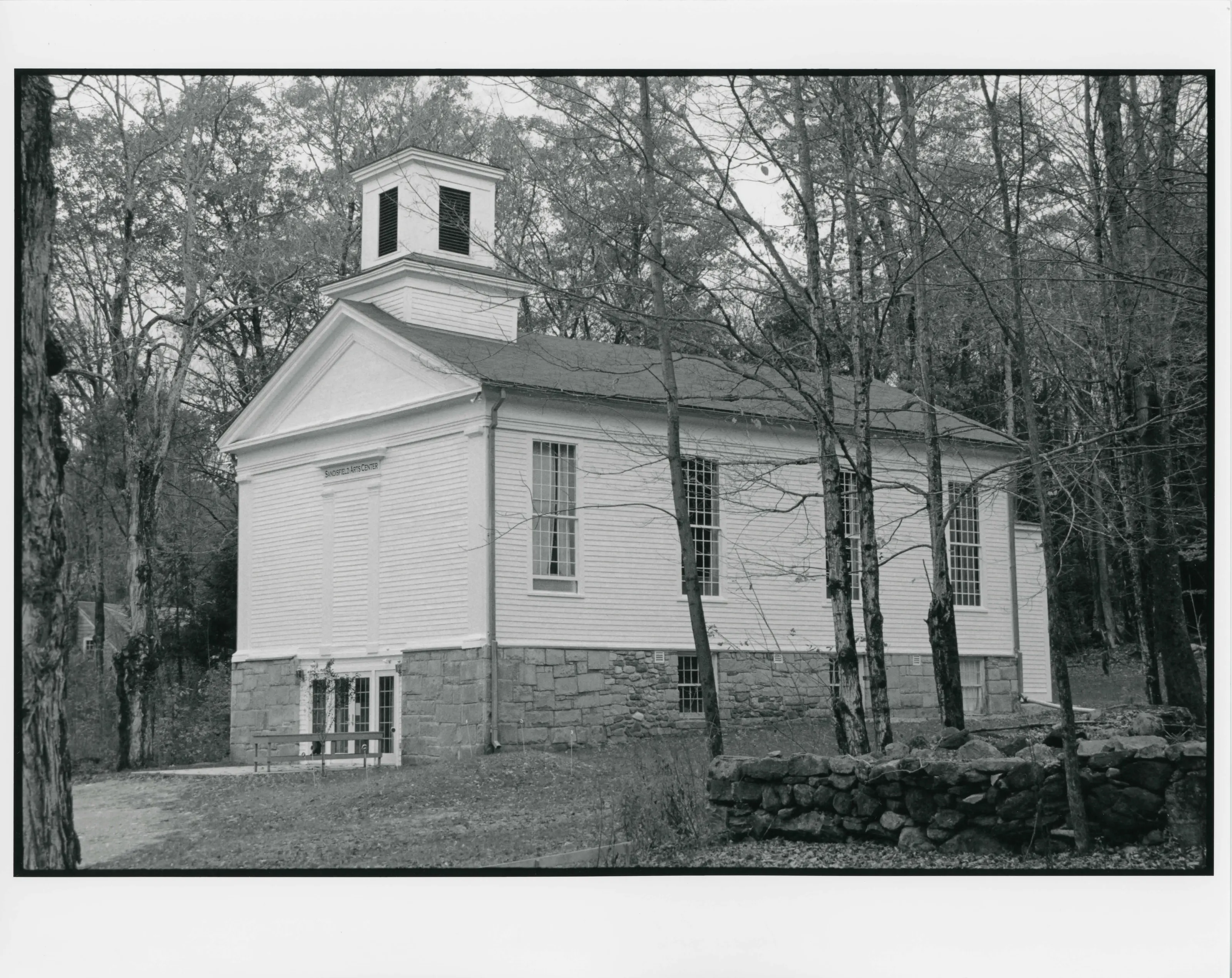
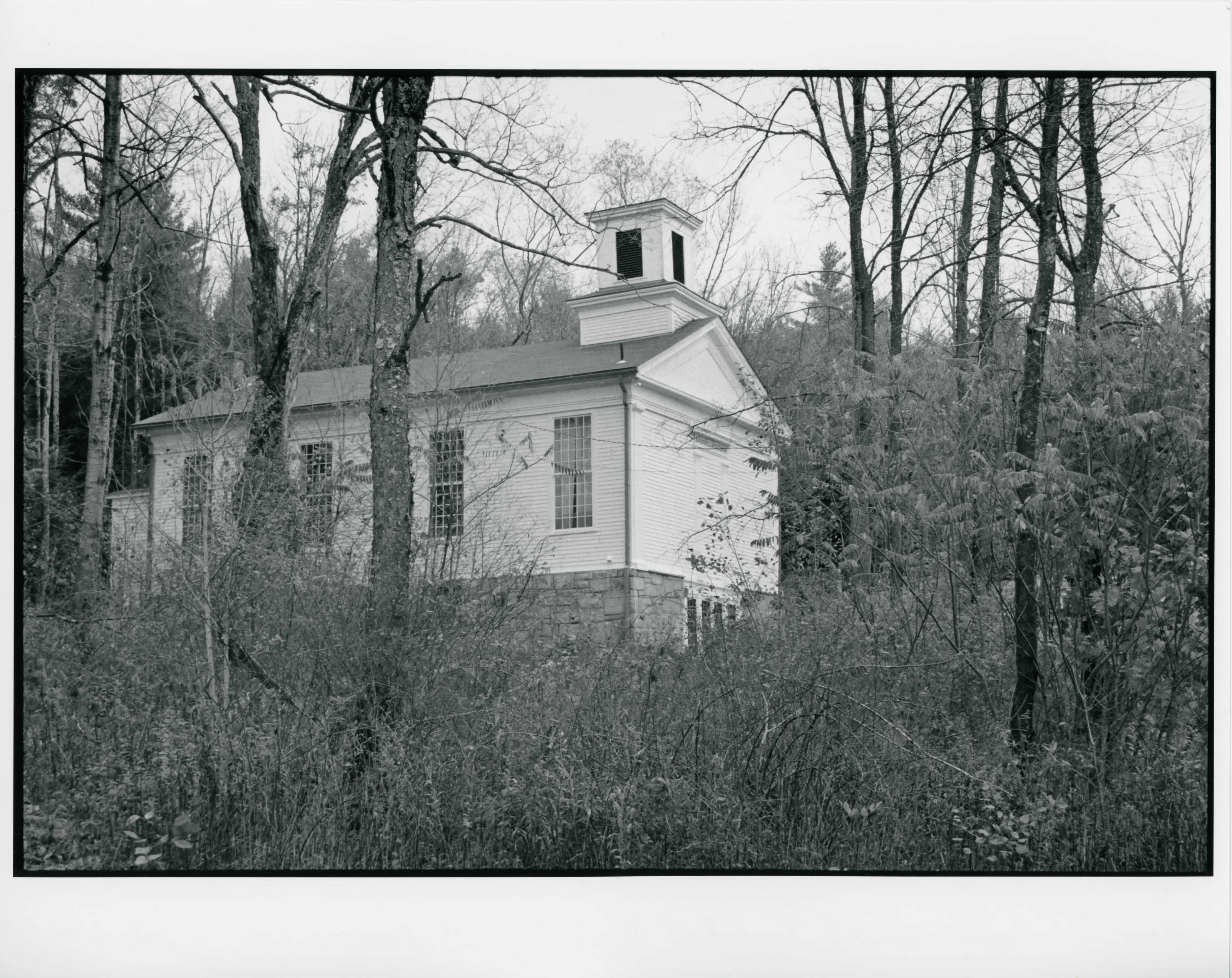
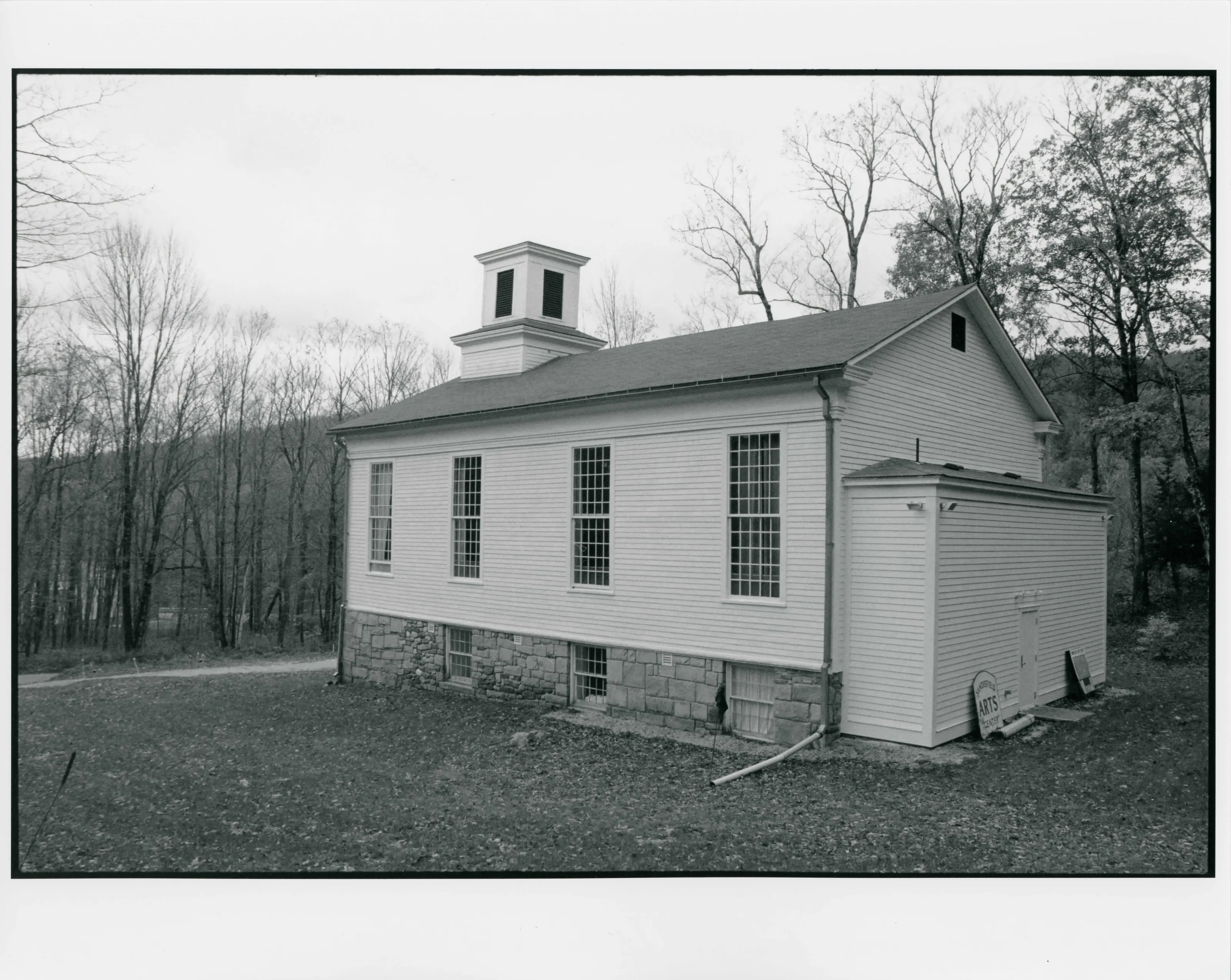
Wood-frame Greek Revival meetinghouse on Hammertown Road, Sandisfield, built in 1839 as the Montville Baptist Church. It became the Sons of Abraham Orthodox Jewish synagogue after 1921 and a community arts center in 1996. The nomination calls it Sandisfield's most distinctive public building in the Greek Revival style.
- Built
- 1839
- Architect / builder
- C. Barker and M. Crittenden (Otis); L. Barker and J. P. Bentley (South Sandisfield)
- Style
- Greek Revival (vernacular)
- Significance and period
- Architecture; Religion; Ethnic Heritage (1839-1956)
Used as a Baptist meetinghouse from 1839 to 1920 and as a synagogue from 1921 to 1996, the building reflects the arrival of Eastern European immigrants in rural Berkshire County after World War I.
“Sandisfield's most distinctive public building in the Greek Revival style”
National Register nomination
Summary paraphrased from the nomination text; the form is linked below.
What the nomination says it is
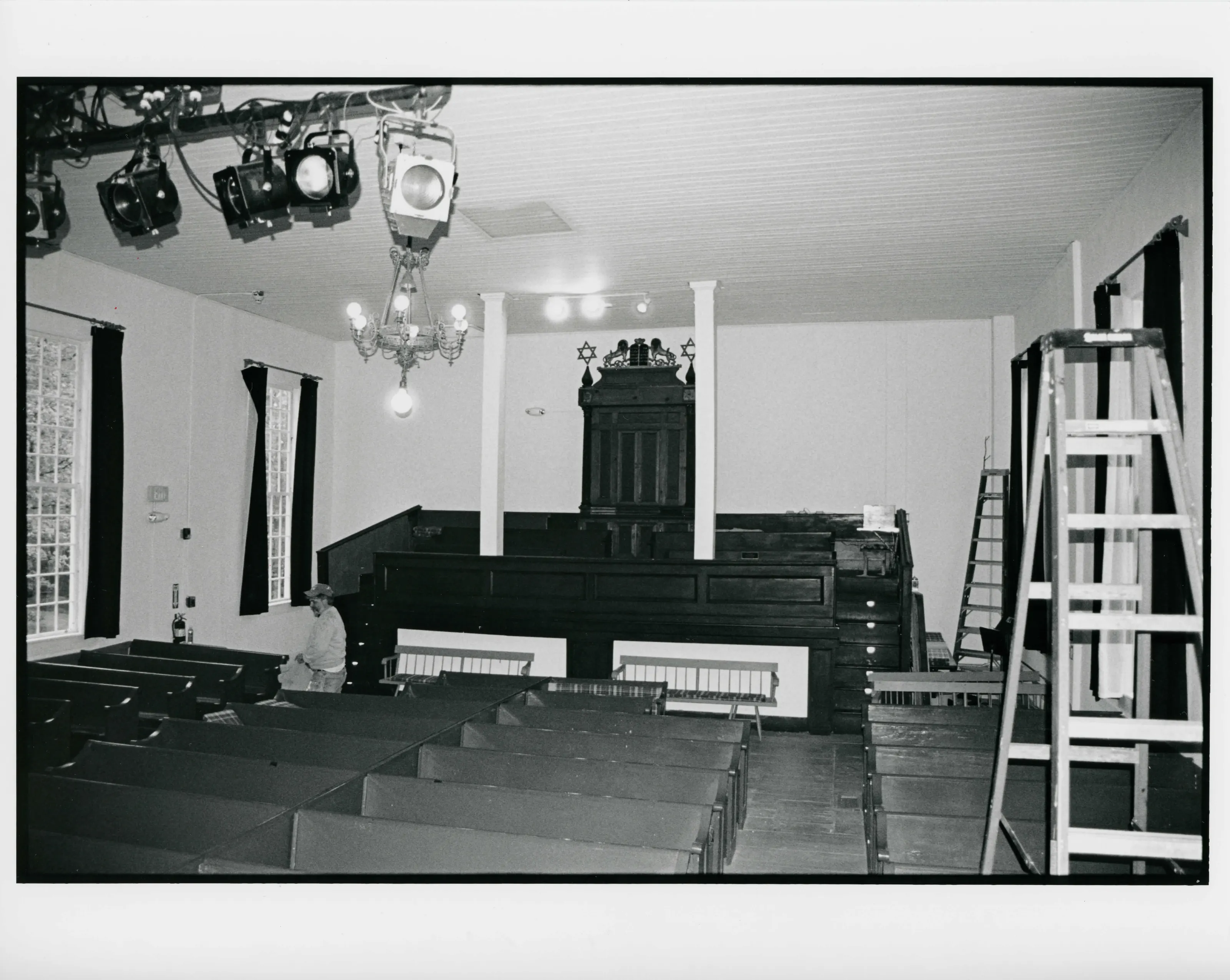
The building's current appearance reflects three periods of use as a Baptist meetinghouse (1839), an Orthodox Jewish synagogue (1921), and a community arts center (1996).
From the National Register nomination, 2006.
Why it is on the Register
HISTORICAL SIGNIFICANCE The Montville Baptist Church (later the Sons of Abraham synagogue) encapsulates the pattem of 19* century settlement in westem Massachusetts and the dramatic impact of European immigration on mral communities in the early 20* century. As a Baptist meetinghouse from 1839 to 1920, the building represents a common religious preference of the working-class Yankee population of the 19* century. As an Orthodox Jewish synagogue from 1921 to 1996, the building also represents the assimilation of Eastem European immigrants in the years following World War I. Through its history of use, the Montville meetinghouse meets National Register Criterion A at the local level.
From the National Register nomination, 2006.
Quoted from the scanned form as the National Archives’ text layer reads it. Line breaks are joined; reading errors are left as they are.
Nearby listings in Sandisfield
Sources, rights and limits
- Listing facts. National Park Service, National Register of Historic Places spatial data, queried 6 November 2026: type, year listed, landmark status, map location. U.S. government work, public domain.
- Nomination text and areas of significance. National Archives catalog record 63794278, “Massachusetts SP Montville Baptist Church”. National Register nomination forms are U.S. government records and public domain. The quoted text is the catalog’s text layer (machine reading of the scan, 2025-07-29), not a transcription.
- Photographs. Photographs are reproduced from the nomination file at the National Archives with the photographer’s credit as typed on the print; rights may remain with the photographer. Write to hello@parcenomics.com to have one removed.
- Location line. Address as in the Park Service layer.
- Outline. Town boundary from the Commonwealth’s town layer, generalized. Not a survey.