North Adams · National Register
Hillside Cemetery
Site · listed 2001
- Type
- Site
- Town
- North Adams
- Listed
- 2001
- Multiple property listing
- North Adams MRA
- Location
- West Main St.
- Areas of significance
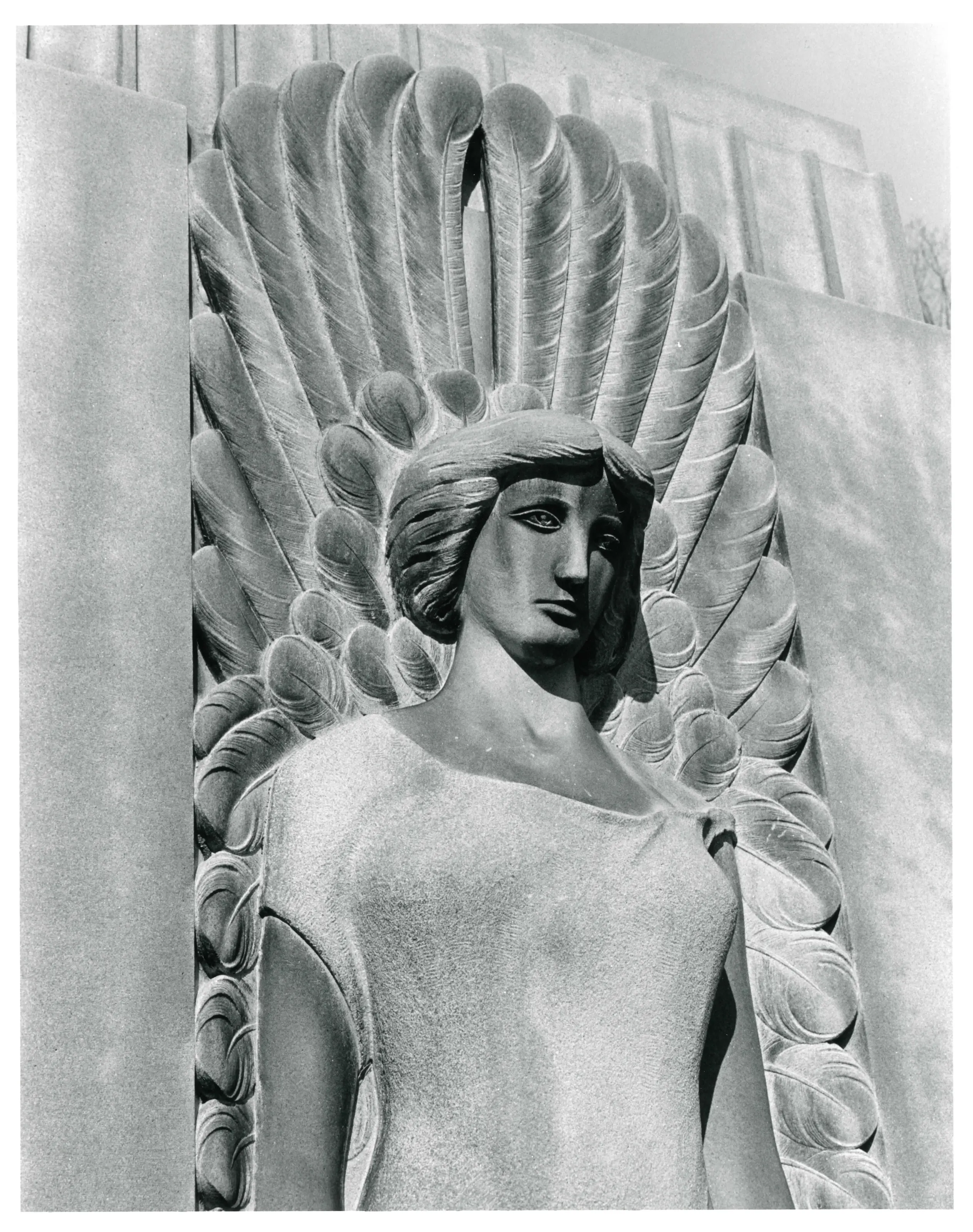
- Art; Architecture; Community Planning and Development; Landscape Architecture; Social History
- Reference number
- 01000722
About this listing
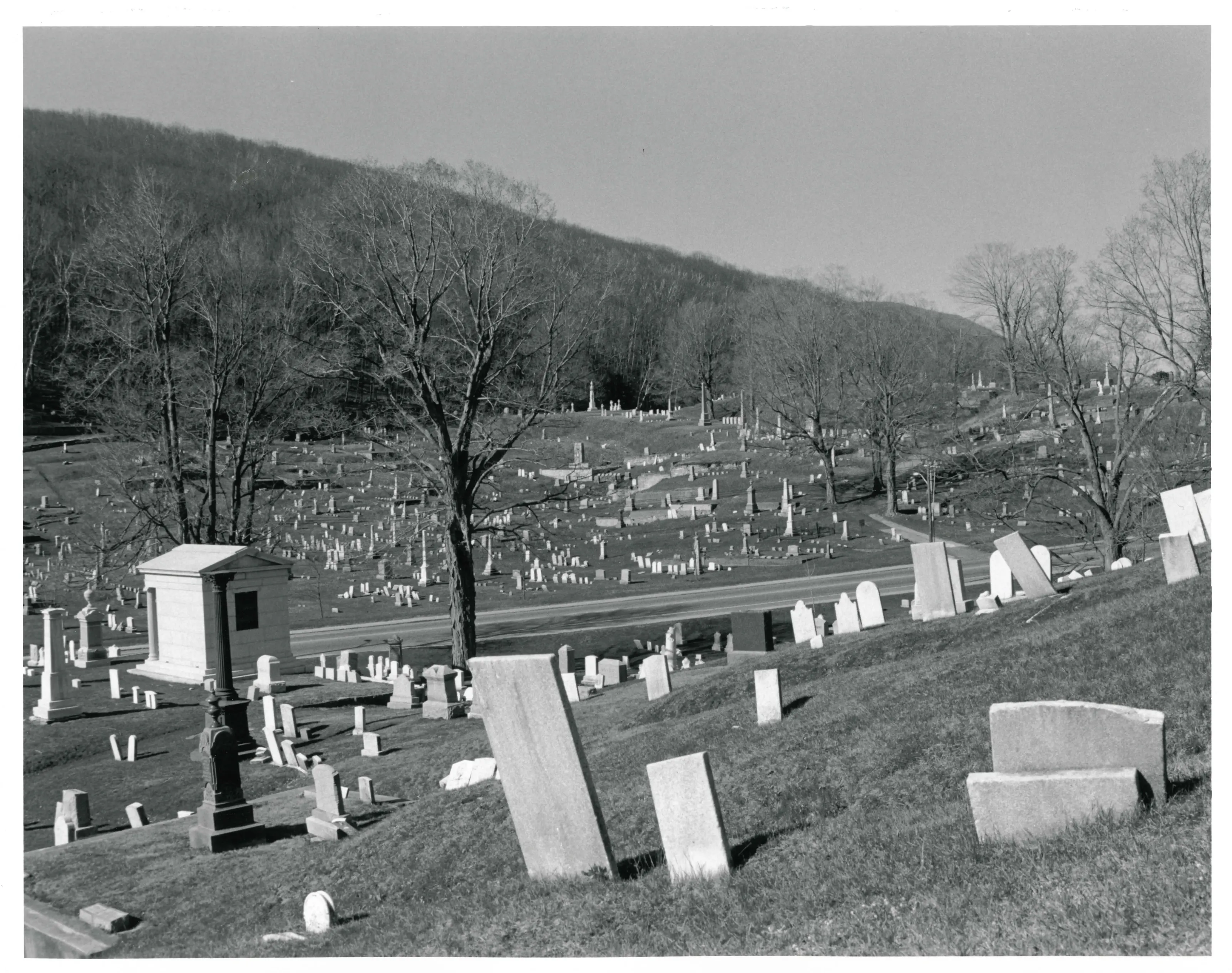
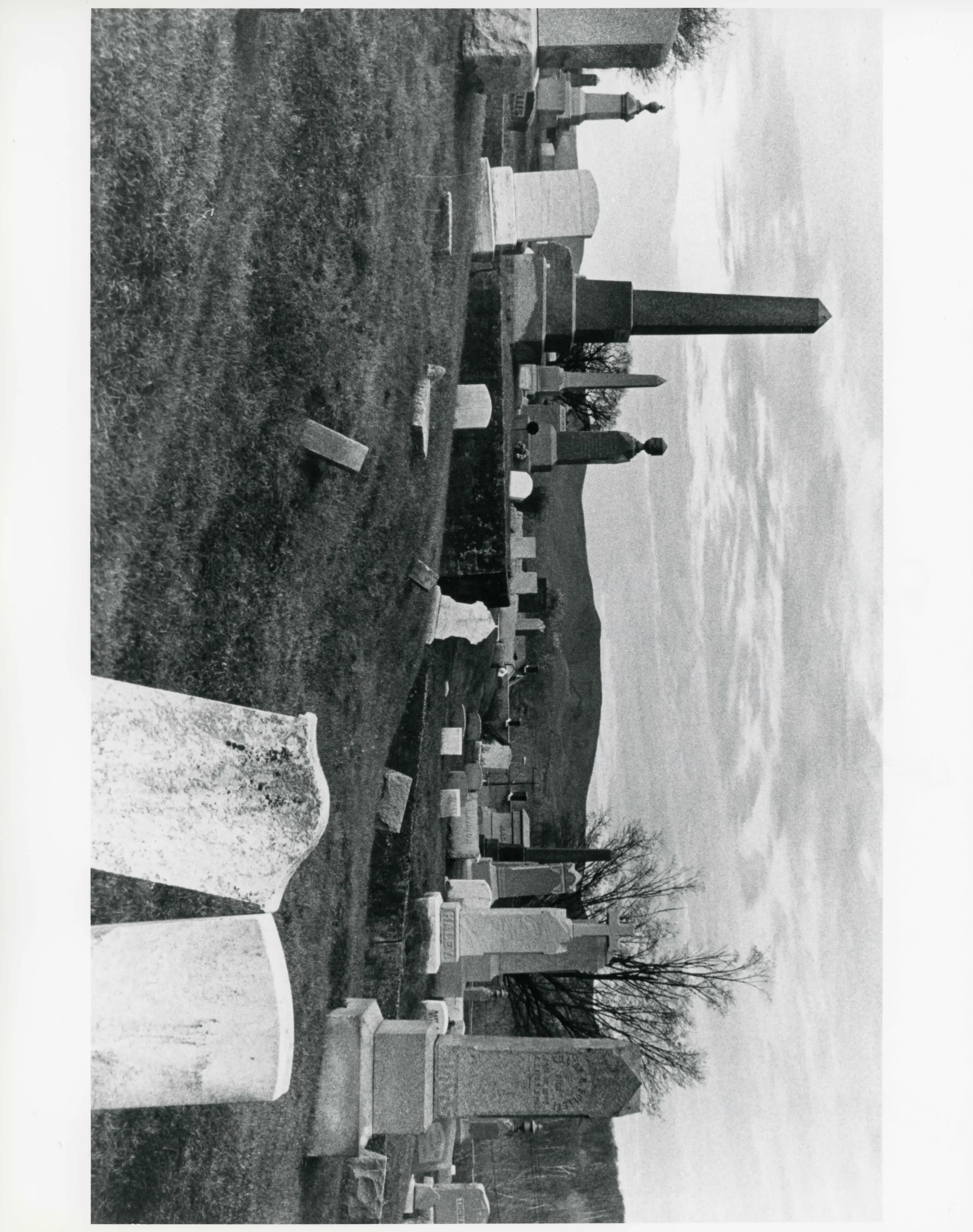
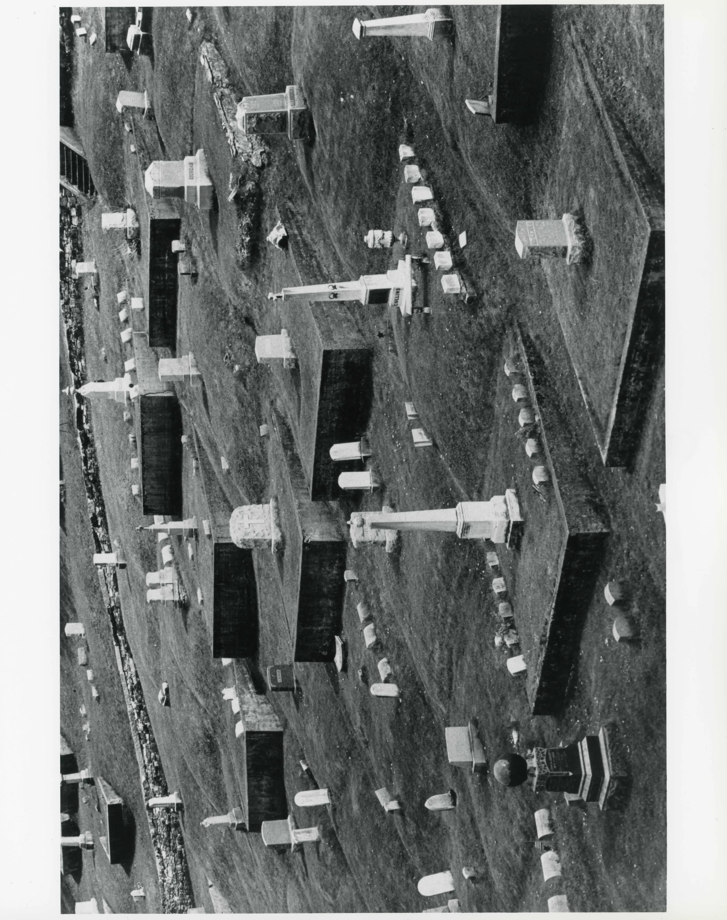
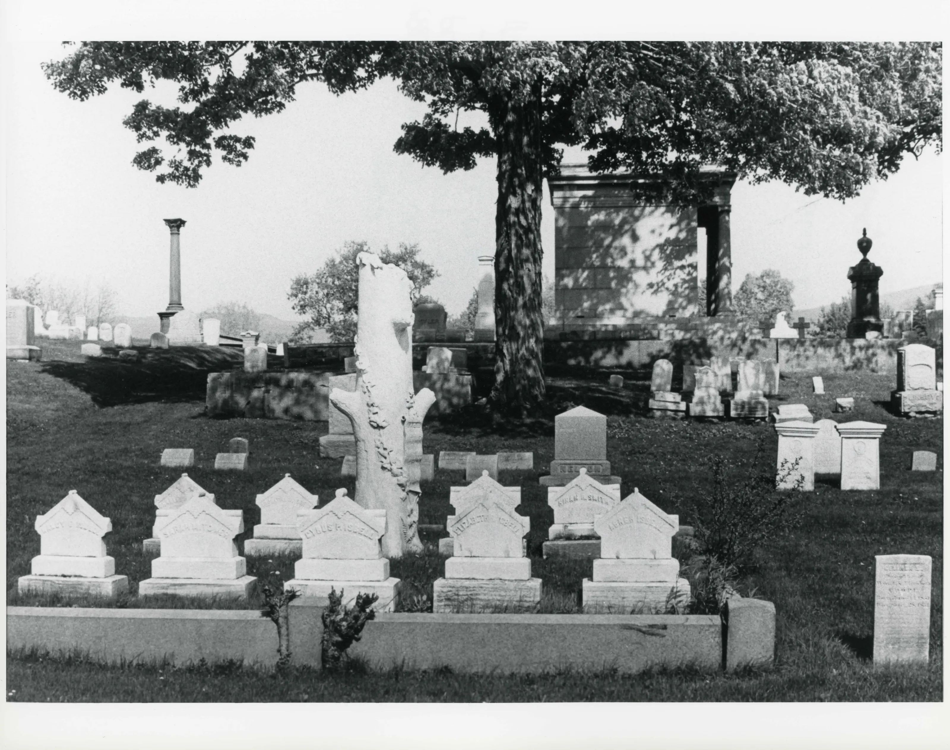
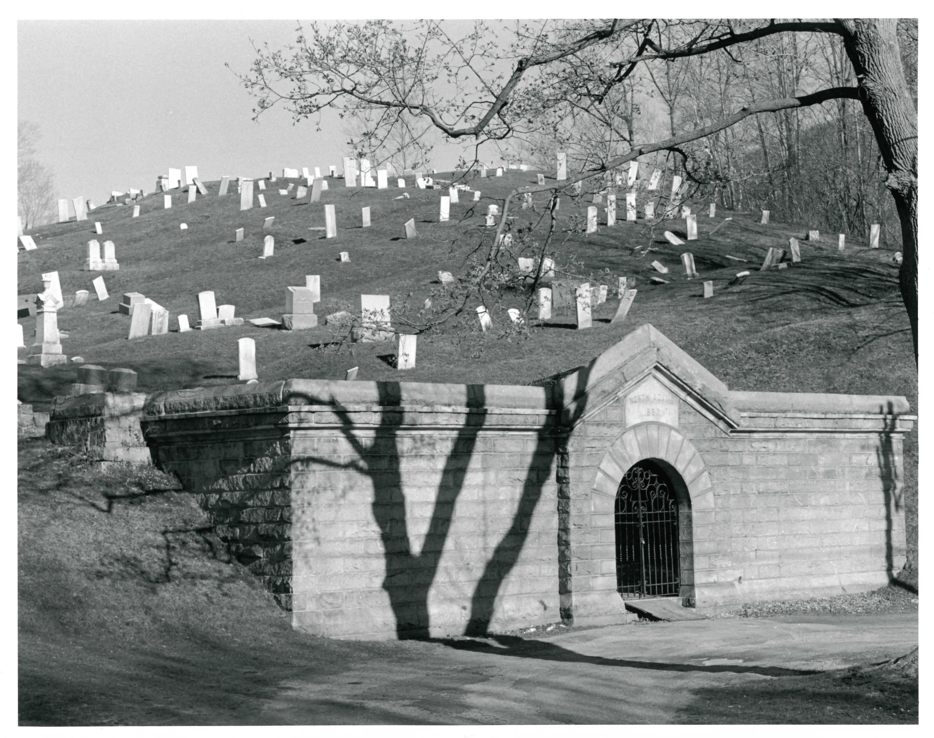
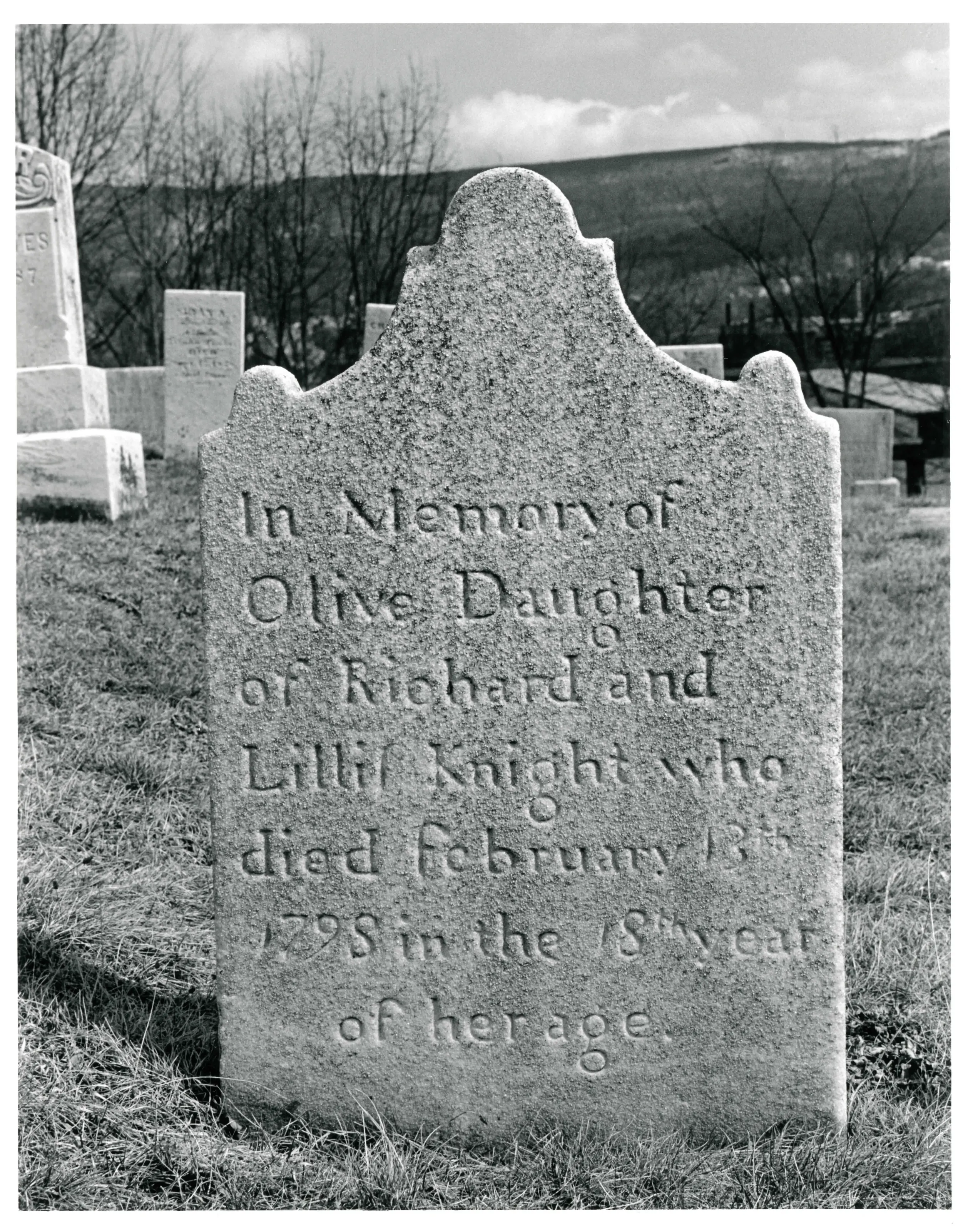
Cemetery on West Main Street in North Adams, divided by the early road to Williamstown. The north hill was laid out by 1798 and the south hill by 1858.
- Built
- north hill by 1798; south hill by 1858
- Architect / builder
- Col. F. W. Merriam
- Significance and period
- Art; Architecture; Community Planning and Development
“The north hill of Hillside Cemetery was laid out by 1798, and the south hill by 1858.”
National Register nomination
Summary paraphrased from the nomination text; the form is linked below.
What the nomination says it is
Hillside Cemetery/TVorth Adams MRA Hillside Cemetery lies on eighteen acres at the westem edge of the city of North Adams, Massachusetts. Once a small burying ground overlooking the city. Hillside now stands surrounded by Brown Street to the east, a residential neighborhood to the west and the foot of Mount Greylock to the south.
From the National Register nomination, 2001.
Why it is on the Register
Hillside Cemetery, West Main Street, North Adams, possesses integrity of location, design, setting, materials, workmanship, feeling, and association, and meets National Register criteria A and C on the local level. Encircled by the Berkshire Mountains, Hillside Cemetery is divided by the early road from North Adams to Williamstown (now MA Route 2). The north hill of Hillside Cemetery was laid out by 1798, and the south hill by 1858.
From the National Register nomination, 2001.
Quoted from the scanned form as the National Archives’ text layer reads it. Line breaks are joined; reading errors are left as they are.
Nearby listings in North Adams
- Armstrong House
- Arnold Print Works
- Beaver Mill
- Blackinton Historic District
- Boardman, The
- Browne, Charles, House
- Church Street Historic District
- Church Street--Caddy Hill Historic District (Boundary Increase)
- Crowley House
- Freeman's Grove Historic District
- Freight Yard Historic District
- H.W. Clark Biscuit Company
- Hathaway Tenement
- Hoosac Tunnel
- Johnson Manufacturing Company
- Johnson School
- Monument Square--Eagle Street Historic District
- Monument Square--Eagle Street Historic District (Boundary Increase)
- Norad Mill
- Normal School Historic District
- Sherman, Eber, Farm
- Sherman, William B., Farm
- St. Joseph's School
- Sykes House
- Wells House
- Windsor Print Works
Sources, rights and limits
- Listing facts. National Park Service, National Register of Historic Places spatial data, queried 6 November 2026: type, year listed, landmark status, map location. U.S. government work, public domain.
- Nomination text and areas of significance. National Archives catalog record 63789249, “Massachusetts MPS Hillside Cemetery”. National Register nomination forms are U.S. government records and public domain. The quoted text is the catalog’s text layer (machine reading of the scan, 2025-07-29), not a transcription.
- Photographs. Photographs are reproduced from the nomination file at the National Archives with the photographer’s credit as typed on the print; rights may remain with the photographer. Write to hello@parcenomics.com to have one removed.
- Location line. Address as in the Park Service layer.
- Outline. Town boundary from the Commonwealth’s town layer, generalized. Not a survey.