New Marlborough · National Register
New Marlborough Village
Historic district · listed 1982
- Type
- Historic district
- Town
- New Marlborough
- Listed
- 1982
- Location
- MA 57, New Marlborough, Monterey and Southfield Rds.
- Areas of significance
- Archeology: Historic; Agriculture; Architecture; Education; Exploration/Settlement; Industry; Military; Religion; Transportation
- Architectural classification
- Georgian; Federal; Greek Revival; Colonial Revival; Italianate
- Reference number
- 82001896
About this listing
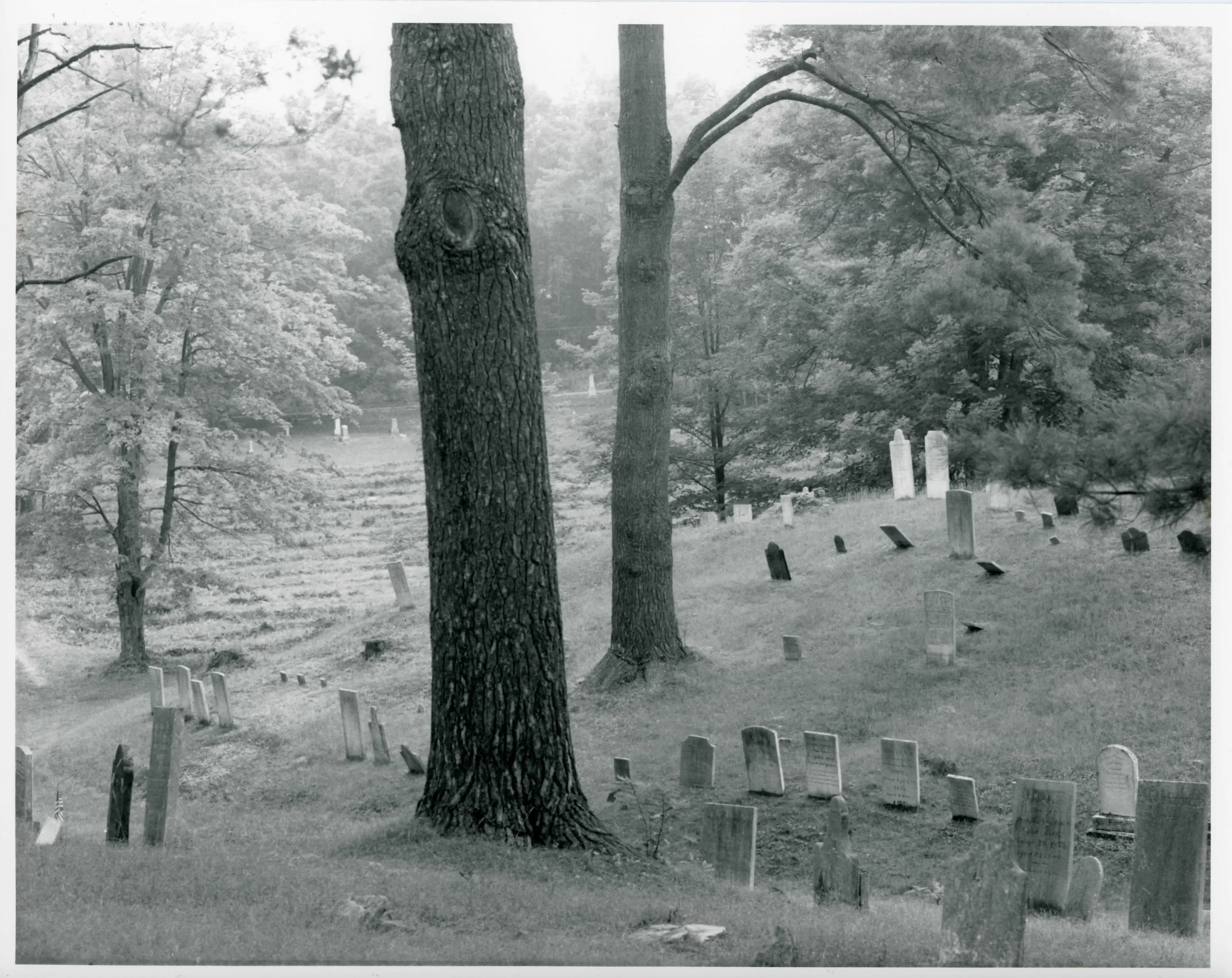
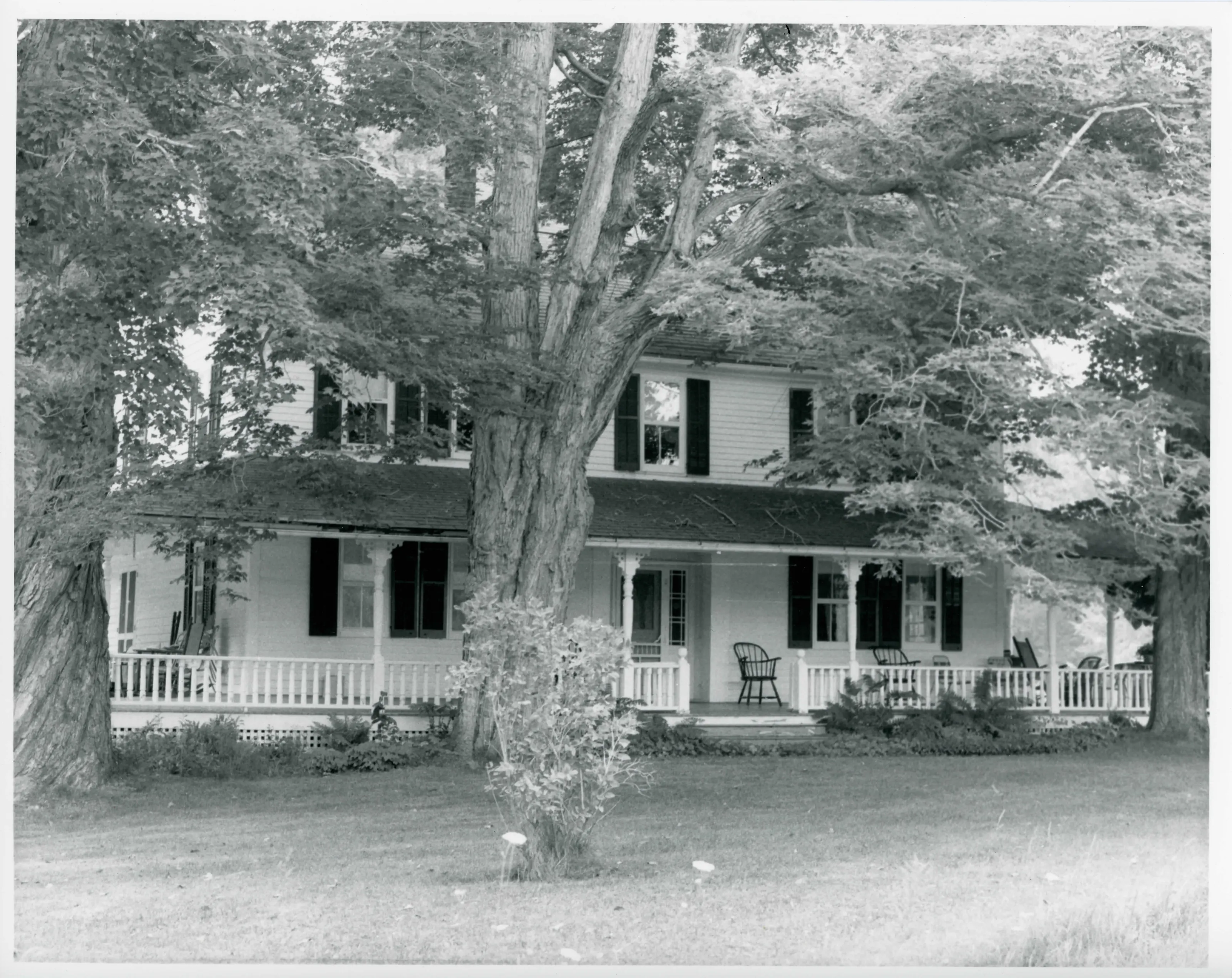
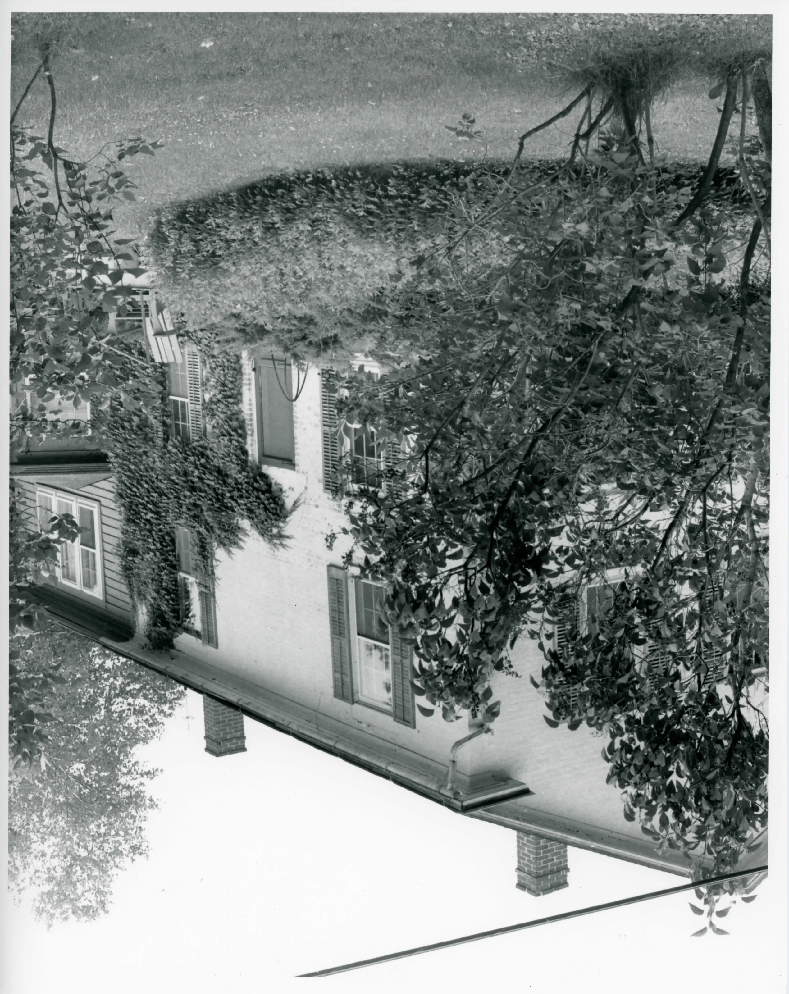
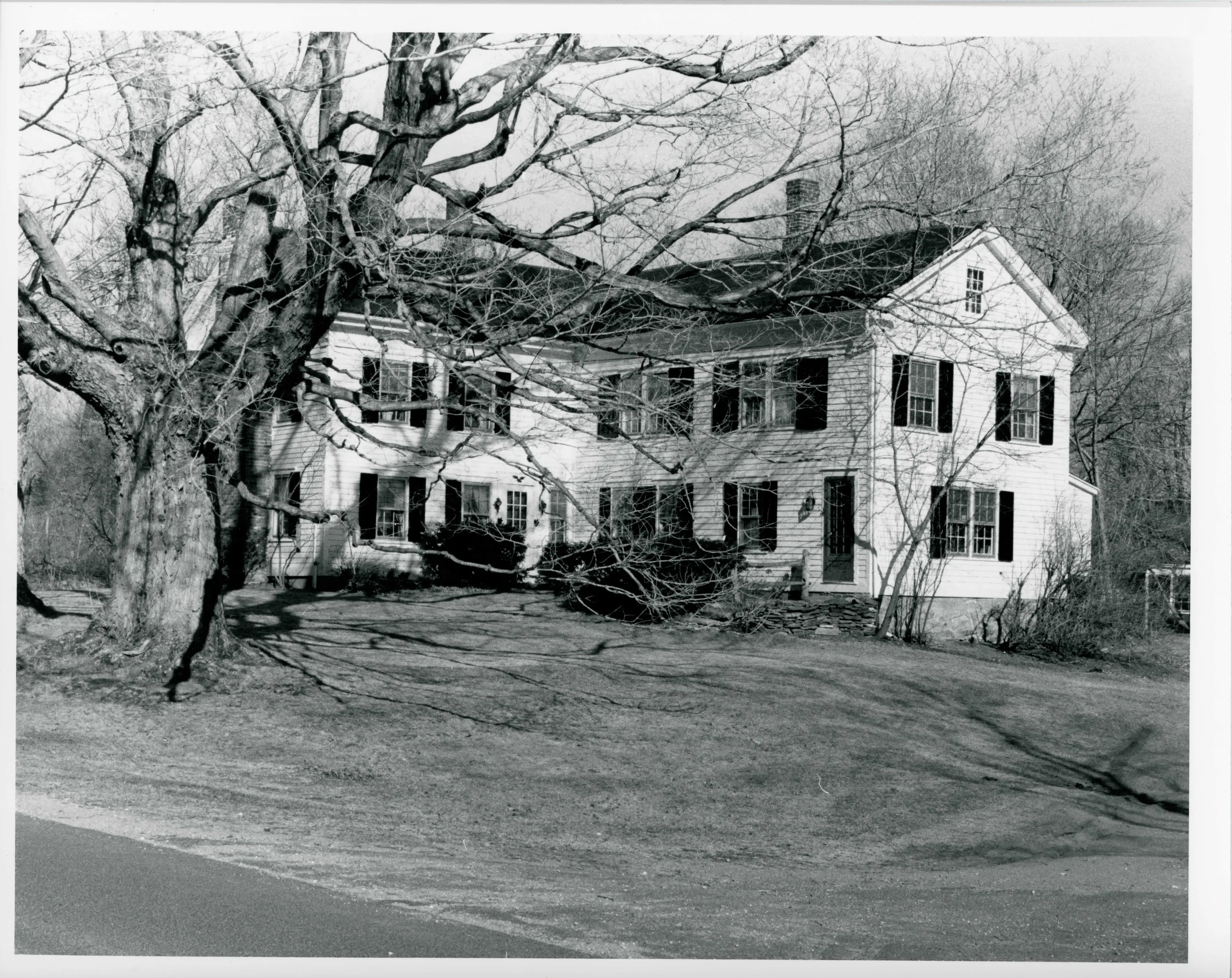
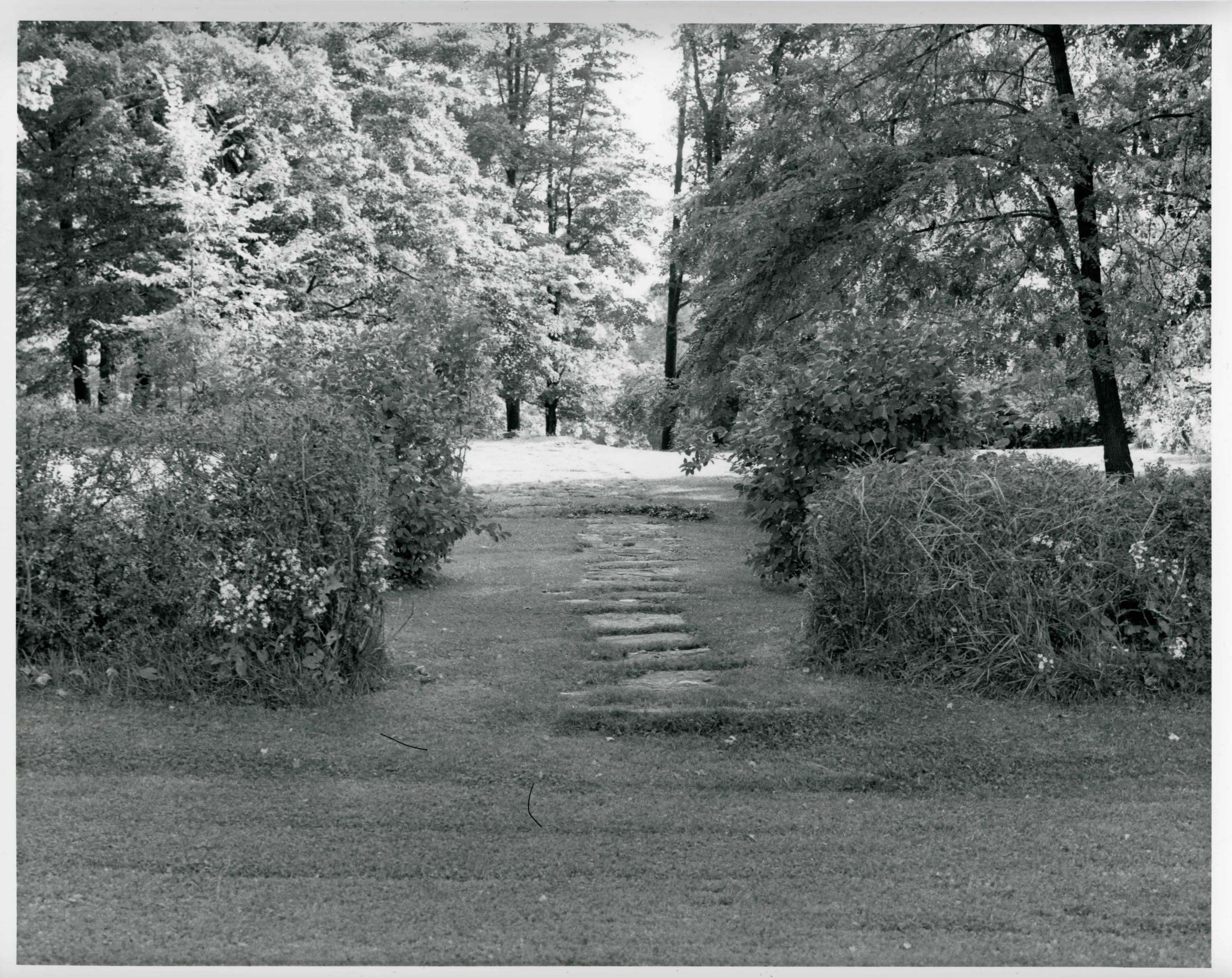
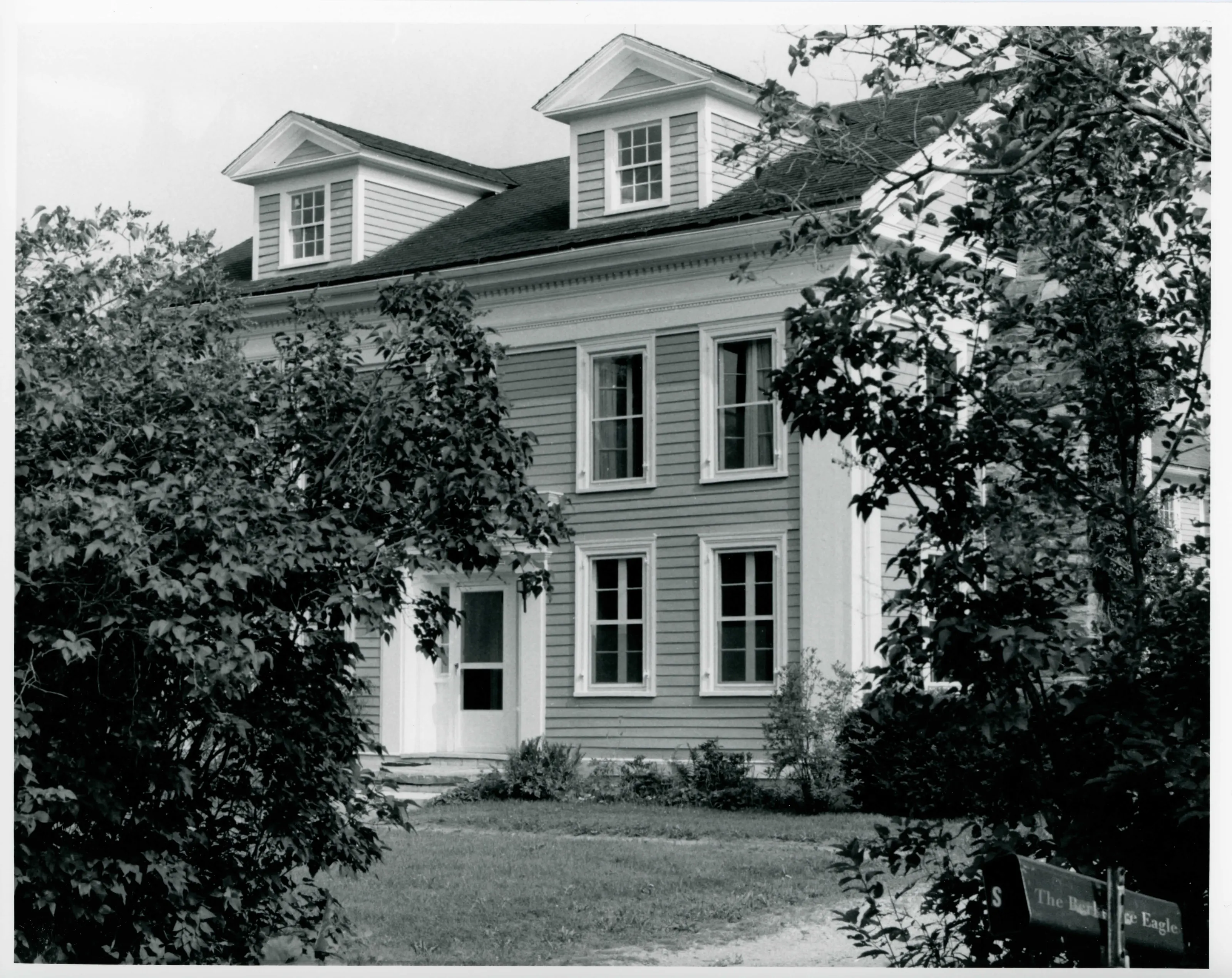
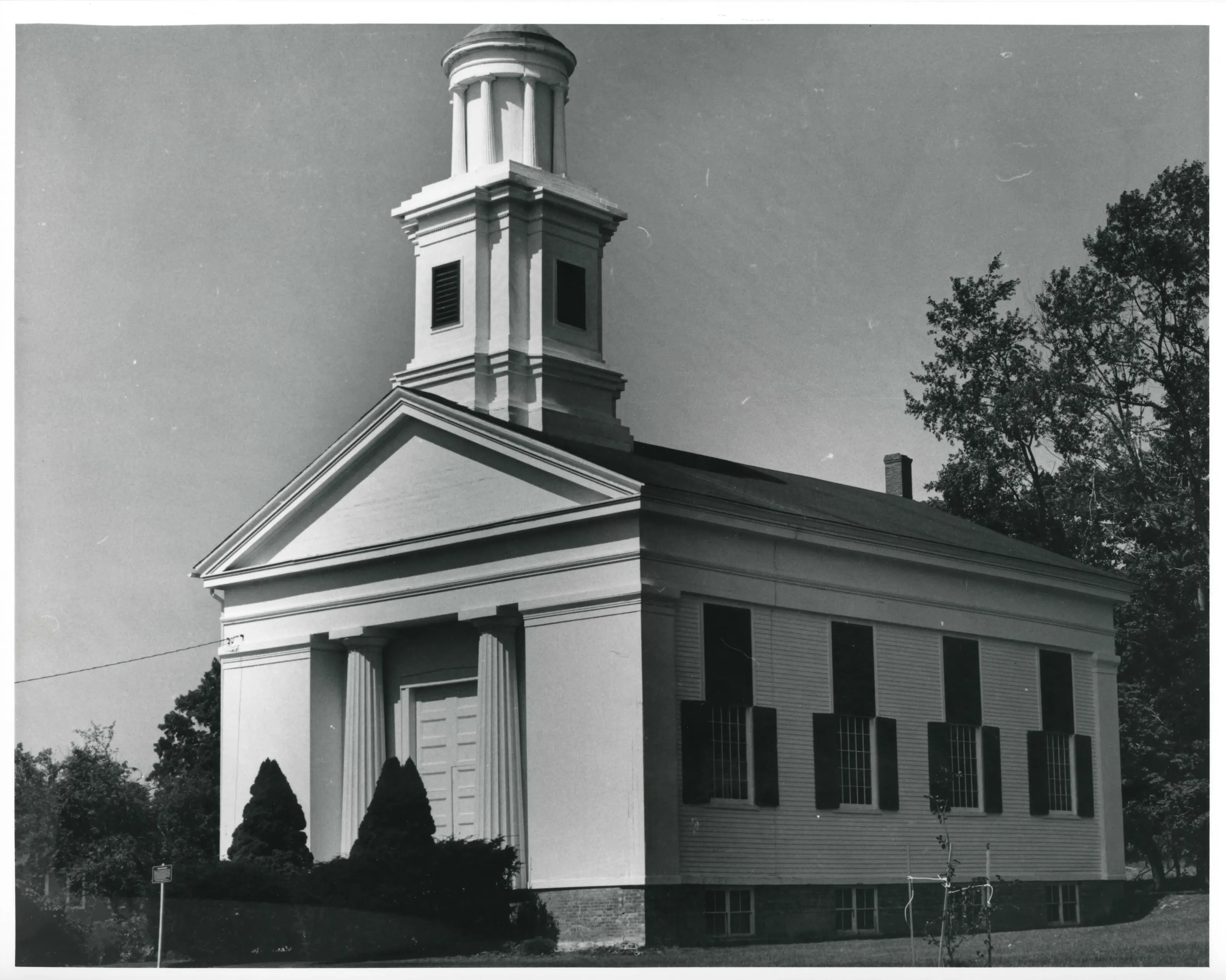
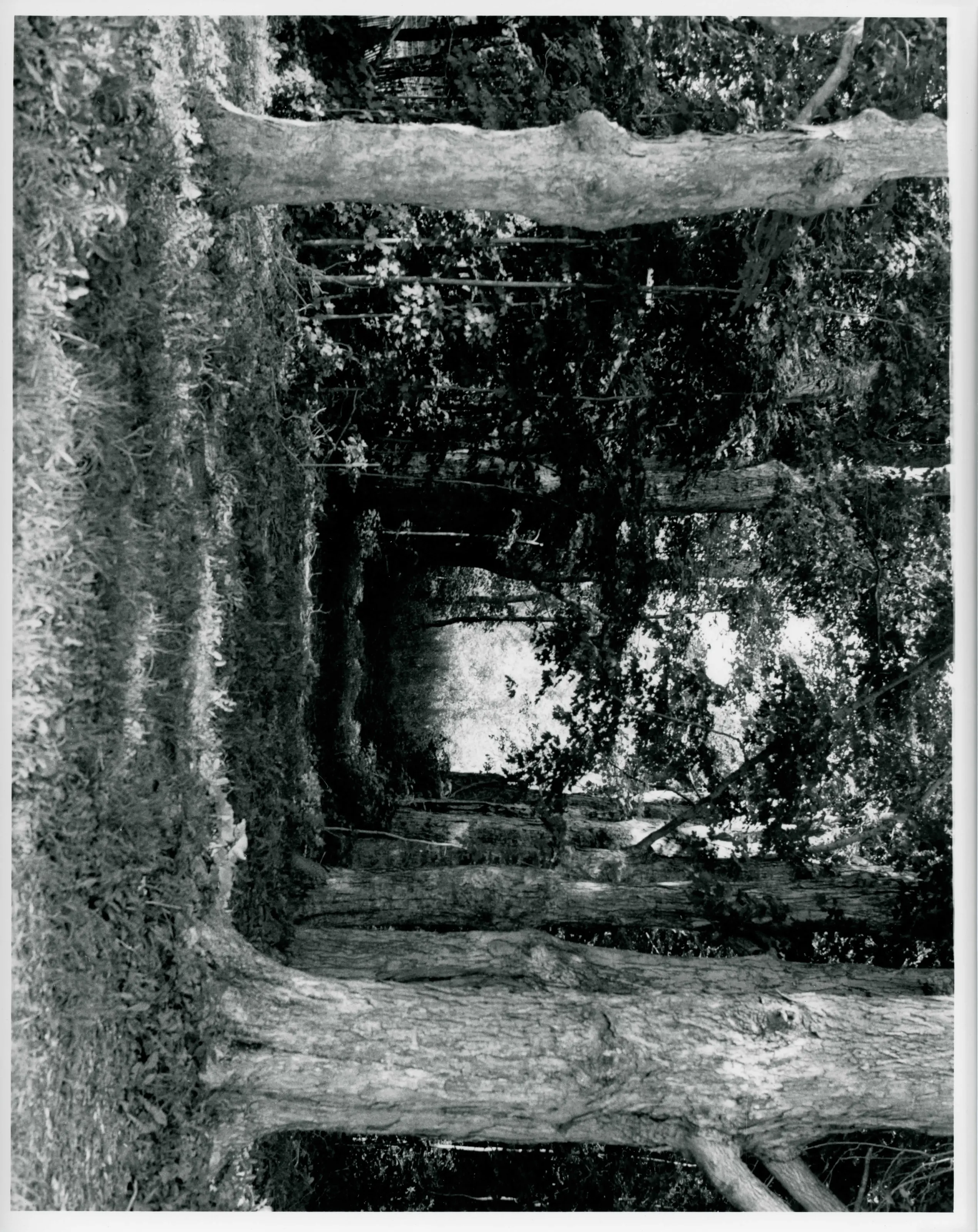
Village of 214.48 acres clustered around a green on Route 57, which the nomination calls the oldest of New Marlborough's five villages. It has 21 buildings, six historic archaeological sites, the green with its monument, the Old Burial Ground and a cemetery. Mostly wood-frame Georgian, Federal and Greek Revival farmhouses, from the 1740s on.
- Built
- 1745-late 19th century
- Style
- Georgian, Federal and Greek Revival
- Significance and period
- Architecture; Community planning and development; Historic archaeology
- People named
- Benjamin Wheeler; Thomas Strong; Jacob Catlin
Benjamin Wheeler, the town's first settler, wintered here in 1739-1740 in a cabin. The village sat on the Hartford to Albany stage line in the first half of the 19th century.
“the original settlement of Township Number Two, now New Marlborough”
National Register nomination
Summary paraphrased from the nomination text; the form is linked below.
The scanned form’s text could not be separated into its description and significance sections reliably, so those two sections are not quoted here. The full form is linked below.
Nearby listings in New Marlborough
Sources, rights and limits
- Listing facts. National Park Service, National Register of Historic Places spatial data, queried 6 November 2026: type, year listed, landmark status, map location. U.S. government work, public domain.
- Nomination text and areas of significance. National Archives catalog record 63794134, “Massachusetts SP New Marlborough Village”. National Register nomination forms are U.S. government records and public domain. The quoted text is the catalog’s text layer (machine reading of the scan, 2025-07-29), not a transcription.
- Photographs. Photographs are reproduced from the nomination file at the National Archives with the photographer’s credit as typed on the print; rights may remain with the photographer. Write to hello@parcenomics.com to have one removed.
- Location line. Address as in the Park Service layer.
- Outline. Town boundary from the Commonwealth’s town layer, generalized. Not a survey.