Commonwealth · Habitat, forest and water · Trees of Massachusetts, a field guide ↗
Core habitat, share of land
Show: Share this map
NHESP has documented 409 state-listed species across the 351 municipalities; since 2001 the most have been recorded in Sheffield (75) and Nantucket (72). Rare species of Massachusetts, the guide ›
Two field guides
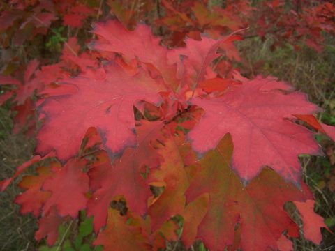
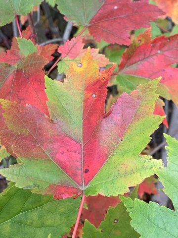
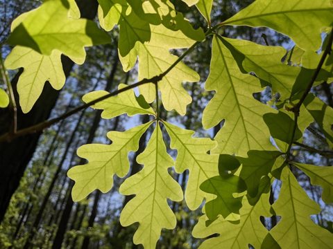
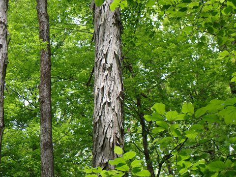
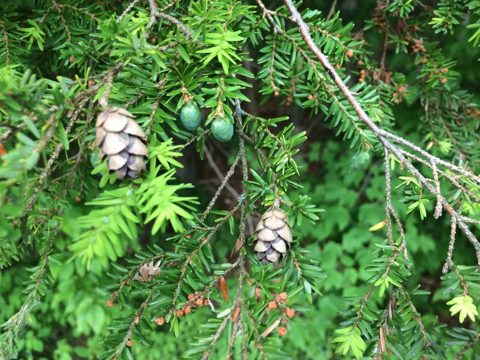 Trees of MassachusettsA pocket field guide to 83 trees, from the state’s 1925 and 2016 forestry manuals: leaves, bark, where each grows.83 trees ›
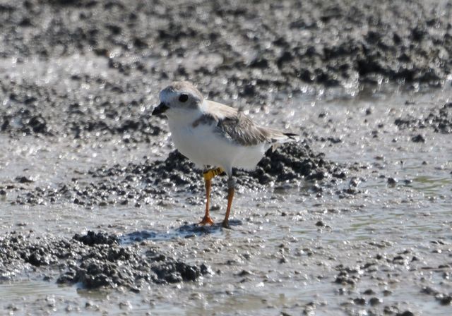
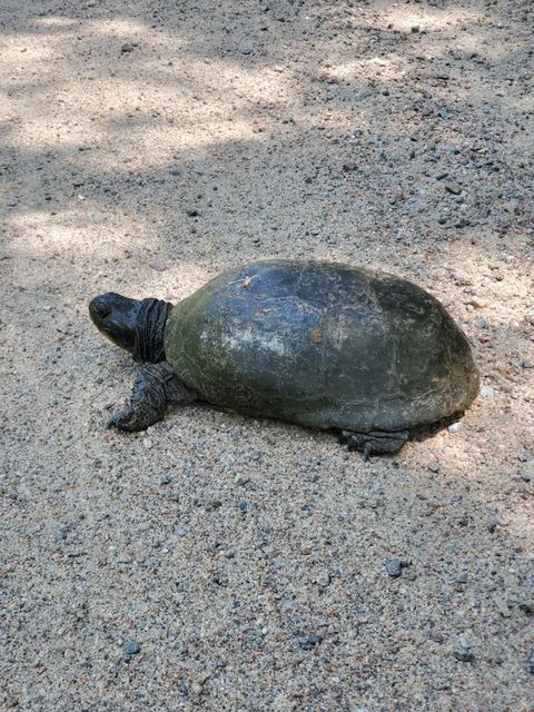
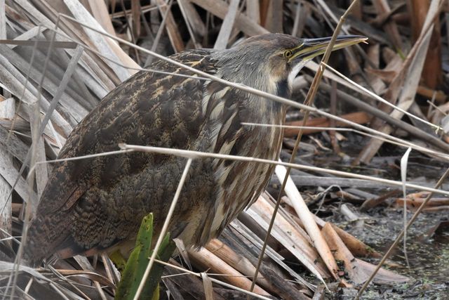
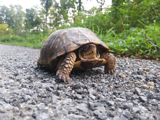
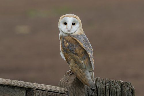 Rare species of MassachusettsThe 453 plants and animals on the state’s Endangered Species Act list, with photographs, and the cities and towns where MassWildlife has recorded each one.453 species · 351 towns ›
| Rank | Municipality | County | Value |
|---|
Sources: MassWildlife BioMap 2022 and NHESP; MassDEP wetlands (open water excluded) and 2022 Integrated List; MassGIS land use 1971 and 1999; USGS Annual NLCD land cover, 2001 and 2023 (Collection 1). Acres are mapped acres inside municipal boundaries; shares are of Census 2020 land area. Method.