Cheshire · National Register
Stafford Hill Memorial
Structure · listed 1986
- Type
- Structure
- Town
- Cheshire
- Listed
- 1986
- Location
- Stafford Hill Rd.
- Areas of significance
- Archeology: Historic; Community Planning; Exploration/Settlement; Military
- Reference number
- 86000260
About this listing
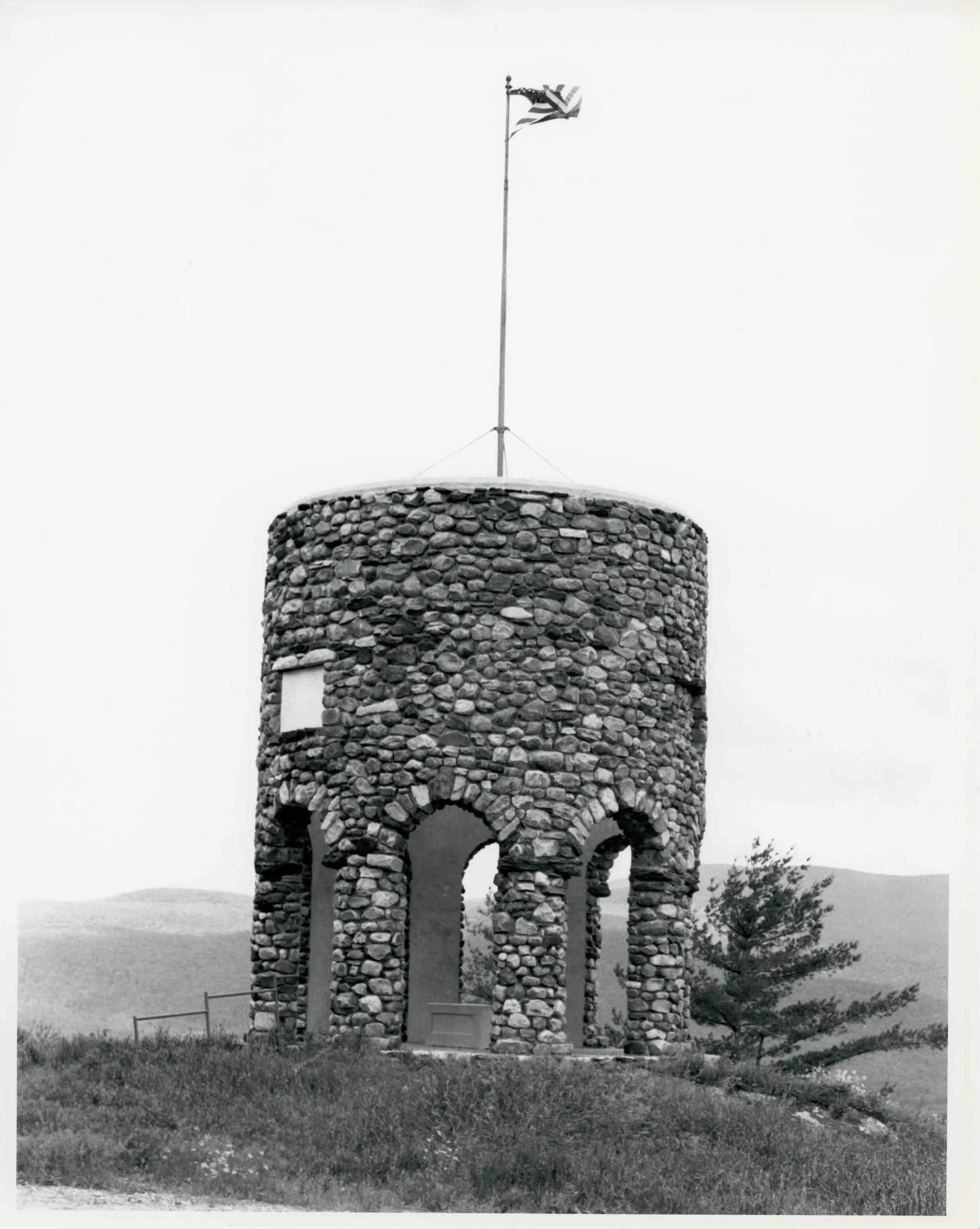
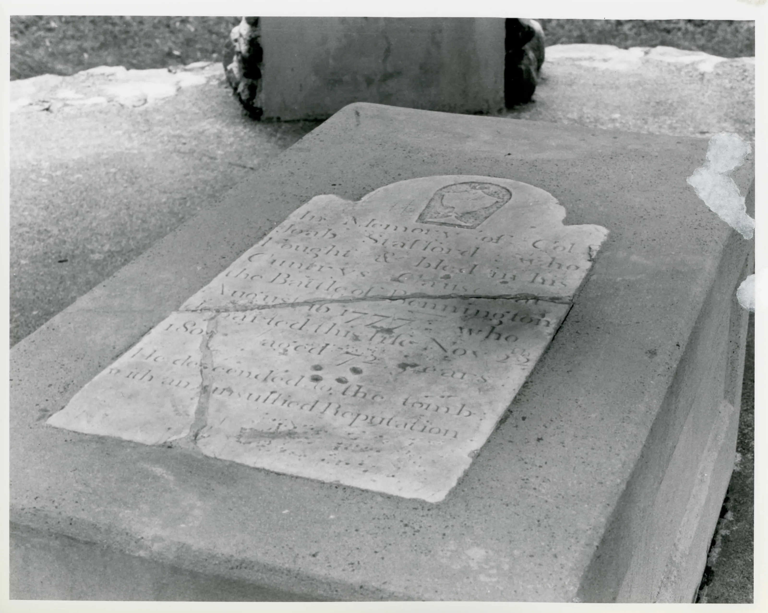
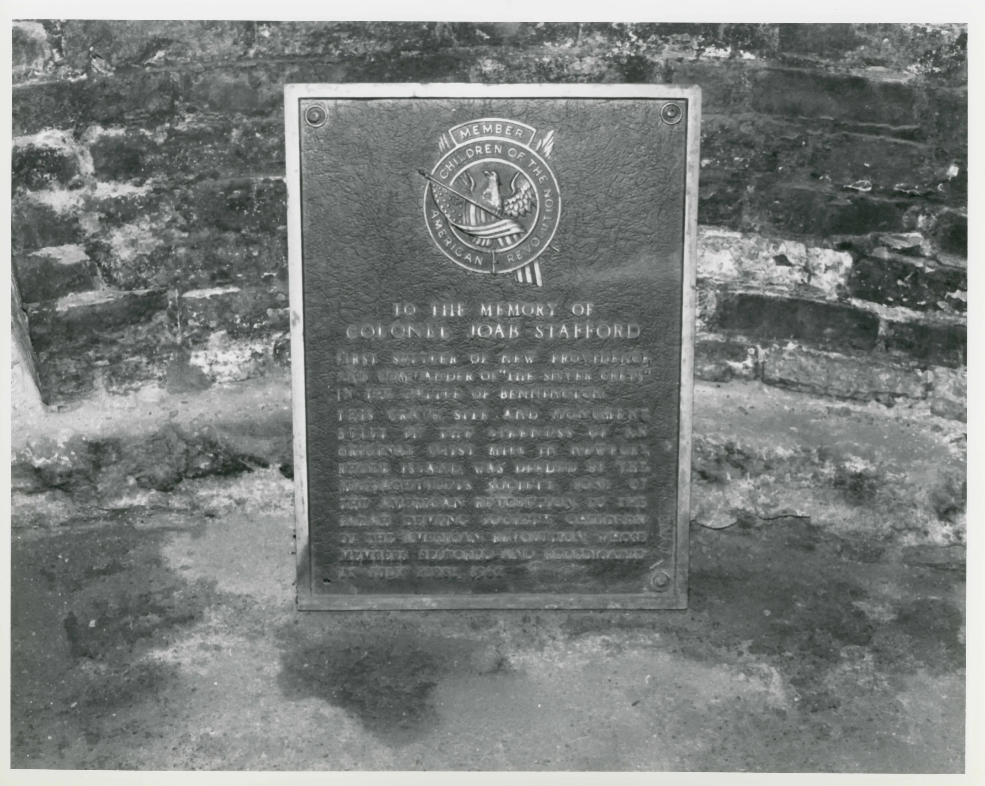
Cylindrical fieldstone tower, 25 feet in diameter and 25 feet high, built in 1927 on Stafford Hill in Cheshire. It marks and shelters the reburied grave of Colonel Joab Stafford (1730-1802), surveyor and first settler of New Providence, now Cheshire, who fought at the Battle of Bennington.
- Built
- 1927
- Style
- Commemorative tower; random rubble fieldstone
- Significance and period
- Military; Exploration/Settlement (1766-1927)
- People named
- Joab Stafford
Stafford's remains were exhumed from a small cemetery on Windsor Road and placed in the memorial's crypt in 1927. His house on the site served as tavern, store and post office for the new settlement.
“a memorial to the town's greatest Revolutionary War hero and pioneering settler”
National Register nomination
Summary paraphrased from the nomination text; the form is linked below.
The scanned form’s text could not be separated into its description and significance sections reliably, so those two sections are not quoted here. The full form is linked below.
Nearby listings in Cheshire
Sources, rights and limits
- Listing facts. National Park Service, National Register of Historic Places spatial data, queried 6 November 2026: type, year listed, landmark status, map location. U.S. government work, public domain.
- Nomination text and areas of significance. National Archives catalog record 63794154, “Massachusetts SP Stafford Hill Memorial”. National Register nomination forms are U.S. government records and public domain. The quoted text is the catalog’s text layer (machine reading of the scan, 2025-07-29), not a transcription.
- Photographs. Photographs are reproduced from the nomination file at the National Archives with the photographer’s credit as typed on the print; rights may remain with the photographer. Write to hello@parcenomics.com to have one removed.
- Location line. Address as in the Park Service layer.
- Outline. Town boundary from the Commonwealth’s town layer, generalized. Not a survey.