Cheshire · National Register
Farnams Village Historic District
Historic district · listed 2000
- Type
- Historic district
- Town
- Cheshire
- Listed
- 2000
- Location
- Farnams Rd., Lanesborough Rd., and Cheshire Rd.
- Areas of significance
- Agriculture; Architecture; Industry; Social History
- Architectural classification
- Greek Revival; Italianate; Gothic; Victorian; Colonial Revival; Craftsman; Bungalow
- Reference number
- 99000866
About this listing
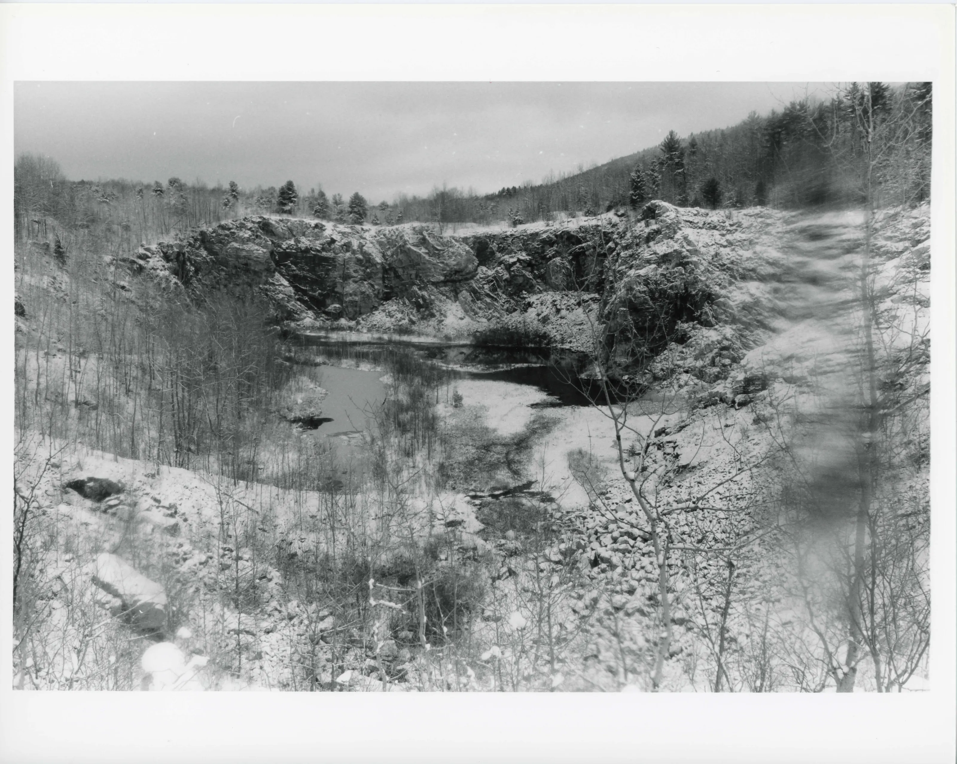
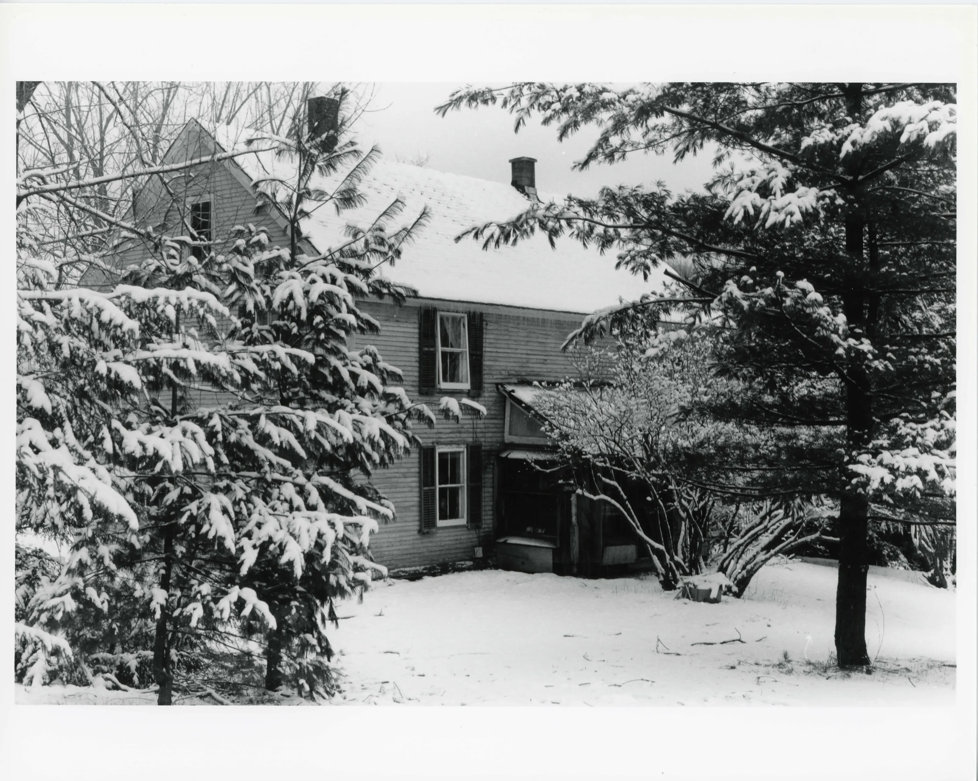
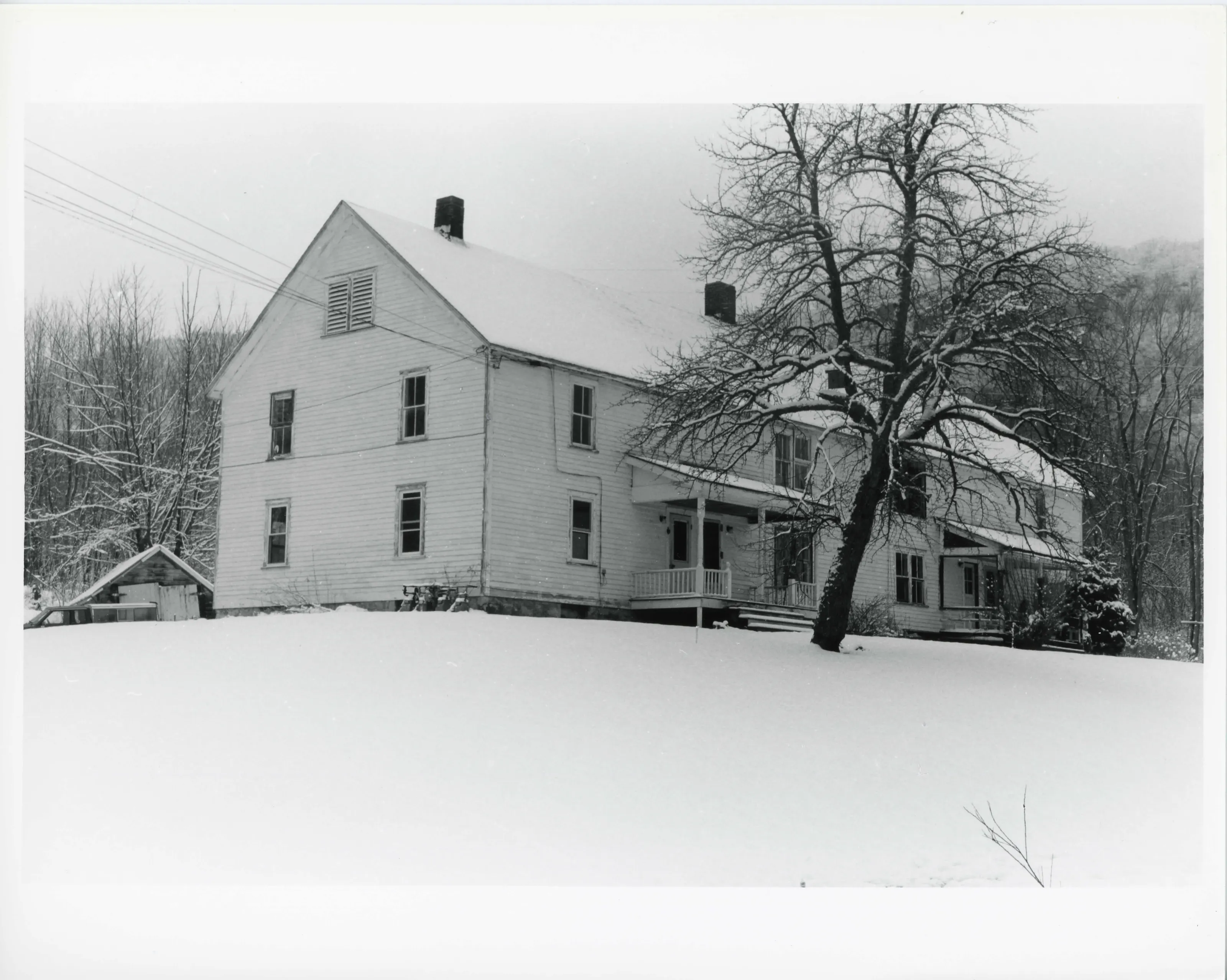
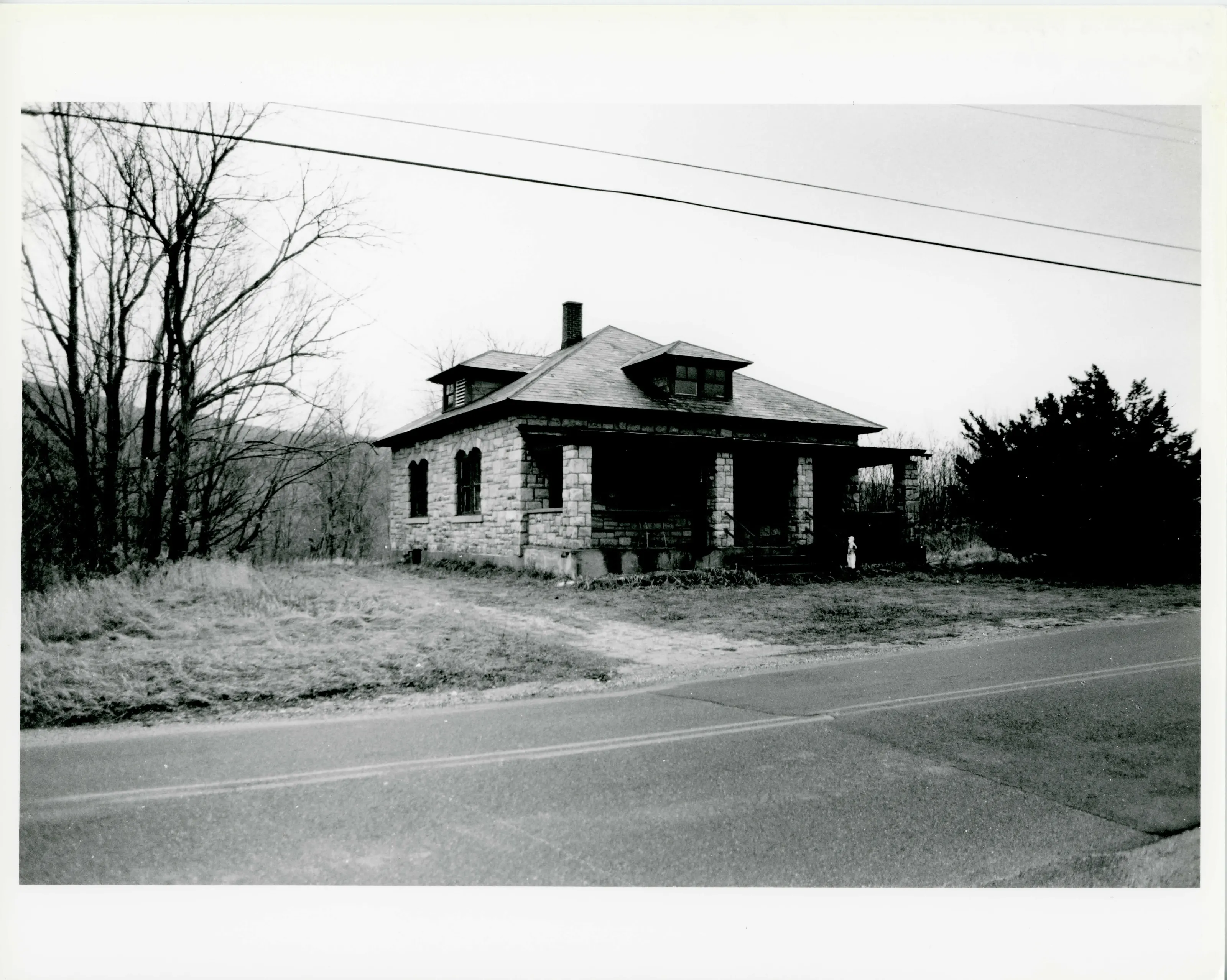
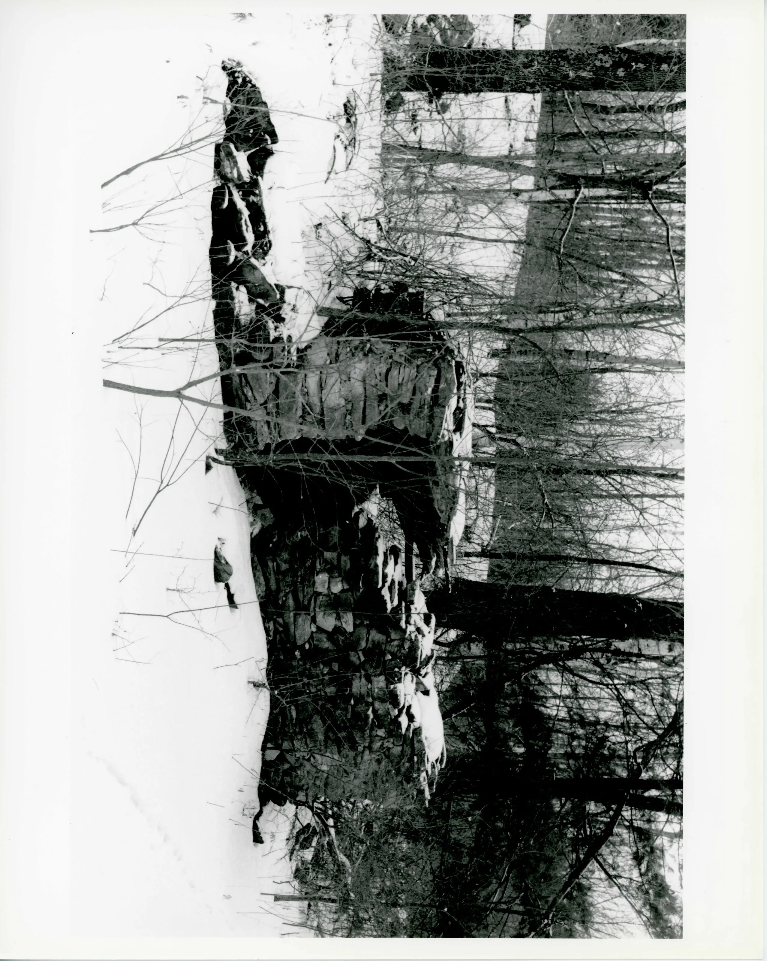
Limestone quarry and mill village in Cheshire on the flank of Mount Greylock, with workers' housing, an office, a limestone mill with kilns, quarries, a rail line and a tunnel. Quarrying began in the 1870s, and the village flourished in the early 20th century among immigrant families. The text counts 18 primary buildings.
- Built
- 1870s-1949
- Style
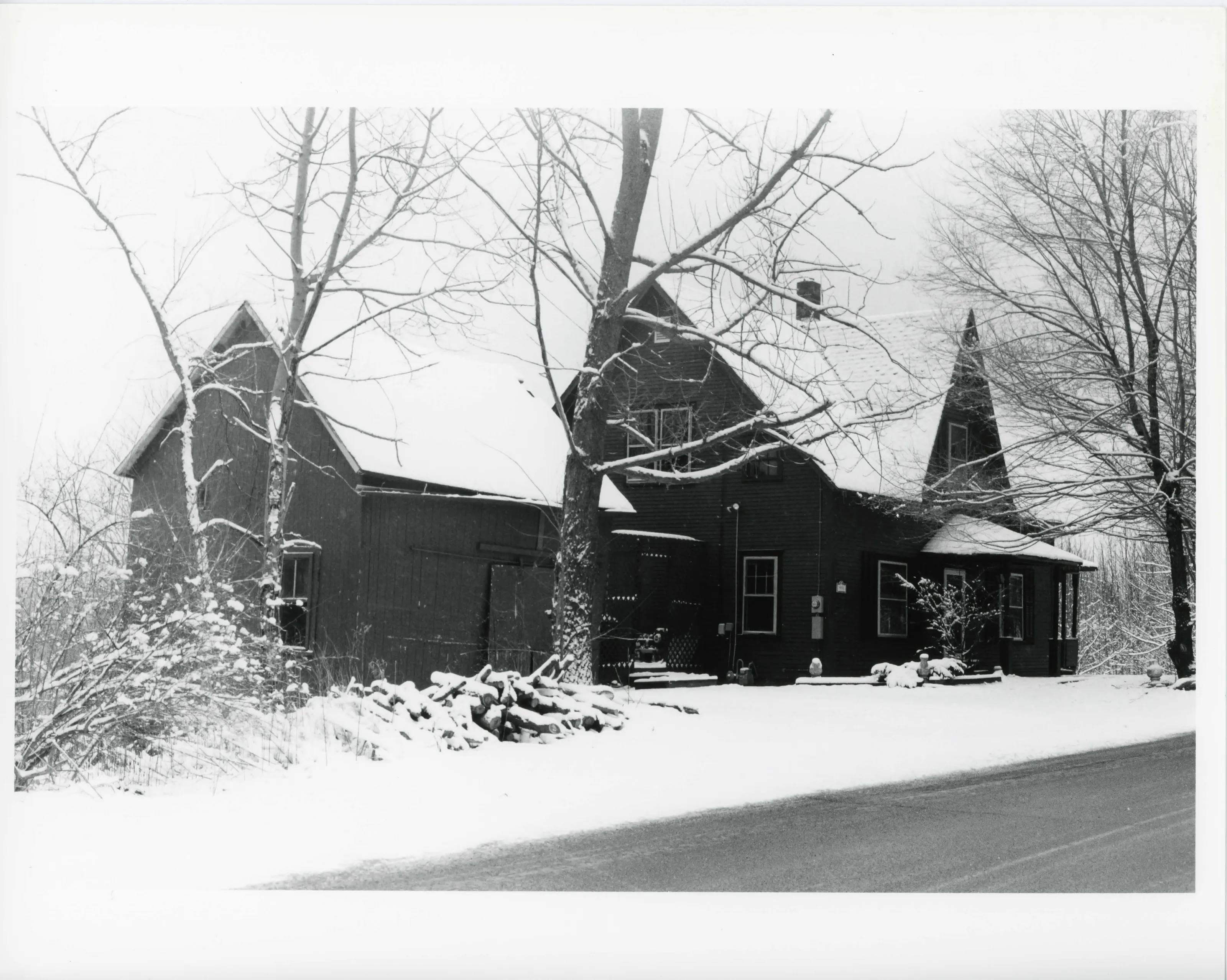
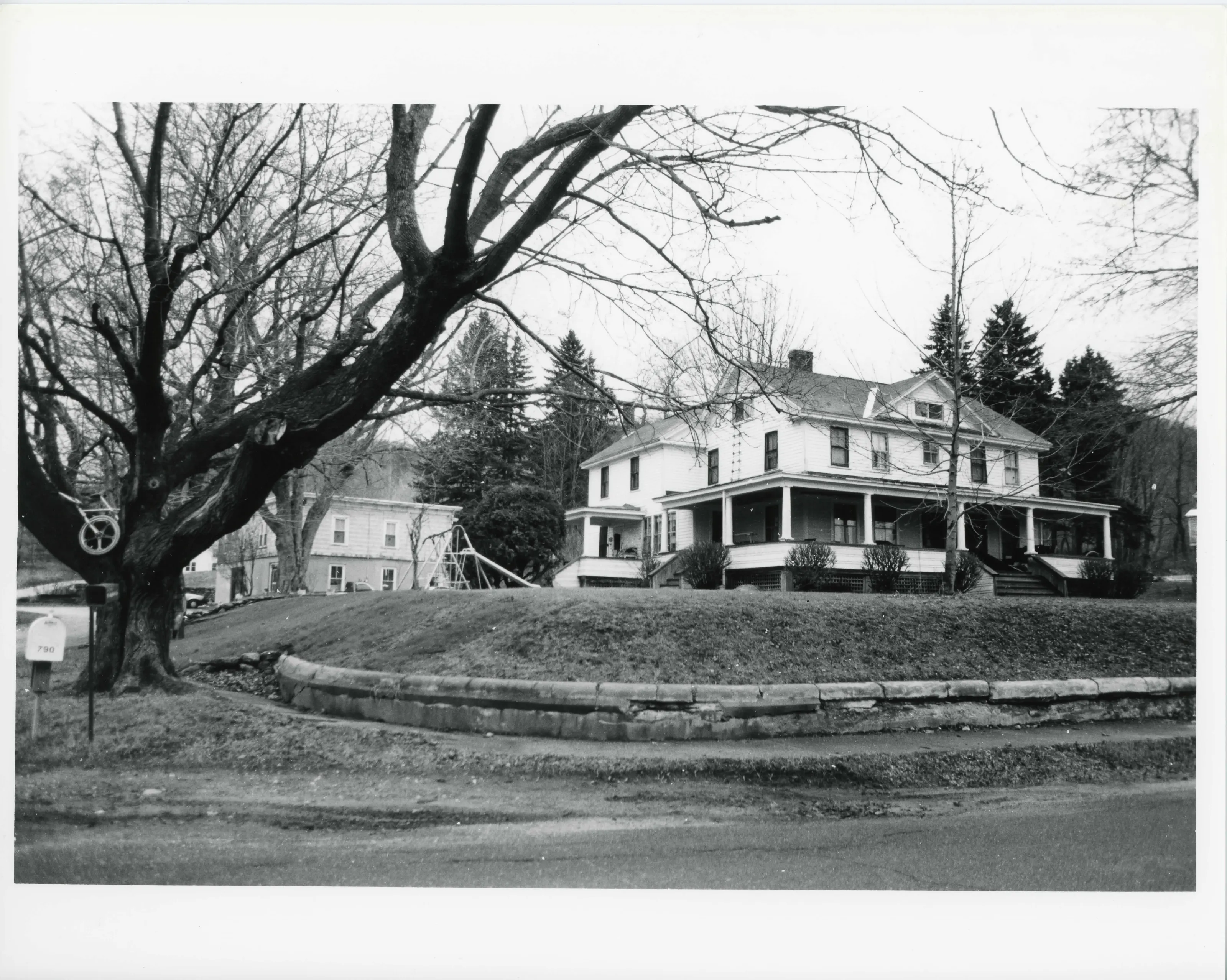
- Rural workers' housing of the 1910s, built from local building modules
- Significance and period
- Architecture; Industry; Social History; Agriculture (ca. 1850-1949)
Farnams produced lime for plaster and agriculture until its sale and decline after 1970. Its houses repeat one or more local building modules in varying combinations, typical of rural workers' housing of the 1910s.
“a self-contained workers' village which developed and flourished during the first decades of the 20th century”
National Register nomination
Summary paraphrased from the nomination text; the form is linked below.
What the nomination says it is
The Farnams Historic District is a well-preserved limestone mining village located in the southwestern part of the town of Cheshire. Lanesborough and New Ashford form the west border of the town, New Ashford and Adams are on the north, Savoy, Windsor and Dalton are on the east; Dalton and Lanesborough wrap around to forni the southern border of the town as well.
From the National Register nomination, 2000.
Why it is on the Register
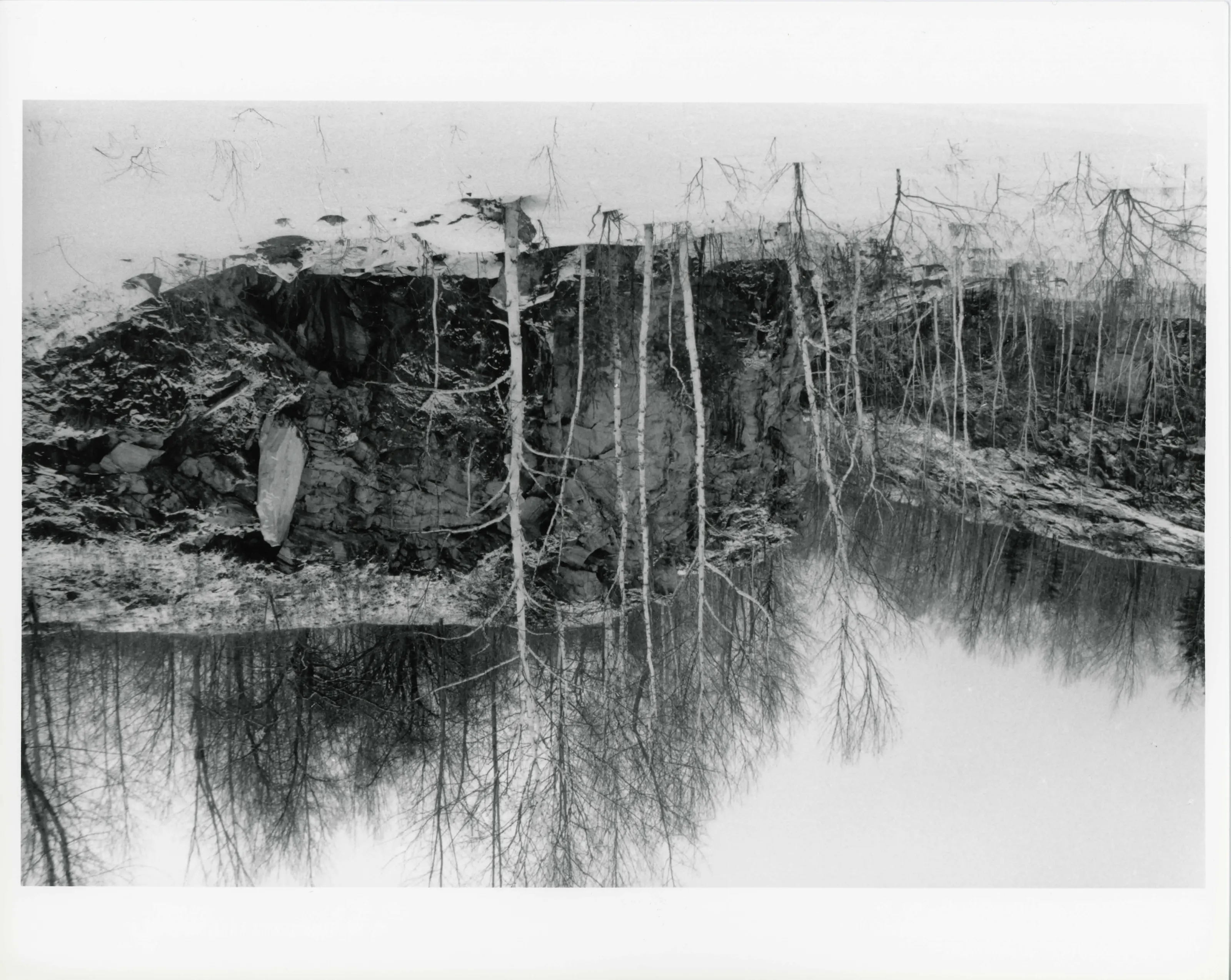
Farnams is significant as an example of a New England village that evolved with a limestone quarrying operation that began in the 1870s supplying stone for foundations and other construction projects. Farnams grew to become a major quarry, mill and supporting village, producing lime for plaster and agriculture until its sale and decline after 1970. The complex retains quarries, roads, rail line, tunnel, industrial support buildings [from dynamite shed to office], housing and limestone mill with kilns still in evidence. It is significant as an example of a selfcontained workers' village which developed and flourished during the first decades of the 20th century, populated by immigrant families who formed a strong social network incorporating both European and American traditions.
From the National Register nomination, 2000.
Quoted from the scanned form as the National Archives’ text layer reads it. Line breaks are joined; reading errors are left as they are.
Nearby listings in Cheshire
Sources, rights and limits
- Listing facts. National Park Service, National Register of Historic Places spatial data, queried 6 November 2026: type, year listed, landmark status, map location. U.S. government work, public domain.
- Nomination text and areas of significance. National Archives catalog record 63794124, “Massachusetts SP Farnams Village Historic District”. National Register nomination forms are U.S. government records and public domain. The quoted text is the catalog’s text layer (machine reading of the scan, 2025-07-29), not a transcription.
- Photographs. Photographs are reproduced from the nomination file at the National Archives with the photographer’s credit as typed on the print; rights may remain with the photographer. Write to hello@parcenomics.com to have one removed.
- Location line. Address as in the Park Service layer.
- Outline. Town boundary from the Commonwealth’s town layer, generalized. Not a survey.