Commonwealth Report Findings Land and water For policymakers History Elected Officials Updates Weekly Method Search

Becket · National Register

North Becket Village Historic District

Historic district · listed 1988

Type
Historic district
Town
Becket
Listed
1988
Location
Main, High, and Pleasant Sts.
Areas of significance
Architecture; Industry
Architectural classification
Greek Revival; New England; Georgian; Colonial Revival
Reference number
88000229

About this listing

Linear Greek Revival village in the northeast of Becket, along Main and High Streets, on about 40 acres. It holds 47 buildings, 35 contributing, mostly houses plus two meetinghouses and the Seminary Hall of 1855. Most date from the twenty years after the railroad arrived in 1841; a dam failure in 1927 destroyed the mills.

Built
1830-ca. 1860 (most after 1841)
Style
Greek Revival
Significance and period
Architecture; Commerce; Community Development; Industry; Transportation
People named
William Claflin; J. W. Wheeler

Tanneries opened in 1841; William Claflin and J. W. Wheeler expanded them in 1848. A 1927 flood cut a gully 300 feet wide and destroyed a silk mill, a grist mill and a basket works.

“represents a significant clustering of the Greek Revival style in a variety of forms”

National Register nomination

Summary paraphrased from the nomination text; the form is linked below.

The scanned form’s text could not be separated into its description and significance sections reliably, so those two sections are not quoted here. The full form is linked below.
North Becket Village Historic District
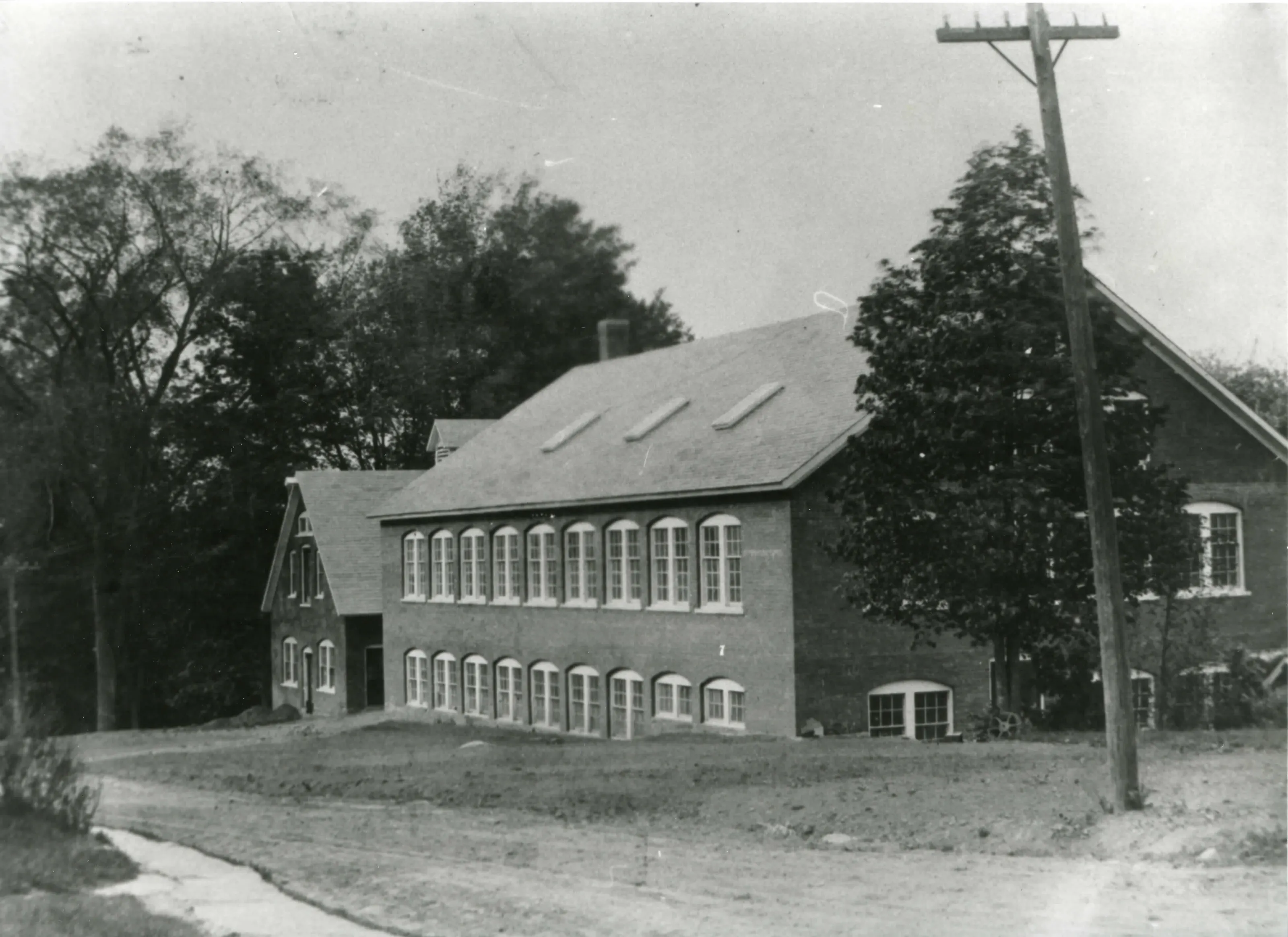
North Becket Village Historic DistrictPhoto: Relative of Oliver McElwain, August 8, 1912. From the National Register nomination, National Archives.
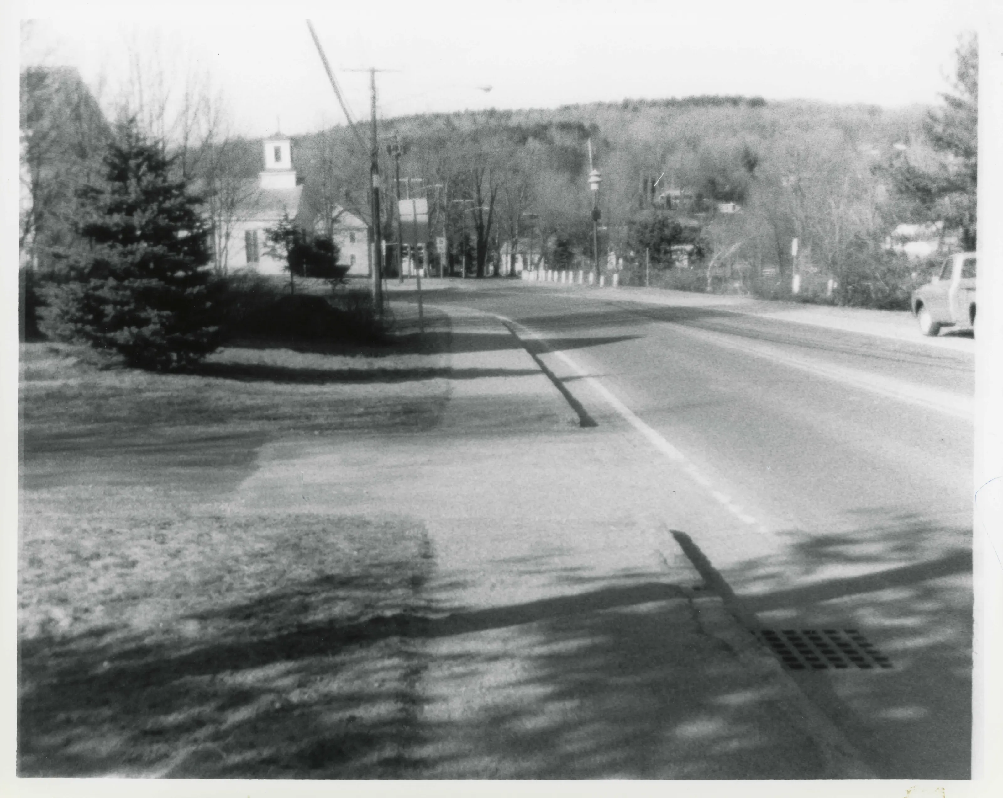
View looking north down the west side of Main Street which was untouched by flood, with a few exceptions.
View looking north down the west side of Main Street which was untouched by flood, with a few exceptions.Photo: Esther T. Moulthrop, 03/21/85. From the National Register nomination, National Archives.
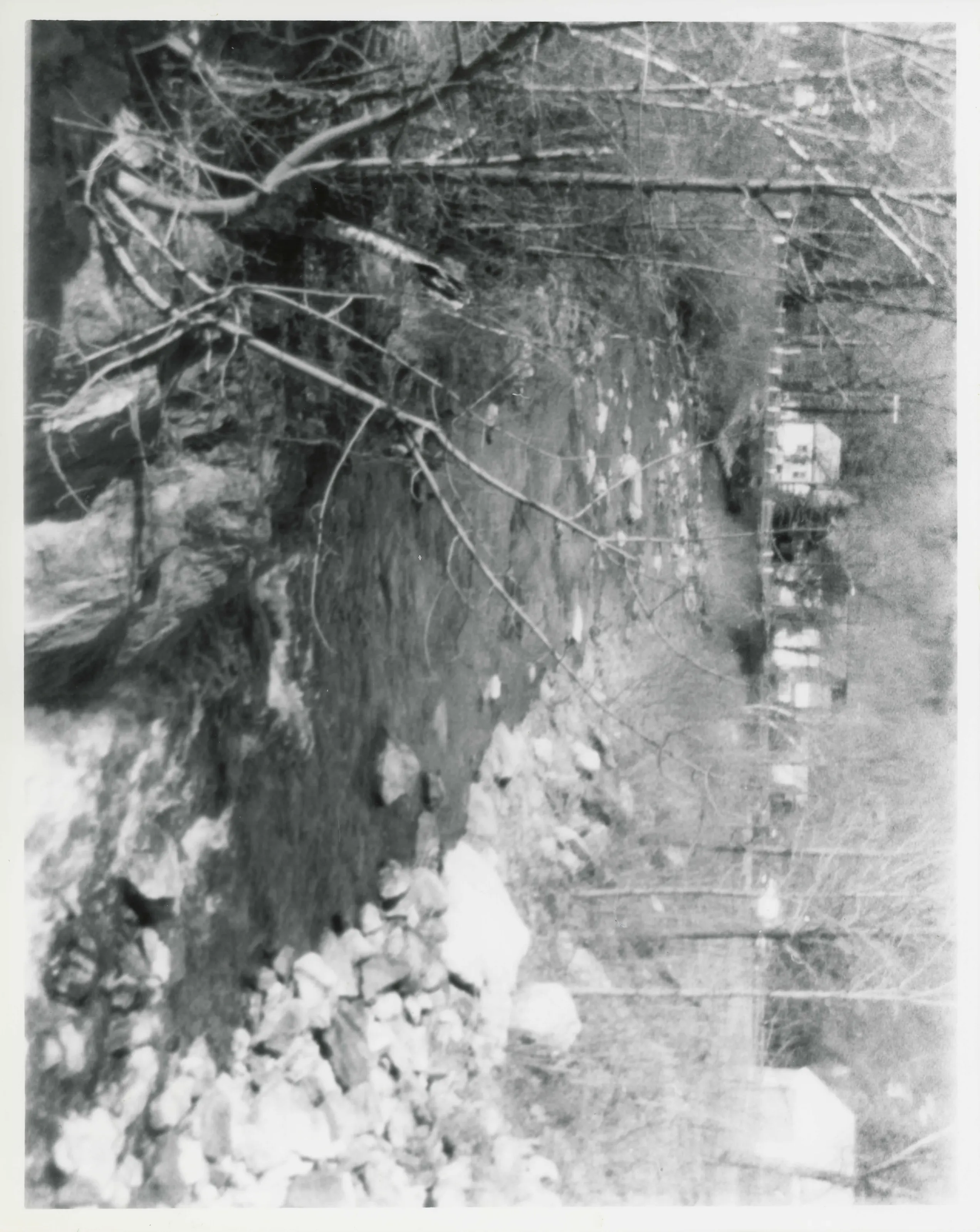
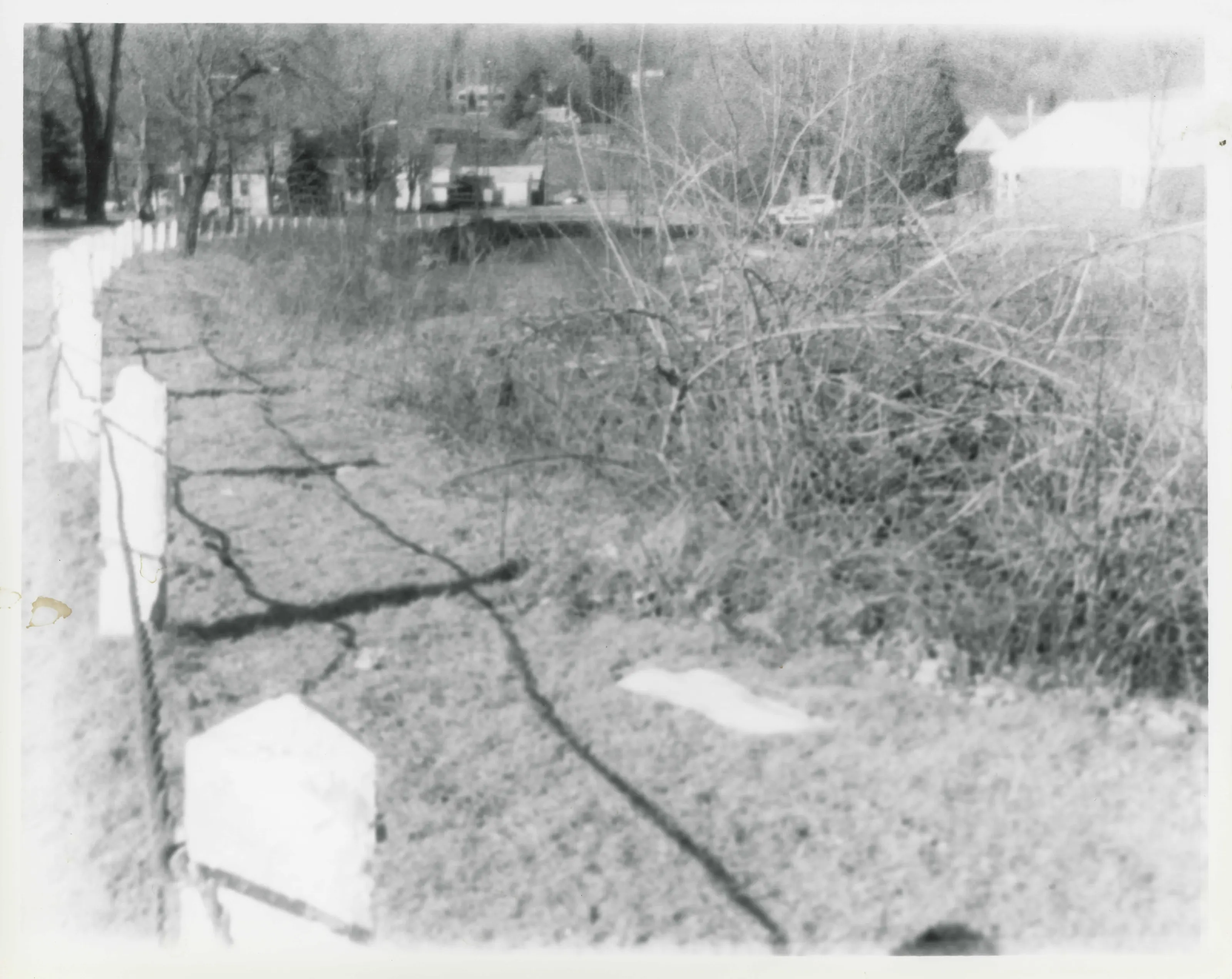
View showing gully (100 ft. by 25 ft.) where once were grist mill, basket shop, lock-up, and homes.
View showing gully (100 ft. by 25 ft.) where once were grist mill, basket shop, lock-up, and homes.Photo: Esther T. Moulthrop, 03/21/85. From the National Register nomination, National Archives.
Looking north from Main Street, showing expanse of gully made by 1927 flood, where once were industries and homes.
Looking north from Main Street, showing expanse of gully made by 1927 flood, where once were industries and homes.Photo: Esther T. Moulthrop, 03/21/85. From the National Register nomination, National Archives.
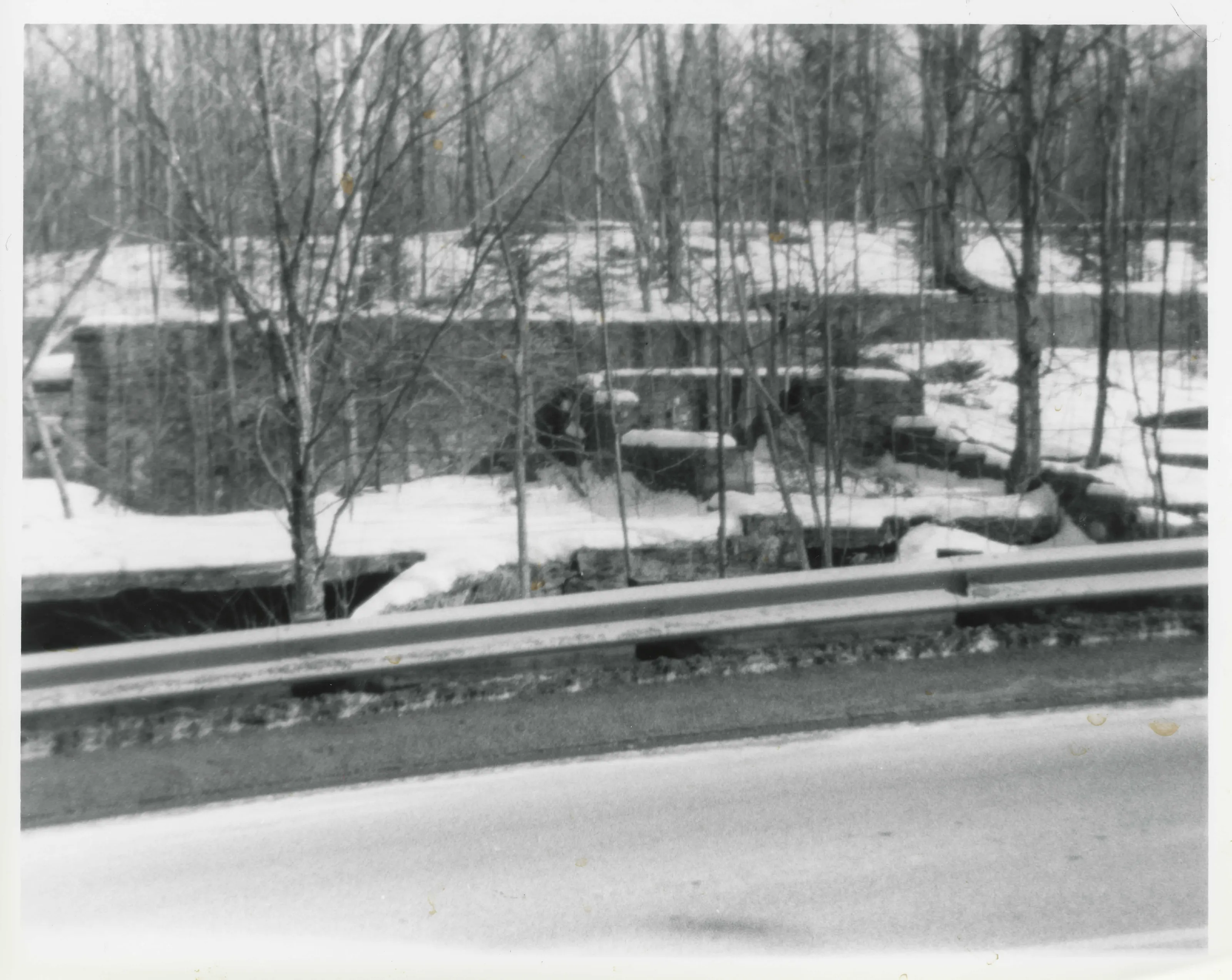
The post-flood ruins of the Berkshire and Becket Silk Mill as seen from the highway.
The post-flood ruins of the Berkshire and Becket Silk Mill as seen from the highway.Photo: Esther T. Moulthrop, 03/06/85. From the National Register nomination, National Archives.
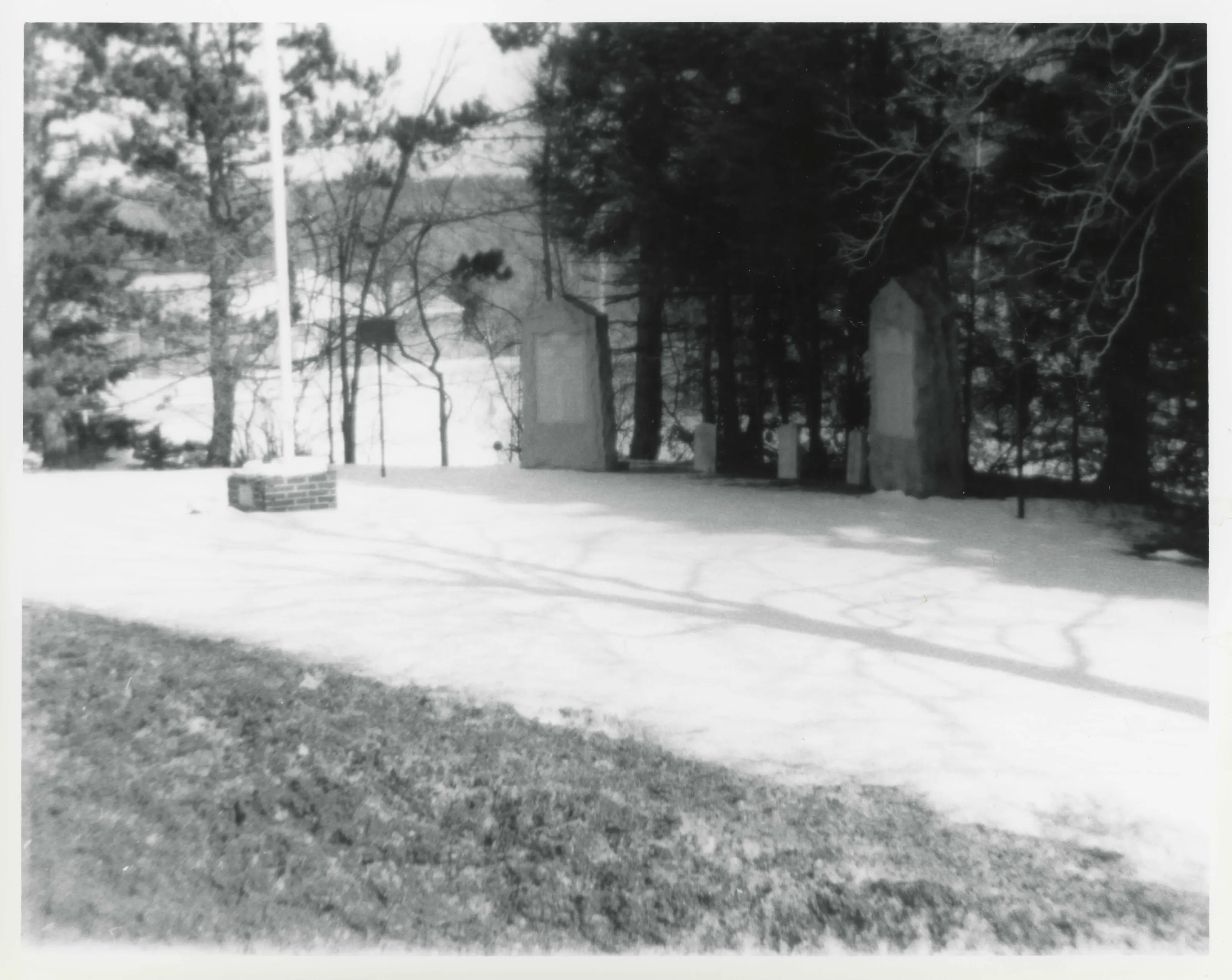
Ballou Park, one of the two narrow parks on land left by flood on east side of Main Street, showing W.W.I and W.W.II monuments and Vietnam War flag pole, and the two historical markers.
Ballou Park, one of the two narrow parks on land left by flood on east side of Main Street, showing W.W.I and W.W.II monuments and Vietnam War flag pole, and the two historical markers.Photo: Esther T. Moulthrop, 03/06/85. From the National Register nomination, National Archives.
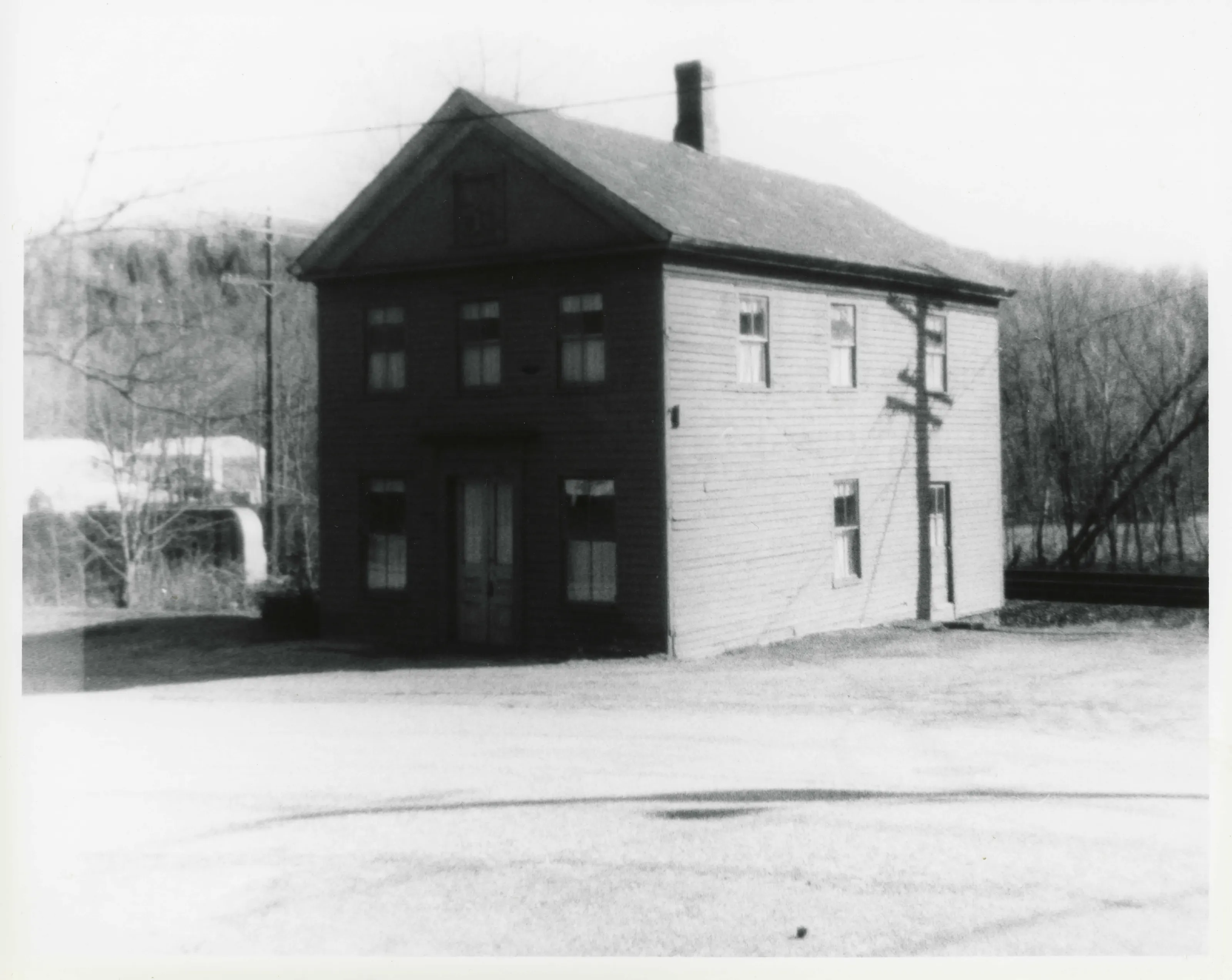
The only Apothecary Shop ever in Becket served several miles' radius from 1870 to 1927. Patrick Tobin marked the end of basket making in Becket in this shop from 1928 to 1964.
The only Apothecary Shop ever in Becket served several miles' radius from 1870 to 1927. Patrick Tobin marked the end of basket making in Becket in this shop from 1928 to 1964.Photo: Esther T. Moulthrop, 03/21/85. From the National Register nomination, National Archives.
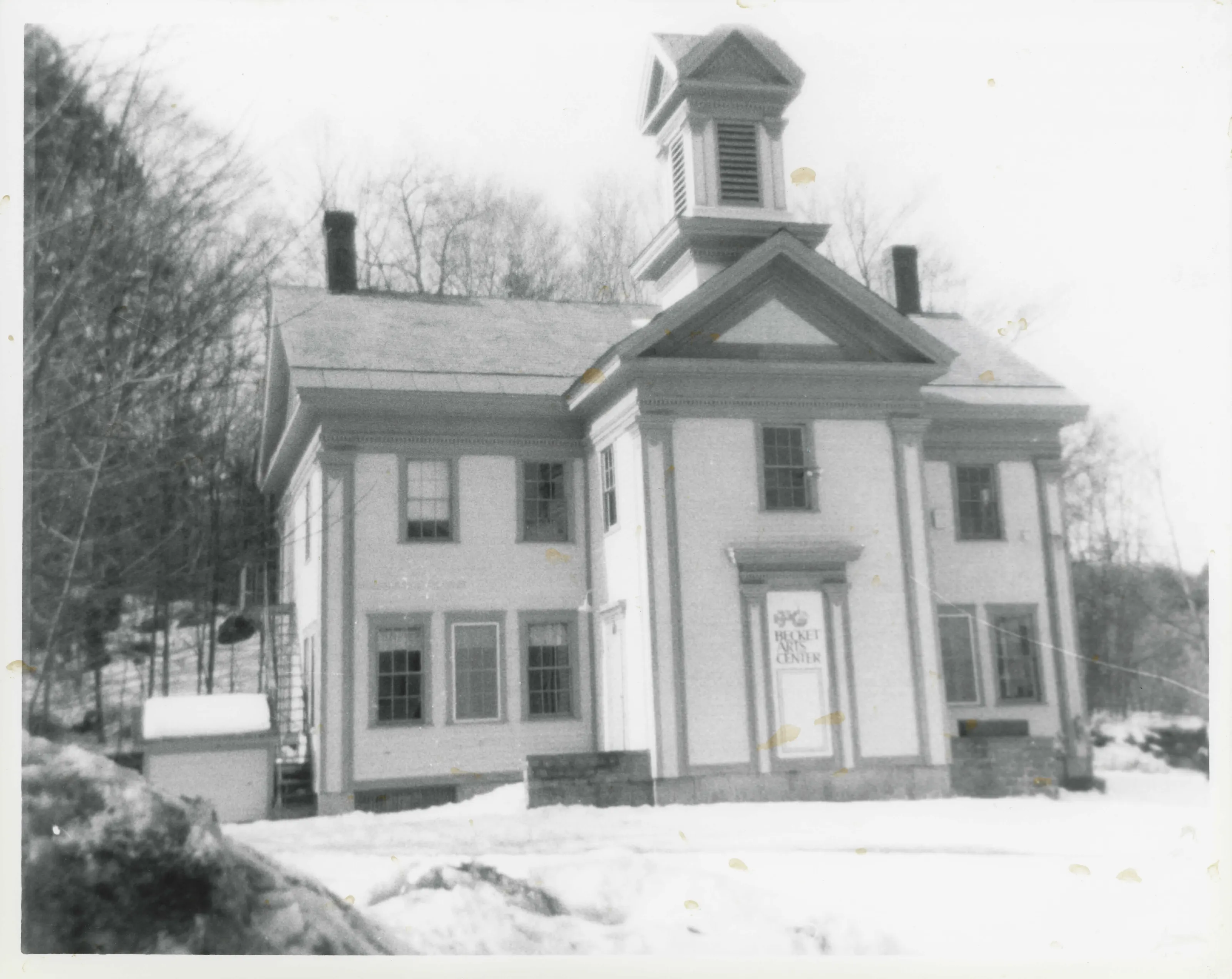
Built in 1855 for a school and social hall, this late Greek Revival strains toward the next popular style called French Second Empire.
Built in 1855 for a school and social hall, this late Greek Revival strains toward the next popular style called French Second Empire.Photo: Esther T. Moulthrop, 03/06/85. From the National Register nomination, National Archives.
The pin marks the center of the listed area as the Park Service maps it, on the outline of Becket.
Sources, rights and limits
  • Listing facts. National Park Service, National Register of Historic Places spatial data, queried 6 November 2026: type, year listed, landmark status, map location. U.S. government work, public domain.
  • Nomination text and areas of significance. National Archives catalog record 63794292, “Massachusetts SP North Becket Village Historic District”. National Register nomination forms are U.S. government records and public domain. The quoted text is the catalog’s text layer (machine reading of the scan, 2025-07-29), not a transcription.
  • Photographs. Photographs are reproduced from the nomination file at the National Archives with the photographer’s credit as typed on the print; rights may remain with the photographer. Write to hello@parcenomics.com to have one removed.
  • Location line. Address as in the Park Service layer.
  • Outline. Town boundary from the Commonwealth’s town layer, generalized. Not a survey.