Becket · National Register
Becket Center Historic District
Historic district · listed 1982
- Type
- Historic district
- Town
- Becket
- Listed
- 1982
- Location
- MA 8, Hamilton and YMCA Rds.
- Areas of significance
- Archeology: Historic; Agriculture; Architecture; Art; Exploration/Settlement; Military; Politics/Government; Religion; Social/Humanitarian
- Architectural classification
- Federal; Greek Revival; Georgian
- Reference number
- 82004952
About this listing
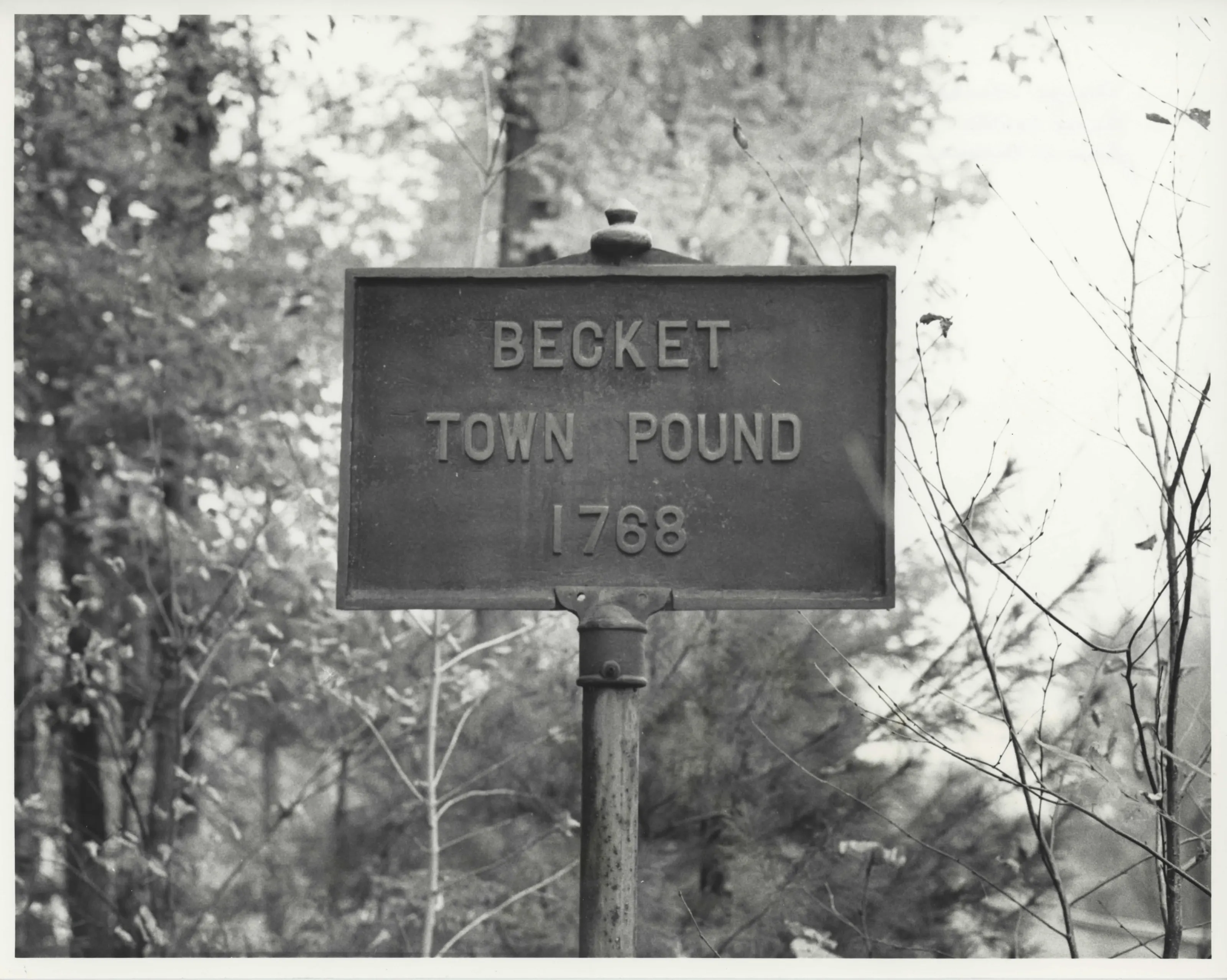
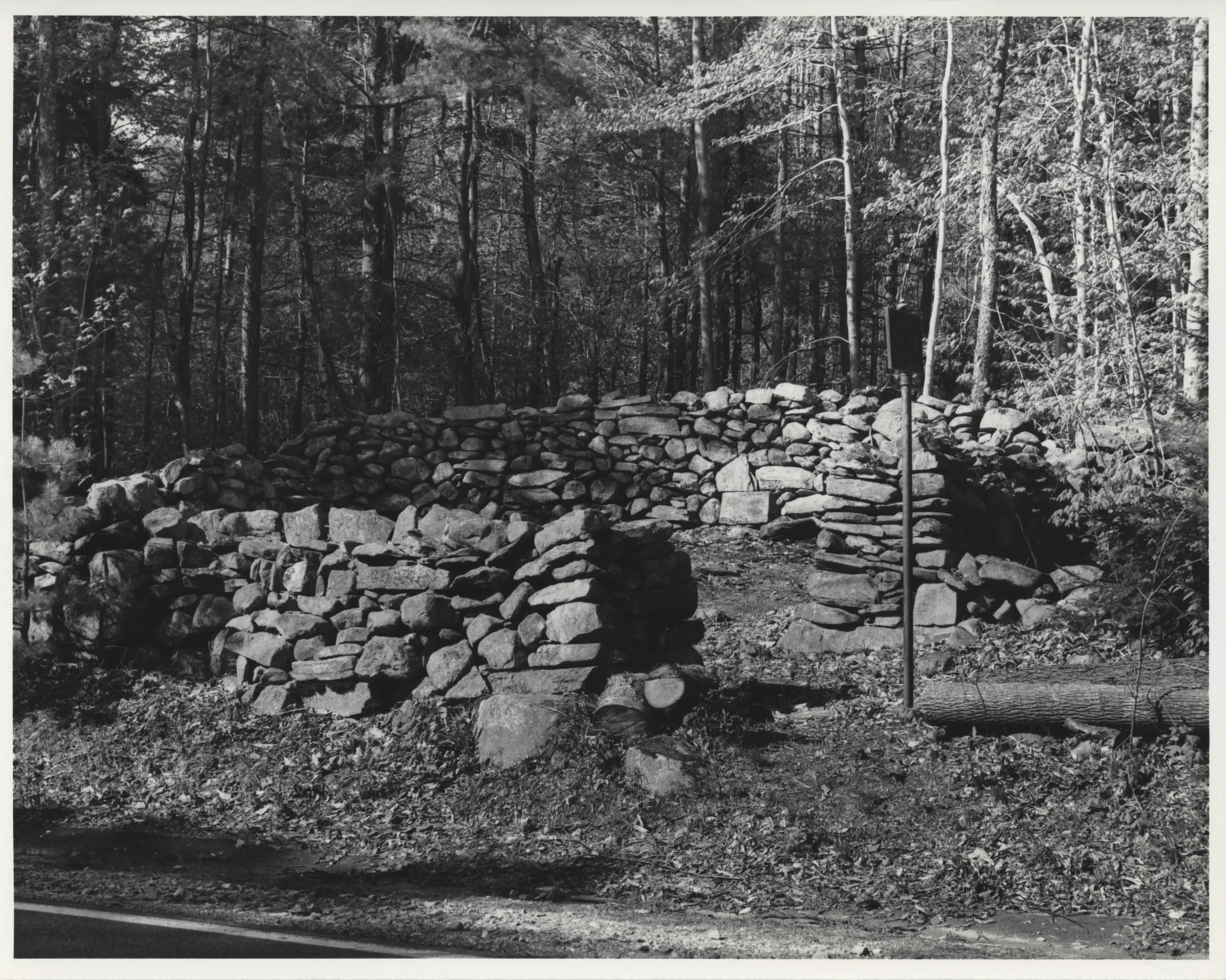
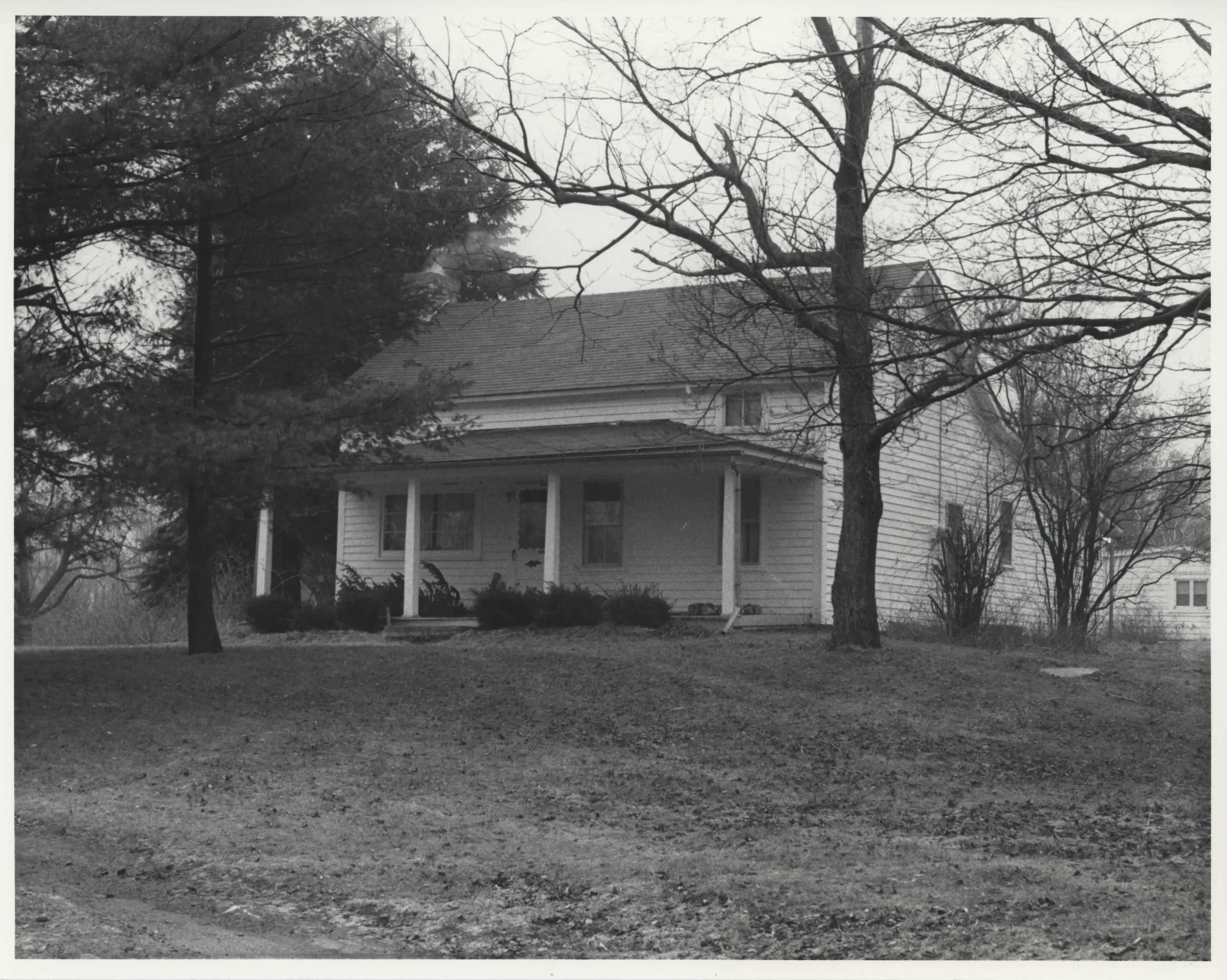
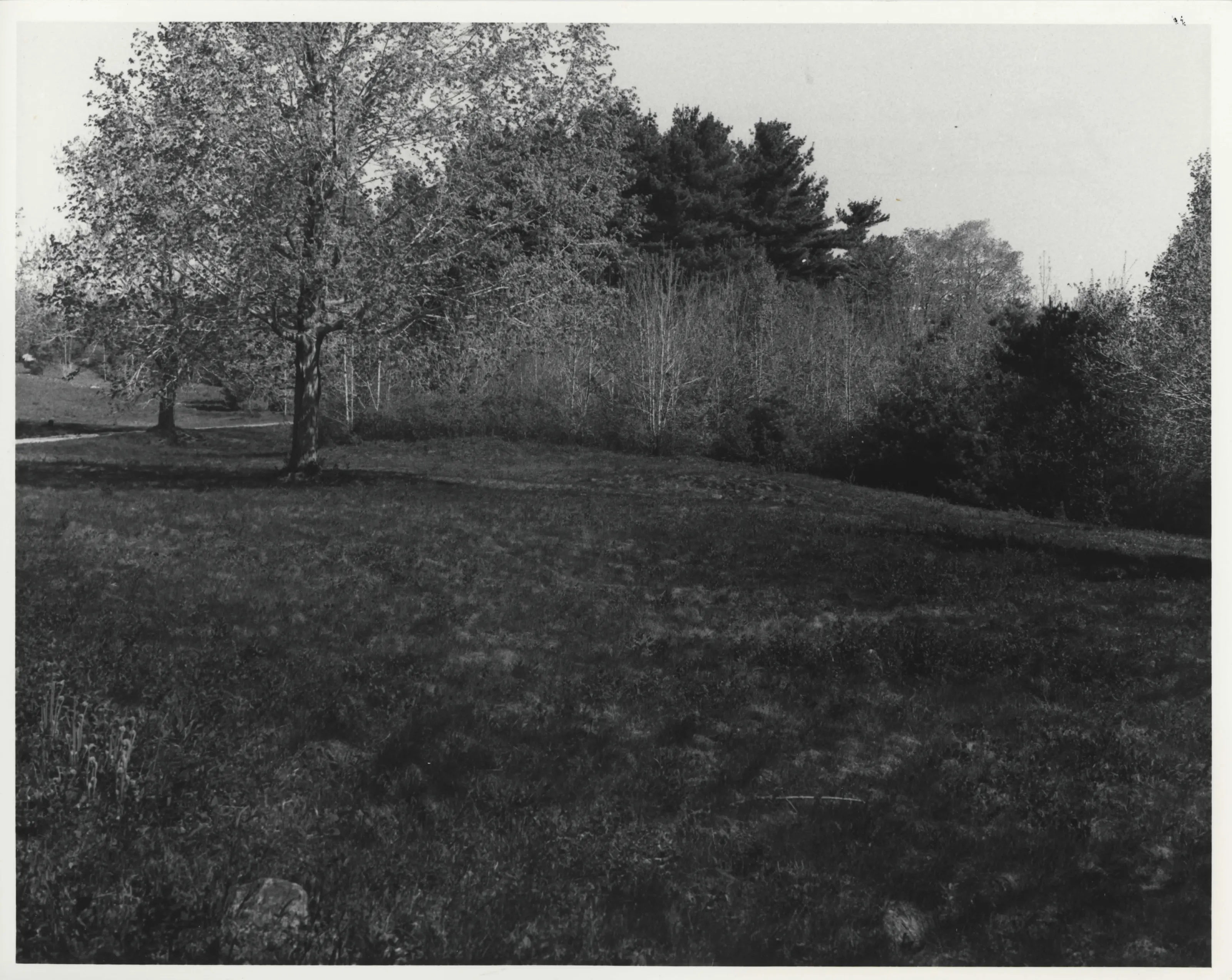
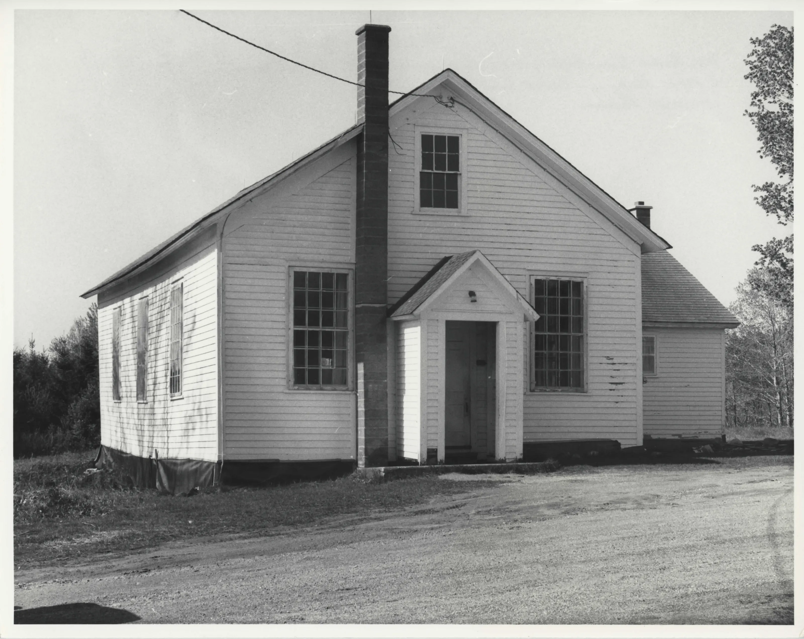
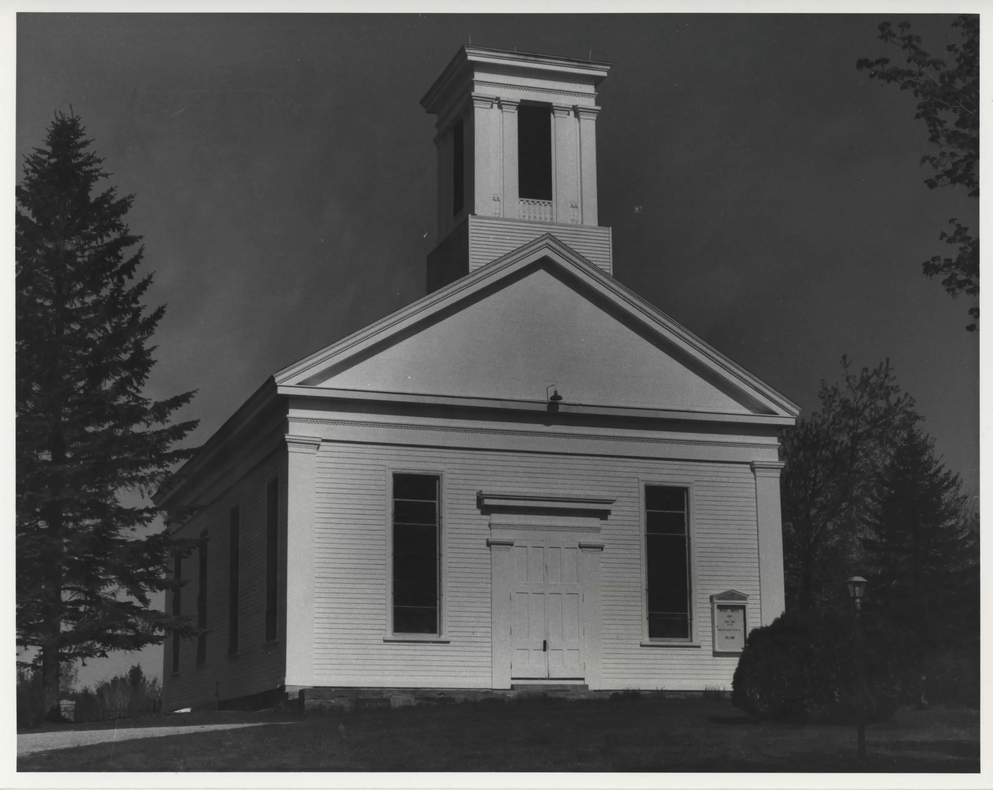
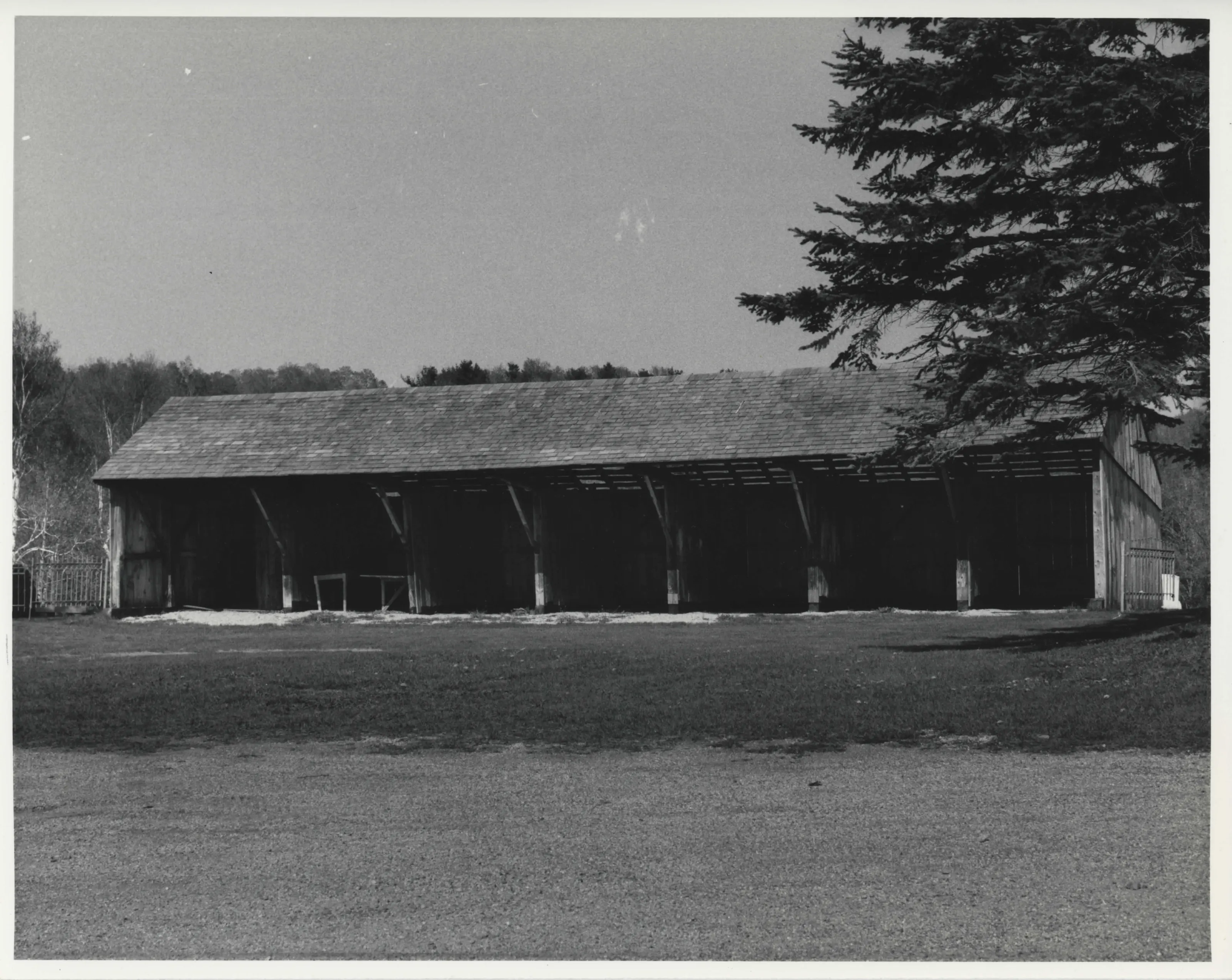
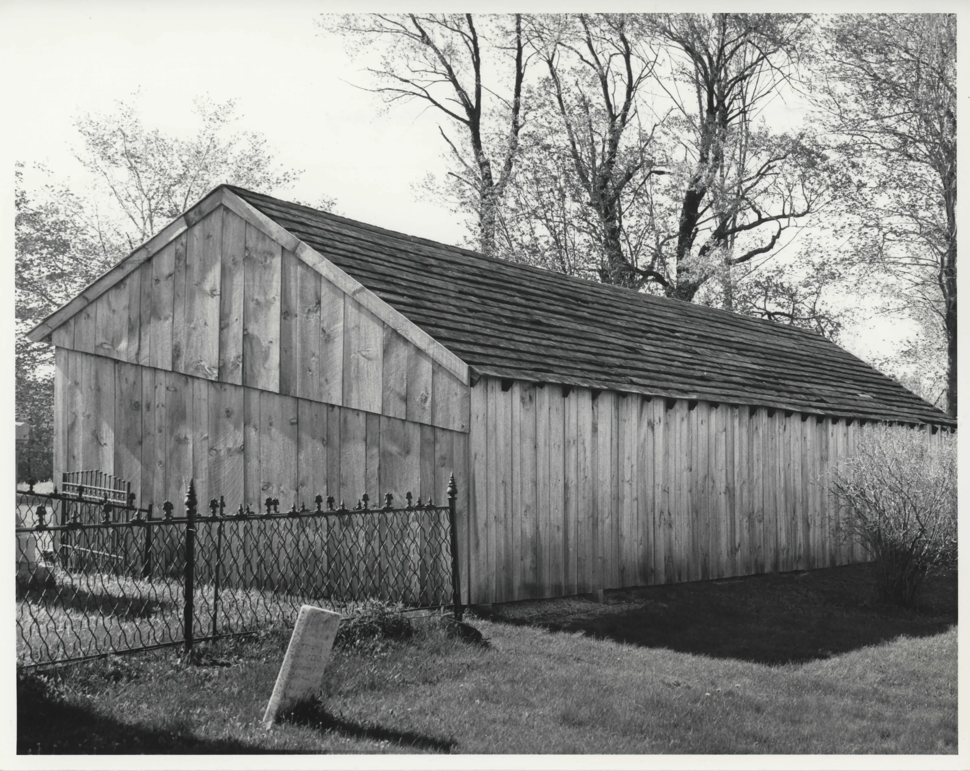
Town center of Becket, about 40 acres crossed by Walker Brook along Route 8 and Hamilton Road. Nine buildings, one structure, three historic archaeological sites, a common and a cemetery. Federal and Greek Revival farmhouses and public buildings predominate. Settlement stalled after the 1841 railroad bypassed it.
- Built
- mid-18th century-1900
- Style
- Federal and Greek Revival vernacular
- Significance and period
- Architecture; Community planning and development; Historic archaeology
The Western Railway crossed the hills in 1841 and bypassed the center, shifting commerce north to Becket Village. The center stayed the civic and religious core of the town. Construction after 1850 was limited to a few public buildings.
“continued, however, to function as the spiritual and political center of this agricultural community”
National Register nomination
Summary paraphrased from the nomination text; the form is linked below.
What the nomination says it is
Towards the mid-nineteenth century the Old Becket Center Parsonage.
From the National Register nomination, 1982.
Quoted from the scanned form as the National Archives’ text layer reads it. Line breaks are joined; reading errors are left as they are.
Sources, rights and limits
- Listing facts. National Park Service, National Register of Historic Places spatial data, queried 6 November 2026: type, year listed, landmark status, map location. U.S. government work, public domain.
- Nomination text and areas of significance. National Archives catalog record 63794128, “Massachusetts SP Becket Center Historic District”. National Register nomination forms are U.S. government records and public domain. The quoted text is the catalog’s text layer (machine reading of the scan, 2025-07-29), not a transcription.
- Photographs. Photographs are reproduced from the nomination file at the National Archives with the photographer’s credit as typed on the print; rights may remain with the photographer. Write to hello@parcenomics.com to have one removed.
- Location line. Address as in the Park Service layer.
- Outline. Town boundary from the Commonwealth’s town layer, generalized. Not a survey.