Adams · National Register
Mount Greylock Summit Historic District
Historic district · listed 1998
- Type
- Historic district
- Town
- Adams
- Listed
- 1998
- Location
- Jct. of Notch, Rockwell, and Summit Rds.
- Areas of significance
- Architecture; Conservation; Entertainment/Recreation; Landscape Architecture; Literature
- Architectural classification
- Rustic; Bungalow; Craftsman; Classical Revival; Starved Classicism
- Reference number
- 98000349
About this listing
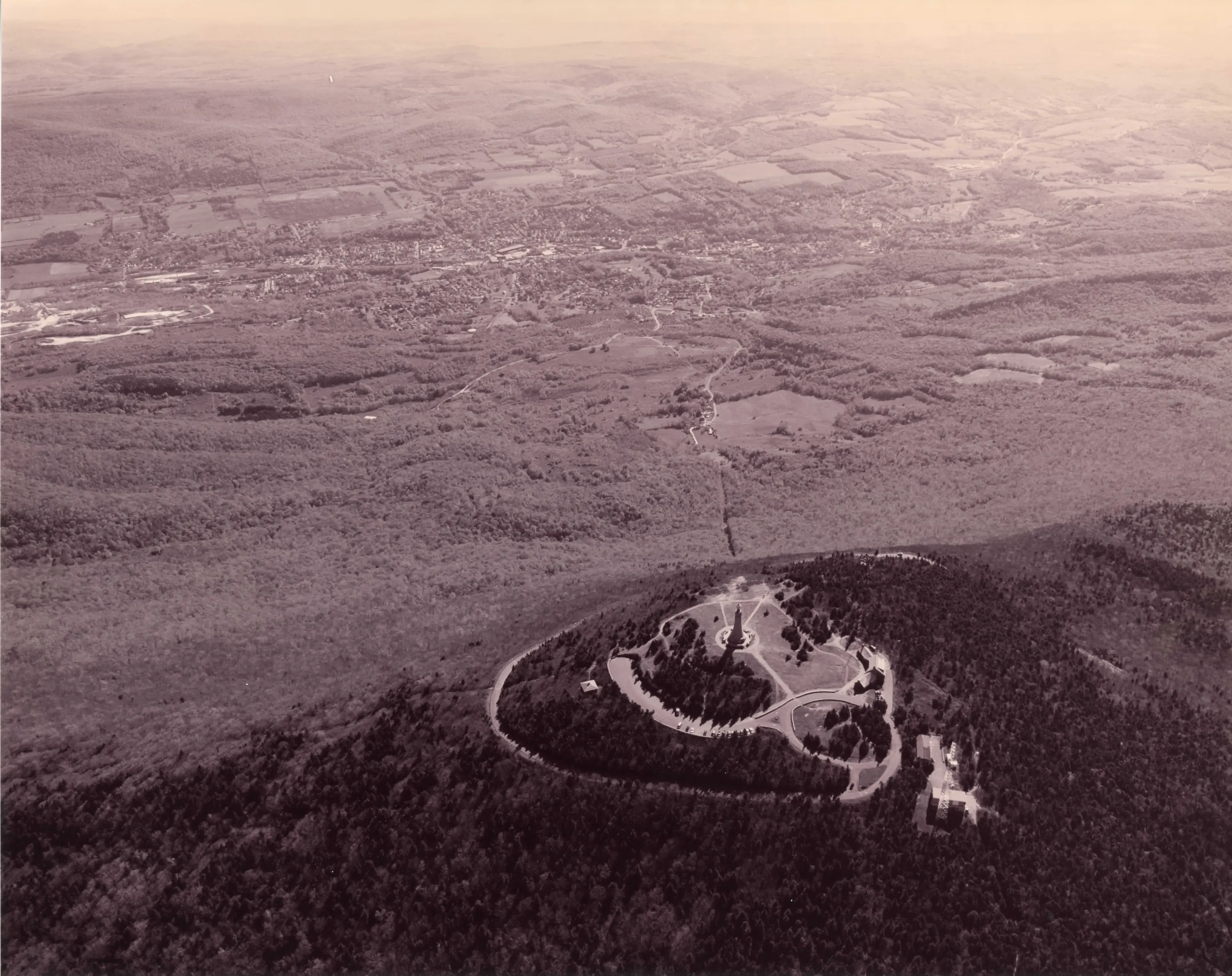
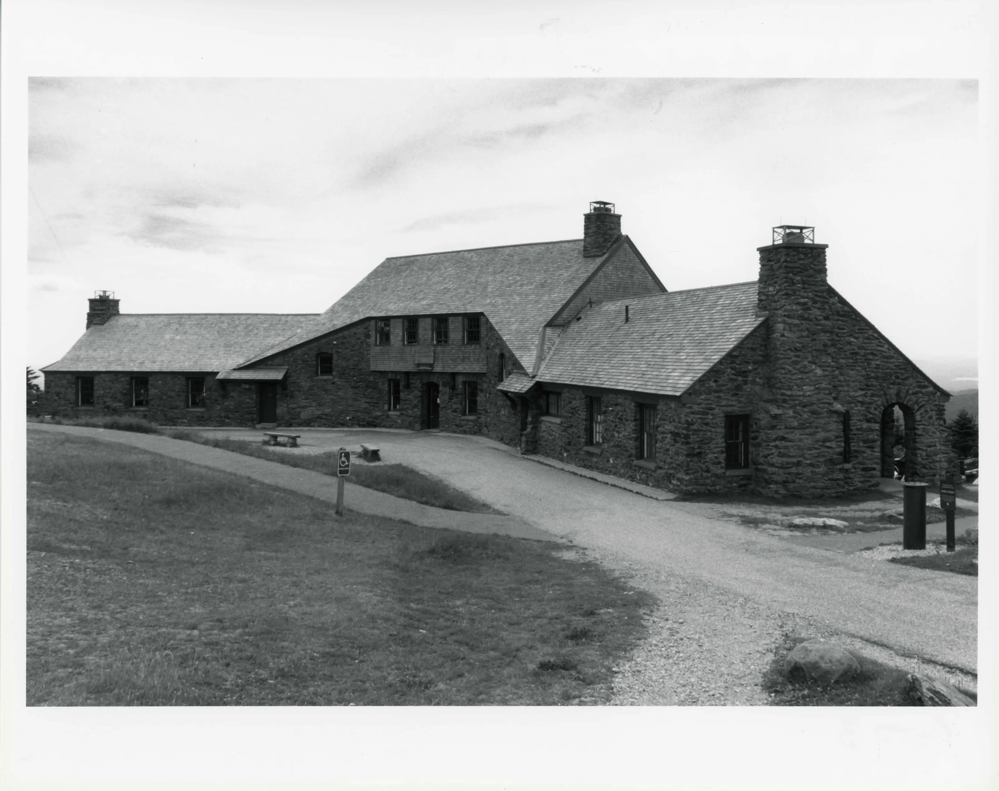
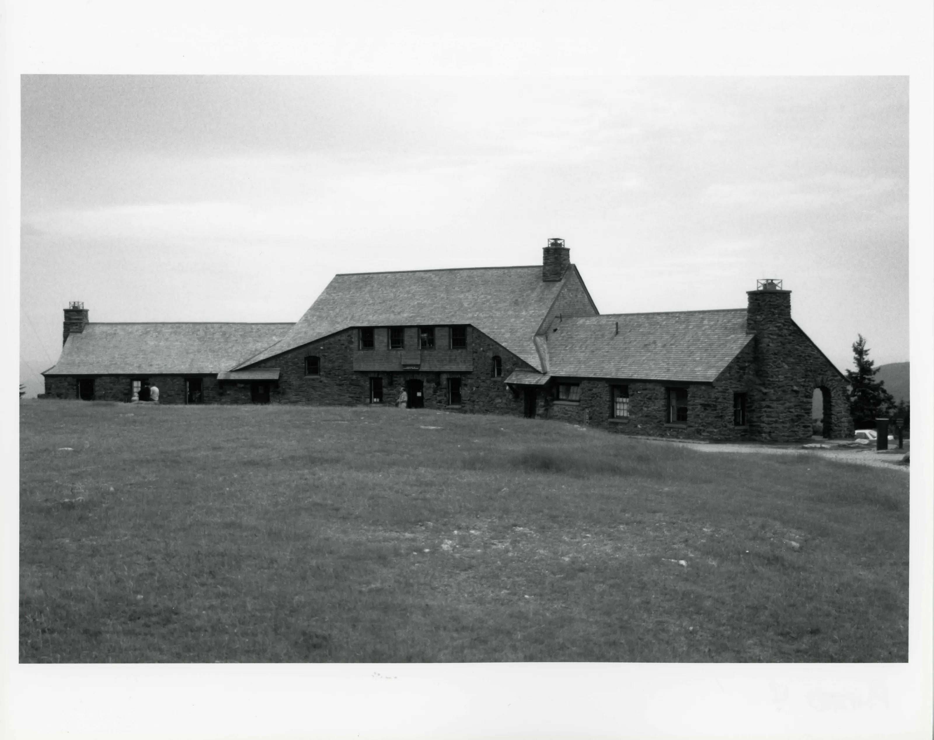
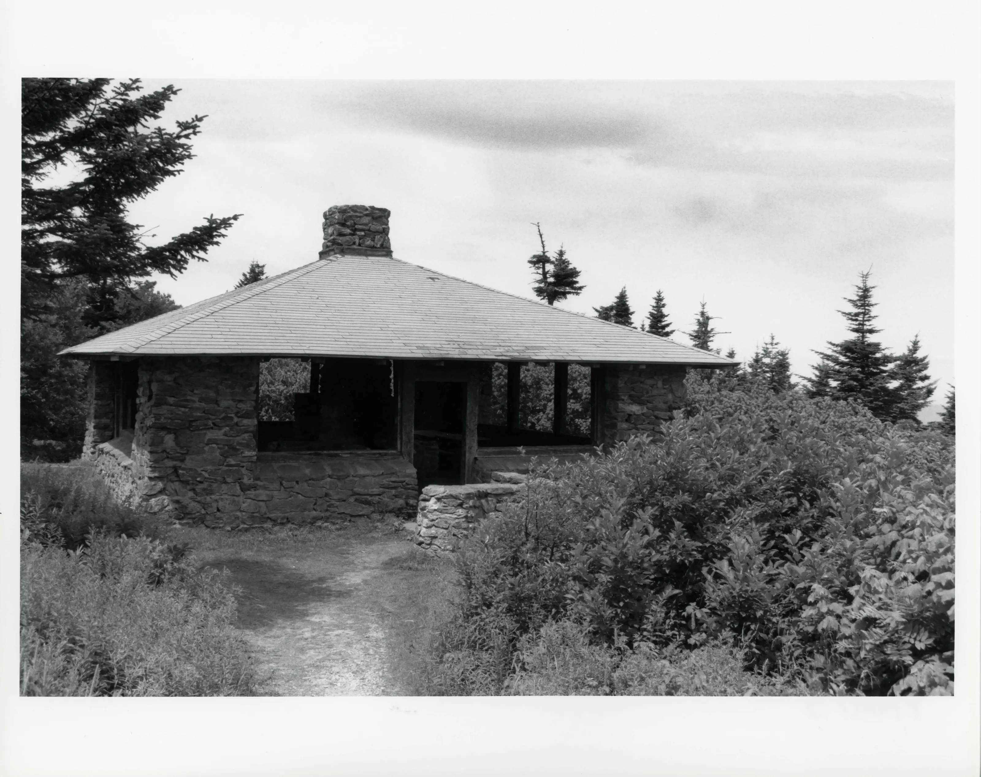
Summit area of Mount Greylock, which the nomination calls the highest mountain in Massachusetts at 3,491 feet, with structures and trails from 1830 to 1940. Early history begins with Jeremiah Wilbur, who farmed the Notch and, per the nomination, built the first trail up the mountain.
- Significance and period
- Architecture; Conservation (1830-1940)
- People named
- Jeremiah Wilbur
Late in the 1700s Jeremiah Wilbur built what the nomination calls the first trail up Greylock to reach his orchard and woodlots and to carry salt to cattle that grazed on the mountain.
“Mount Greylock, the highest mountain in Massachusetts at elevation 3,491, is one of the most dramatic natural landscapes in the state”
National Register nomination
Summary paraphrased from the nomination text; the form is linked below.
What the nomination says it is
INTRODUCTION Mount Greylock, the highest mountain in Massachusetts at elevation 3,491, is one of the most dramatic natural landscapes in the state. The rugged mountain topography, broad expanses of forested land, high elevations and panoramic views create a compelling natural setting which has attracted many generations of visitors. Mount Greylock State Reservation, within which the district is located, encompasses 12,500 acres of forested mountainous terrain in the northwestem comer of Massachusetts.
From the National Register nomination, 1998.
Why it is on the Register
In the late 1700s Jeremiah Wilbur, formerly of Rhode Island, farmed the area northeast of Greylock known as the Notch. His house was located in the valley, most likely near the junction of the present Notch Road and Reservoir Road at the head of the Bellows Pipe Trail, but his farm extended up the slopes of Greylock. He built the first trail up the mountain to provide access to his orchard and woodlots and to bring salt to his cattle who grazed on the mountain, sometimes traveling as far as the summit.
From the National Register nomination, 1998.
Quoted from the scanned form as the National Archives’ text layer reads it. Line breaks are joined; reading errors are left as they are.
Nearby listings in Adams
- Anthony House
- Armory Block
- Barrett, P. J., Block
- Berkshie Mill No. 1
- Hoosac Street School
- Jones Block
- Maple Street Cemetery
- Mausert Block
- Park Street Firehouse
- Phillips Woolen Mill
- Pittsfield & North Adams Passenger Station and Baggage & Express House
- Quaker Meetinghouse
- Renfrew Mill No. 2
- Simmons Block
- Summer Street Historic District
Sources, rights and limits
- Listing facts. National Park Service, National Register of Historic Places spatial data, queried 6 November 2026: type, year listed, landmark status, map location. U.S. government work, public domain.
- Nomination text and areas of significance. National Archives catalog record 63794246, “Massachusetts SP Mount Greylock Summit Historic District”. National Register nomination forms are U.S. government records and public domain. The quoted text is the catalog’s text layer (machine reading of the scan, 2025-07-29), not a transcription.
- Photographs. Photographs are reproduced from the nomination file at the National Archives with the photographer’s credit as typed on the print; rights may remain with the photographer. Write to hello@parcenomics.com to have one removed.
- Location line. Address as in the Park Service layer.
- Outline. Town boundary from the Commonwealth’s town layer, generalized. Not a survey.