Adams · National Register
Maple Street Cemetery
Site · listed 2004
- Type
- Site
- Town
- Adams
- Listed
- 2004
- Location
- Maple St.
- Areas of significance
- Architecture; Art; Community Planning and Development; Landscape Architecture; Religion; Social History
- Reference number
- 04000536
About this listing
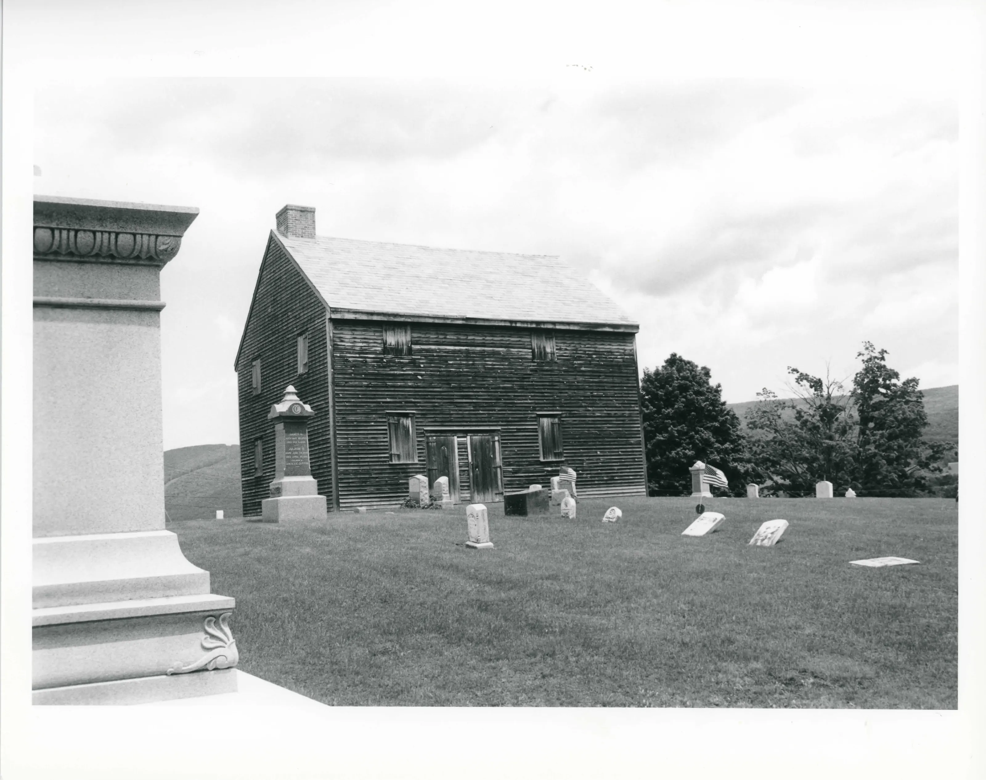
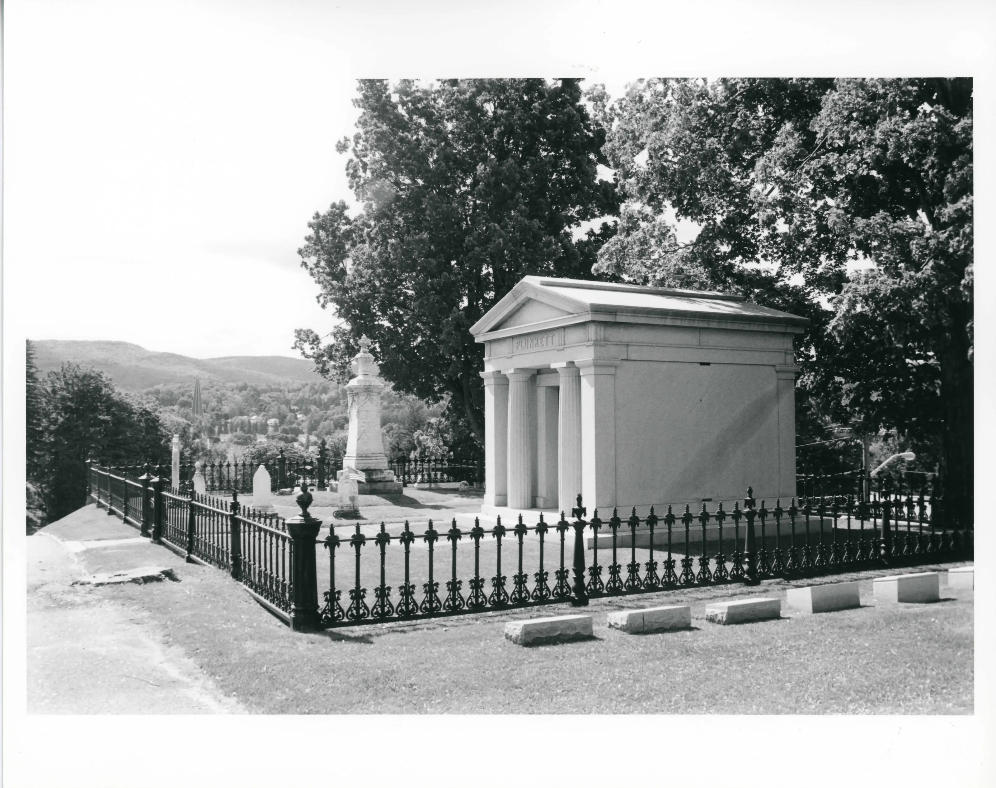
Cemetery of 16 acres on the west side of Adams, at the base of Mt. Greylock. It began as a Quaker family burying ground about 1767 and was joined with the town's burial area in 1859. A civil engineer drew the road plan in 1869. The 1784 Quaker Meeting House and a marble mausoleum of about 1900 stand within.
- Built
- ca. 1767; plan 1869
- Architect / builder
- Charles Franklin Sayles (civil engineer, 1869 plan)
- Style
- Designed landscape of the 1870s
- Significance and period
- Community development; Landscape Architecture
- People named
- Charles Franklin Sayles; William C. Plunkett; Levi L. Brown; James Renfrew, Jr.
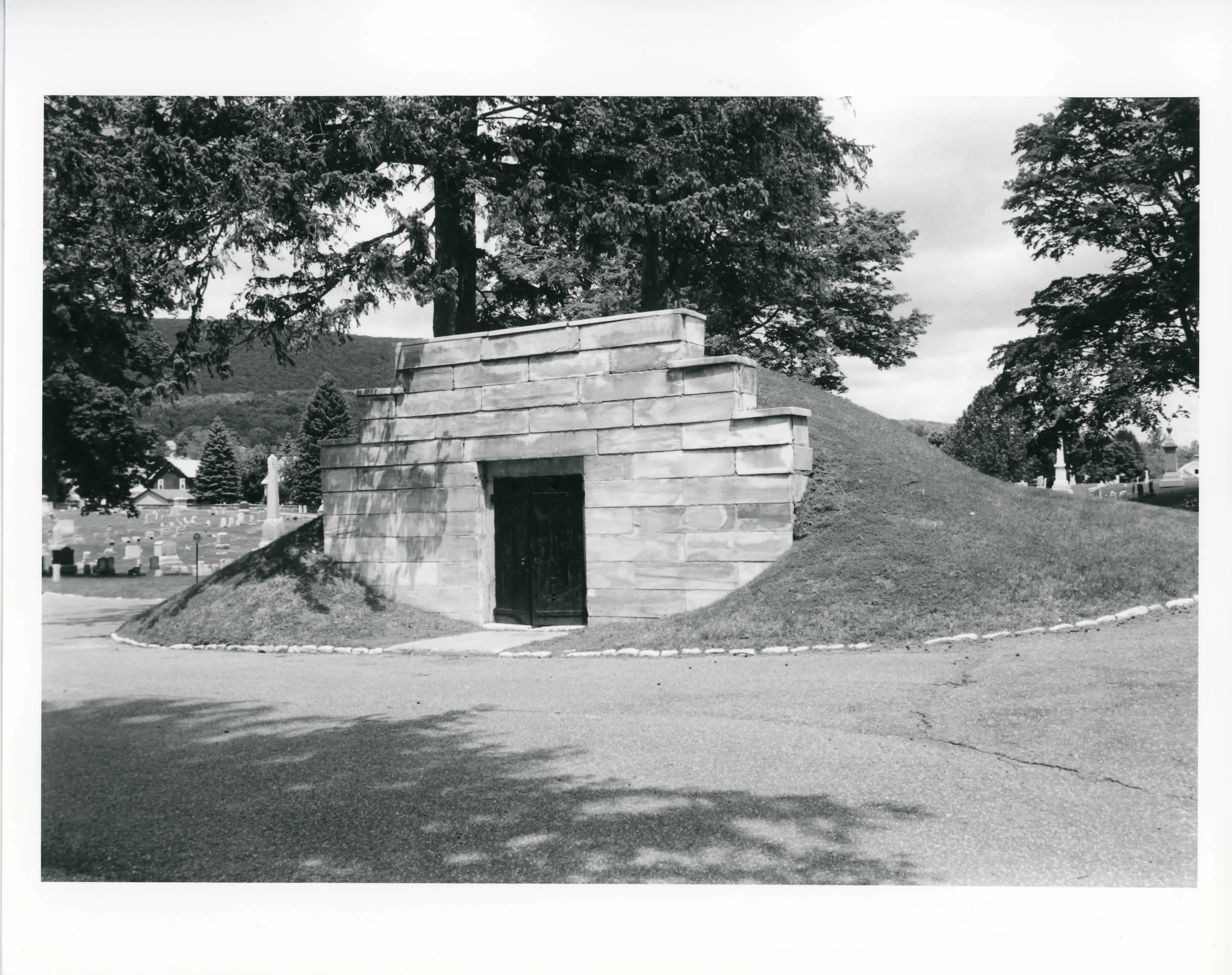
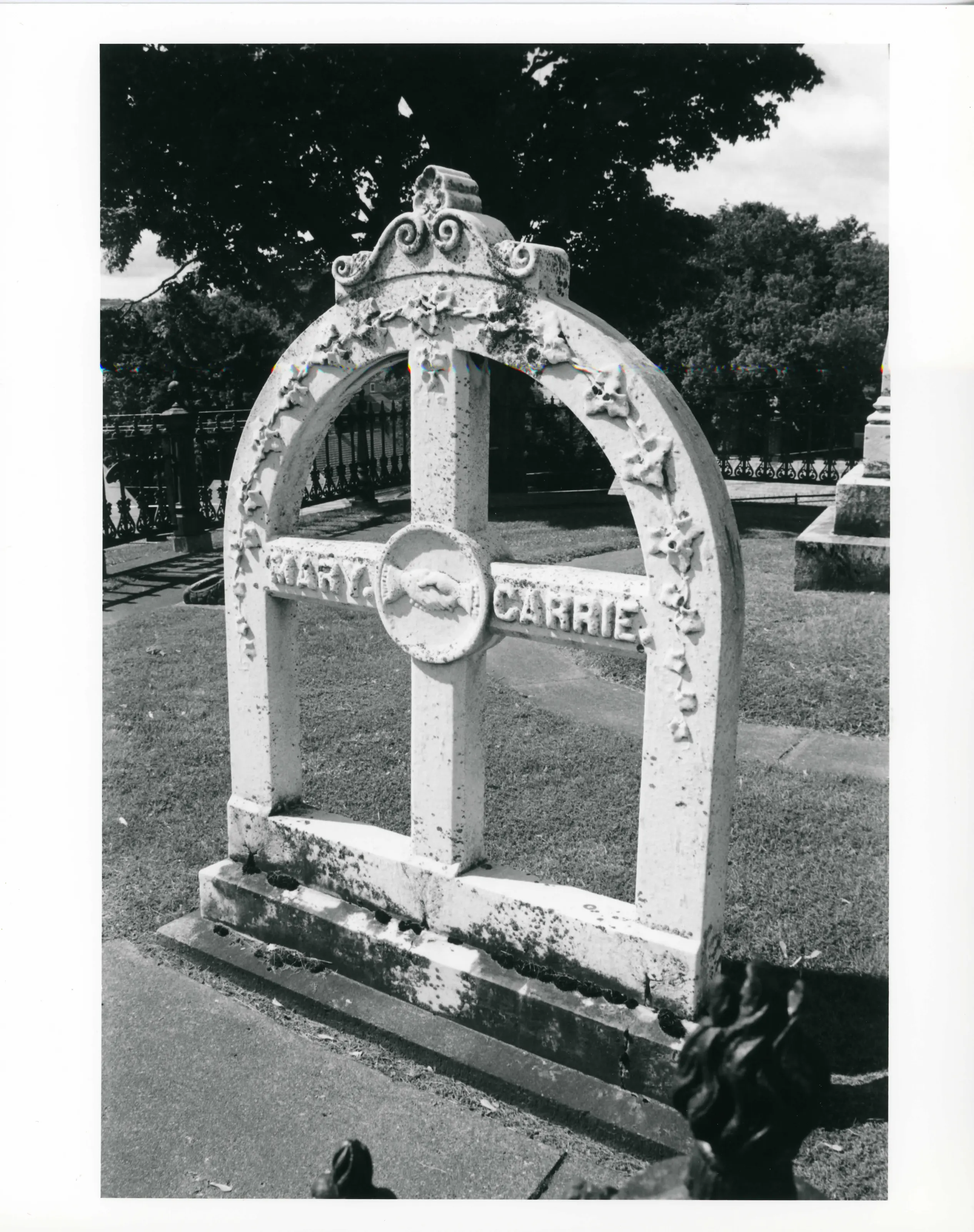
According to the nomination, it was the first and only public burying ground in Adams for 119 years. Native marble appears in its gravestones, receiving tomb and road curbing.
“Maple Street Cemetery is highly unusual as a designed landscape from the 1870s”
National Register nomination
Summary paraphrased from the nomination text; the form is linked below.
What the nomination says it is
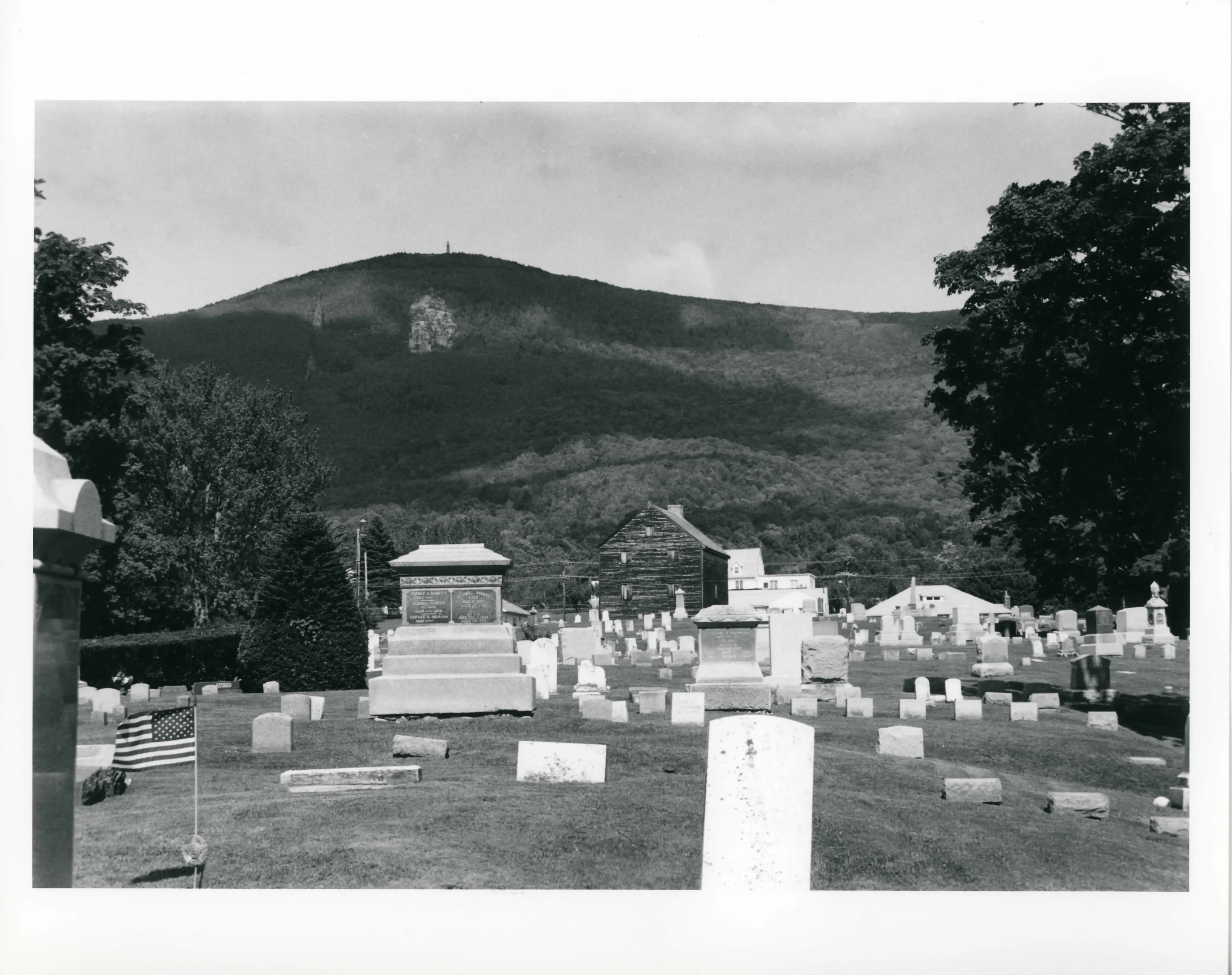
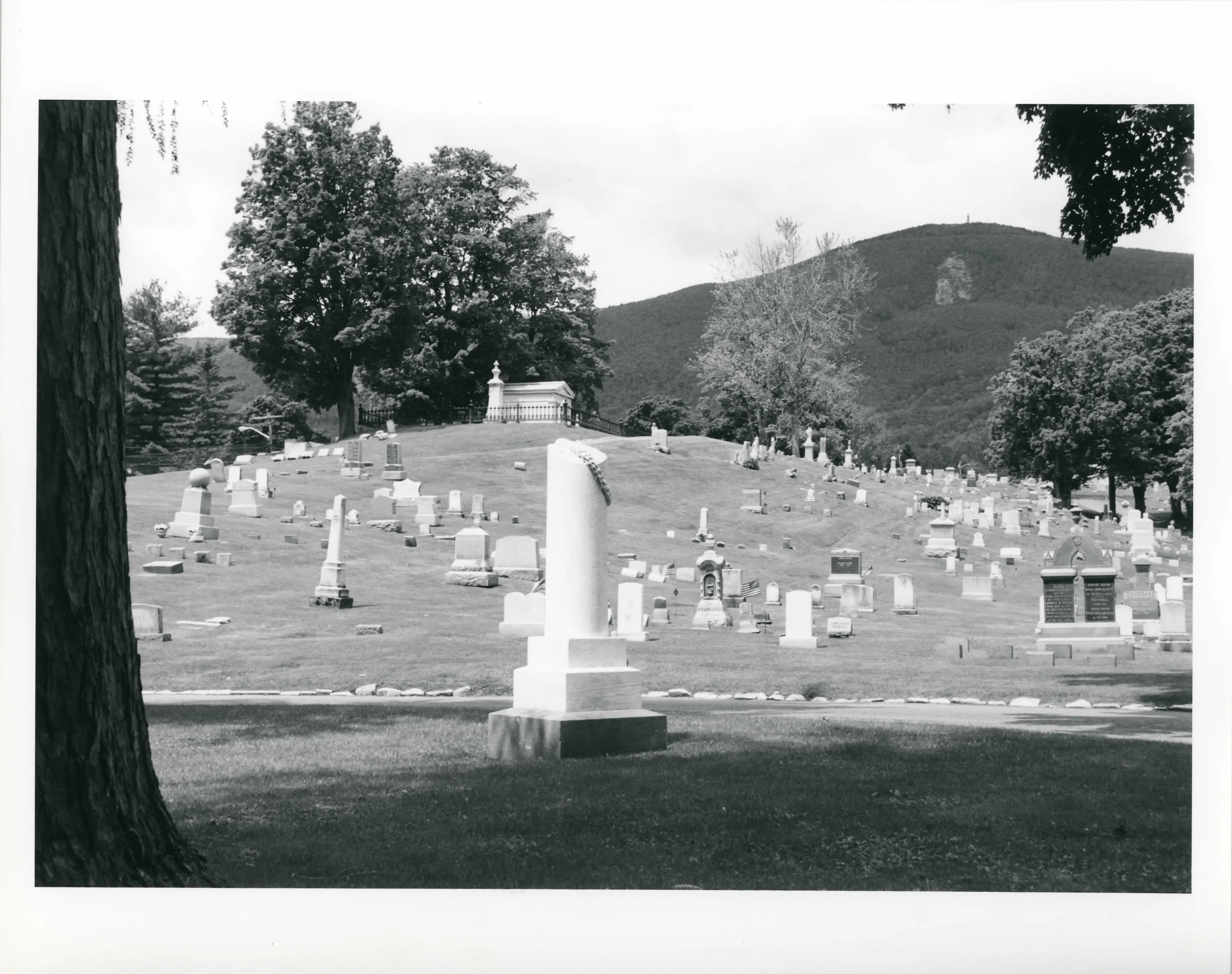
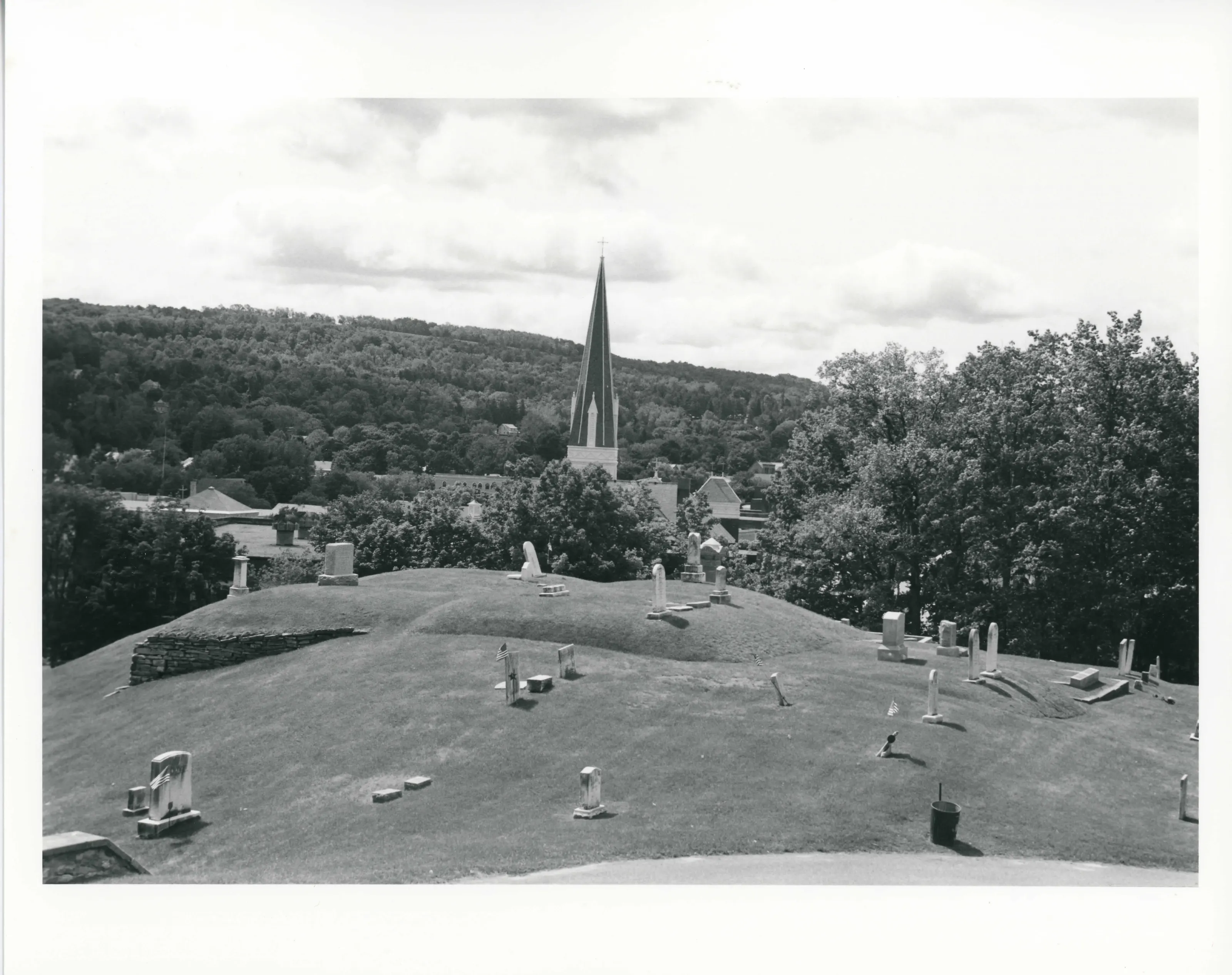
The cemetery retains the character of its earliest days in its location, setting, topography, views, layout and landscape features. Its location and setting provide the cemetery with outstanding visual qualities. The eastern slope of Mount Greylock rises gracefully above the cemetery's western border, creating a bold natural backdrop (photo #1).
From the National Register nomination, 2004.
Why it is on the Register
Maple Street Cemetery possesses integrity of location, design, setting, materials, workmanship, feeling, and association and meets National Register Criteria A and C on the local level. Associated with the broad patterns of Adams' history as well as possessing unusual merit as an 1870s designed landscape, Maple Street Cemetery also qualifies under Criteria Consideration D. Situated on a foothill of Mount Greylock. Maple Street Cemetery began as a small family burying ground, ca. 1767. Originally established by the Quakers, who built the Quaker Meeting House in 1784, the Town of Adams established its own, nearly contiguous, burial area prior to 1800. The two areas were joined under town ownership in 1859.
From the National Register nomination, 2004.
Quoted from the scanned form as the National Archives’ text layer reads it. Line breaks are joined; reading errors are left as they are.
Nearby listings in Adams
- Anthony House
- Armory Block
- Barrett, P. J., Block
- Berkshie Mill No. 1
- Hoosac Street School
- Jones Block
- Mausert Block
- Mount Greylock Summit Historic District
- Park Street Firehouse
- Phillips Woolen Mill
- Pittsfield & North Adams Passenger Station and Baggage & Express House
- Quaker Meetinghouse
- Renfrew Mill No. 2
- Simmons Block
- Summer Street Historic District
Sources, rights and limits
- Listing facts. National Park Service, National Register of Historic Places spatial data, queried 6 November 2026: type, year listed, landmark status, map location. U.S. government work, public domain.
- Nomination text and areas of significance. National Archives catalog record 63794174, “Massachusetts SP Maple Street Cemetery”. National Register nomination forms are U.S. government records and public domain. The quoted text is the catalog’s text layer (machine reading of the scan, 2025-07-29), not a transcription.
- Photographs. Photographs are reproduced from the nomination file at the National Archives with the photographer’s credit as typed on the print; rights may remain with the photographer. Write to hello@parcenomics.com to have one removed.
- Location line. Address as in the Park Service layer.
- Outline. Town boundary from the Commonwealth’s town layer, generalized. Not a survey.