West Stockbridge · National Register
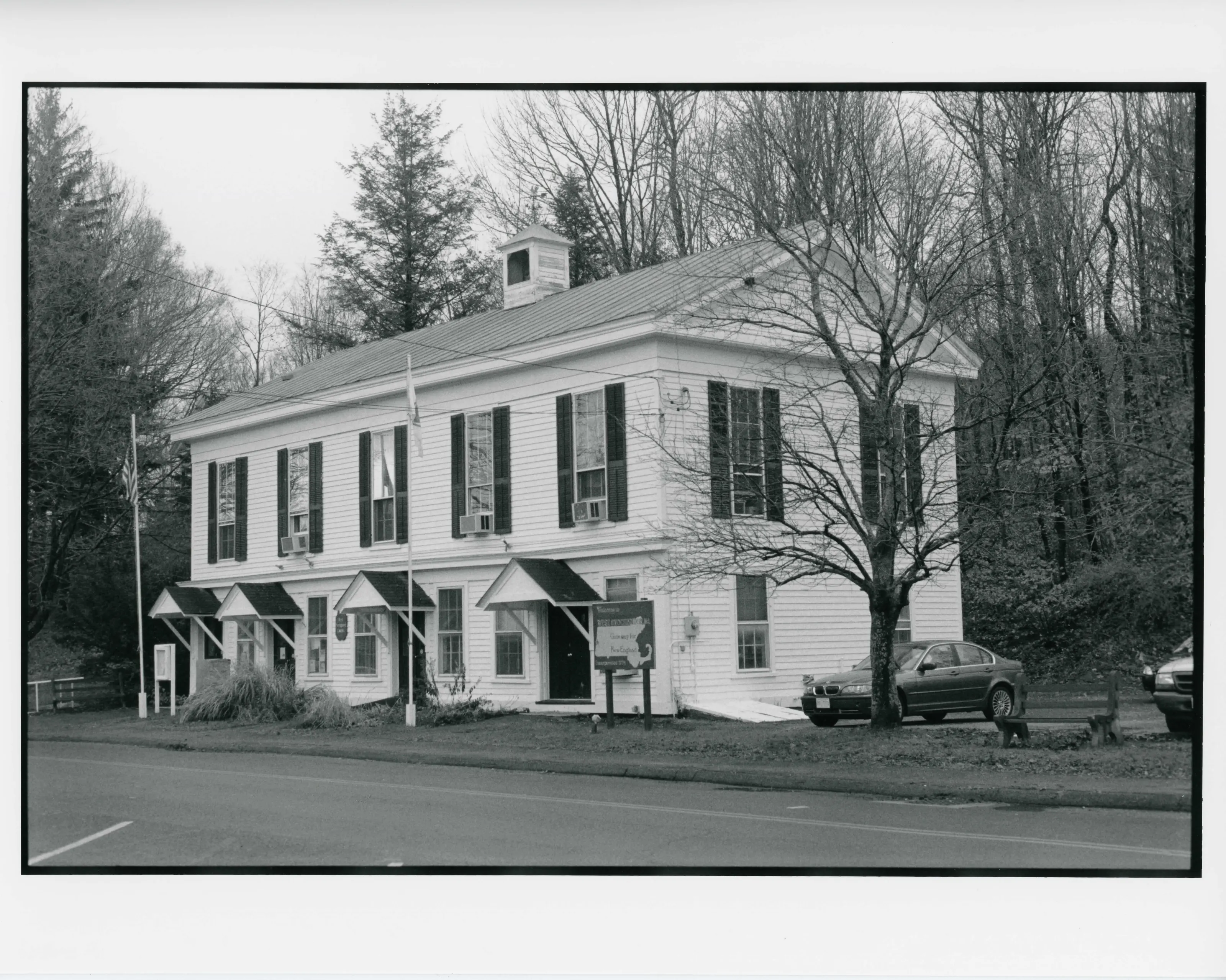
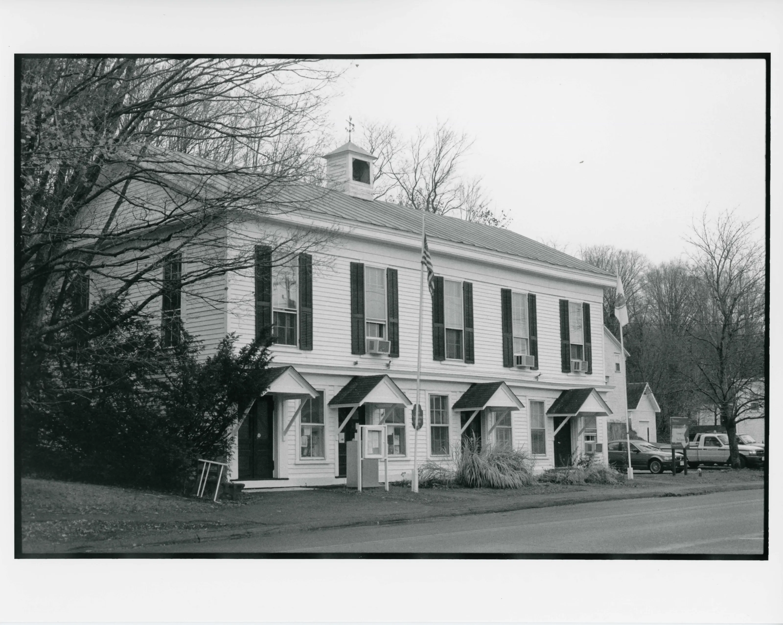
West Stockbridge Town Hall
Building · listed 2009
- Type
- Building
- Town
- West Stockbridge
- Listed
- 2009
- Location
- 9 Main St.
- Areas of significance
- Architecture; Commerce; Education; Entertainment/Recreation; Politics/Government
- Architectural classification
- Greek Revival
- Reference number
- 09000469
About this listing
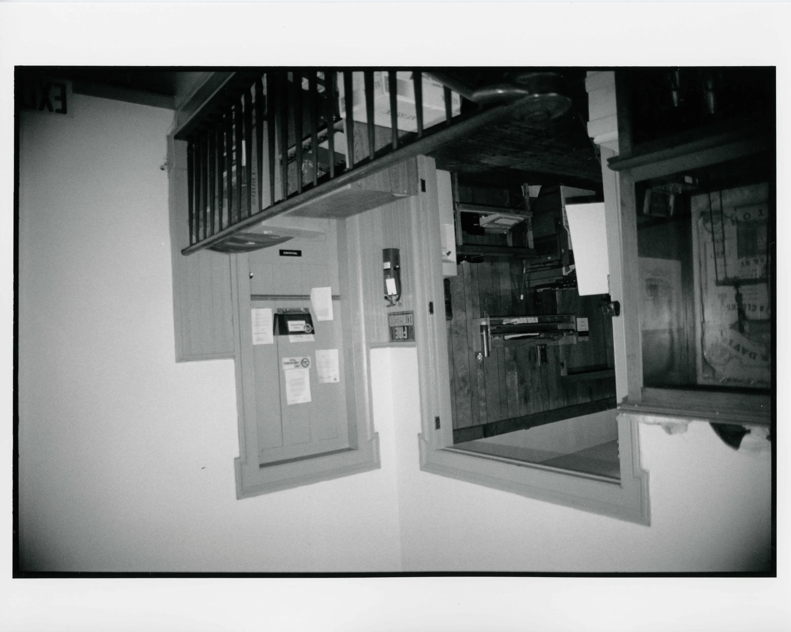
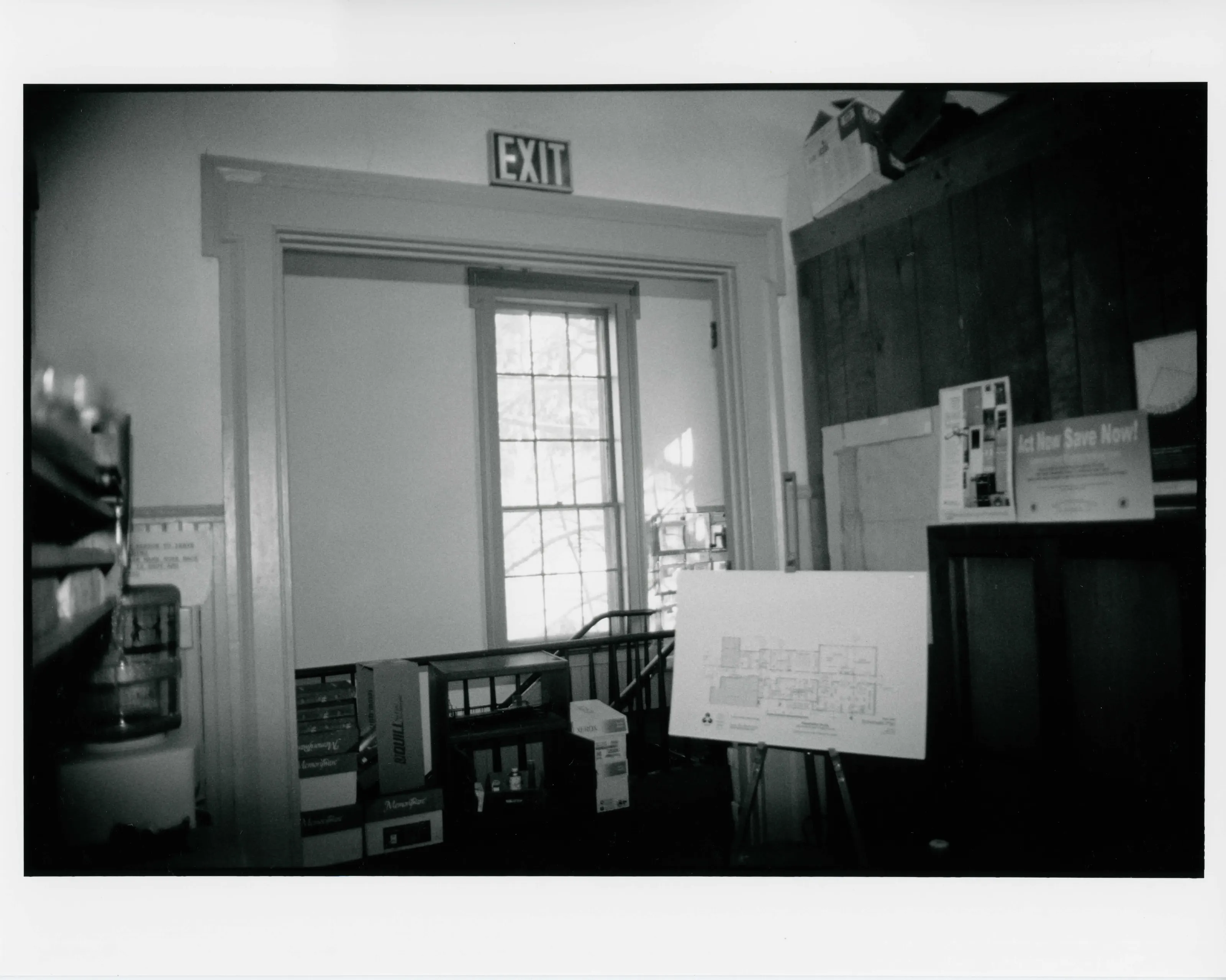
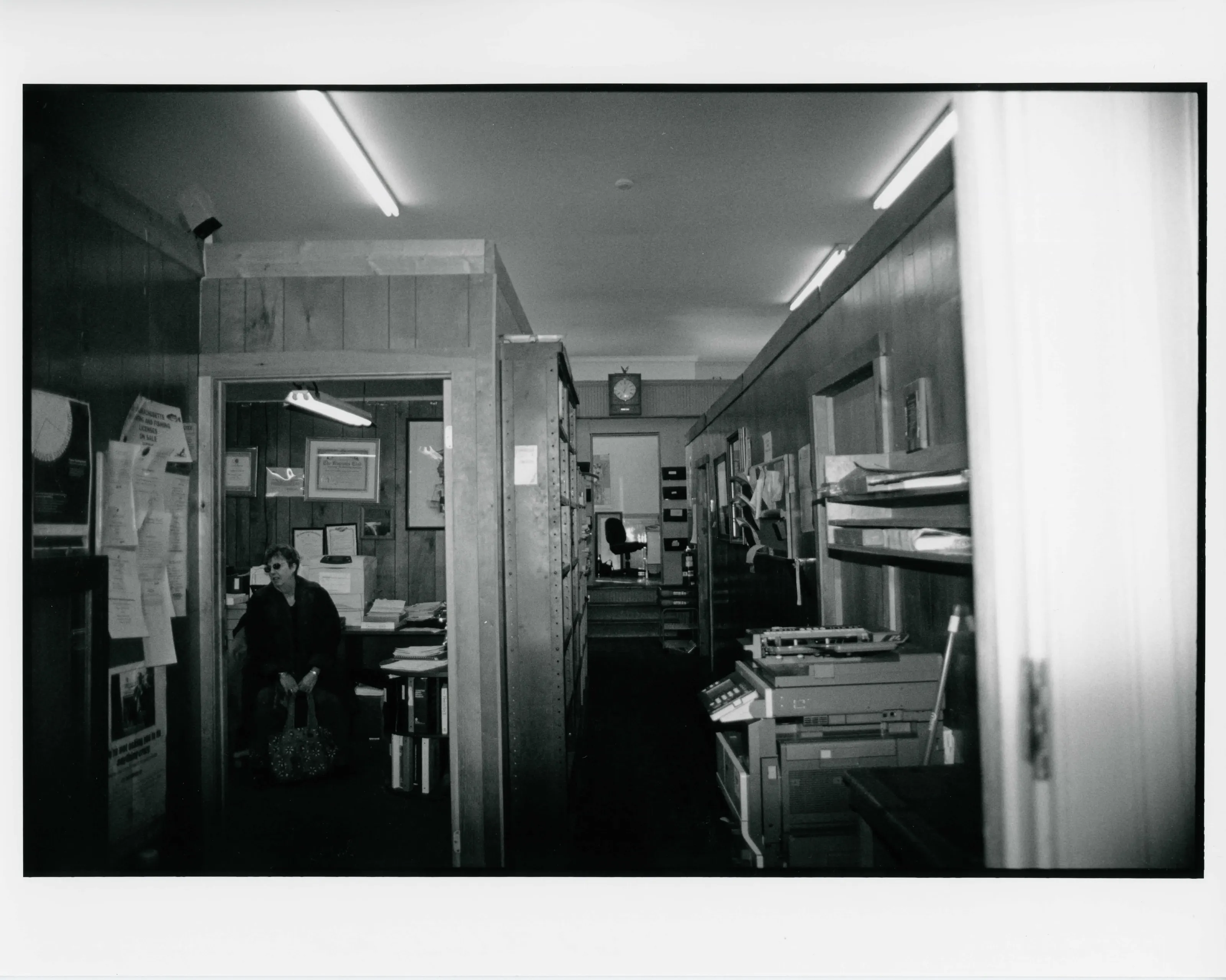
Two-story Greek Revival wood-frame town hall built in 1854, which the nomination counts among the oldest public buildings in West Stockbridge. It has also housed a bank, post office, law office, shops and library reading rooms.
- Built
- 1854
- Style
- Greek Revival
- Significance and period
- Architecture; Commerce; Education
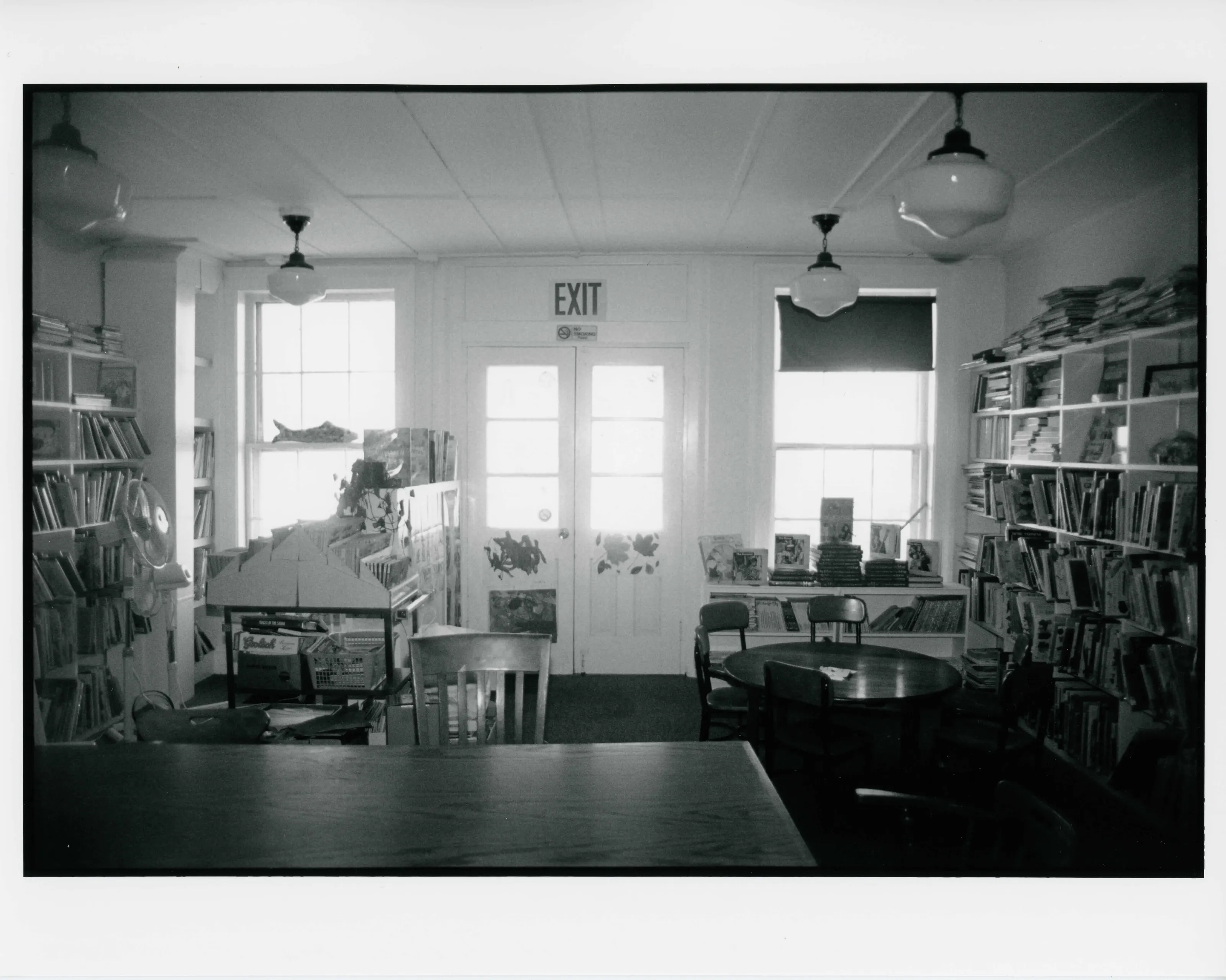
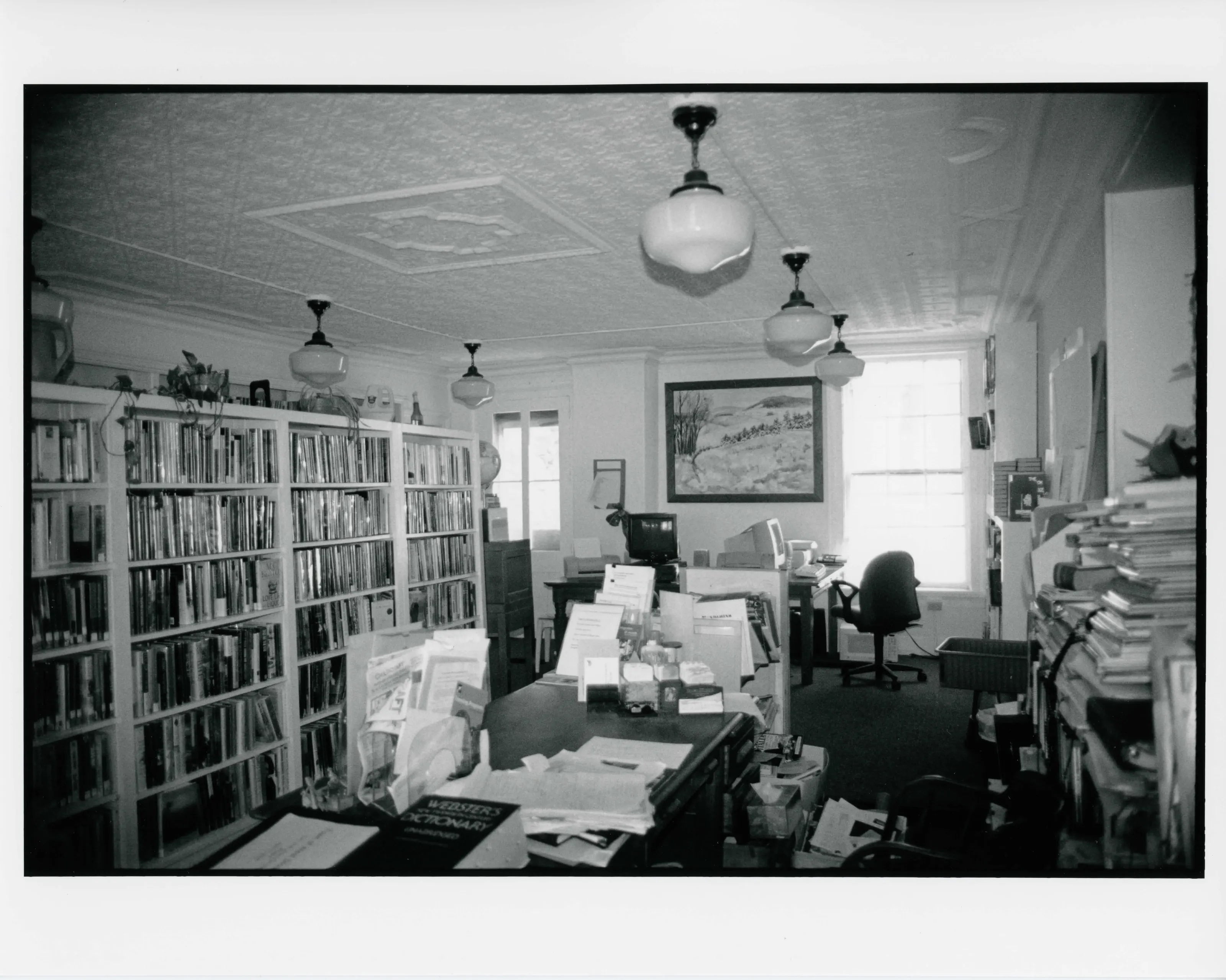
The town library moved into the first floor in 1901, and the second-floor auditorium has since been divided into offices.
“one of the oldest public buildings in town”
National Register nomination
Summary paraphrased from the nomination text; the form is linked below.
What the nomination says it is
West Stockbridge is a rural town of about 1,650 residents, located on the Massachusetts/New York border. The town's steep, rocky terrain, part of the Berkshire Mountains, has left it sparsely populated and minimally developed. The town's primary village (West Stockbridge Center) lies in the valley between Maple Hill and Harvey Mountain, where Rawson's and Wilson's Brooks provided water to the town's early farms.
From the National Register nomination, 2009.
Why it is on the Register
The historic town hall meets both Criteria A and C on the National Register as a locally significant property. The Greek Revival municipal building in West Stockbridge is one of the oldest public buildings in town. For more than 150 years it has served not only as a municipal meeting place and government center, but also as an office space for a bank, post office, and law office, retail space, and reading rooms for the town's library. The Town Hall's second-floor auditorium was used by local bands, sports teams, drama clubs, fratemal organizations, traveling lectures and performers, and has hosted graduations and other civic functions.
From the National Register nomination, 2009.
Quoted from the scanned form as the National Archives’ text layer reads it. Line breaks are joined; reading errors are left as they are.
Nearby listings in West Stockbridge
Sources, rights and limits
- Listing facts. National Park Service, National Register of Historic Places spatial data, queried 6 November 2026: type, year listed, landmark status, map location. U.S. government work, public domain.
- Nomination text and areas of significance. National Archives catalog record 63794204, “Massachusetts SP West Stockbridge Town Hall”. National Register nomination forms are U.S. government records and public domain. The quoted text is the catalog’s text layer (machine reading of the scan, 2025-07-29), not a transcription.
- Photographs. Photographs are reproduced from the nomination file at the National Archives with the photographer’s credit as typed on the print; rights may remain with the photographer. Write to hello@parcenomics.com to have one removed.
- Location line. Address as in the Park Service layer.
- Outline. Town boundary from the Commonwealth’s town layer, generalized. Not a survey.