Washington · National Register
Upper Historic District
Historic district · listed 1987
- Type
- Historic district
- Town
- Washington
- Listed
- 1987
- Multiple property listing
- Washington MRA
- Location
- Roughly between Branch and Frost Rds. on Washington Mountain Rd.
- Areas of significance
- Education; Architecture
- Architectural classification
- Federal; Greek Revival
- Reference number
- 86002145
About this listing
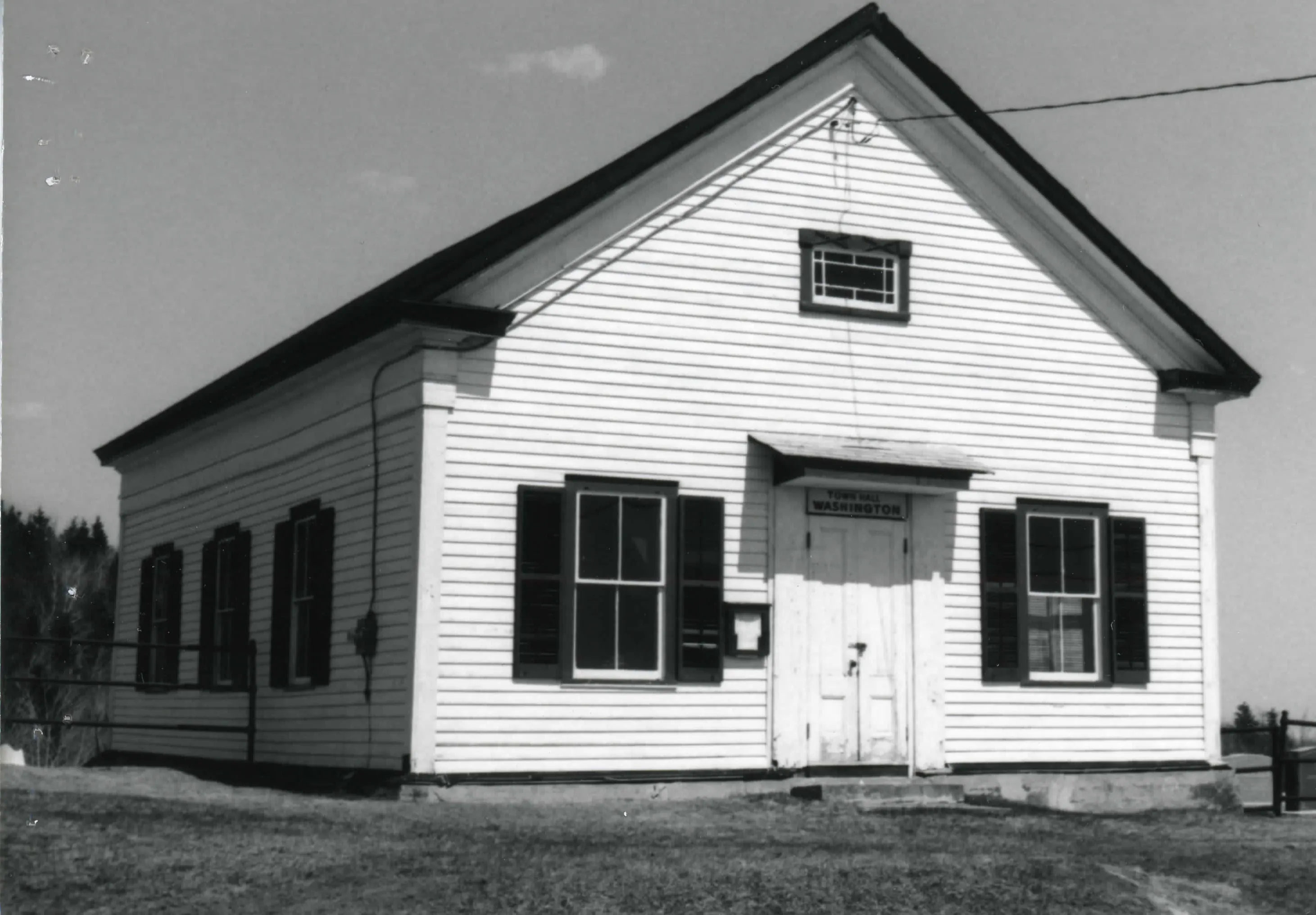
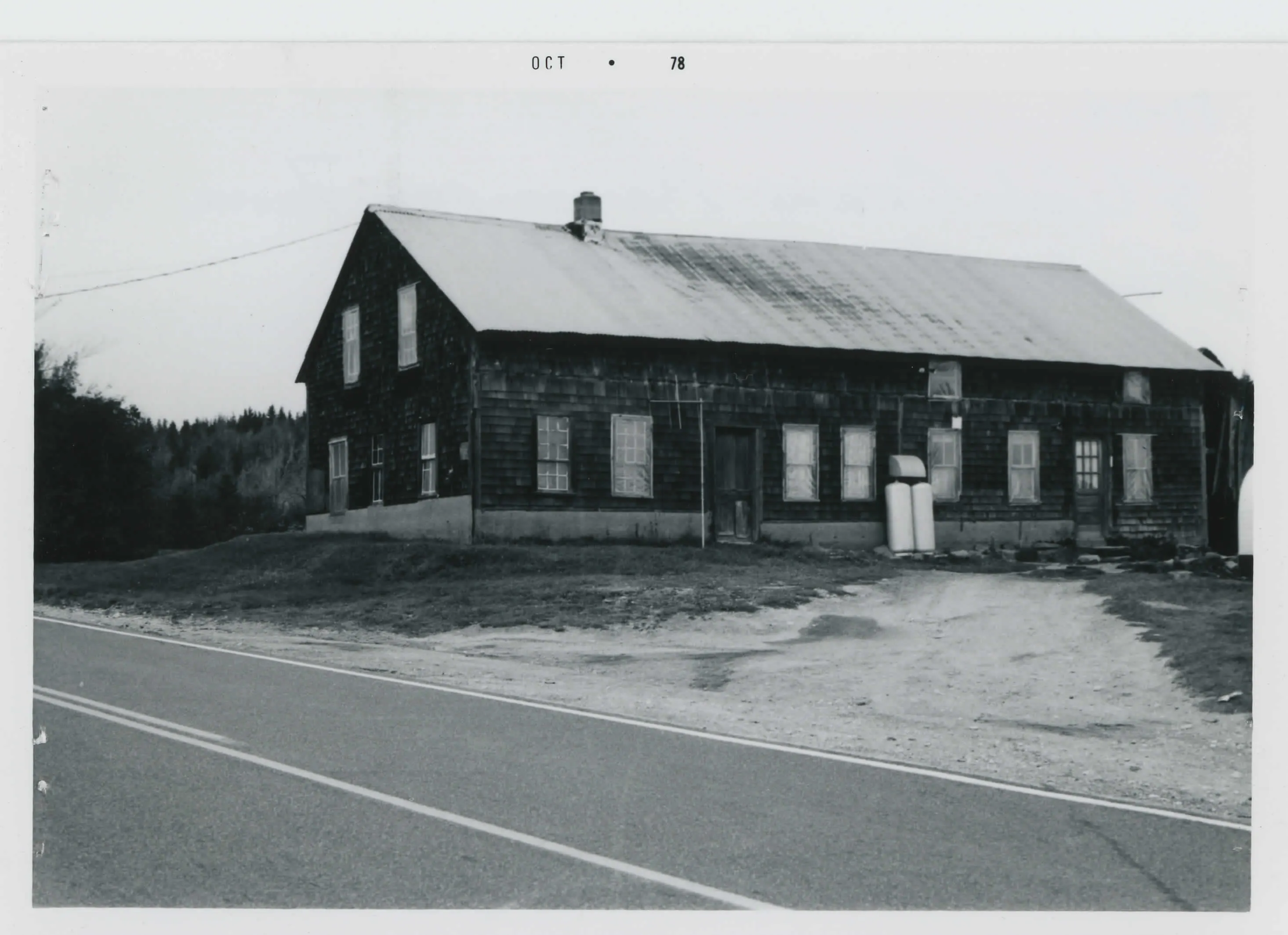
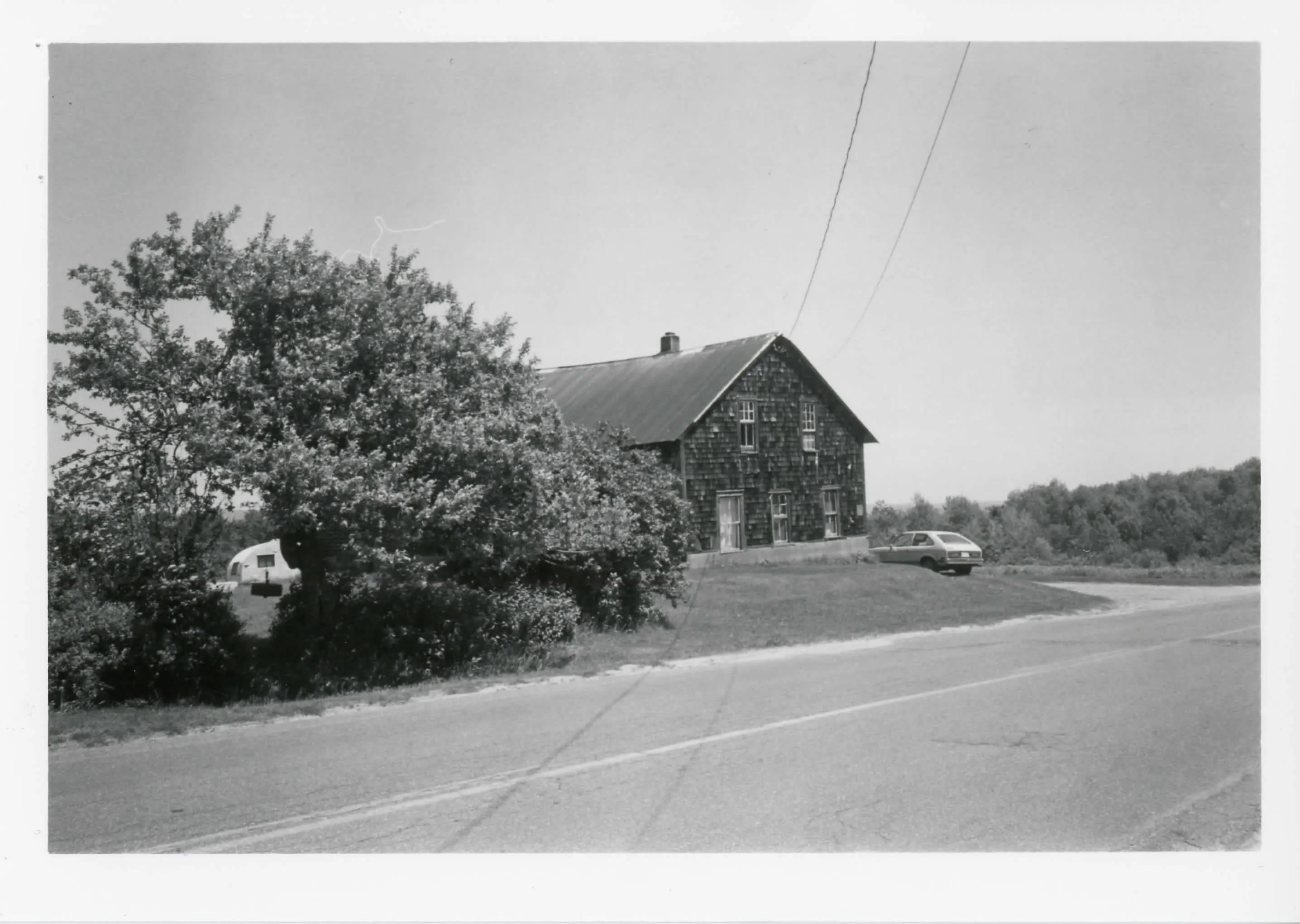
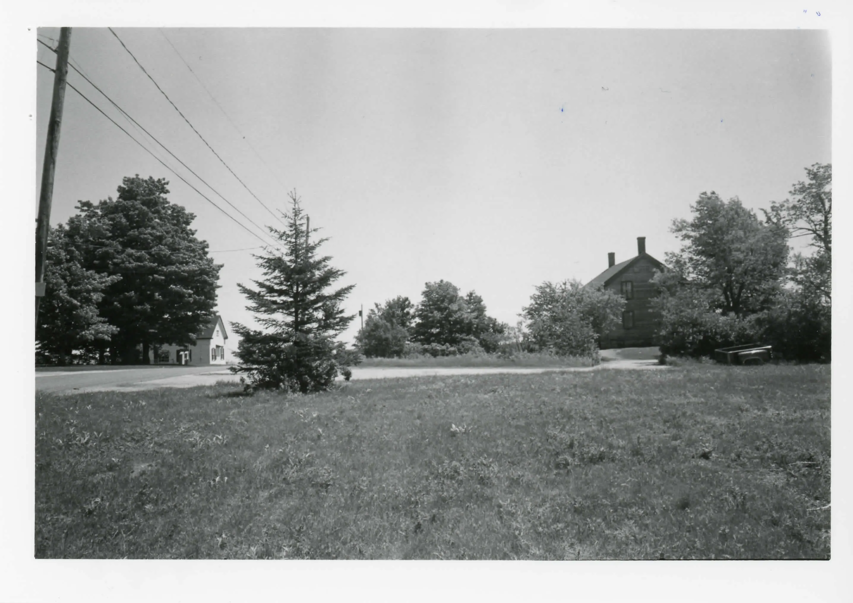
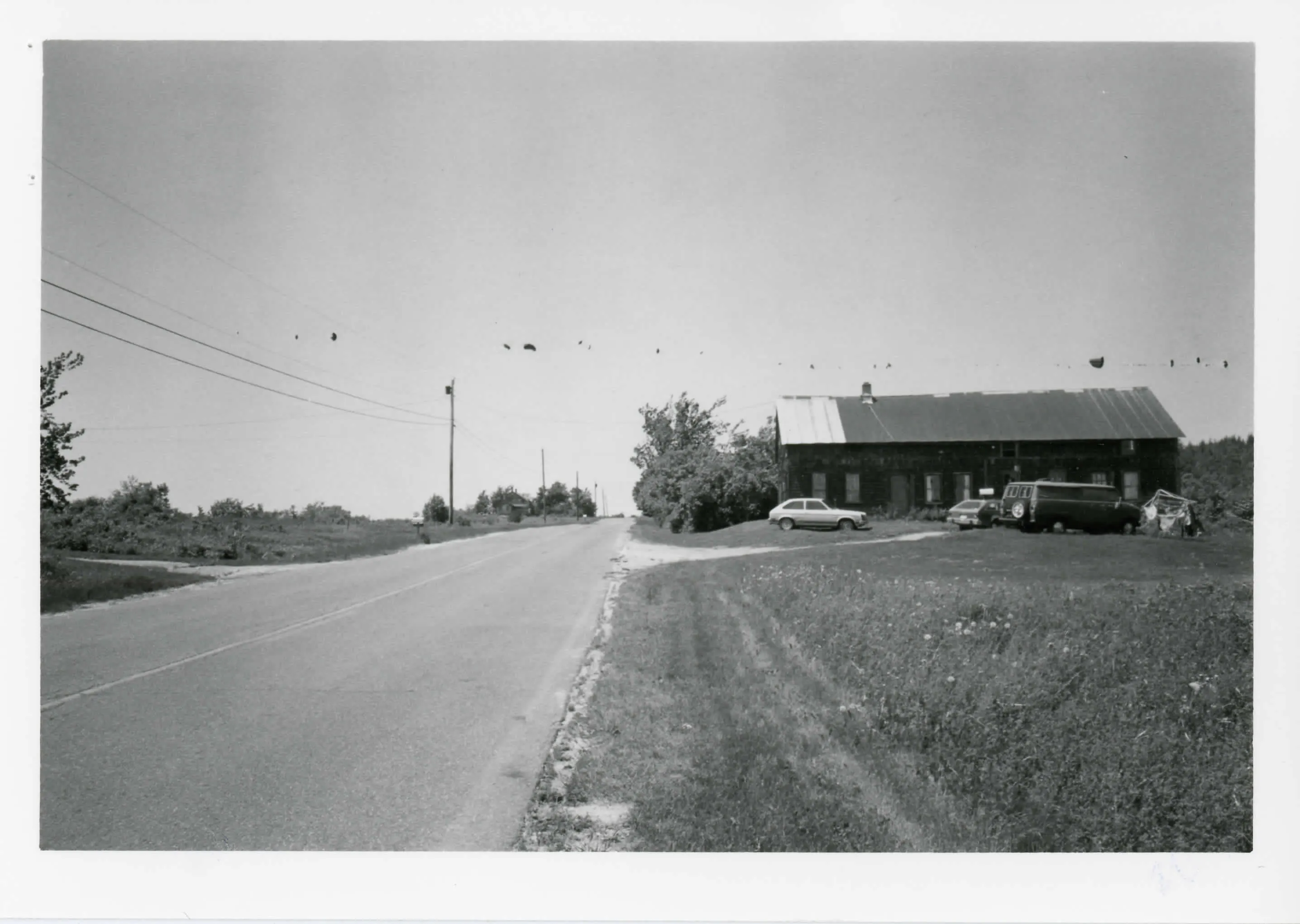
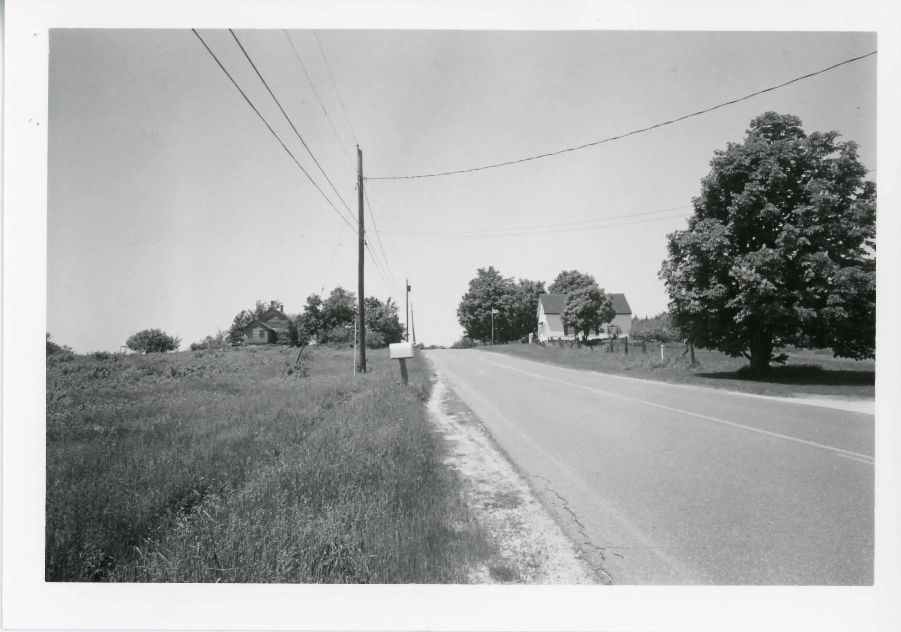
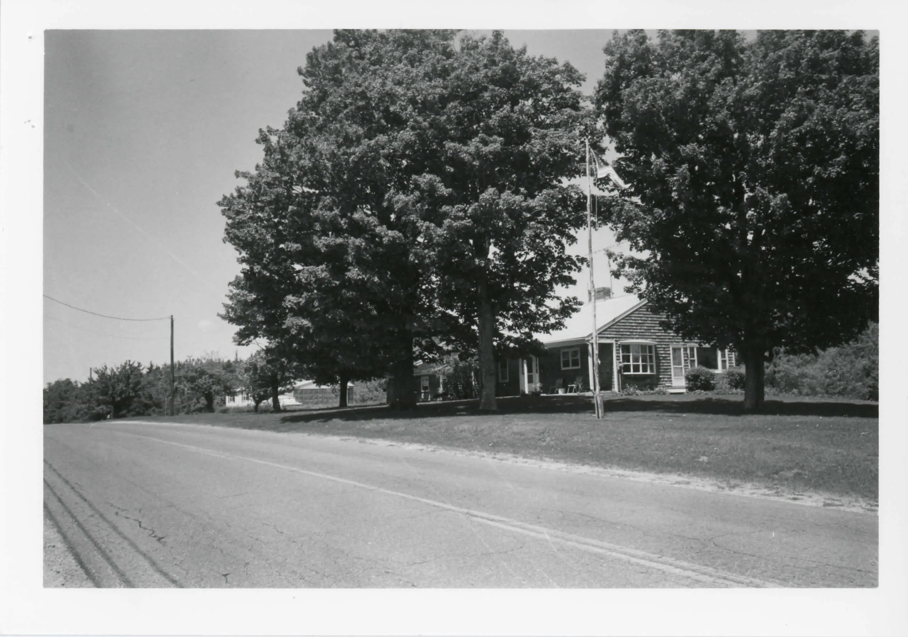
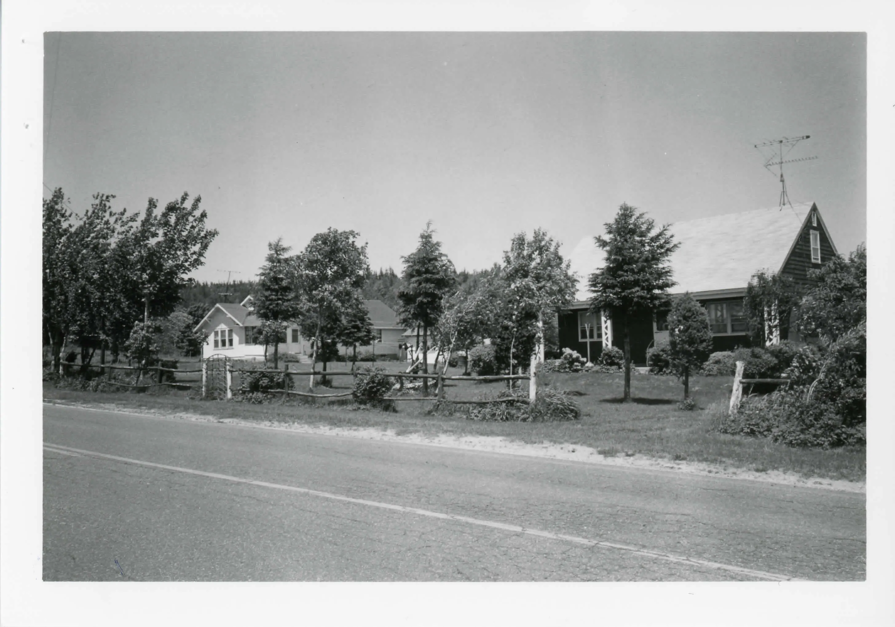
Washington's original town center, strung along Washington Mountain Road near the summit at about 1,990 feet. Ten properties: the town pound of 1783, a cemetery first used in 1776, the town hall and two Federal-period houses, one a former tavern. Five recent houses do not contribute. The meetinghouse of 1773 is gone.
- Built
- 1773-early 19th century
- Style
- Federal
- Significance and period
- Architecture; Community planning and development
- People named
- Elijah Crane; Jasper Morgan
The settlement lost importance by the mid-19th century when a new settlement grew around the railroad line down the mountain. The Pontoosic Turnpike, a toll road from 1809 to 1842, ran along the road.
“the district documents an early settlement node that failed to develop into a full-fledged rural village center”
National Register nomination
Summary paraphrased from the nomination text; the form is linked below.
The scanned form’s text could not be separated into its description and significance sections reliably, so those two sections are not quoted here. The full form is linked below.
Sources, rights and limits
- Listing facts. National Park Service, National Register of Historic Places spatial data, queried 6 November 2026: type, year listed, landmark status, map location. U.S. government work, public domain.
- Nomination text and areas of significance. National Archives catalog record 63789257, “Massachusetts MPS Upper Historic District”. National Register nomination forms are U.S. government records and public domain. The quoted text is the catalog’s text layer (machine reading of the scan, 2025-07-29), not a transcription.
- Photographs. Photographs are reproduced from the nomination file at the National Archives with the photographer’s credit as typed on the print; rights may remain with the photographer. Write to hello@parcenomics.com to have one removed.
- Location line. Address as in the Park Service layer.
- Outline. Town boundary from the Commonwealth’s town layer, generalized. Not a survey.