Tyringham · National Register
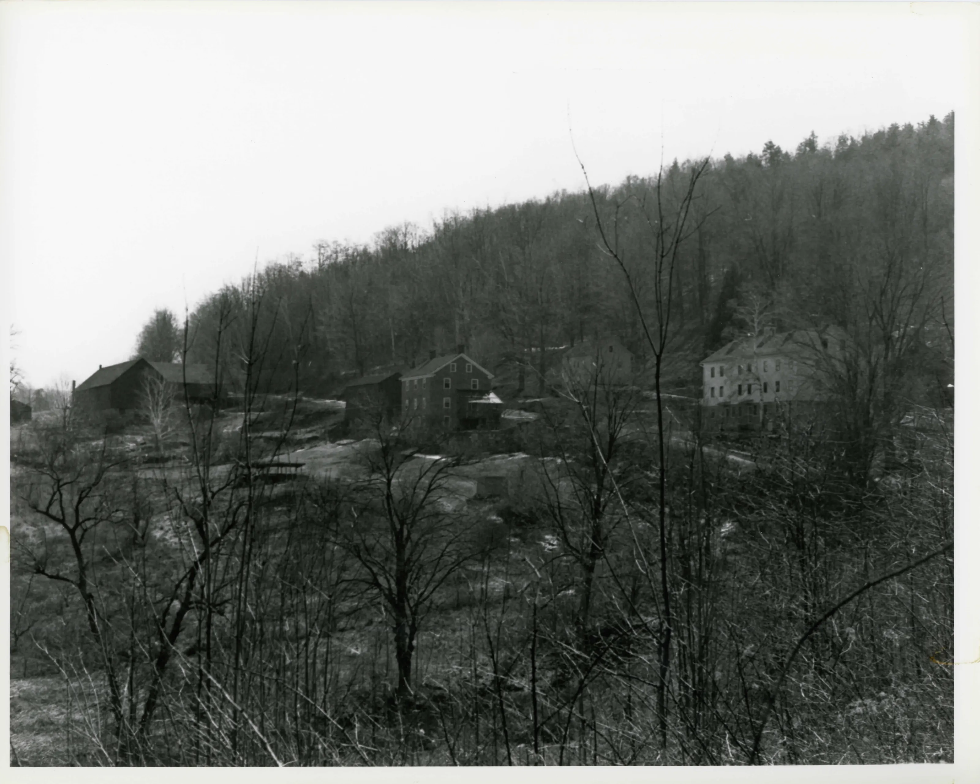
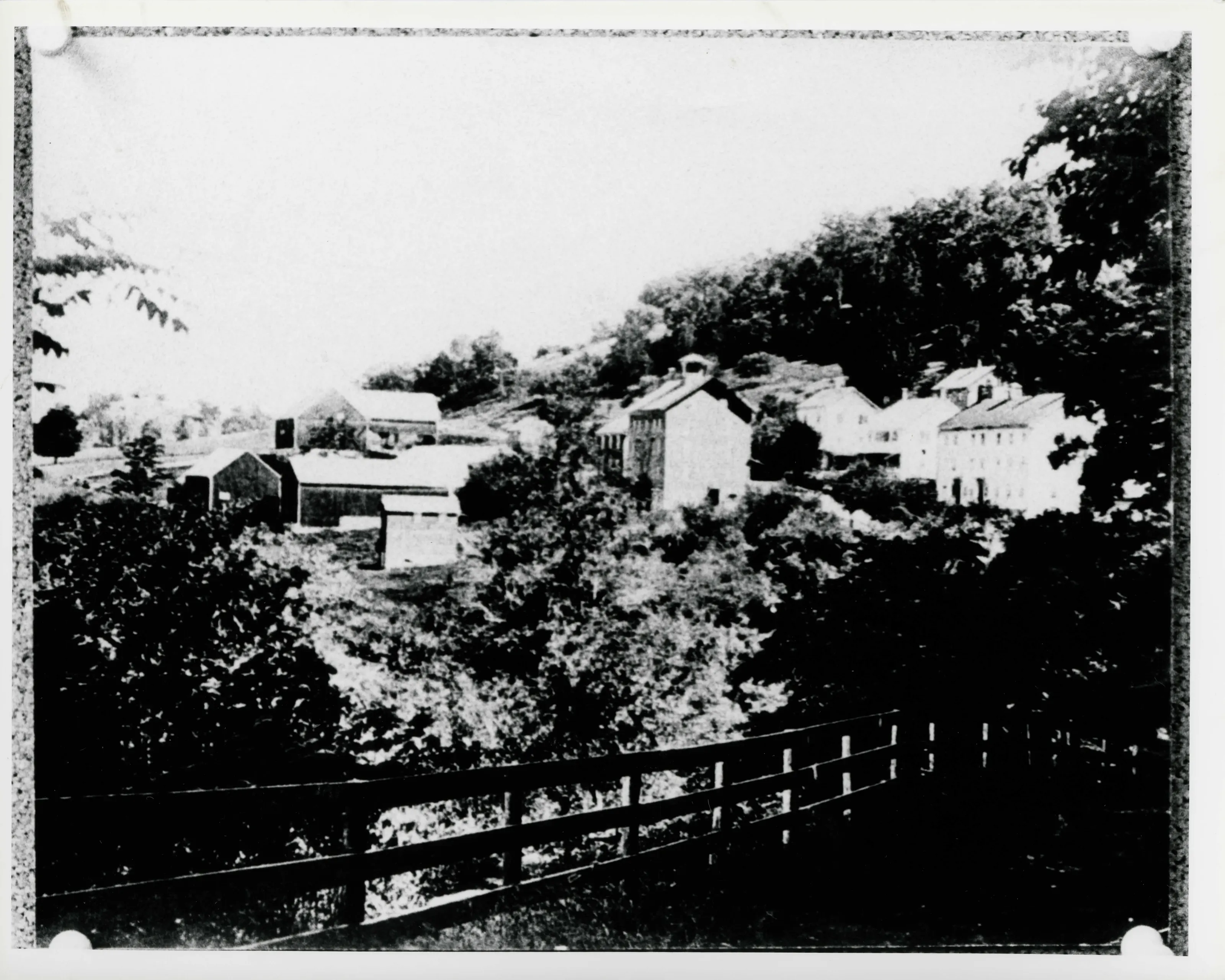
Tyringham Shaker Settlement Historic District
Historic district · listed 1987
- Type
- Historic district
- Town
- Tyringham
- Listed
- 1987
- Location
- Jerusalem Rd.
- Areas of significance
- Archeology: Historic; Architecture; Community Planning and Development; Religion; Social History
- Architectural classification
- Federal; Greek Revival; Italianate
- Reference number
- 87001785
About this listing
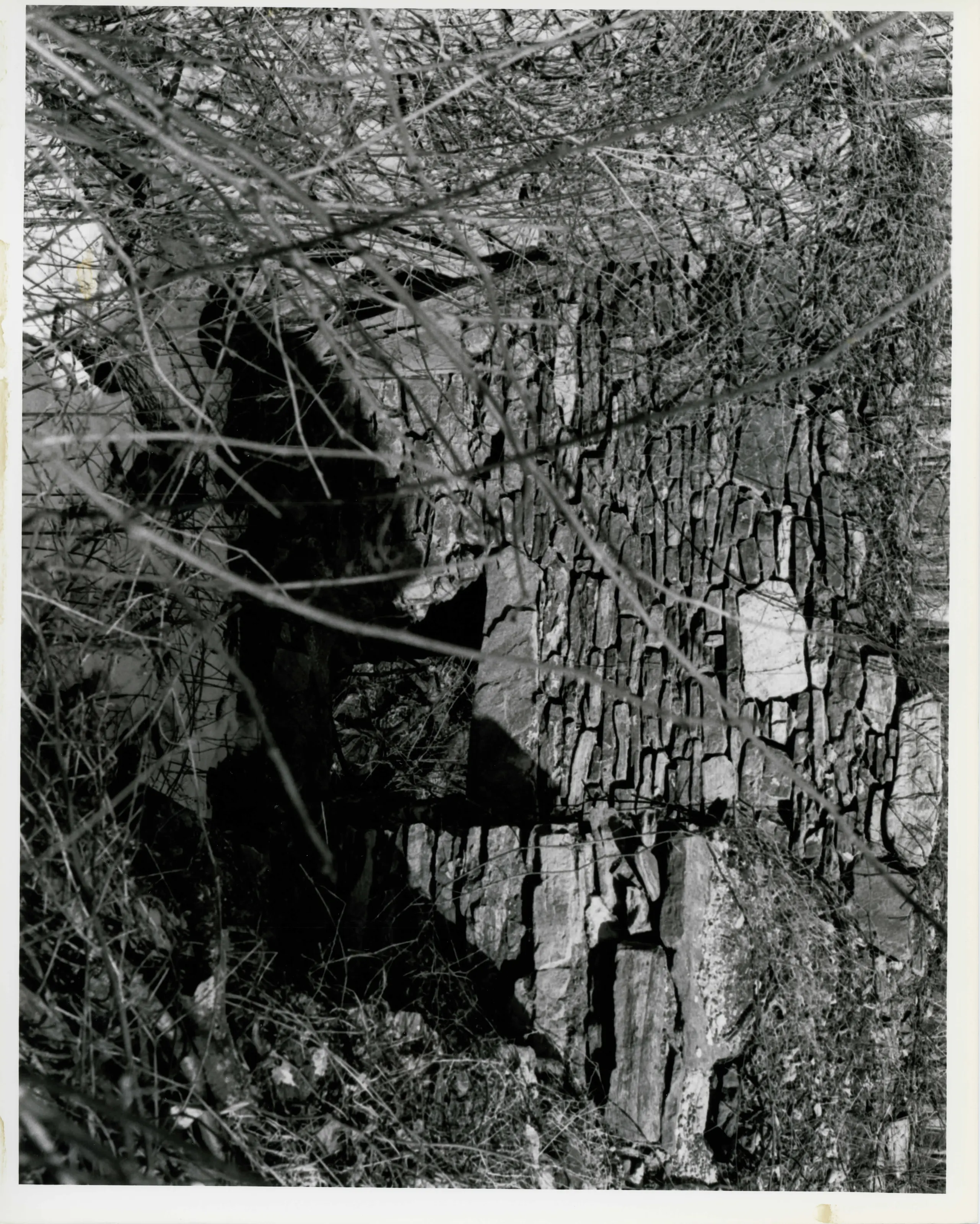
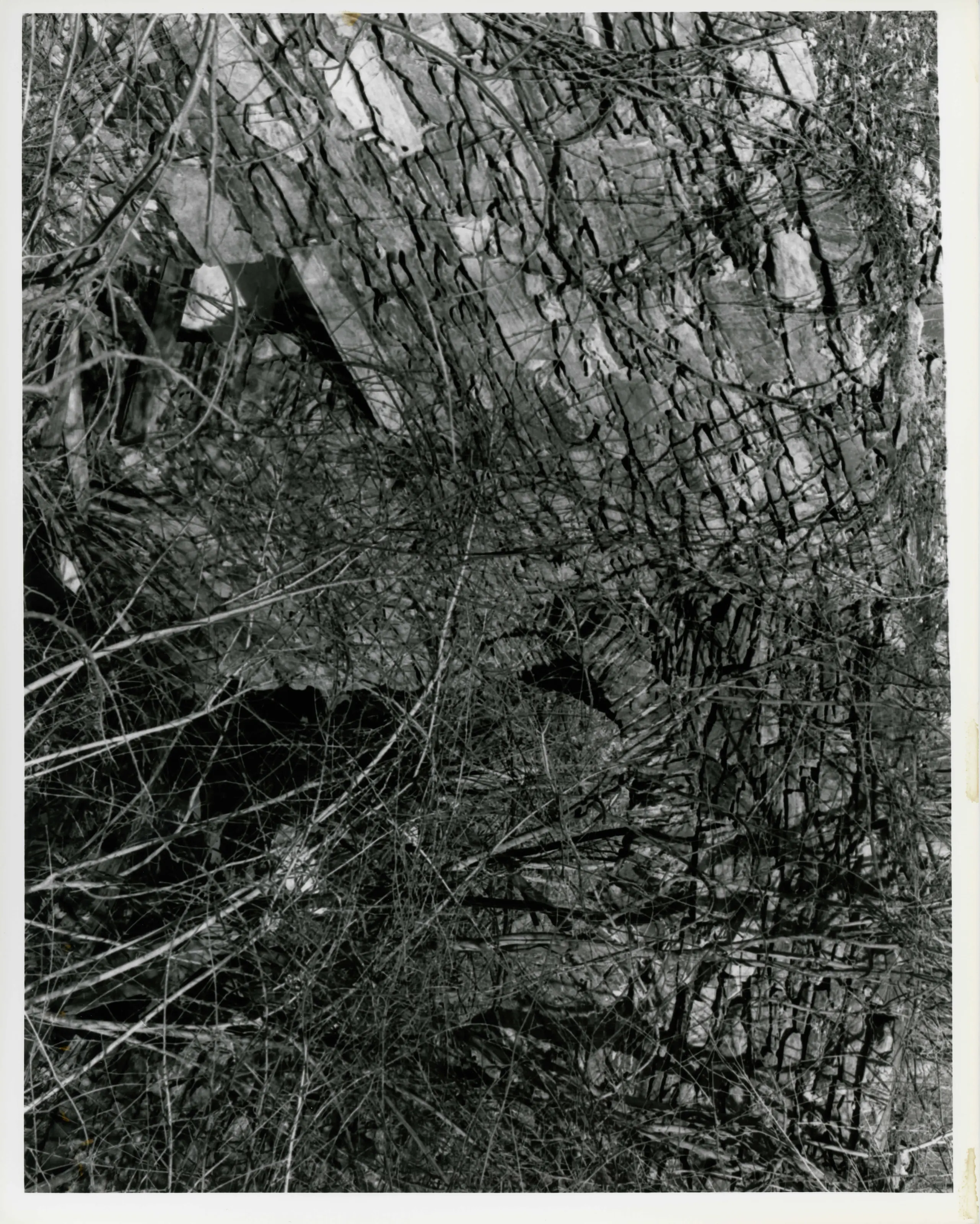
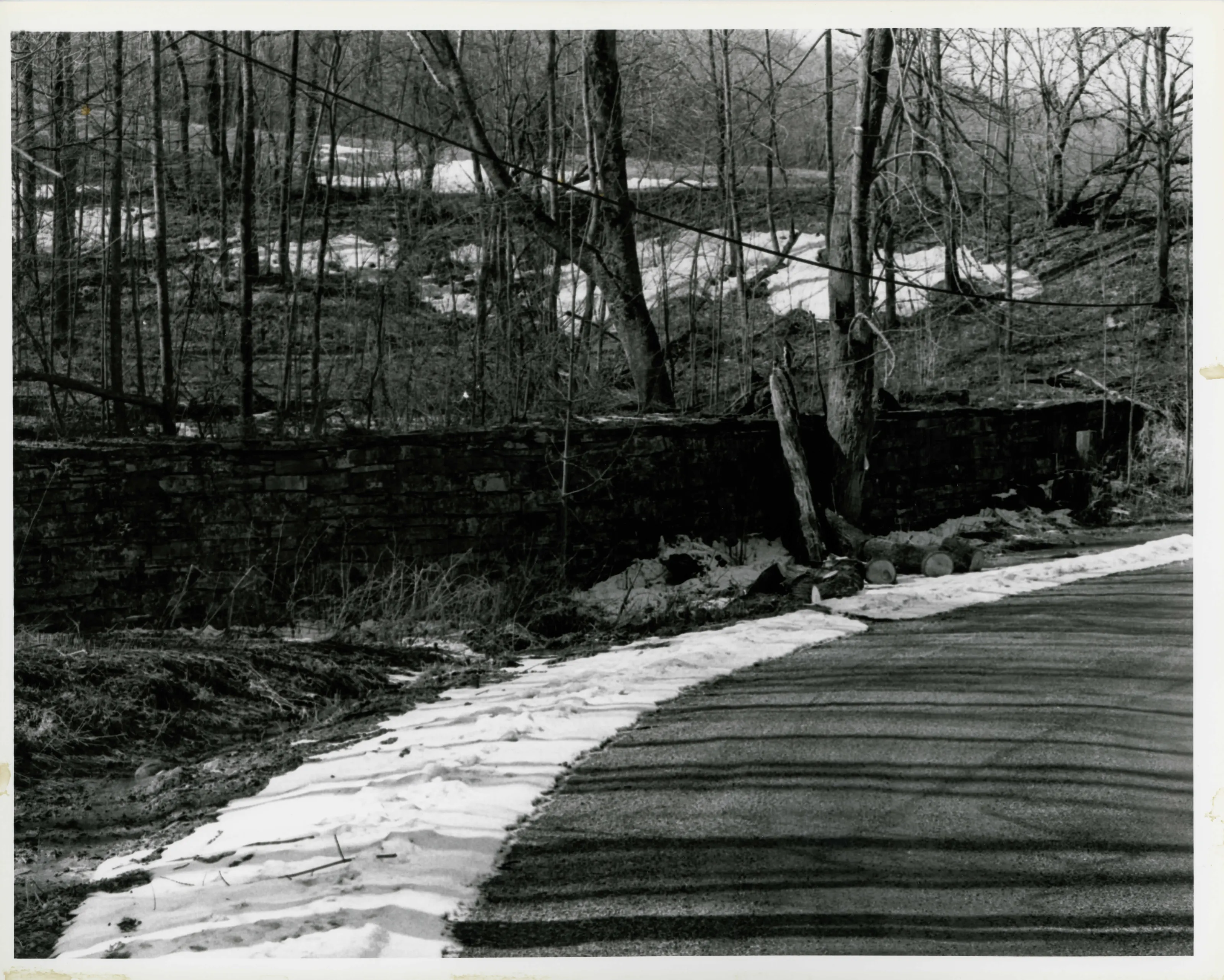
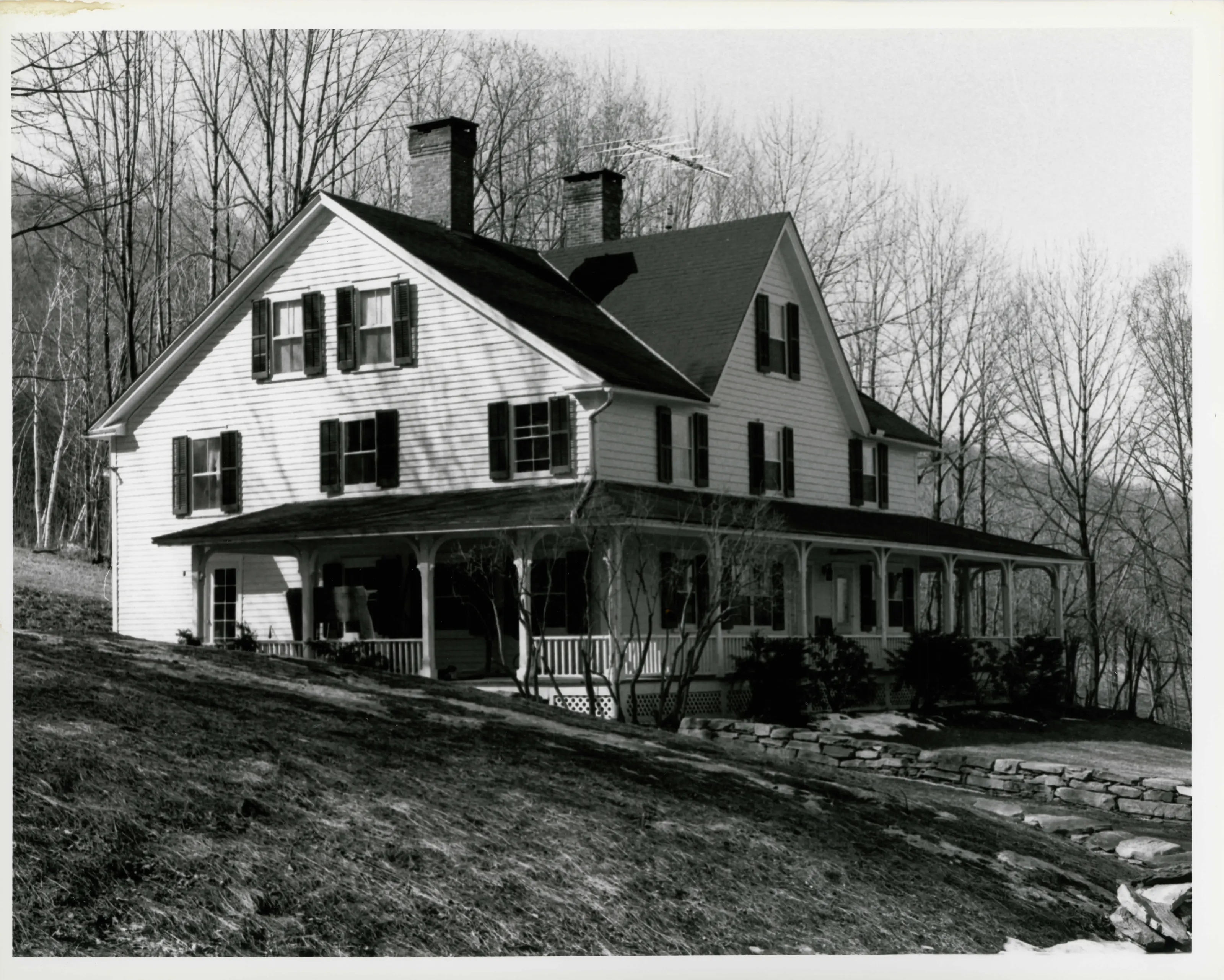
Shaker settlement in Tyringham with North and South Family complexes. The North Family made shoes and maple sugar; the South Family drew power from Shaker Pond, created in 1830 with a dry-laid stone dam.
- Built
- 1830 (Shaker Pond dam); 1833 (dairy and weave house)
- Significance and period
- Historic archeology
A Shaker visitor in 1846 reported that the North Family made 'a ton or more' of maple sugar a year.
“They make a ton or more a year.”
National Register nomination
Summary paraphrased from the nomination text; the form is linked below.
Why it is on the Register
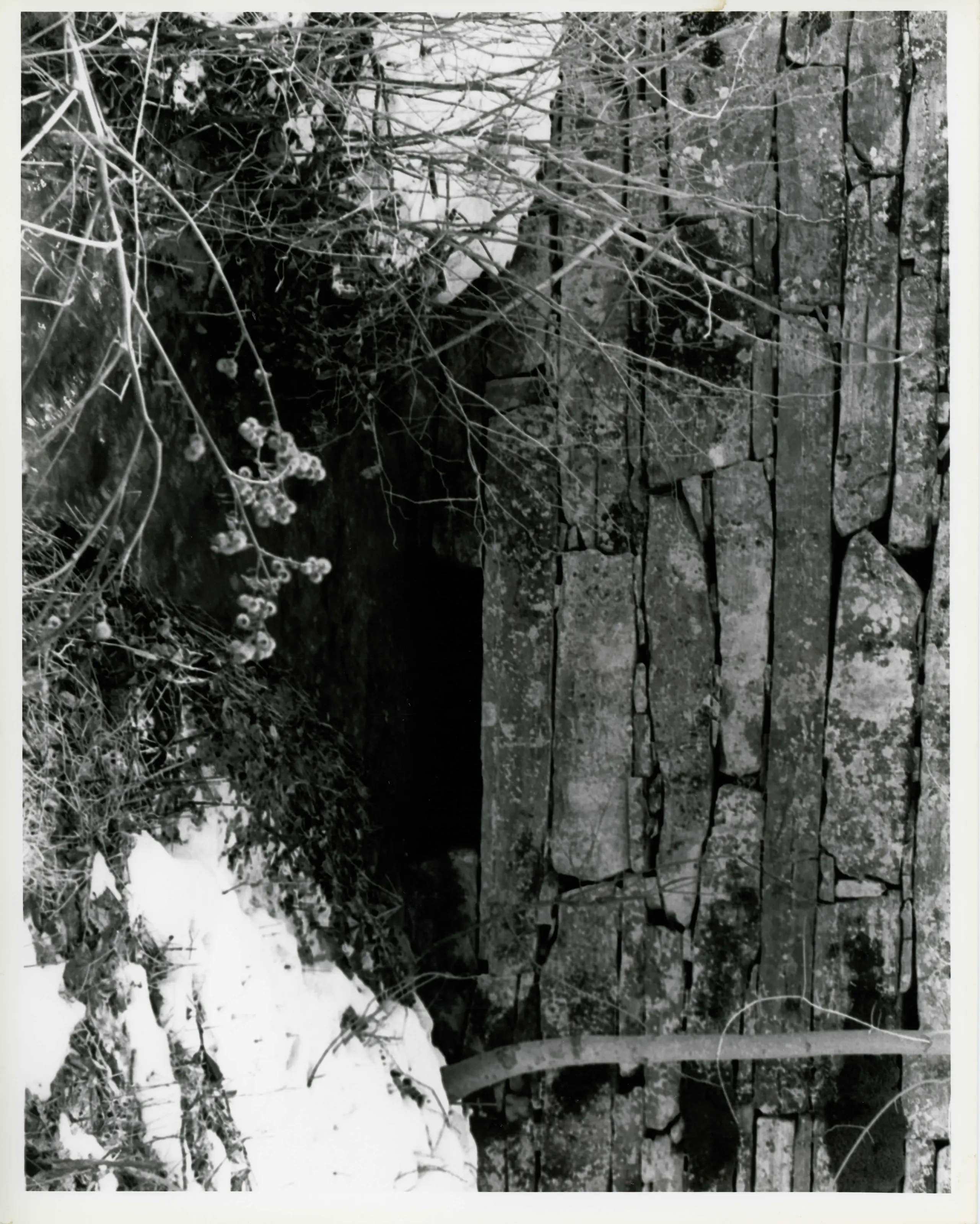
In the barns just beyond the Red Shop, the North Family is known to have engaged in shoemaking and maple sugar production. Of the latter, Daniel Myrck, a Shaker who visited Tyringham in 1846, reported, "They make a ton or more a year." Most of the North Family sisters worked at the community's dairy and weave house, now Nakomis Lodge (MHC #48, 1833). The South Family manufactories drew on the so-called Shaker Pond, created in 1830 with a dam of dry-laid stone. A sawmill, gristmill, and furnace were established below the dam. While the dam survives, the industrial structures are gone; only their foundations and subsurface features remain.
From the National Register nomination, 1987.
Quoted from the scanned form as the National Archives’ text layer reads it. Line breaks are joined; reading errors are left as they are.
Nearby listings in Tyringham
Sources, rights and limits
- Listing facts. National Park Service, National Register of Historic Places spatial data, queried 6 November 2026: type, year listed, landmark status, map location. U.S. government work, public domain.
- Nomination text and areas of significance. National Archives catalog record 63794148, “Massachusetts SP Tyringham Shaker Settlement Historic District”. National Register nomination forms are U.S. government records and public domain. The quoted text is the catalog’s text layer (machine reading of the scan, 2025-07-29), not a transcription.
- Photographs. Photographs are reproduced from the nomination file at the National Archives with the photographer’s credit as typed on the print; rights may remain with the photographer. Write to hello@parcenomics.com to have one removed.
- Location line. Address as in the Park Service layer.
- Outline. Town boundary from the Commonwealth’s town layer, generalized. Not a survey.