Sheffield · National Register
Sheffield Center Historic District
Historic district · listed 1989
- Type
- Historic district
- Town
- Sheffield
- Listed
- 1989
- Location
- Roughly US 7/Main St. from Miller Ave. to Salisbury Rd.
- Areas of significance
- Architecture; Commerce; Community Planning and Development; Social History; Transportation
- Architectural classification
- Colonial; Georgian; Early Republic; Federal; Greek Revival; Victorian; Queen Anne; Colonial Revival
- Reference number
- 89002060
About this listing
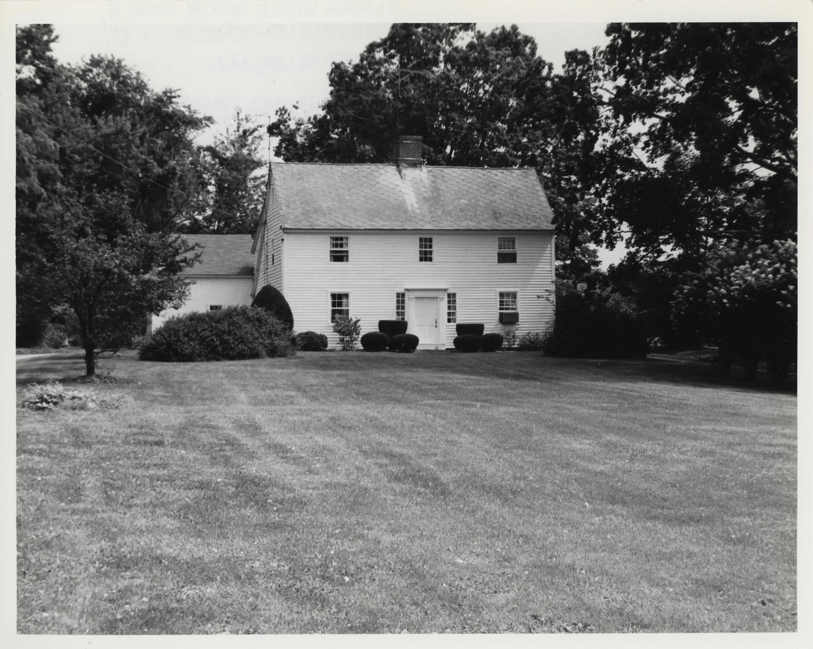
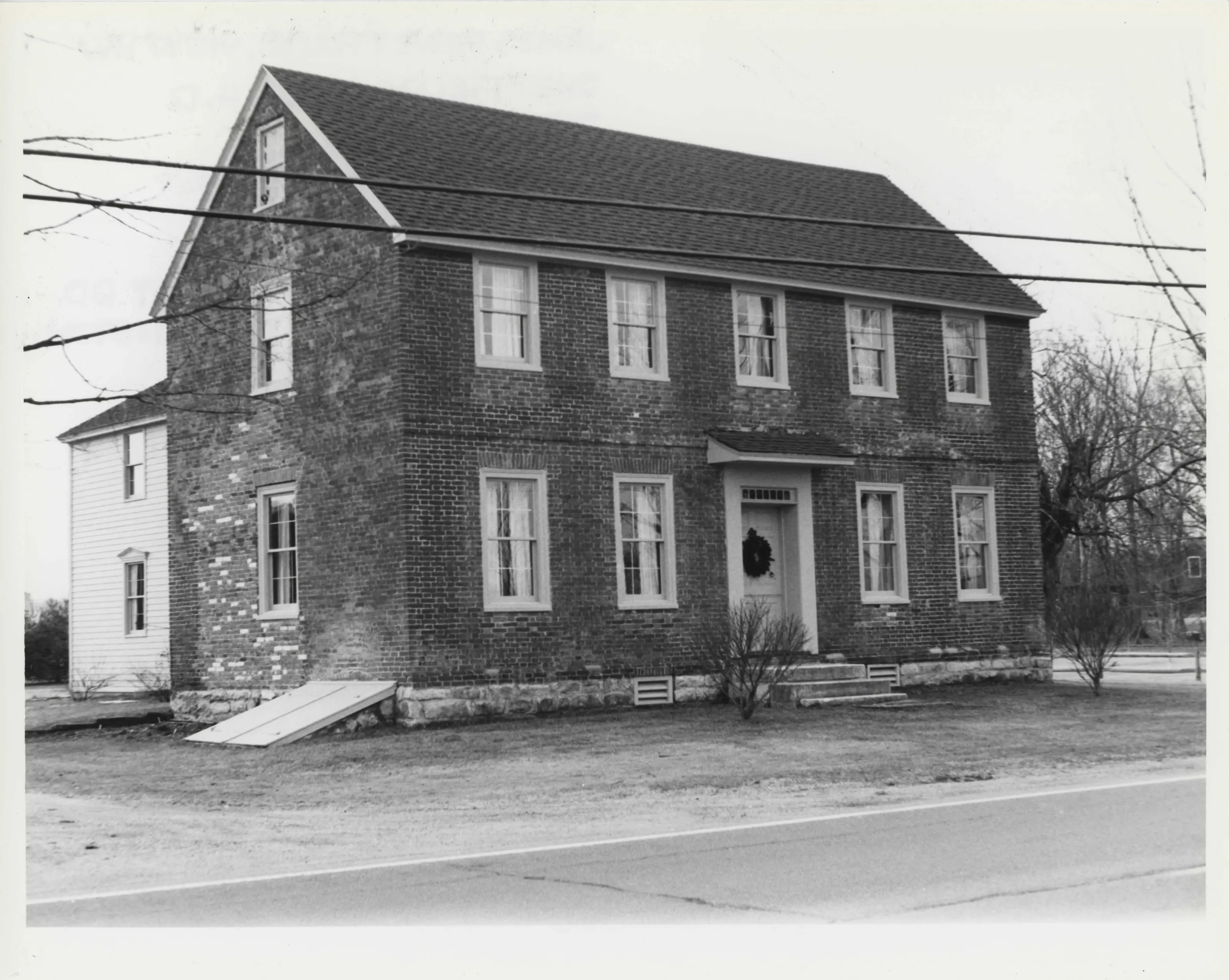
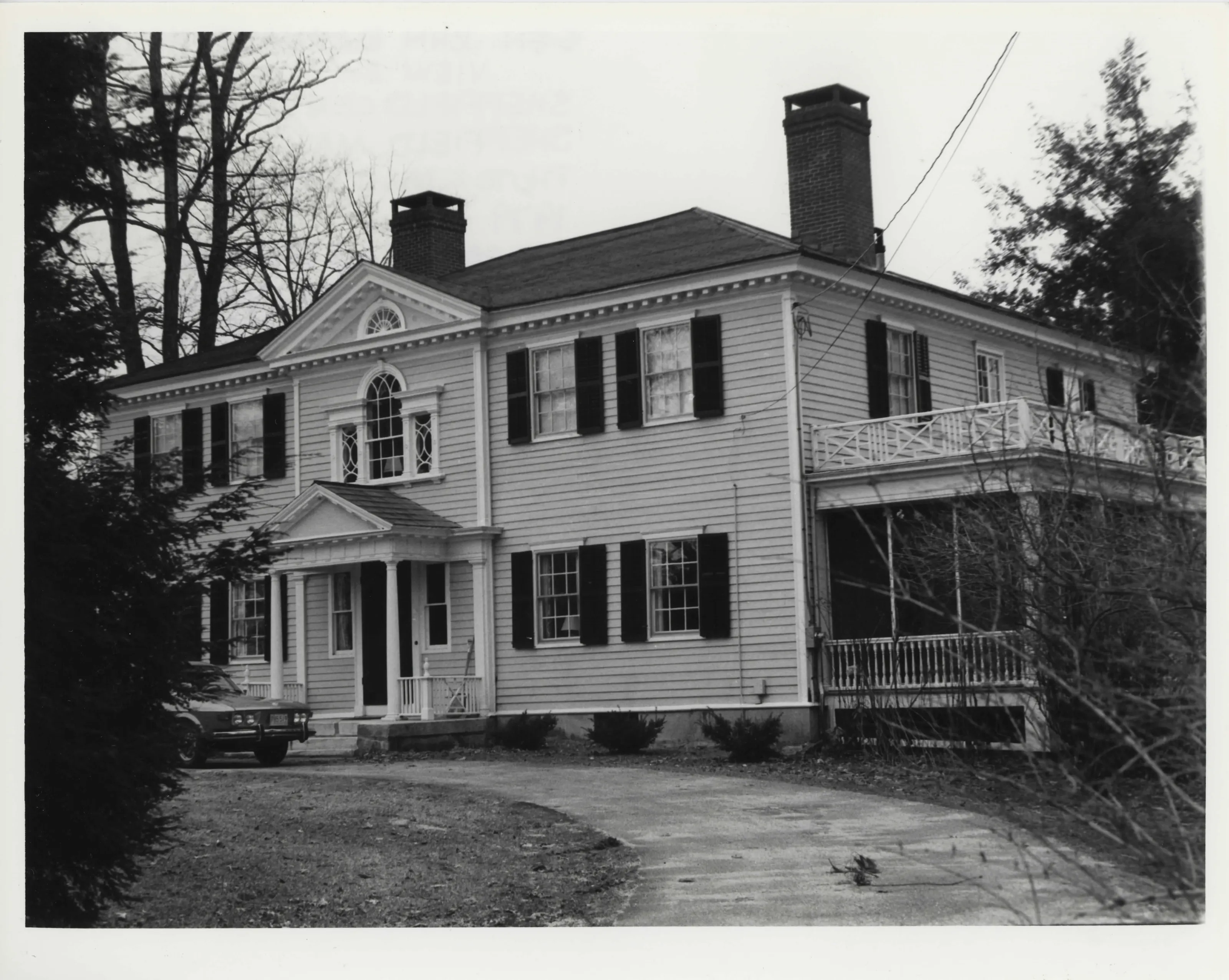
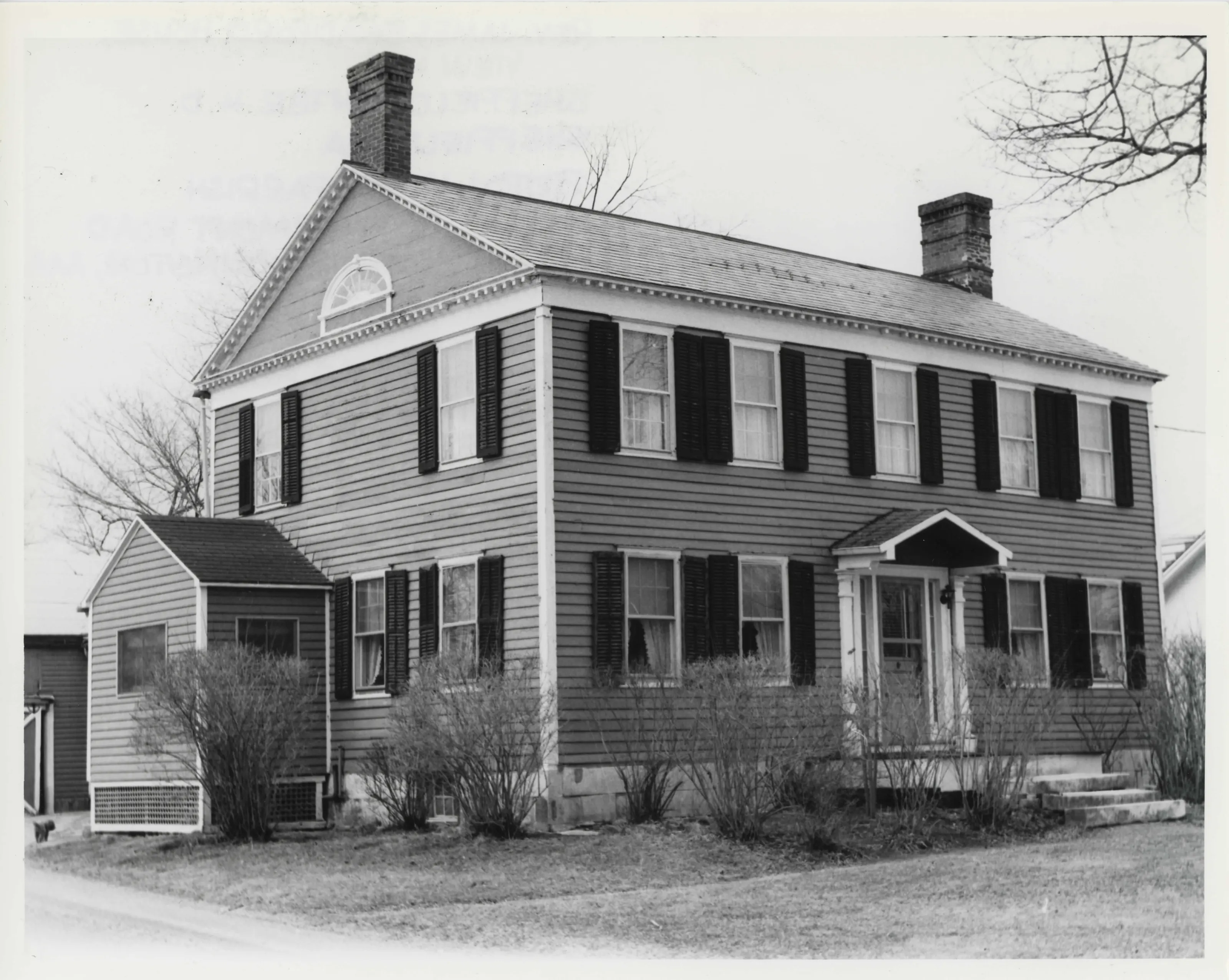
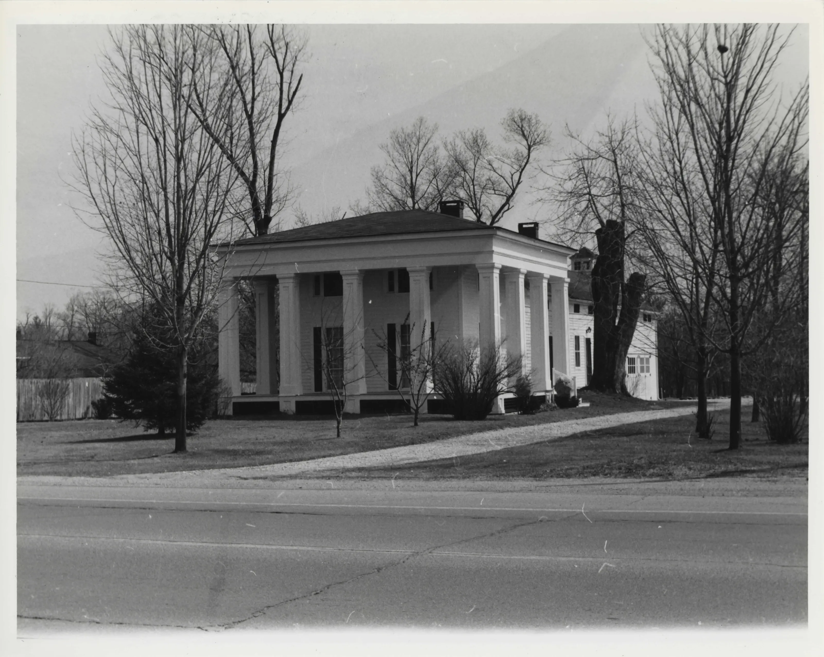
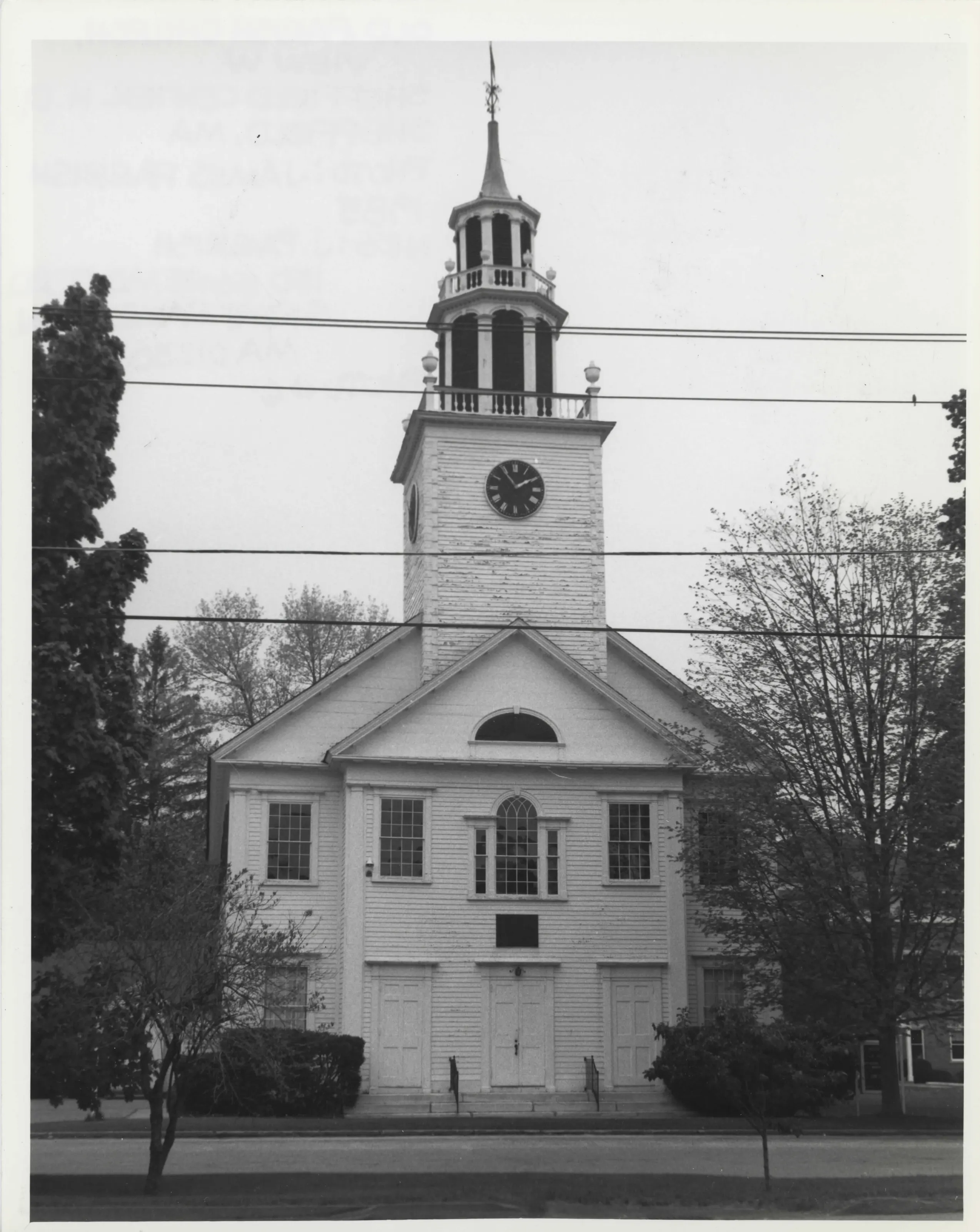
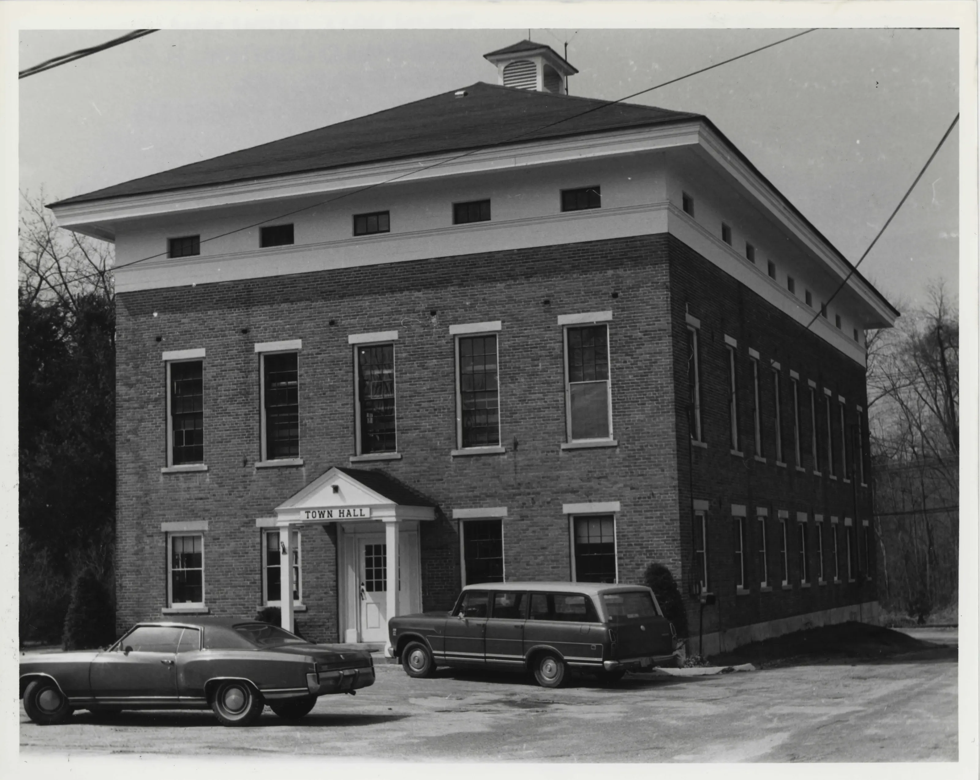
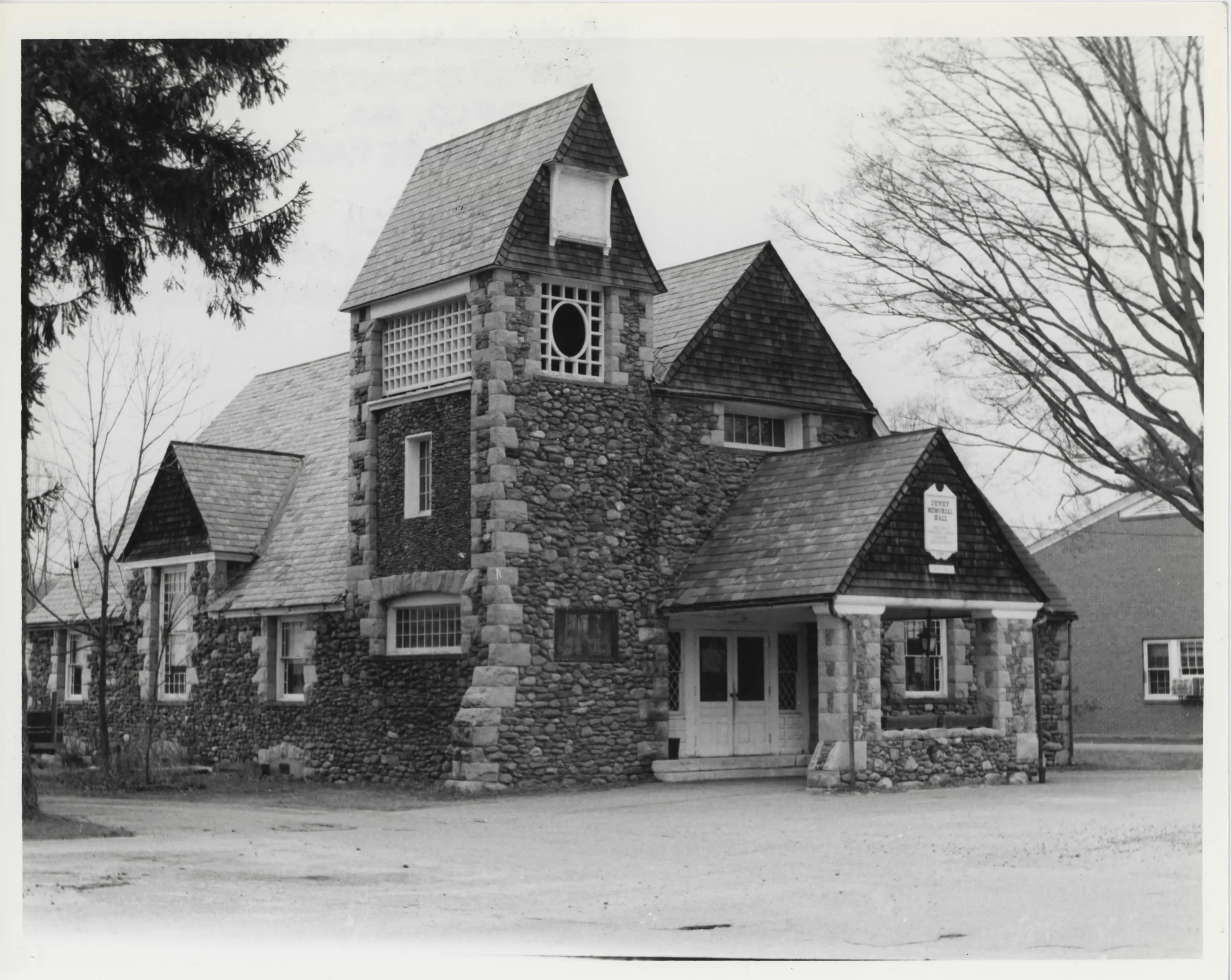
Linear village of about 117 acres along Route 7 in central Sheffield, the town's business and institutional core. It has 128 buildings, 109 contributing, with Georgian, Federal and Greek Revival houses, town hall, four churches and, the nomination says, the town's oldest extant meetinghouse (its second) and the first high school in Berkshire County. Several buildings were moved.
- Built
- ca. 1760-ca. 1938
- Architect / builder
- Dan Raymond; William R. Emerson; J. McArthur Vance; Edward F. and Richard Ensign
- Style
- Georgian, Federal and Greek Revival; Georgian Revival
- Significance and period
- Architecture; Commerce; Community Planning and Development; Social History; Transportation (ca. 1760-ca. 1938)
Between 1760 and 1900 the Center grew from a meetinghouse site into the town's commercial, transportation, religious and cultural center, and a destination for seasonal travelers. Schenob Brook separates it from Sheffield Plain, about a mile north.
“a well-preserved and visually cohesive group of residential, institutional, and commercial buildings”
National Register nomination
Summary paraphrased from the nomination text; the form is linked below.
The scanned form’s text could not be separated into its description and significance sections reliably, so those two sections are not quoted here. The full form is linked below.
Sources, rights and limits
- Listing facts. National Park Service, National Register of Historic Places spatial data, queried 6 November 2026: type, year listed, landmark status, map location. U.S. government work, public domain.
- Nomination text and areas of significance. National Archives catalog record 63794200, “Massachusetts SP Sheffield Center Historic District”. National Register nomination forms are U.S. government records and public domain. The quoted text is the catalog’s text layer (machine reading of the scan, 2024-04-06), not a transcription.
- Photographs. Photographs are reproduced from the nomination file at the National Archives with the photographer’s credit as typed on the print; rights may remain with the photographer. Write to hello@parcenomics.com to have one removed.
- Location line. Address as in the Park Service layer.
- Outline. Town boundary from the Commonwealth’s town layer, generalized. Not a survey.