Mount Washington · National Register
Osborn, Benjamin, House
Building · listed 1987
- Type
- Building
- Town
- Mount Washington
- Listed
- 1987
- Location
- West St., E on private Rd.
- Areas of significance
- Architecture; Exploration/Settlement; Religion
- Architectural classification
- New England Colonial
- Reference number
- 87001758
About this listing
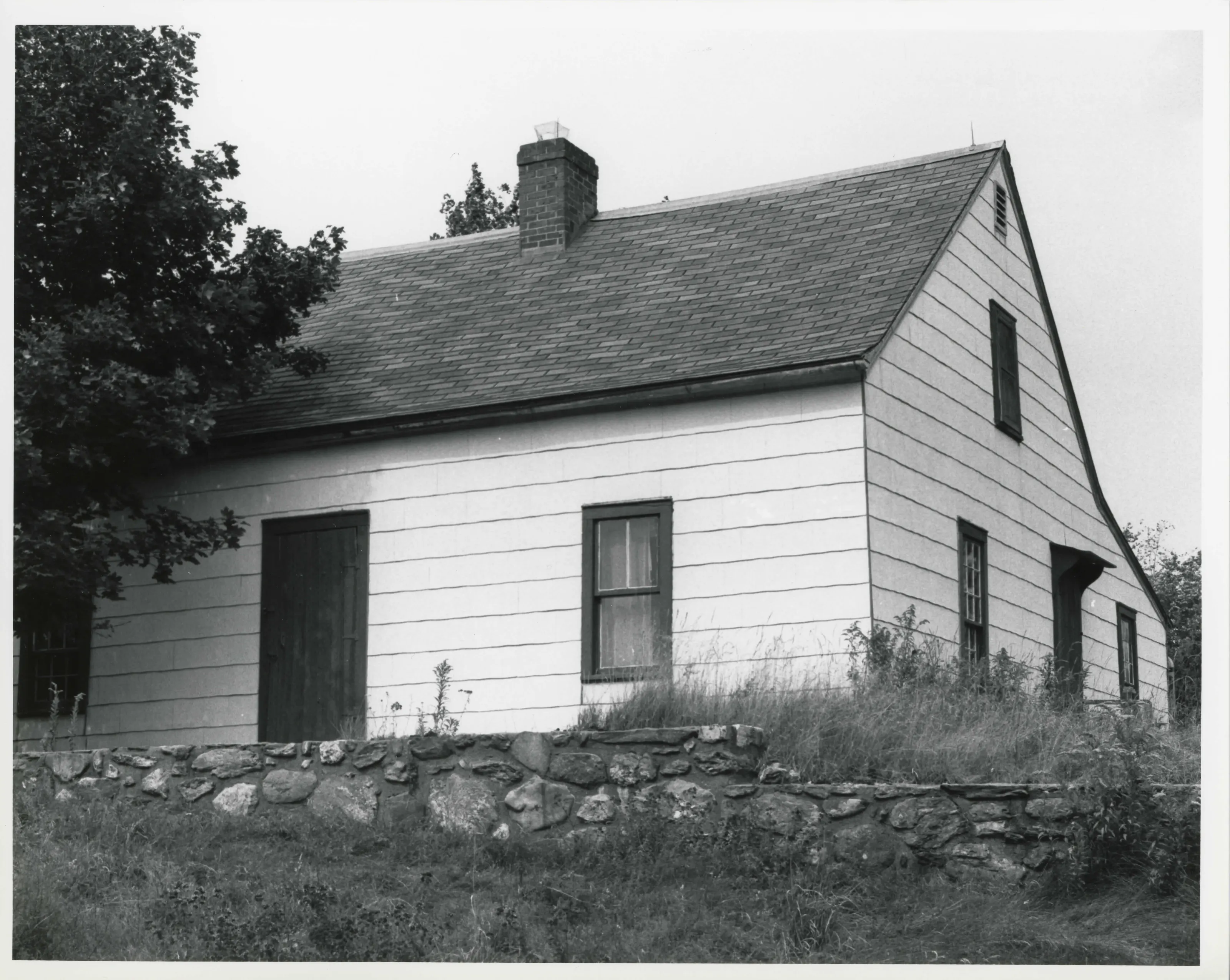
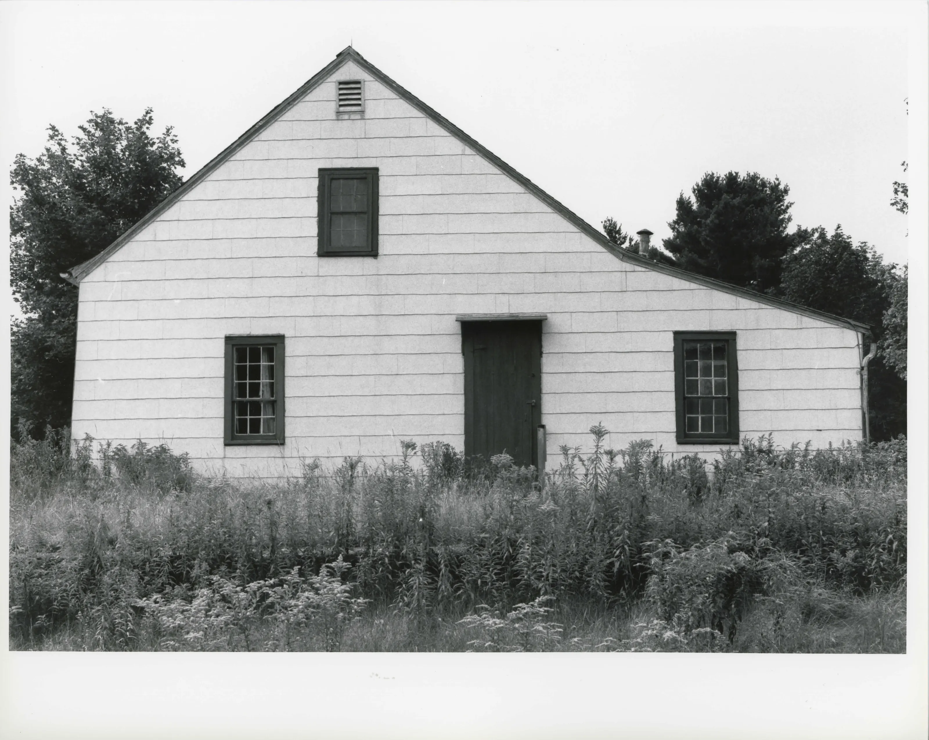
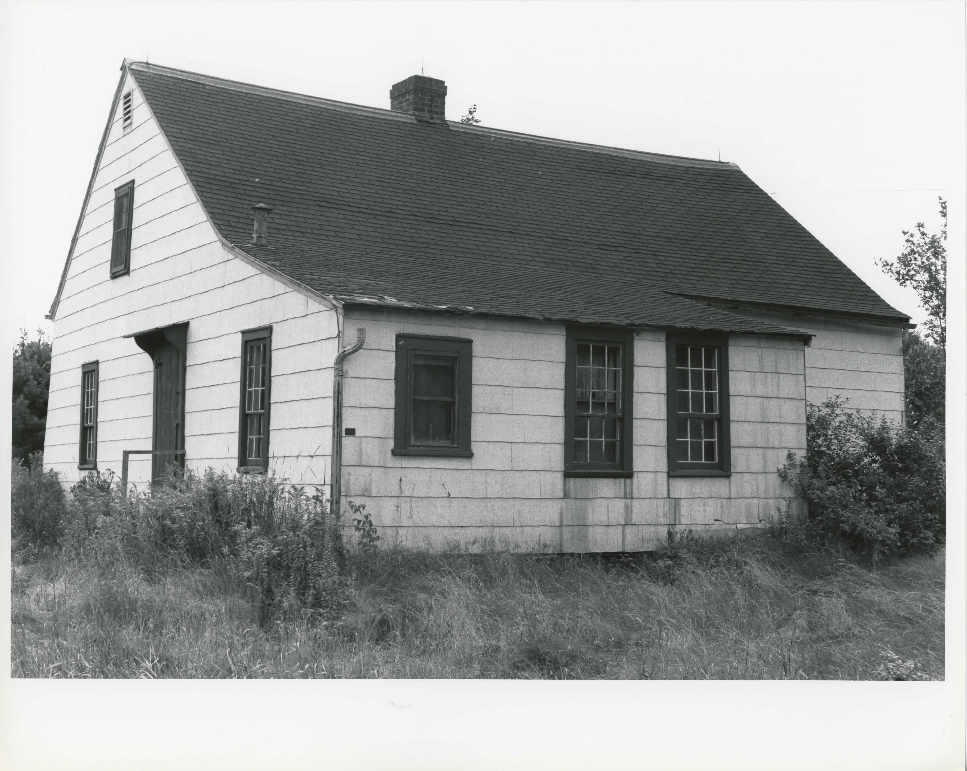
Small one-story gable-roofed house in Mount Washington, built around 1759 on a 93-acre lot by an early settler. The nomination describes it as the oldest standing structure in the town. In 1781 the family welcomed Shaker evangelists on their first New England tour; the house is also called the Mother Ann Lee House.
- Built
- c. 1759 (exact date unknown)
- Architect / builder
- Benjamin Osborn (builder-owner)
- Style
- Colonial vernacular; center-chimney, two-room plan
- Significance and period
- Exploration/Settlement; Religion (1750-1781)
- People named
- Benjamin Osborn; Ann Lee
Mount Washington was not settled by colonials until the second quarter of the 18th century and was not incorporated until 1779, after raids in the 1750s tied to New York manor land claims.
“the oldest standing structure in the community”
National Register nomination
Summary paraphrased from the nomination text; the form is linked below.
The scanned form’s text could not be separated into its description and significance sections reliably, so those two sections are not quoted here. The full form is linked below.
Sources, rights and limits
- Listing facts. National Park Service, National Register of Historic Places spatial data, queried 6 November 2026: type, year listed, landmark status, map location. U.S. government work, public domain.
- Nomination text and areas of significance. National Archives catalog record 63794284, “Massachusetts SP Osborn, Benjamin, House”. National Register nomination forms are U.S. government records and public domain. The quoted text is the catalog’s text layer (machine reading of the scan, 2024-04-06), not a transcription.
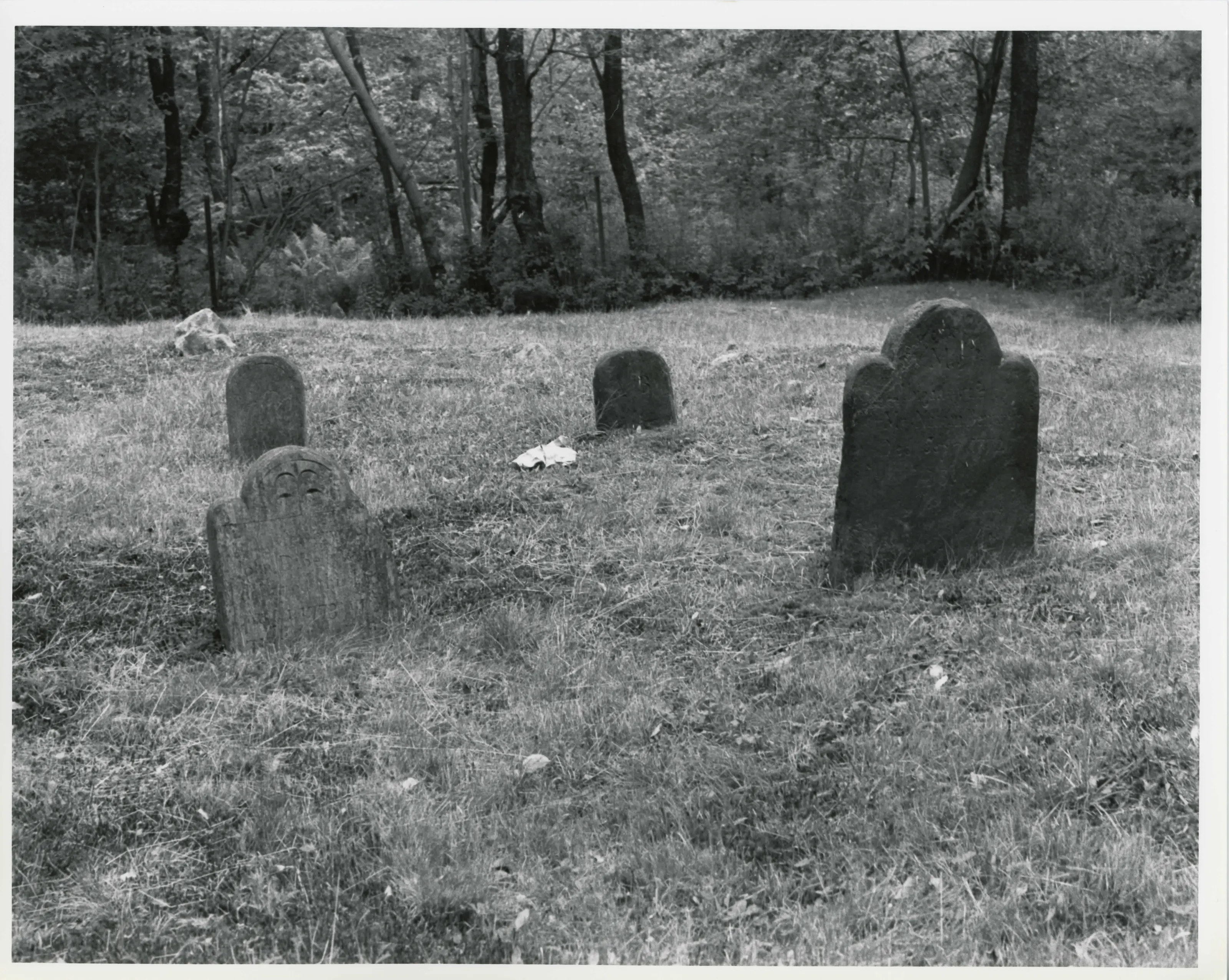
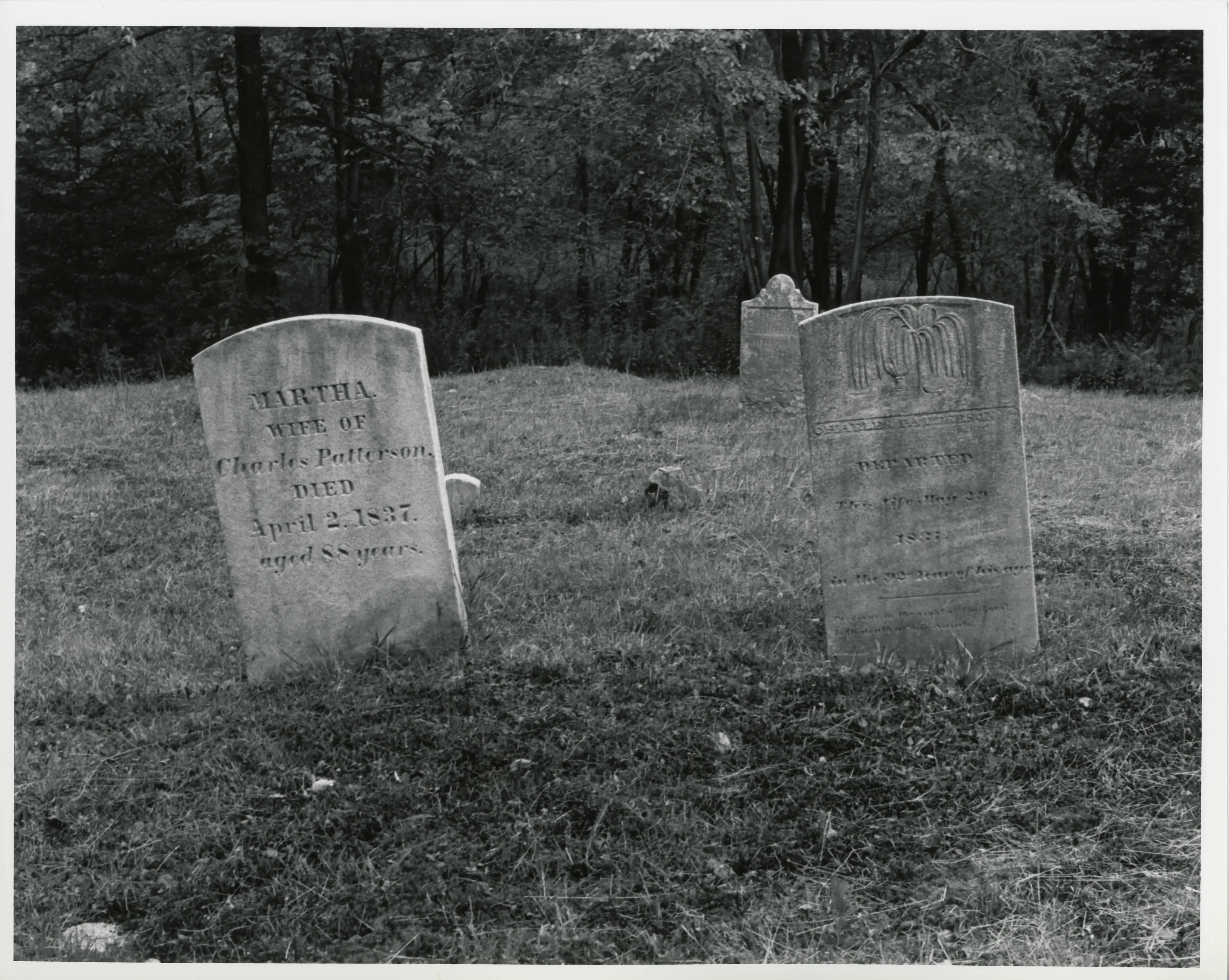
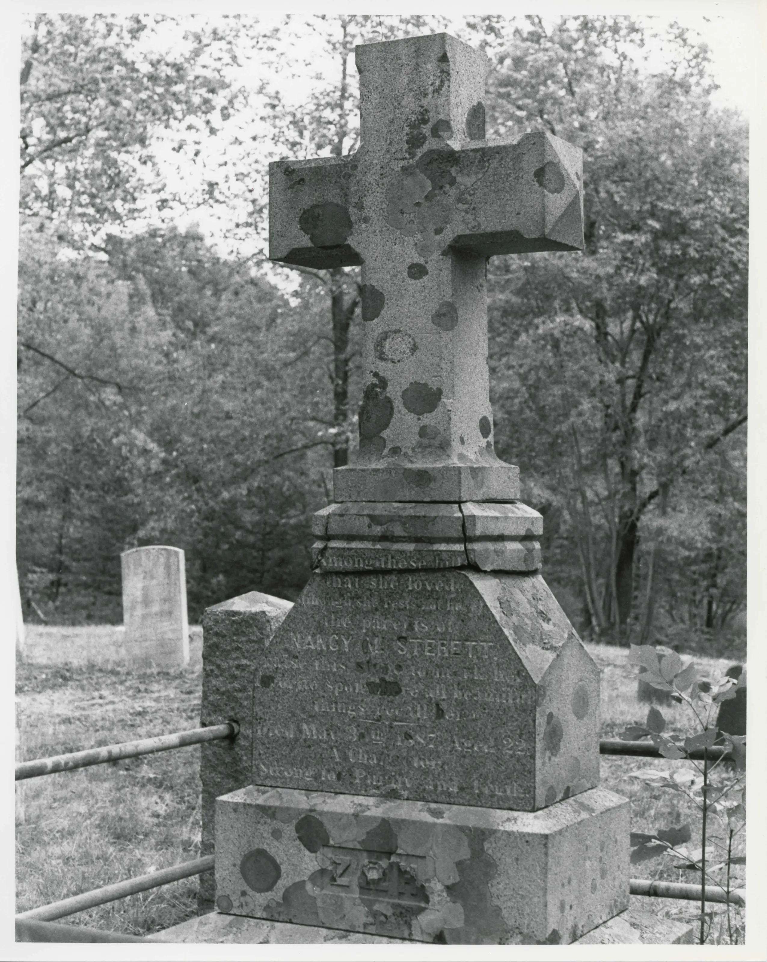
- Photographs. Photographs are reproduced from the nomination file at the National Archives with the photographer’s credit as typed on the print; rights may remain with the photographer. Write to hello@parcenomics.com to have one removed.
- Location line. Address as in the Park Service layer.
- Outline. Town boundary from the Commonwealth’s town layer, generalized. Not a survey.