Lanesborough · National Register
Pettibone Farm
Historic district · listed 1991
- Type
- Historic district
- Town
- Lanesborough
- Listed
- 1991
- Location
- Old Cheshire Rd. N of jct. with Nobodys Rd.
- Areas of significance
- Architecture; Agriculture; Recreation
- Architectural classification
- Georgian; Federal
- Reference number
- 90001944
About this listing
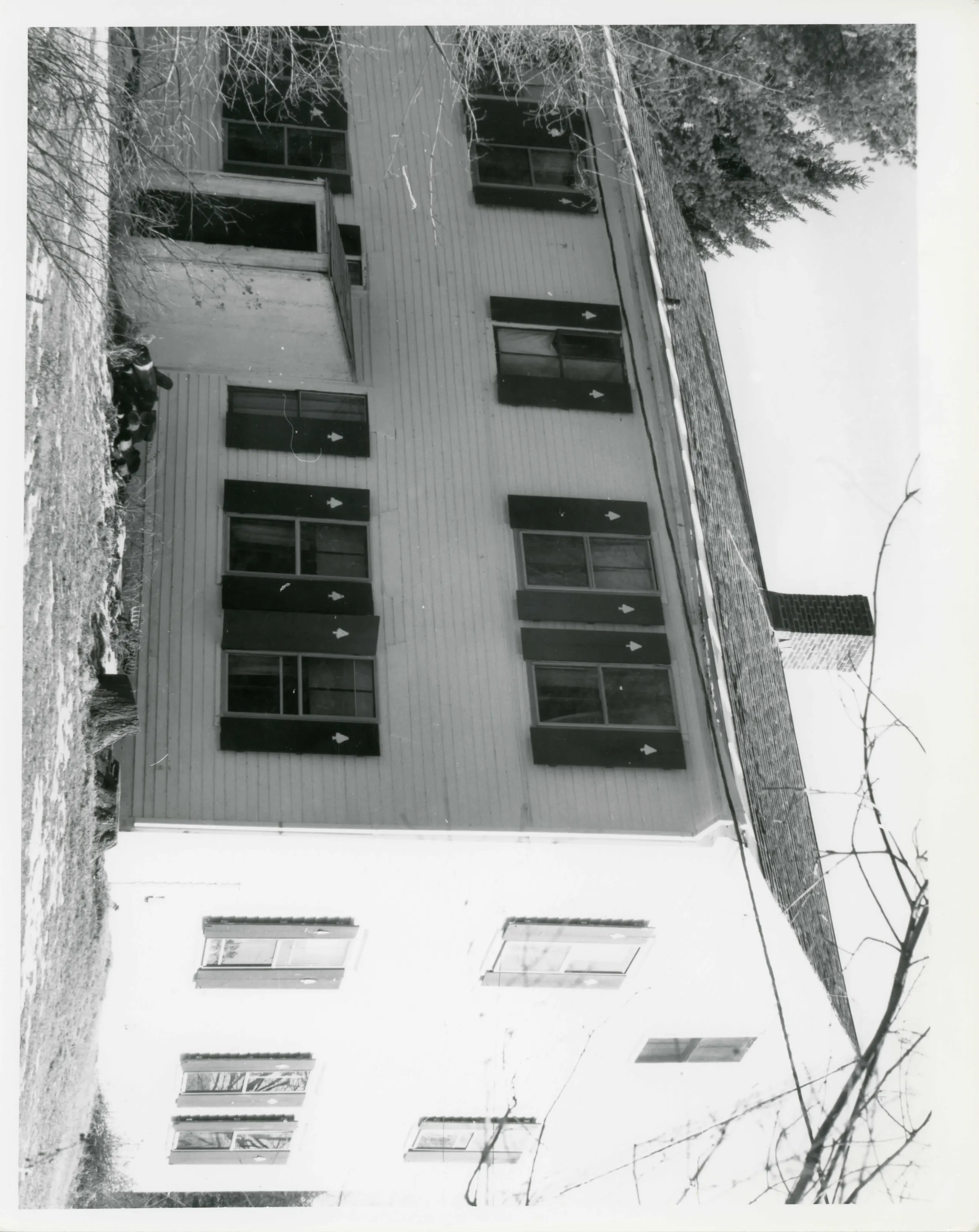
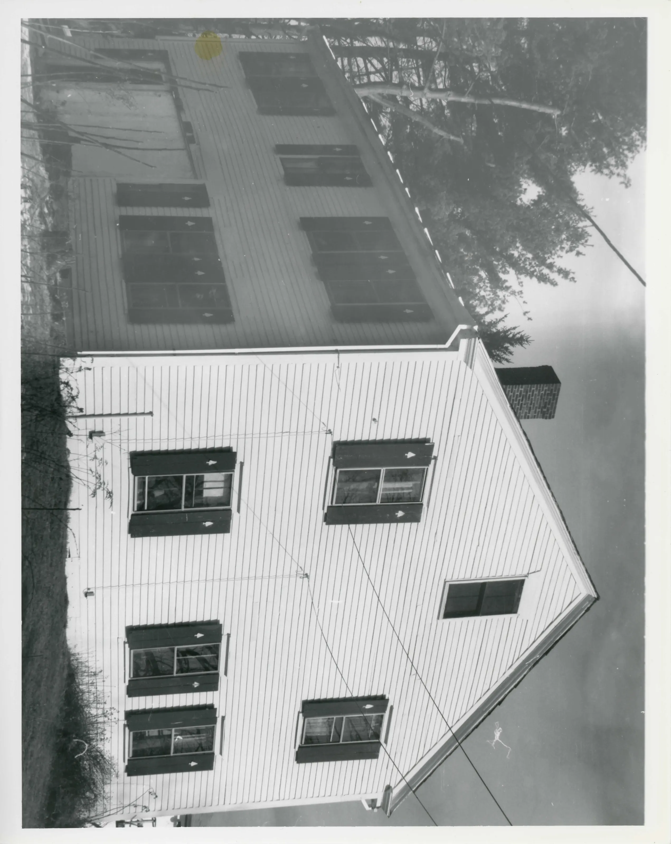
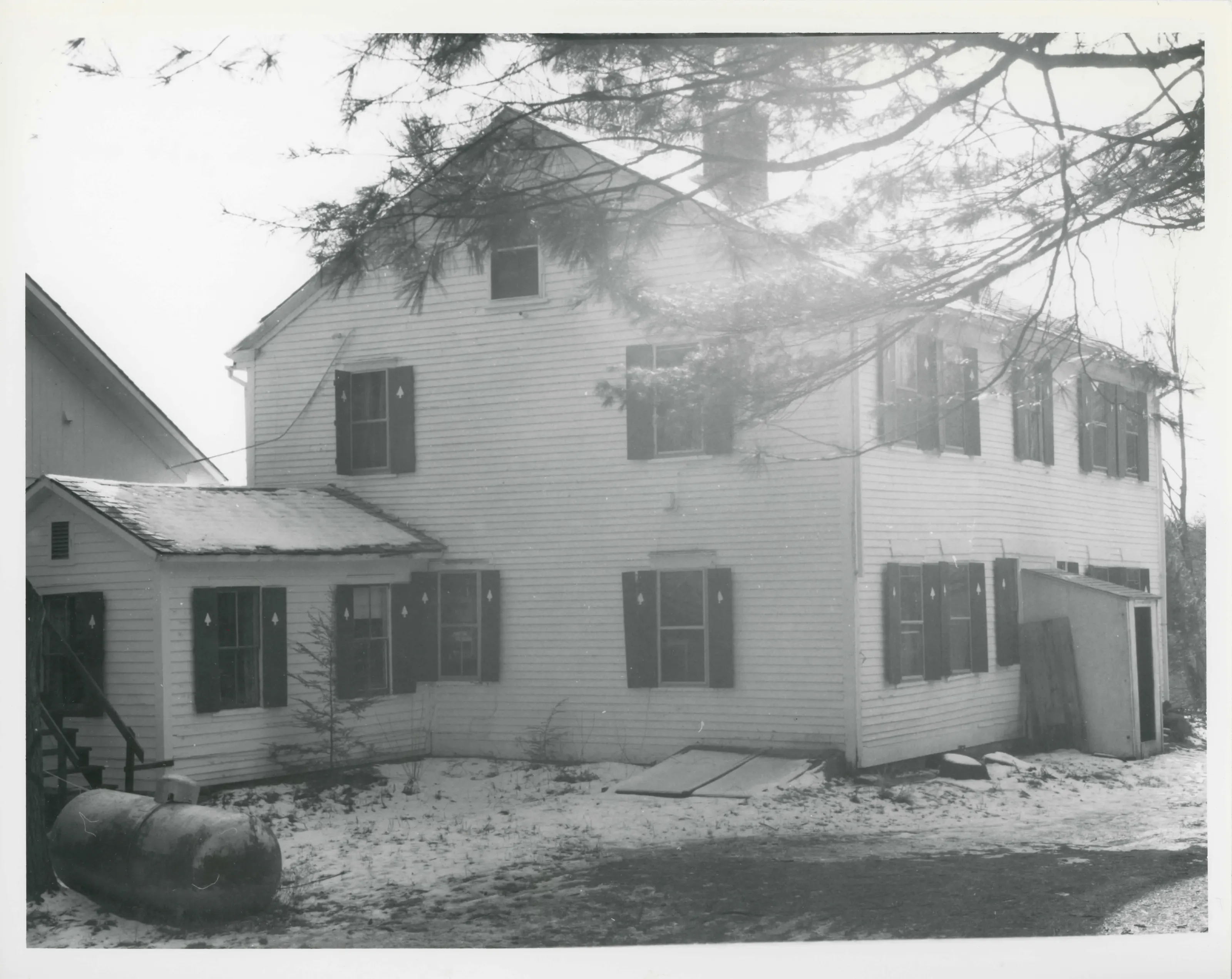
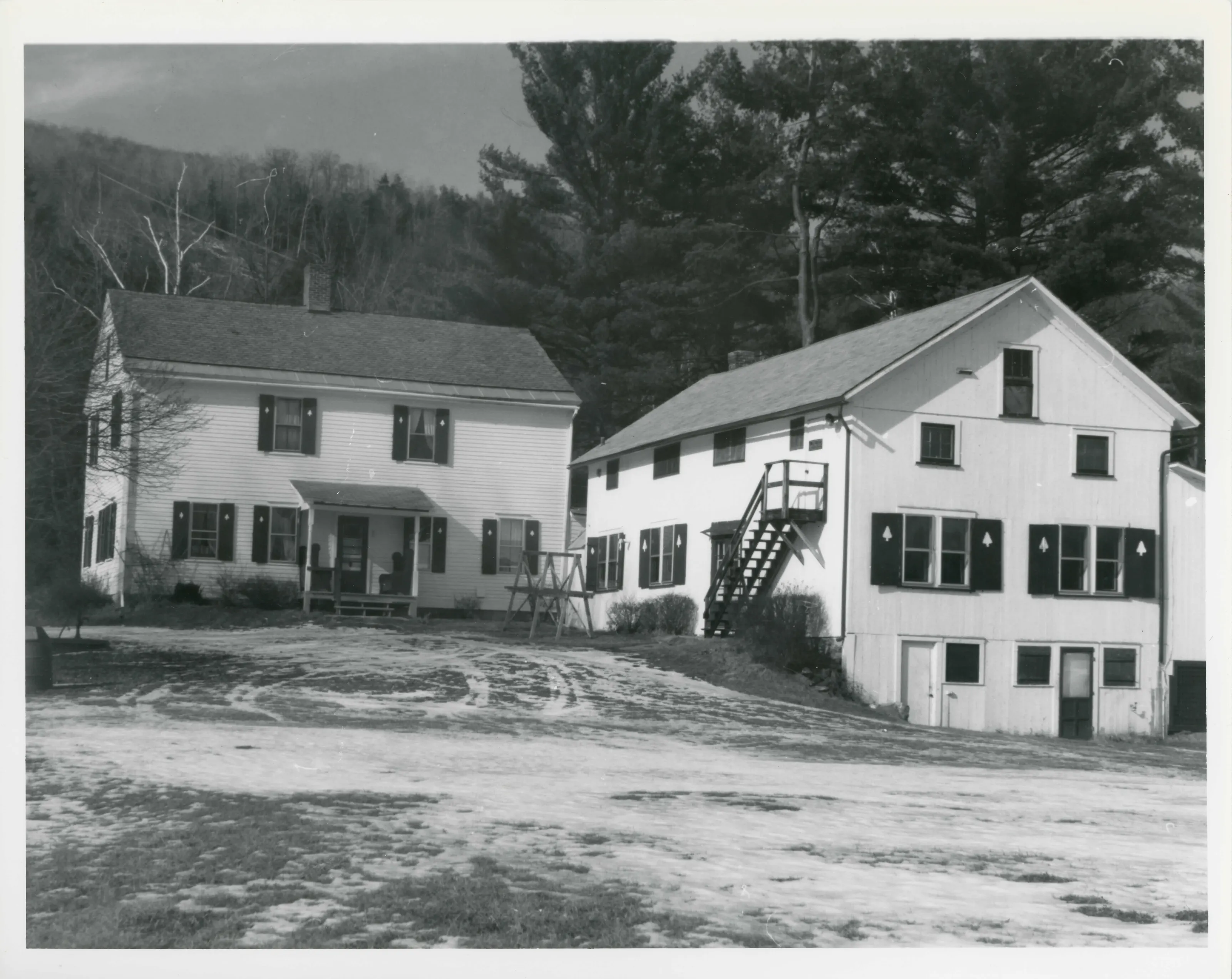
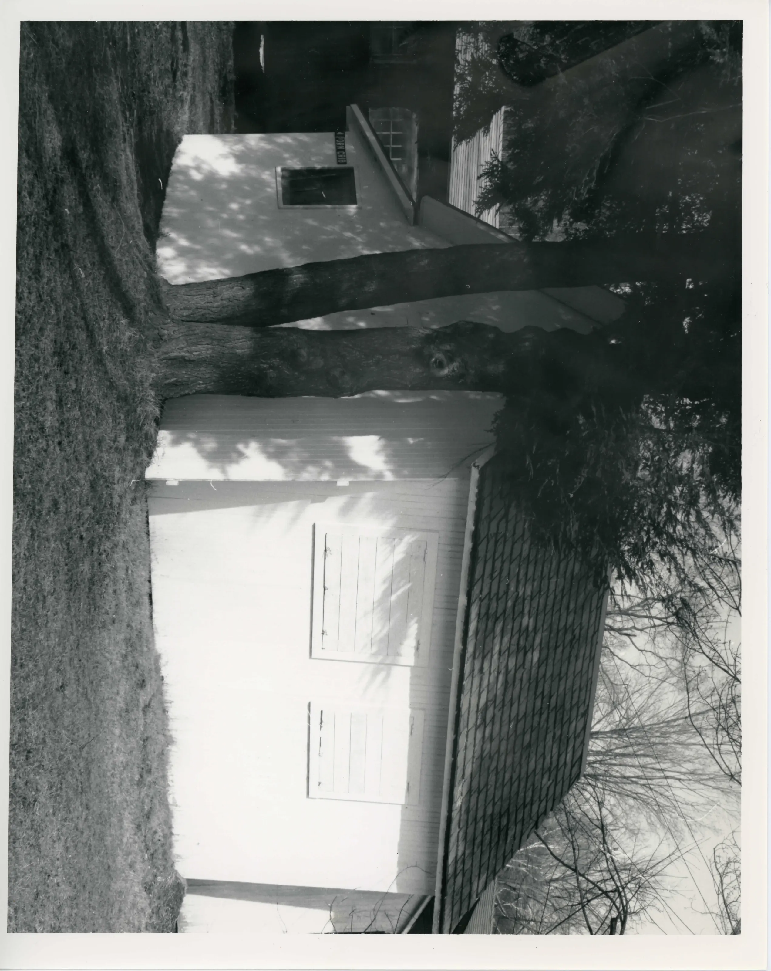
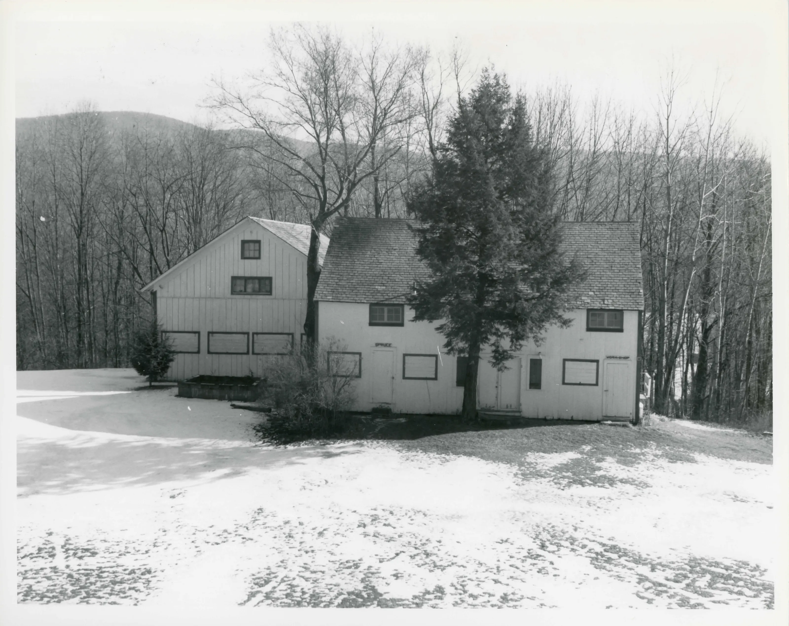
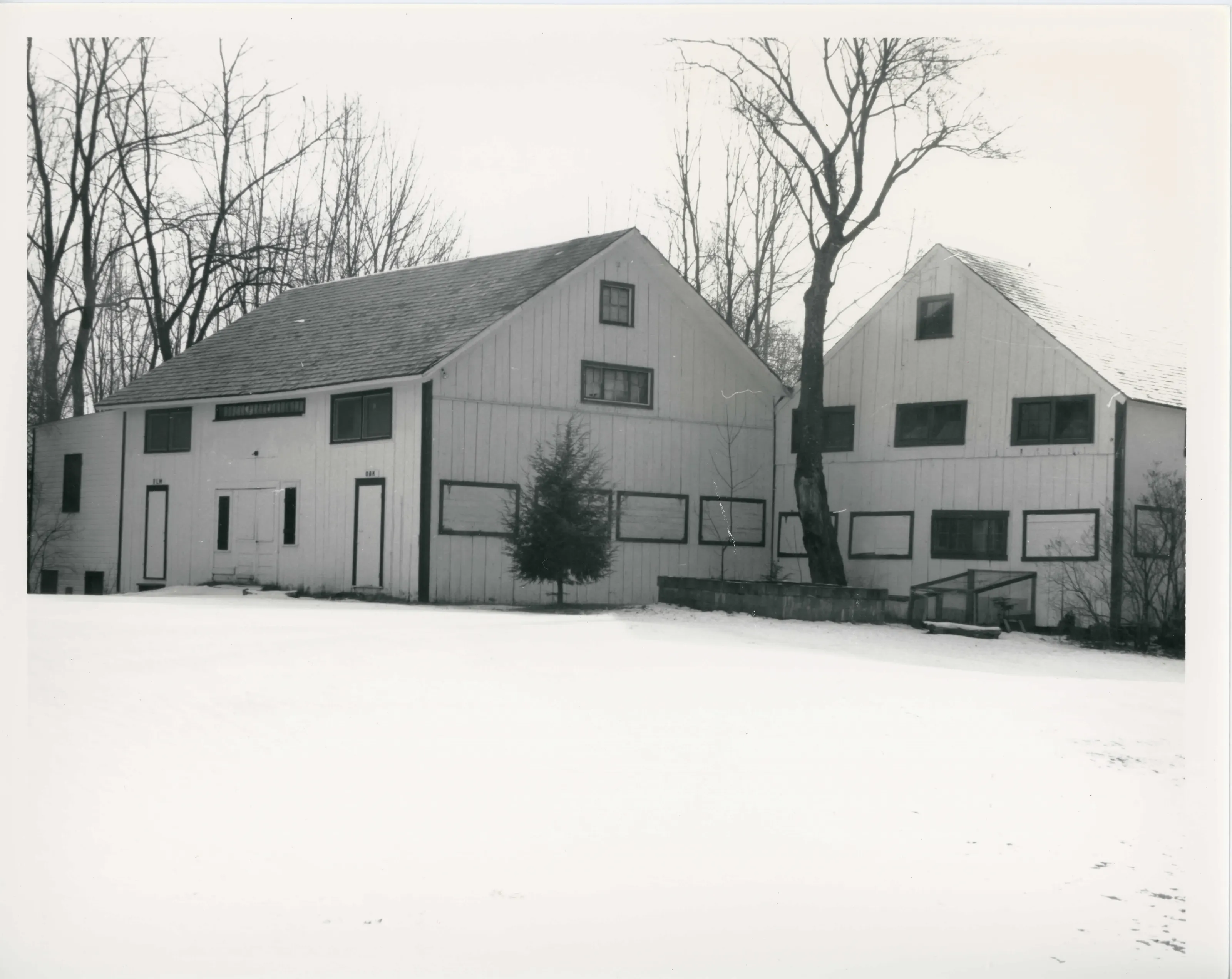
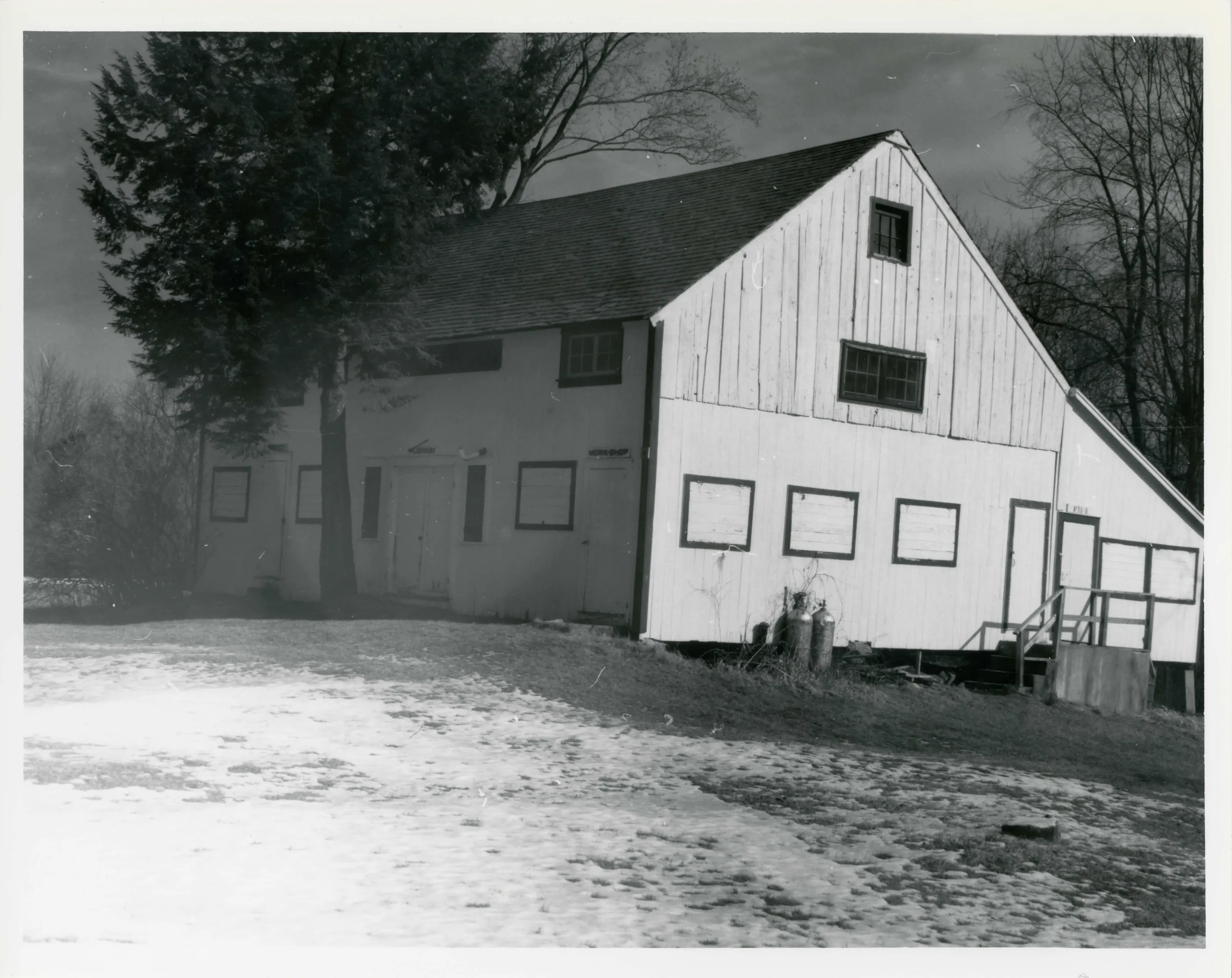
Farm on Old Cheshire Road in Lanesborough, below Mt. Greylock. The nominated core is the Georgian/Federal farmhouse of about 1789, four period barns and outbuildings, a well and stone walls. The Pettibone family farmed it; in the 20th century it became a summer camp.
- Built
- ca. 1789 (house); barns ca. 1828 and ca. 1845-1850
- Style
- Georgian/Federal
- Significance and period
- Architecture; Agriculture; Recreation (ca. 1789-1940)
- People named
- Jonathan Pettibone; Amos Pettibone
Only the meadow around the buildings, about four acres, is nominated. The form excludes the rest of the 90-acre property because it no longer reads as an agricultural landscape.
“a typical and well-preserved vernacular example of late Georgian/early Federal domestic architecture”
National Register nomination
Summary paraphrased from the nomination text; the form is linked below.
What the nomination says it is
The property drops to 970 feet in elevation at the Cheshire Reservoir on the easterly edge of the old farm. Pettibone Brook, lies to the northwest of the formhouse and joins the Muddy Brook, running along the westernmost part of the property to enter Lake Hoosac. A sawmill operated on the Pettybone Brook at an unknown date.
From the National Register nomination, 1991.
Quoted from the scanned form as the National Archives’ text layer reads it. Line breaks are joined; reading errors are left as they are.
Nearby listings in Lanesborough
Sources, rights and limits
- Listing facts. National Park Service, National Register of Historic Places spatial data, queried 6 November 2026: type, year listed, landmark status, map location. U.S. government work, public domain.
- Nomination text and areas of significance. National Archives catalog record 63794172, “Massachusetts SP Pettibone Farm”. National Register nomination forms are U.S. government records and public domain. The quoted text is the catalog’s text layer (machine reading of the scan, 2025-07-29), not a transcription.
- Photographs. Photographs are reproduced from the nomination file at the National Archives with the photographer’s credit as typed on the print; rights may remain with the photographer. Write to hello@parcenomics.com to have one removed.
- Location line. Address as in the Park Service layer.
- Outline. Town boundary from the Commonwealth’s town layer, generalized. Not a survey.